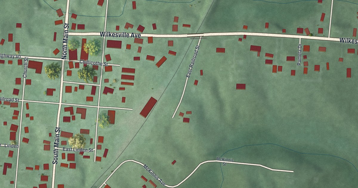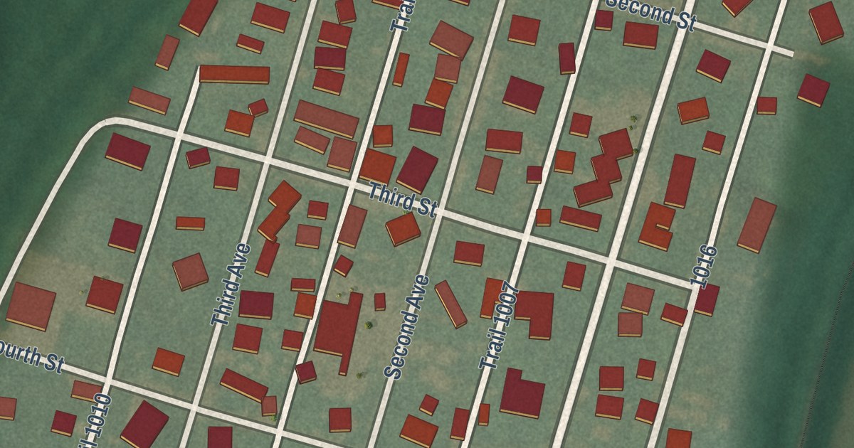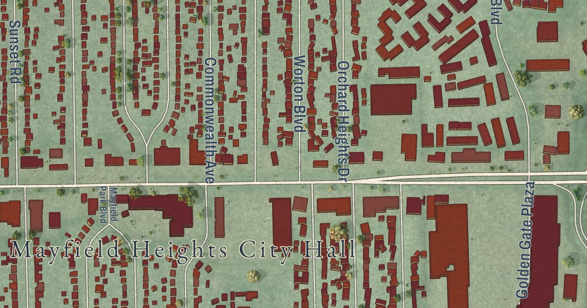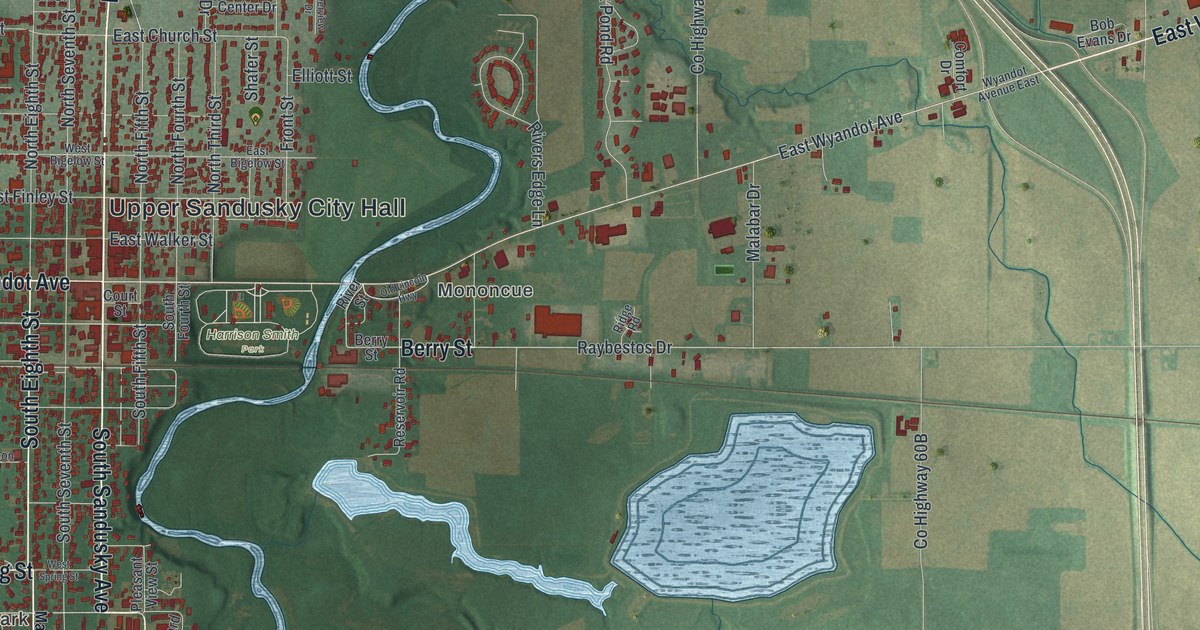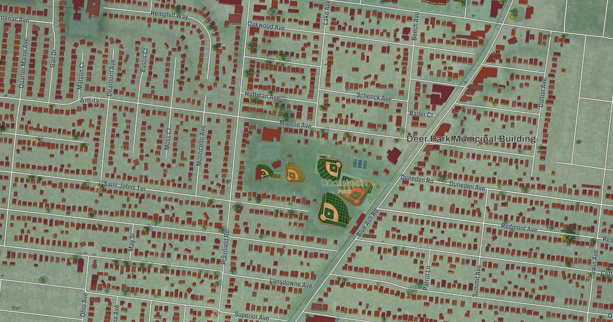
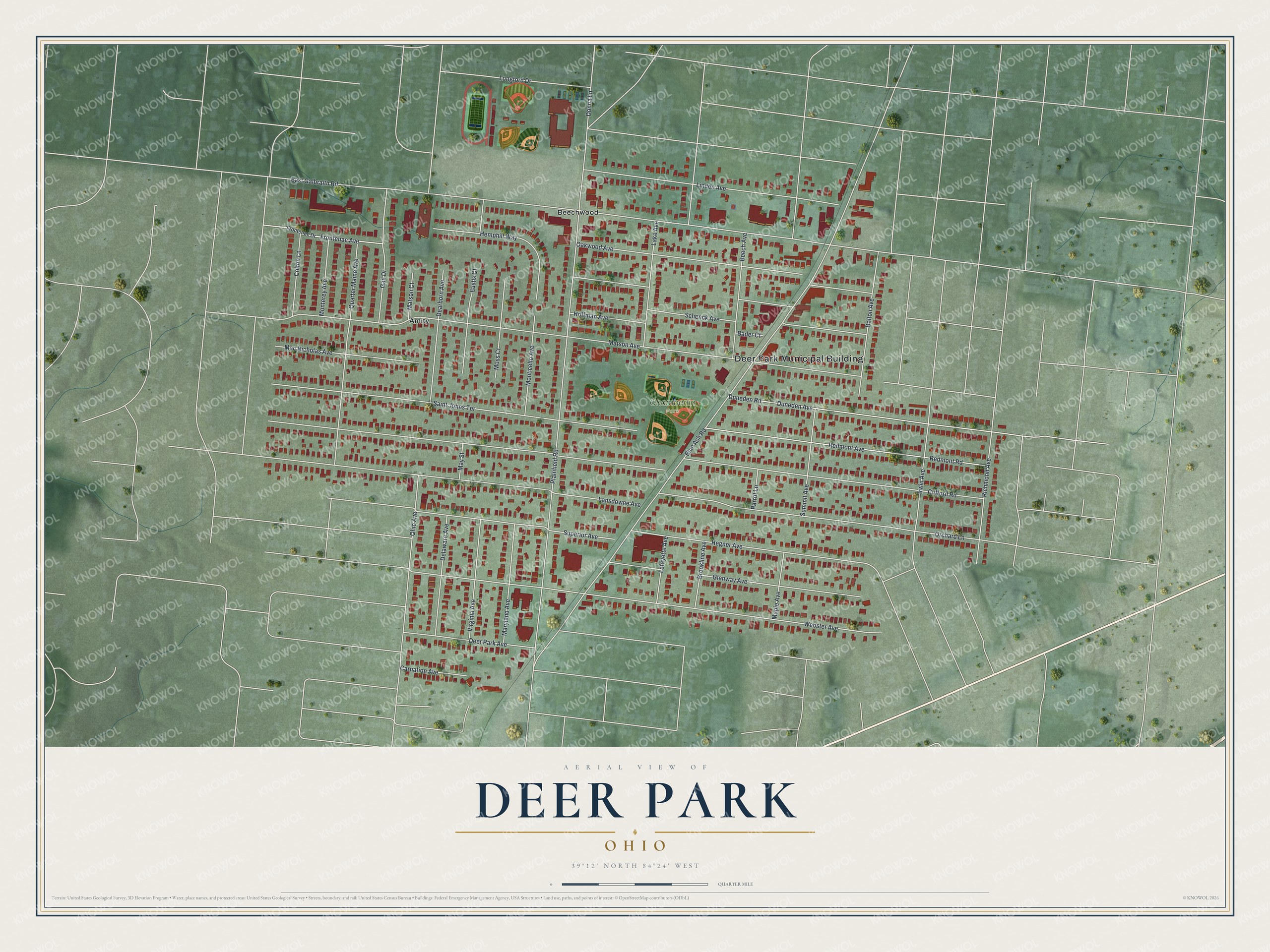
This beautifully detailed map of Deer Park, Ohio was created in 2026 using aerial imagery combined with modern topographical, census, street and landmark data. It’s a one-of-a-kind view of Deer Park that combines accurate data with a vintage aesthetic. The map shows every building in its true location, many of the roads carry their names, and the shaded topographic relief shows the shape of the land.
Explore an aerial view of Deer Park, Ohio
On the map you’ll find Deer Park Municipal Building, Chamberlin Park, Amity, and Beechwood, along with East Galbraith Road, Matson Avenue, Plainfield Road, Blue Ash Road, Webster Avenue, Lansdowne Avenue, Saint Johns Terrace, Orchard Lane, and more. If you look closely you can even find your house accurately drawn in its correct location. Zoom in on the preview to look for yours.
Did you know this piece of Deer Park, Ohio history?
From the 1894 History of Cincinnati and Hamilton County, Ohio: "Deer Park is situated upon the farm originally settled in 1796 by Samuel Pierson, whose descendants owned the property until its subdivision by a land syndicate."
Take a closer look at the Deer Park map
Street and place names on the Deer Park, Ohio map
These names are printed on the map of Deer Park, Ohio.
Places: Deer Park Municipal Building, Chamberlin Park, Amity and Beechwood.
Streets and roads: East Galbraith Road, Matson Avenue, Plainfield Road, Blue Ash Road, Webster Avenue, Lansdowne Avenue, Saint Johns Terrace, Orchard Lane, Schenck Avenue, Clifford Road, Oakwood Avenue, Redmont Avenue.
More street names, A to Z
Bader Court, Beech Avenue, Brookline Avenue, Carnation Avenue, Colton Lane, Dalton Avenue, Dearborn Avenue, Deer Park Avenue, Delaware Avenue, Donna Lane, Duneden Avenue, Duneden Road, Eustis Court, Frontenac Avenue, Frontenac Drive, Gail Drive, Glenway Avenue, Hegner Avenue, Hemphill Way, Hoffman Avenue, Irwin Avenue, Lafayette Avenue, Lake Avenue, Linden Avenue, Longford Drive, Mac Nicholas Avenue, Maple Avenue, Maryland Avenue, Matson Court, May Street, Monterey Avenue, Monticello Avenue, Moss Court, Ohio Avenue, Parrot Lane, Quarter Maine Avenue, Redmont Road, Richmond Avenue, Summit Avenue, Superior Avenue, Virginia Avenue.
See the Deer Park, Ohio map on a wall
The Deer Park map as an 18 x 24 inch print in a black frame.

This beautifully detailed map of Deer Park makes an attractive addition to your office, library, or den, and it can even be used to teach children the geography and history of the area. It also makes a great gift for someone who left Deer Park and still calls it home. When you’re done exploring, click here to get your copy of the Deer Park map.