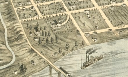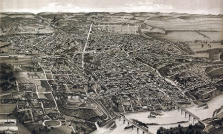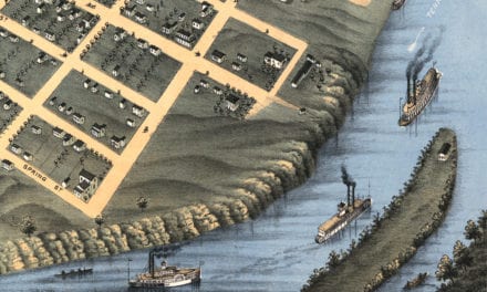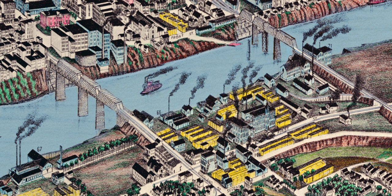
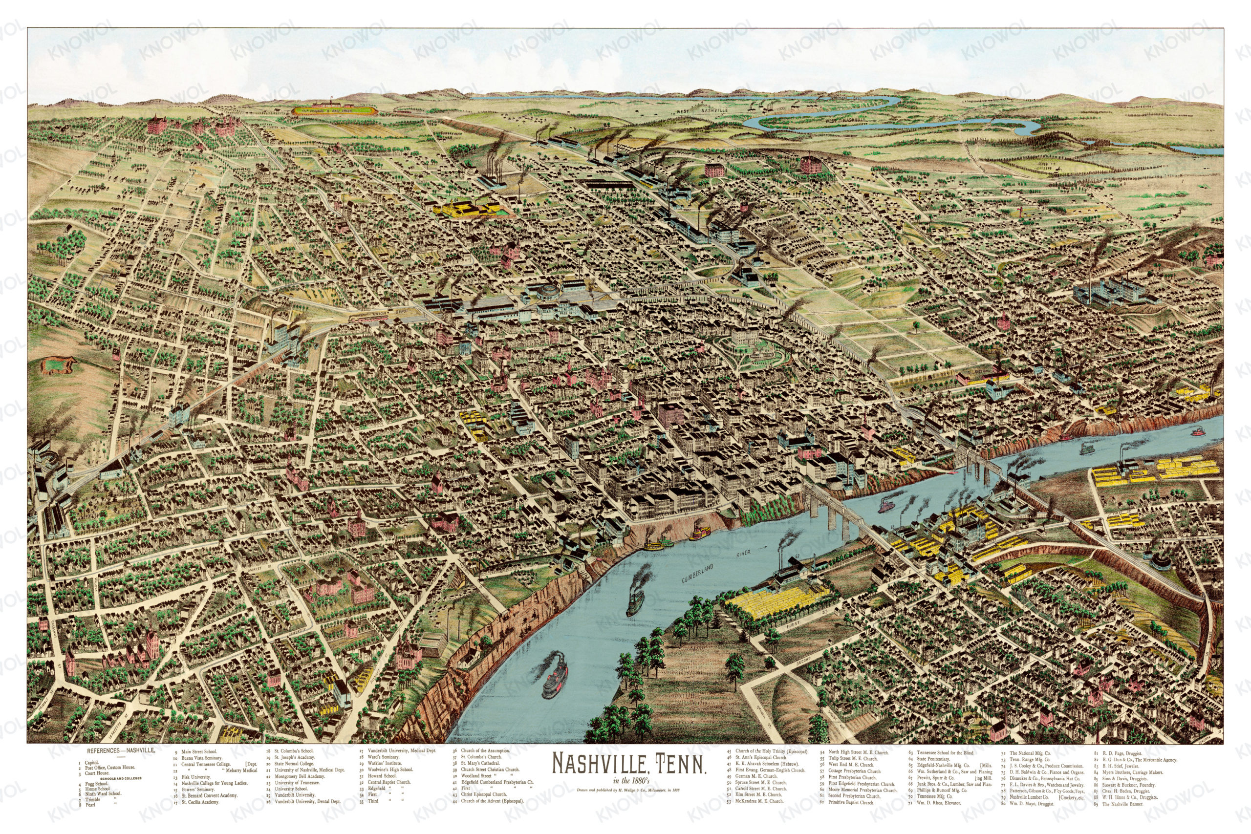
This historic map of Nashville, Tennessee was created in 1888 by Henry Wellge, a prominent 19th century map maker. The map shows a bird’s eye view of Nashville as it once was, including street names and old landmarks.
Landmarks on the map include Vanderbilt University, Nashville College for Young Ladies, Watkin’s Institute, Tennessee School for the Blind, Nashville Banner, Fisk University, Montgomery Bell Academy, University of Nashville, various churches, and more.
This historic map of Nashville has been restored by KNOWOL. Reproductions of the restored map are available here.
Historic Old Map of Nashville, TN from 1888
This old map of Nashville makes an attractive addition to your office, library, or den, and can even be used to teach children the geography and history of the area. When you’re done exploring, click here to get your copy of the restored map.