Detailed Map of Colonial Heights, Tennessee
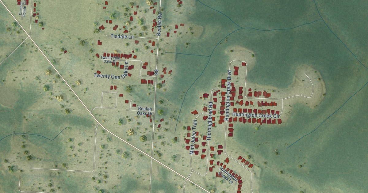
A detailed map of Colonial Heights, Tennessee, showing every building in its true location, the roads by name, and shaded topographical relief.

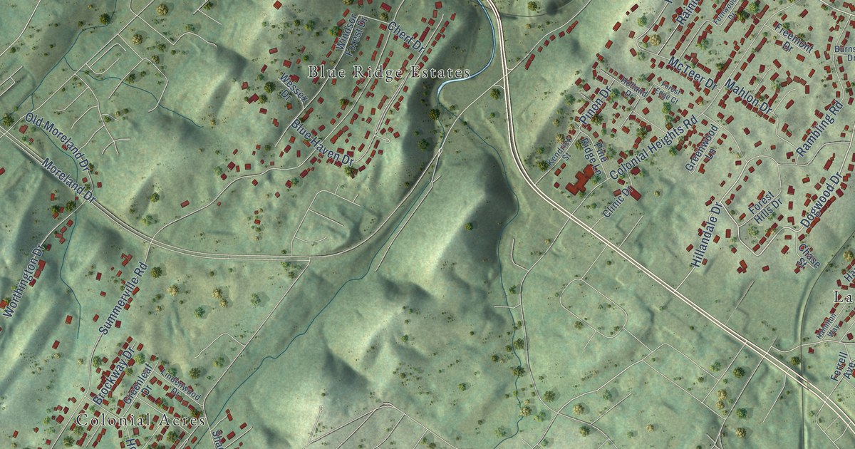
A detailed map of Colonial Heights, Tennessee, showing every building in its true location, the roads by name, and shaded topographical relief.
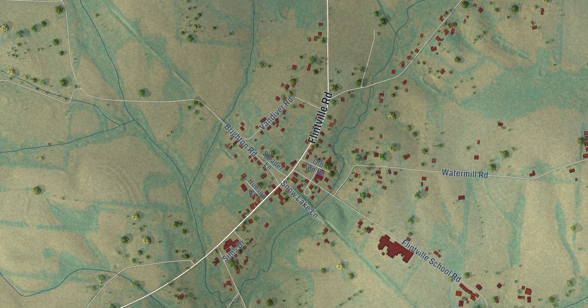
A detailed map of Flintville, Tennessee, showing every building in its true location, the roads by name, and shaded topographical relief.
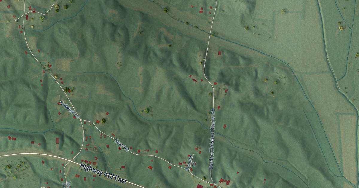
A detailed map of Darden, Tennessee, showing every building in its true location, the roads by name, and shaded topographical relief.
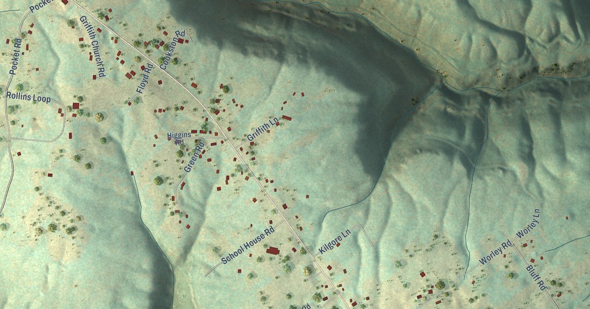
A detailed map of Griffith Creek, Tennessee, showing every building in its true location, the roads by name, and shaded topographical relief.
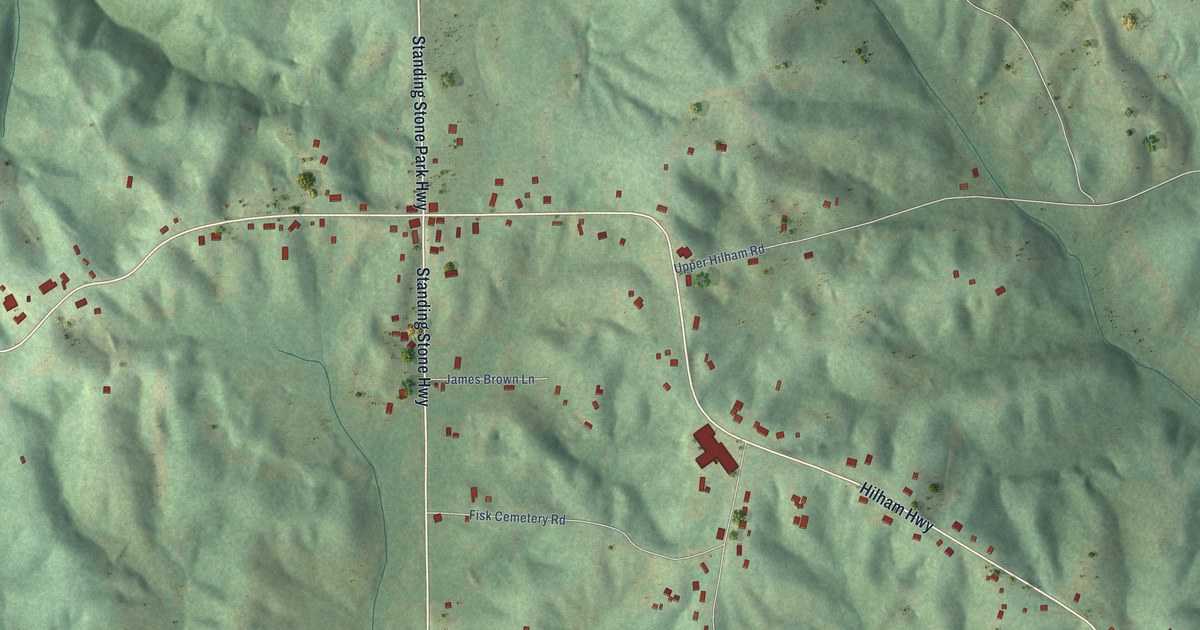
A detailed map of Hilham, Tennessee, showing every building in its true location, the roads by name, and shaded topographical relief.
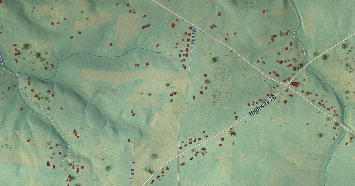
A detailed map of Walnut Grove, Tennessee, showing every building in its true location, the roads by name, and shaded topographical relief.
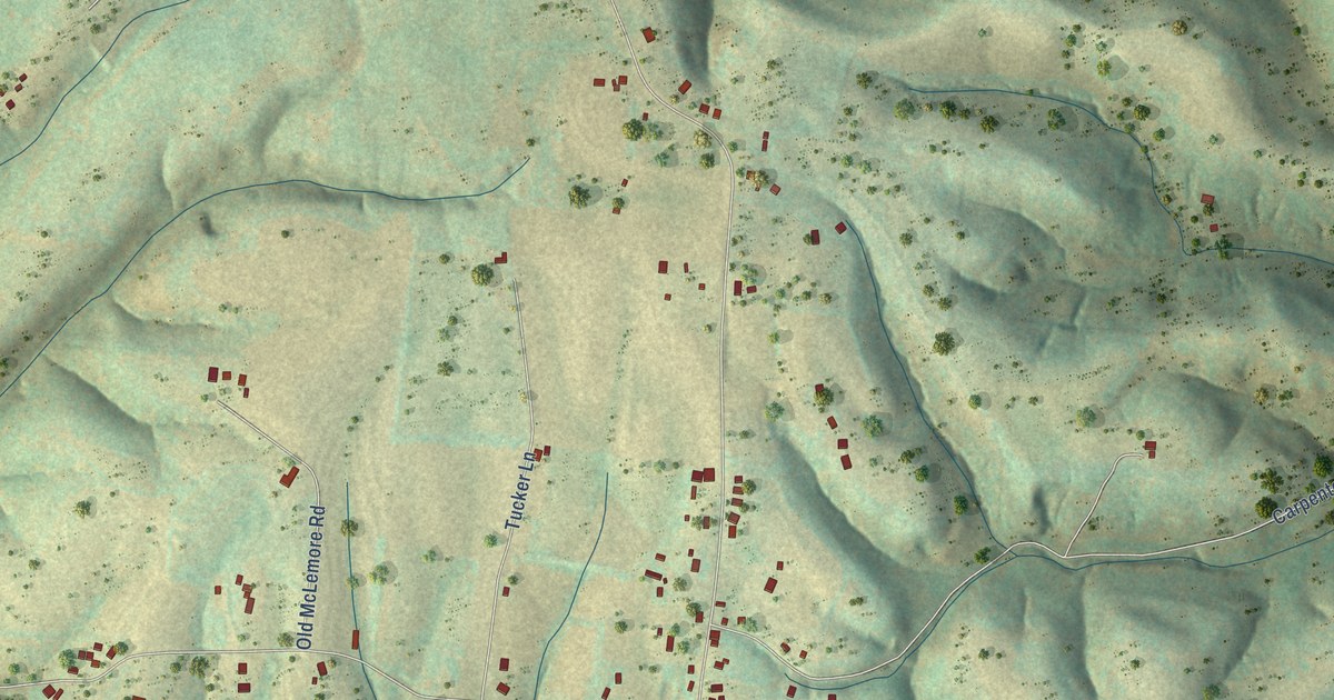
A detailed map of Blanche, Tennessee, showing every building in its true location, the roads by name, and shaded topographical relief.
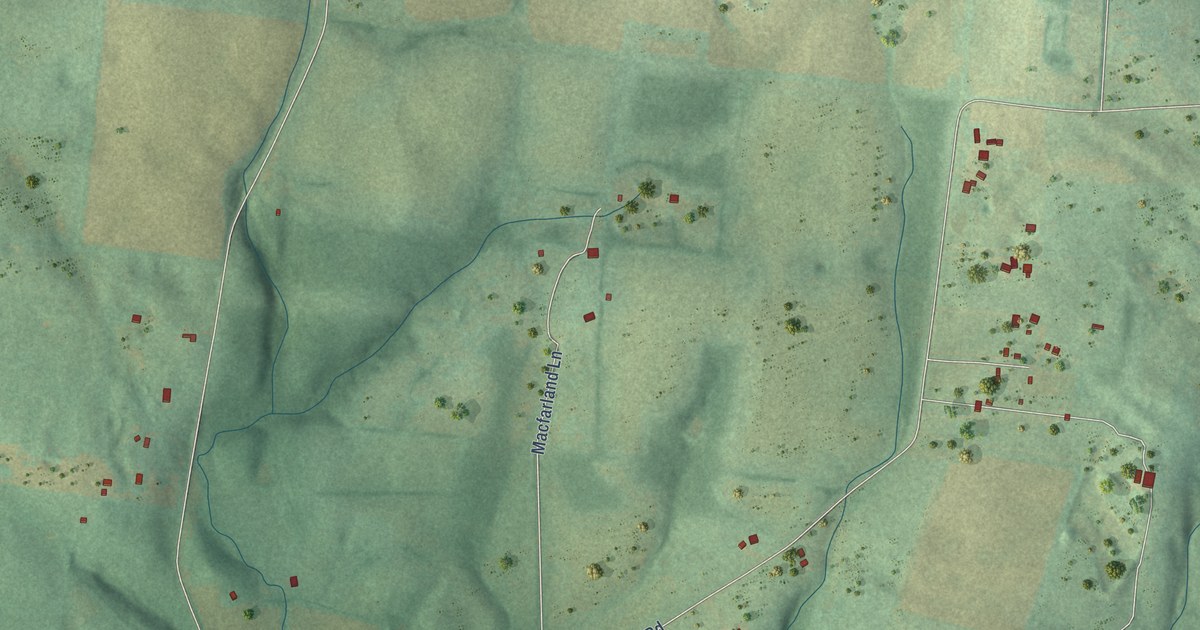
A detailed map of Castalian Springs, Tennessee, showing every building in its true location, the roads by name, and shaded topographical relief.
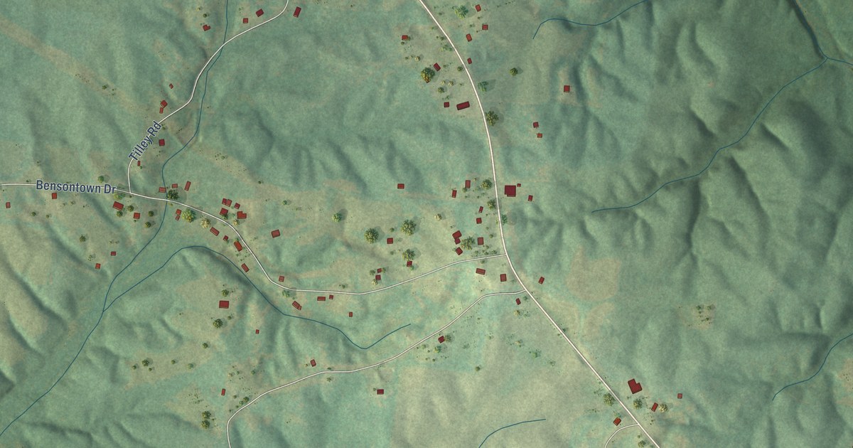
A detailed map of Walnut Grove, Tennessee, showing every building in its true location, the roads by name, and shaded topographical relief.
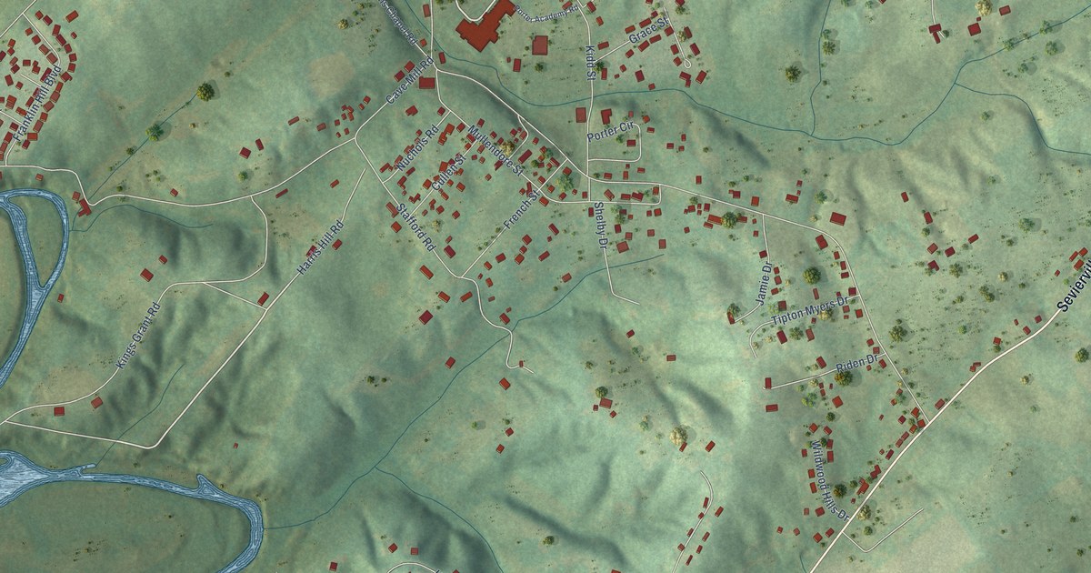
A detailed map of Wildwood, Tennessee, showing every building in its true location, the roads by name, and shaded topographical relief.
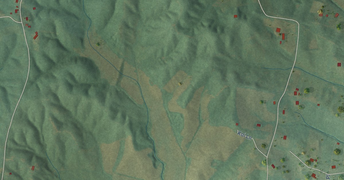
A detailed map of Chesterfield, Tennessee, showing every building in its true location, the roads by name, and shaded topographical relief.
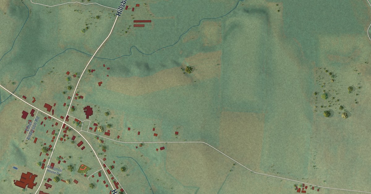
A detailed map of Hillsboro, Tennessee, showing every building in its true location, the roads by name, and shaded topographical relief.