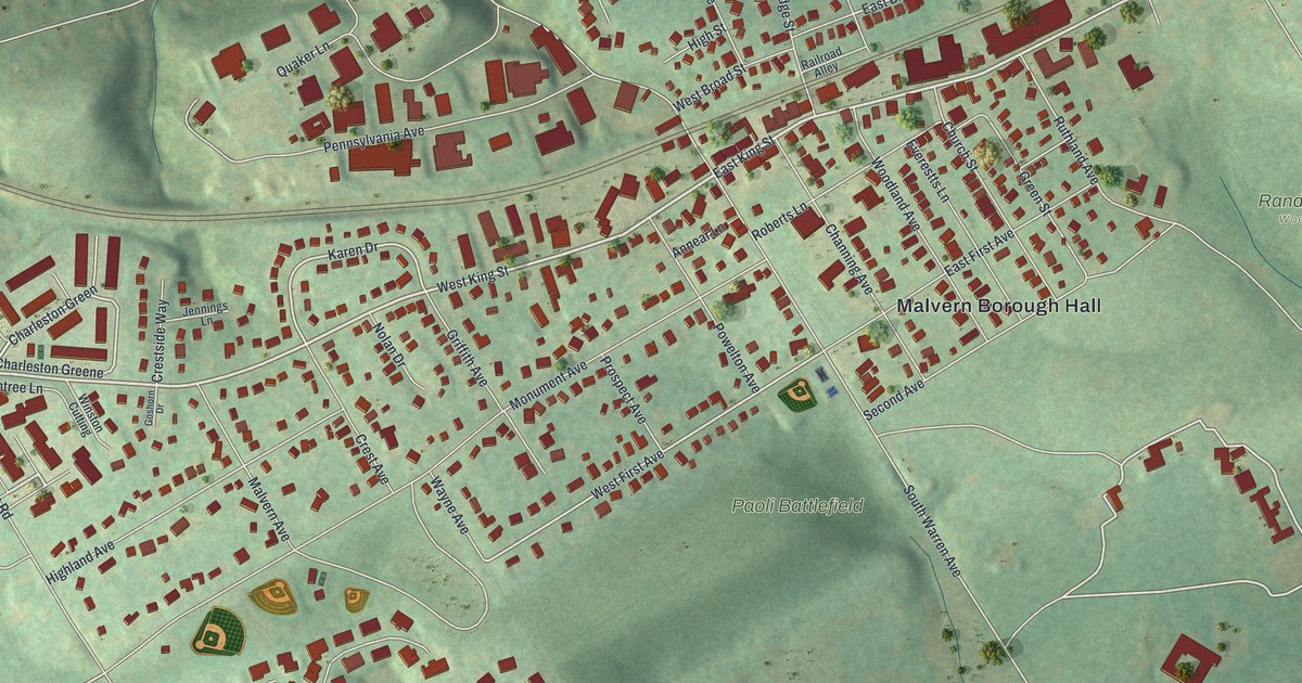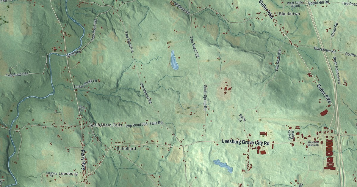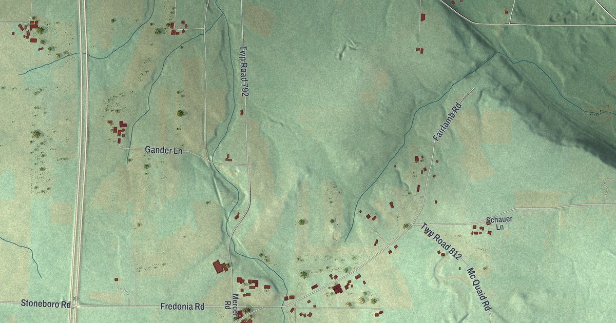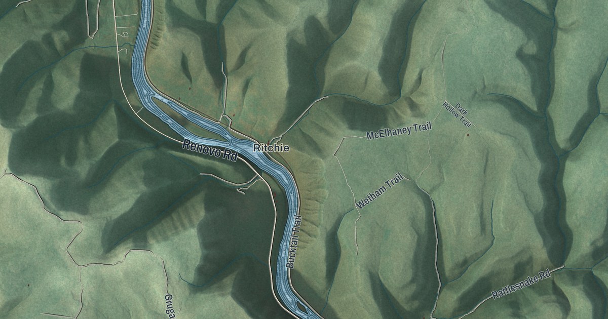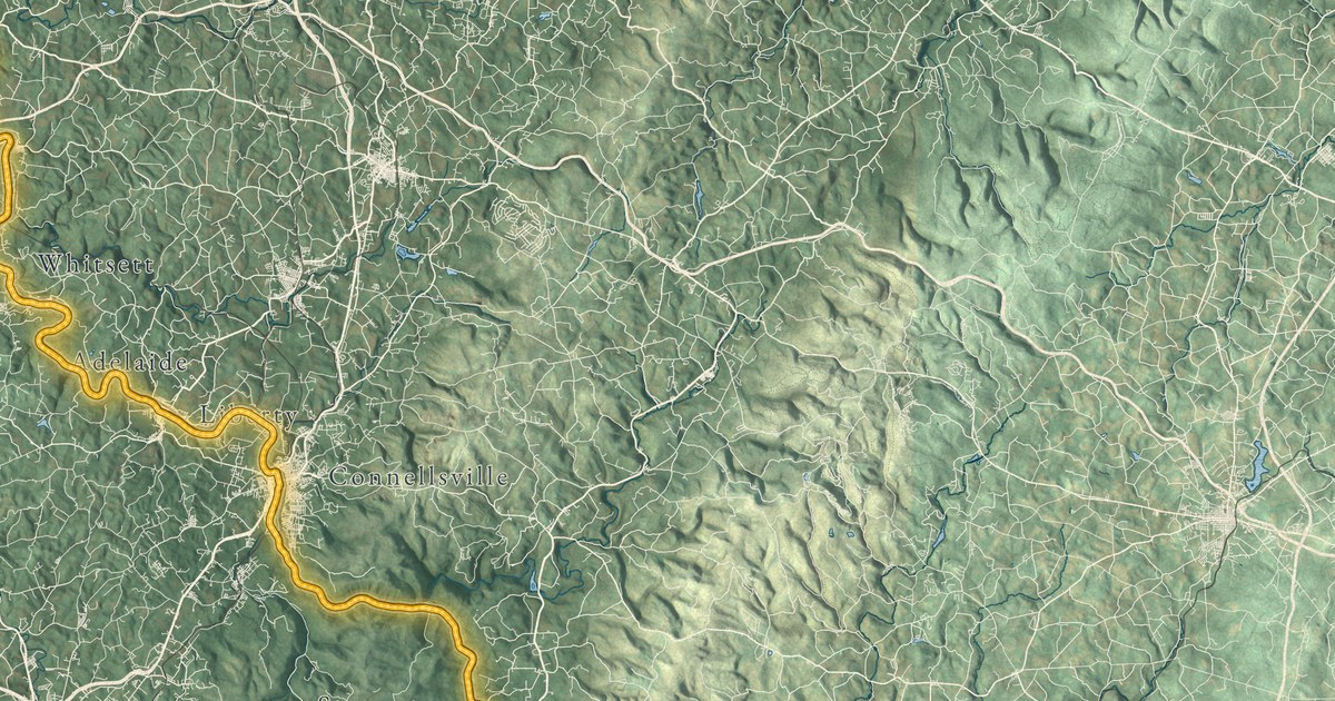
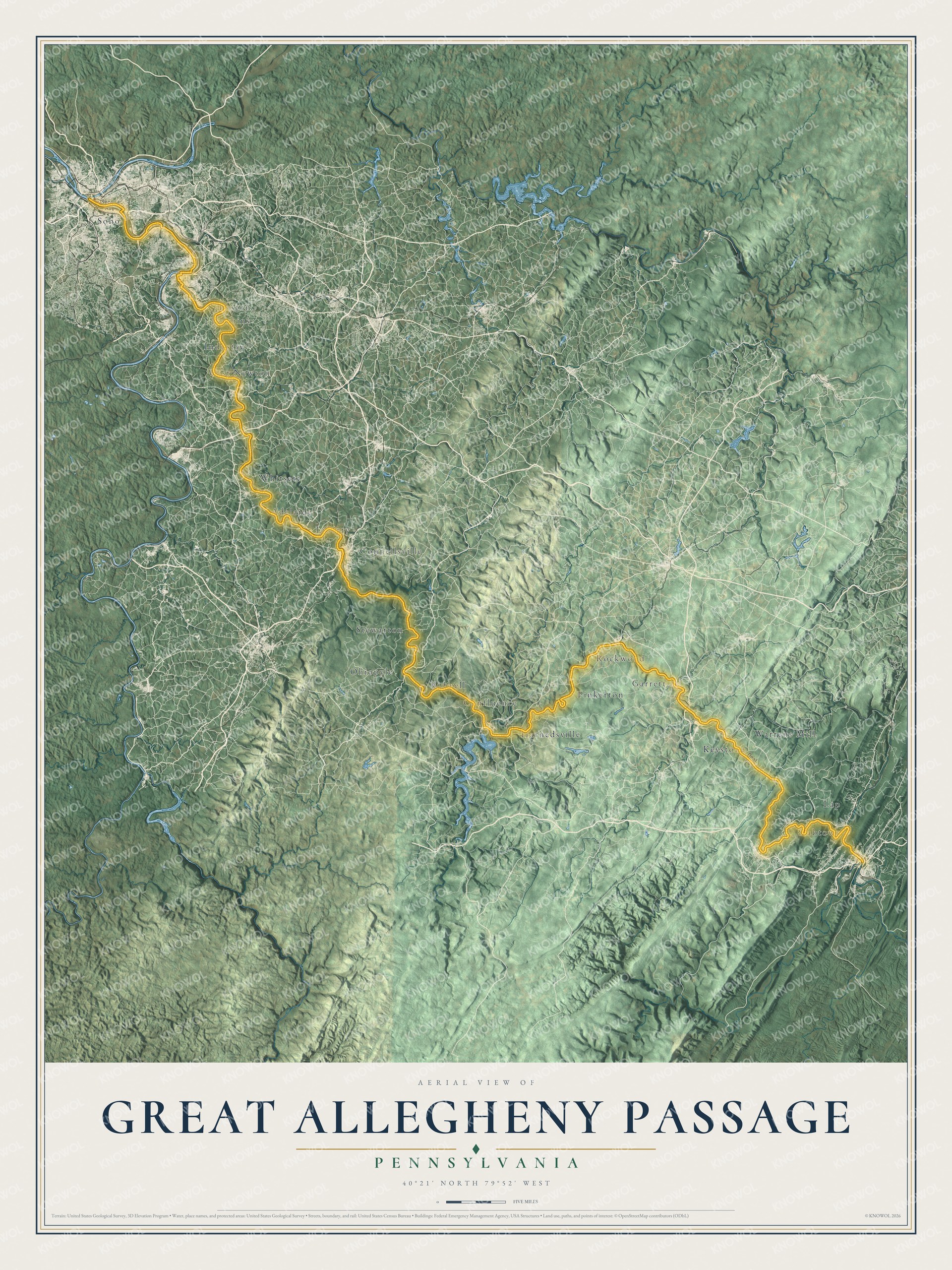
This detailed map of the Great Allegheny Passage was created in 2026 using aerial imagery combined with modern topographical, census, and street data. The entire path is highlighted with a golden hue so you can trace the 150 miles of the trail from Cumberland, Maryland all the way to Pittsburgh, Pennsylvania. The shaded topographic relief highlights the beauty of the mountains and valleys you experience along the way.
Explore an aerial view of the GAP trail
On the map you’ll find Garrett, Rockwood, Harnedsville, Confluence, Ohiopyle, Connellsville, West Newton, Boston, Pinkerton, Keystone, and more, along with River Road, River Drive and Glade City Road. Every place you would see on your Pittsburgh to DC bike ride. Zoom in on the preview to find the towns where you stopped for the night.
Did You Know?
From the Great Allegheny Passage Conservancy: “It was in 1978 that the Western Pennsylvania Conservancy handed the deed for 26.75 miles of the Western Maryland Railway’s abandoned corridor to the Pennsylvania Bureau of State Parks, and the first section of what would become the Great Allegheny Passage was laid down between Ohiopyle and Confluence.”
Volunteers in the small towns along the way kept adding miles for the next 35 years, turning old railroad bridges and tunnels into trail, and the passage was completed in 2013. It crosses the Mason and Dixon Line, tops the Eastern Continental Divide at 2,392 feet, and then follows the Casselman, Youghiogheny and Monongahela rivers down to Point State Park in Pittsburgh. In Cumberland it meets the C&O Canal towpath, so you can ride all the way to Washington, D.C.
Take a closer look at the Great Allegheny Passage map
Names on this map
These names are printed on this map.
Places: Ohiopyle, Connellsville, Confluence, West Newton, Rockwood, Boston, Garrett, Pinkerton, Whitsett, Stewarton, Slabtown, Industry, Lap, Bidwell, Liberty, Warrens Mill, Adelaide, Robbins, Harnedsville, Keystone and Soho.
Streets and roads: River Road, Deal Road, Second Avenue, Ramcat Road, River Drive, Platter Street and Glade City Road.
See it on a wall
The Great Allegheny Passage map as a framed print. Swipe for more.


This beautifully detailed map of the Great Allegheny Passage makes an attractive addition to your office, library, or den. It also makes a great gift for anyone who has ridden the passage, or who’s planning the trip. When you’re done exploring, click here to get your copy of the Great Allegheny Passage map.