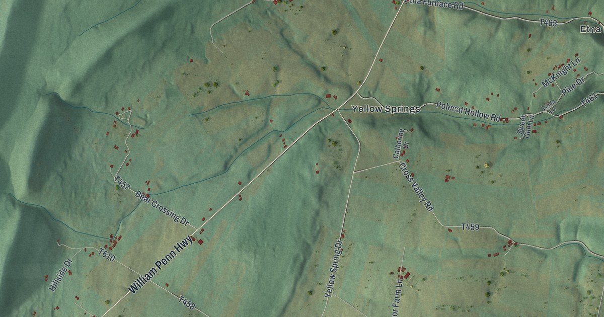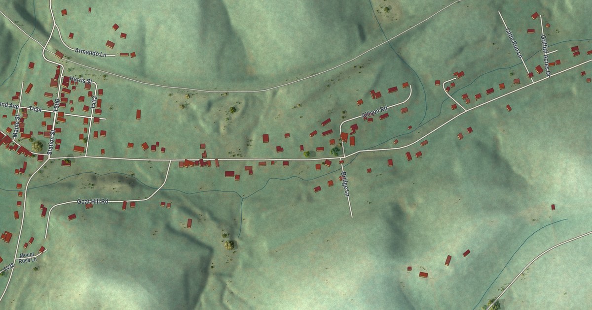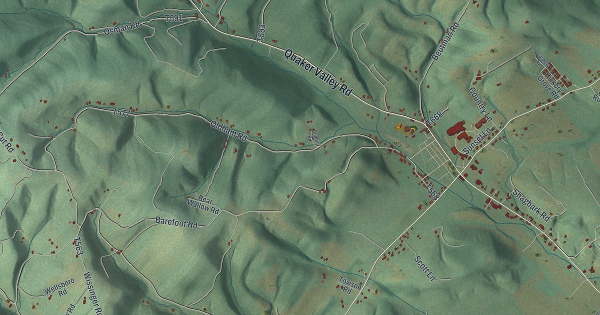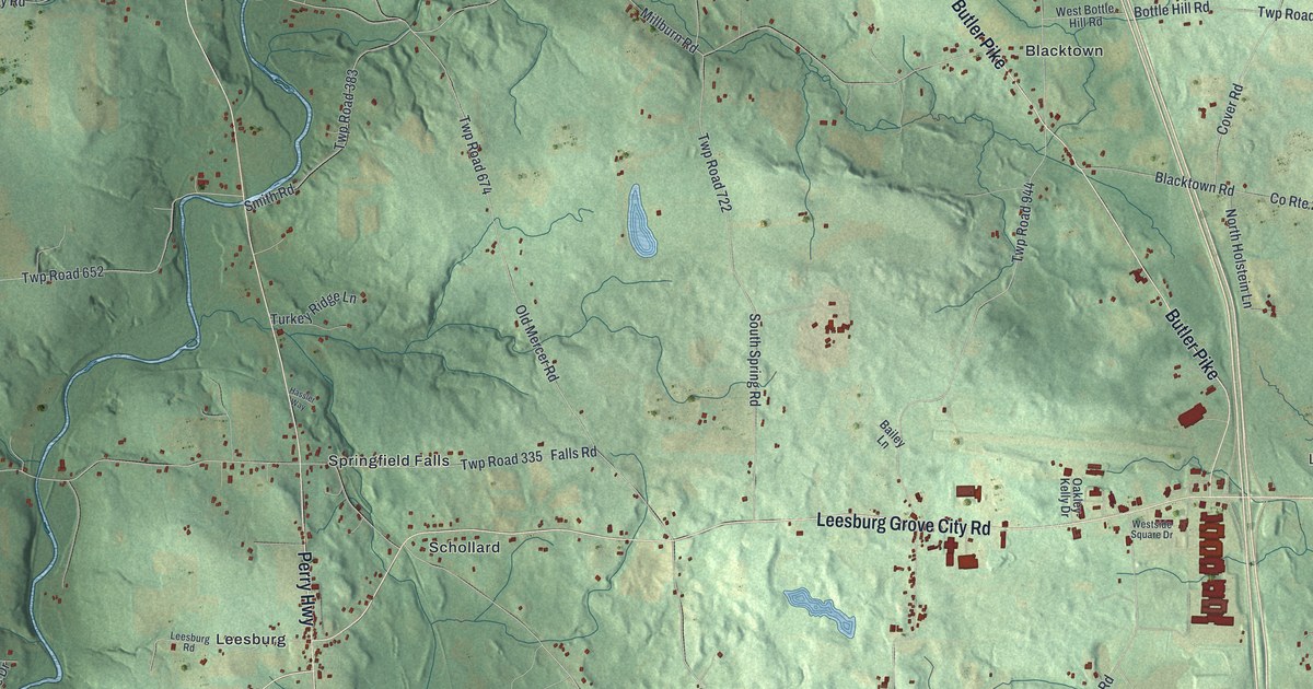
This beautifully detailed map of Springfield, Mercer County, Pennsylvania was created in 2026 using aerial imagery combined with modern topographical, census, street and landmark data. It’s a one-of-a-kind view of Springfield that combines accurate data with a vintage aesthetic. The map shows every building in its true location, many of the roads carry their names, and the shaded topographic relief shows the shape of the land.
Explore an aerial view of Springfield, Mercer County, Pennsylvania
On the map you’ll find London, Leesburg Station, State Game Lands Number 284, Blacktown, Brent, Drake, Leesburg, Millburn, Schollard, and Springfield Falls, along with Leesburg Grove City Road, Perry Highway, and more. If you look closely you can even find your house accurately drawn in its correct location. Zoom in on the preview to look for yours.
Did you know this piece of Springfield, Mercer County, Pennsylvania history?
From the Pennsylvania Historical and Museum Commission: "Kept by Arthur Johnston; licensed in 1827. Present building erected in 1831. Served travelers on the Pittsburgh-Mercer road, and stood conveniently near Springfield Furnace, in operation after 1837."
Take a closer look at the Springfield, Mercer County map
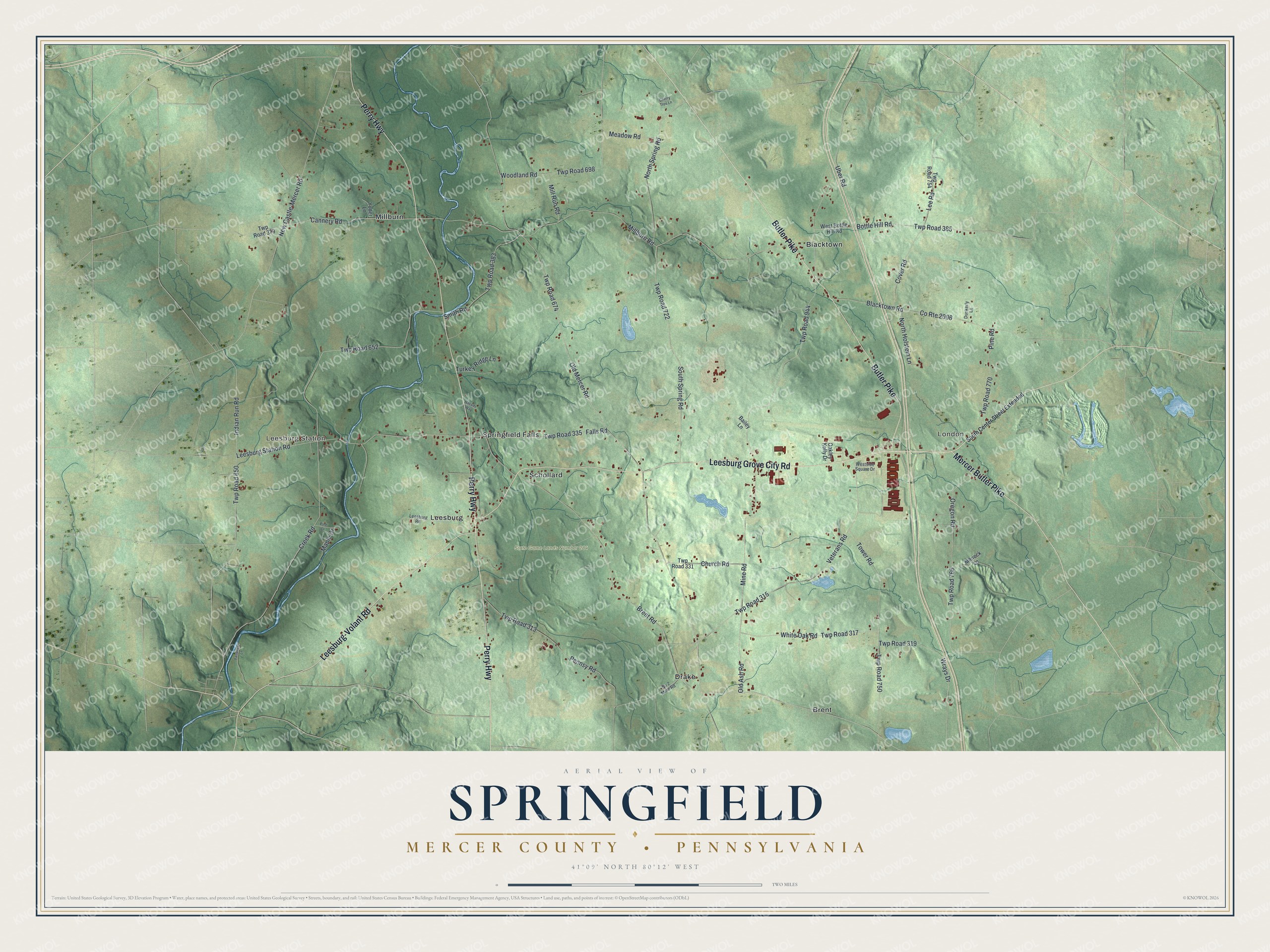
Street and place names on the Springfield, Mercer County, Pennsylvania map
These names are printed on the map of Springfield, Mercer County, Pennsylvania.
Places: London, Leesburg Station, State Game Lands Number 284, Blacktown, Brent, Drake, Leesburg, Millburn, Schollard and Springfield Falls.
Streets and roads: Leesburg Grove City Road, Perry Highway, Butler Pike, Leesburg-Volant Road, Mercer Butler Pike, Twp Road 652, Indian Run Road, Brent Road, Old Mercer Road, Mine Road, Twp Road 674, Old Ash Road.
More street names, A to Z
Bailey Lane, Blacktown Road, Bottle Hill Road, Cannery Road, Cherry Tree Lane, Church Road, County Route 2006, Cover Road, Creek Road, Dunkerly Lane, Falls Road, Fassinger Lane, Hassler Way, Lee Road, Leesburg Road, Leesburg Station Road, Maple Drive, Meadow Road, Millburn Road, Mill Run Road, Moneck Lane, New Castle-Mercer Road, No 2 Mine Road, North Holstein Lane, North Spring Road, Oakley- Kelly Drive, Oregon Road, Pennsy Road, Pine Drive, Pine Road, Smith Road, South Center Street Extended, South Spring Road, Tower Road, Turkey Ridge Lane, Twp Road 313, Twp Road 315, Twp Road 317, Twp Road 319, Twp Road 331, Twp Road 335, Twp Road 379, Twp Road 383, Twp Road 385, Twp Road 650, Twp Road 698, Twp Road 722, Twp Road 750, Twp Road 754, Twp Road 766, Twp Road 770, Twp Road 944, Uber Road, Veterans Road, West Bottle Hill Road, Westside Square Drive, White Oak Road, Woodland Road, Wrays Drive, Yoder Lane.
See the Springfield, Mercer County, Pennsylvania map on a wall
The Springfield, Mercer County map as an 18 x 24 inch print in a black frame.

This beautifully detailed map of Springfield, Mercer County makes an attractive addition to your office, library, or den, and it can even be used to teach children the geography and history of the area. It also makes a great gift for anyone with Springfield roots. When you’re done exploring, click here to get your copy of the Springfield, Mercer County map.