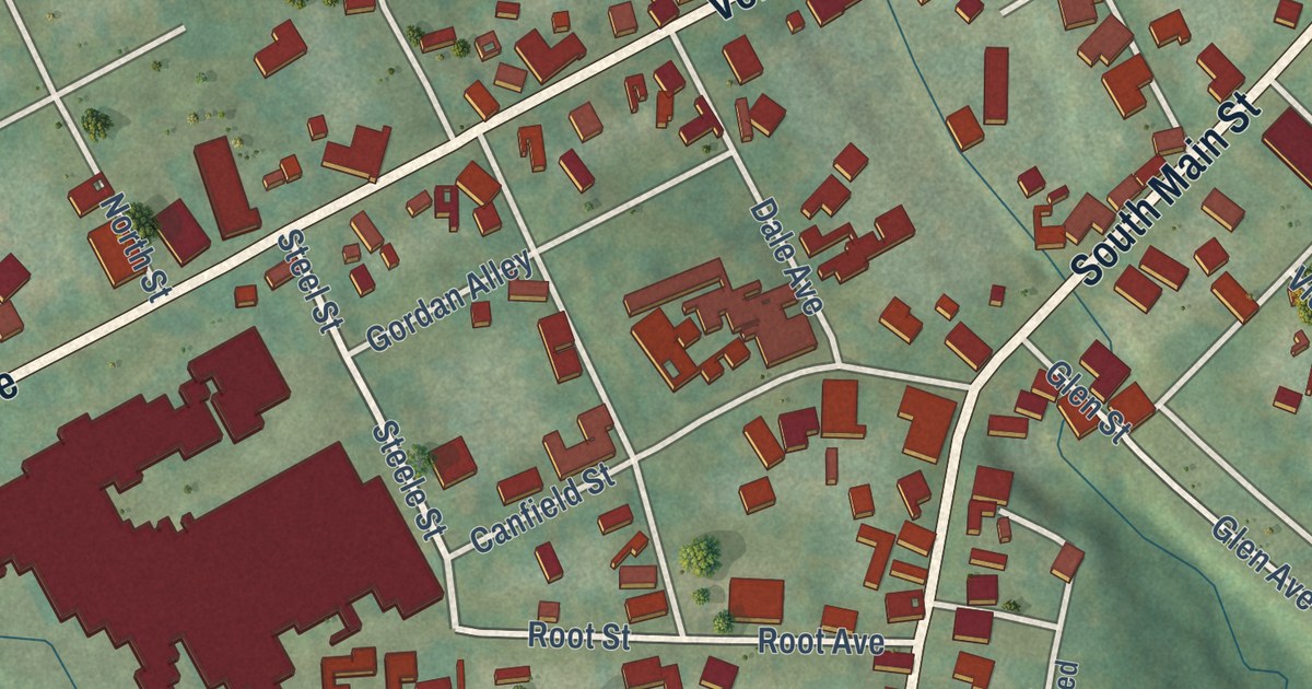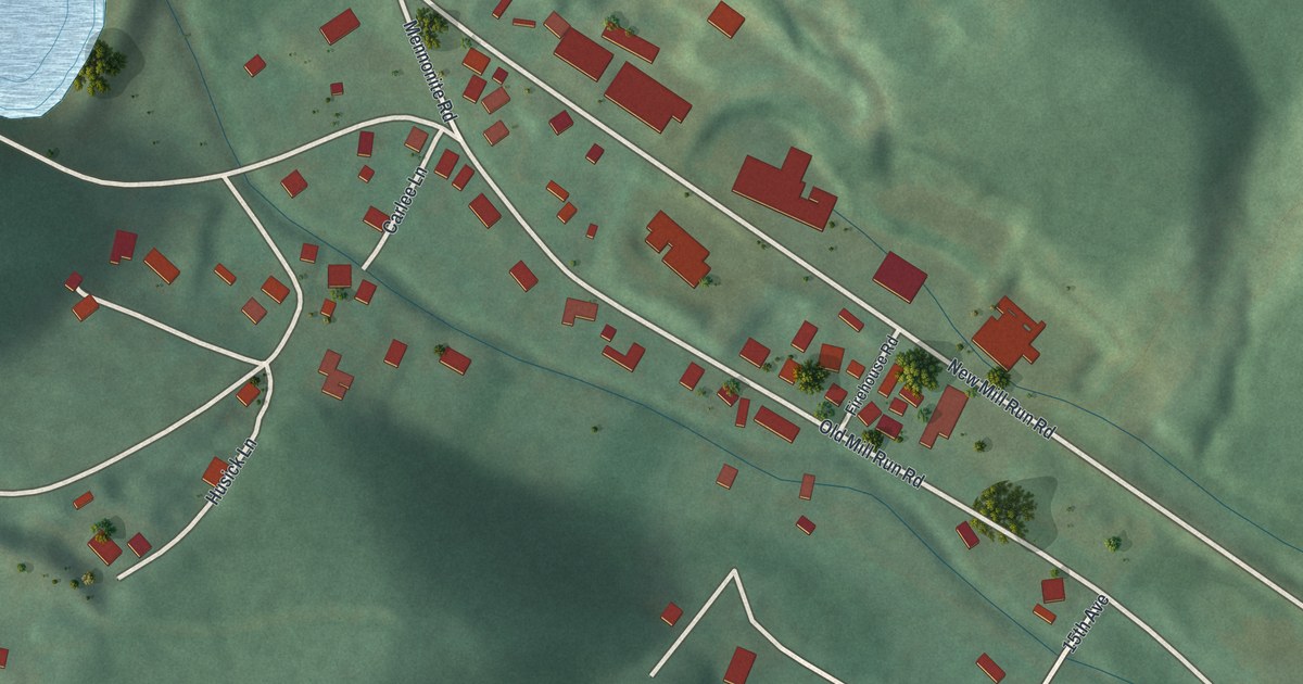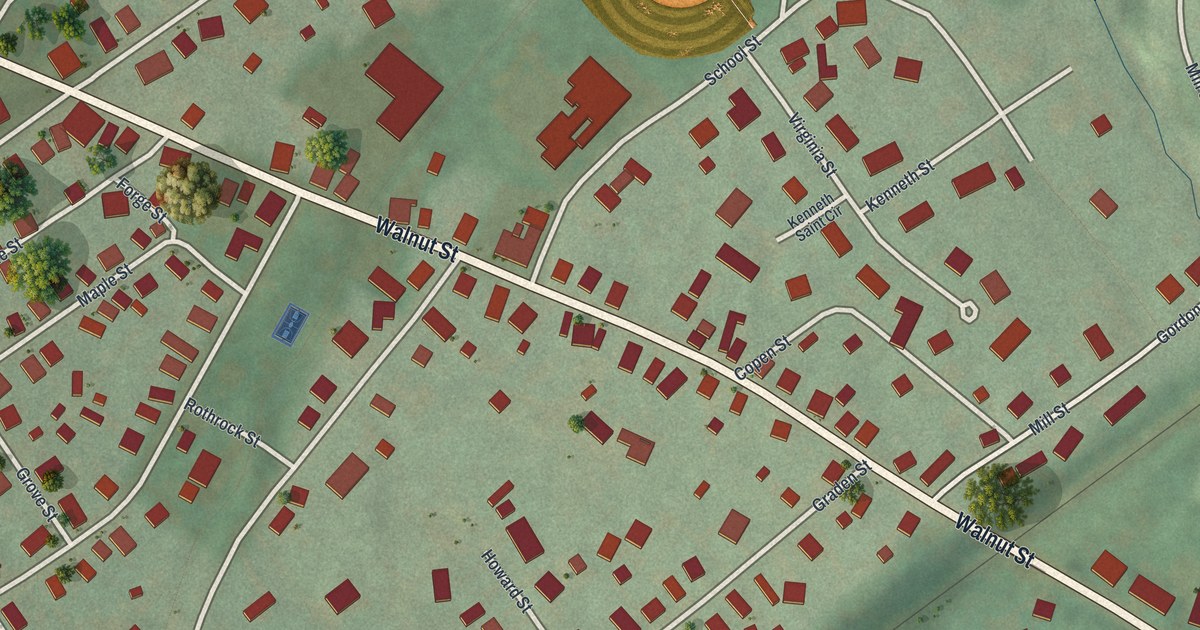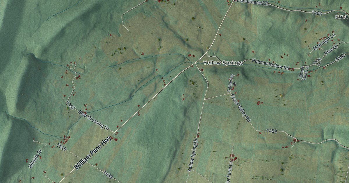
This beautifully detailed map of Catharine, Pennsylvania was created in 2026 using aerial imagery combined with modern topographical, census, street and landmark data. It’s a one-of-a-kind view of Catharine that combines accurate data with a vintage aesthetic. The map shows every building in its true location, many of the roads carry their names, and the shaded topographic relief shows the shape of the land.
Explore an aerial view of Catharine, Pennsylvania
On the map you’ll find State Game Lands Number 166, Blairfour, Carlim, Etna Furnace, Ganister, Mount Etna, Point View, Robeson Extension, Saint Clair, Springfield Junction, Williamsburg, Yellow Springs, and more. If you look closely you can even find your house accurately drawn in its correct location. Zoom in on the preview to look for yours.
Did you know this piece of Catharine, Pennsylvania history?
Blair County had rich iron ore, limestone and timber, yet no one made iron there before 1800. The first iron works in the county was Etna furnace and forge in Catharine Township, near the Juniata. Canan, Stewart and Moore built it in 1805 and 1806. That’s from the 1911 History of Altoona and Blair County.
Take a closer look at the Catharine map
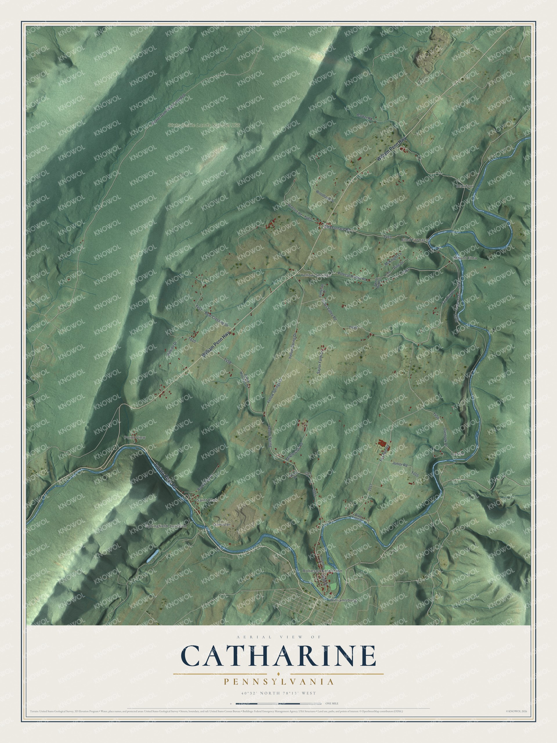
Street and place names on the Catharine, Pennsylvania map
These names are printed on the map of Catharine, Pennsylvania.
Places: State Game Lands Number 166, Blairfour, Carlim, Etna Furnace, Ganister, Mount Etna, Point View, Robeson Extension, Saint Clair, Springfield Junction, Williamsburg and Yellow Springs.
Streets and roads: Juniata River Road, William Penn Highway, Lower Trail, Yellow Springs Drive, Fox Run Road, Bear Crossing Drive, Junior Road, Beaver Dam Road Extended, Polecat Hollow Road, Yellow Spring Drive, Cross Valley Road, Etna Furnace Road.
More street names, A to Z
Barker Road, Beagle Club Road, Canoe Mountain Drive, Catherine Drive, Circle Drive, Fox Run Drive, Hemlock Road, High Street, Hillside Drive, Linda Lane, Lower Trail Road, McKnight Lane, Norris Lane, Overlook Drive, Pine Drive, Recreational Drive, River Front Drive, Rocky Top Drive, Saylor Farm Lane, Sweet Gum Lane, Woodland Drive, Yellow Spring.
See the Catharine, Pennsylvania map on a wall
The Catharine map as an 18 x 24 inch print in a black frame.

This beautifully detailed map of Catharine makes an attractive addition to your office, library, or den, and it can even be used to teach children the geography and history of the area. It also makes a great gift for anyone with Catharine roots. When you’re done exploring, click here to get your copy of the Catharine map.