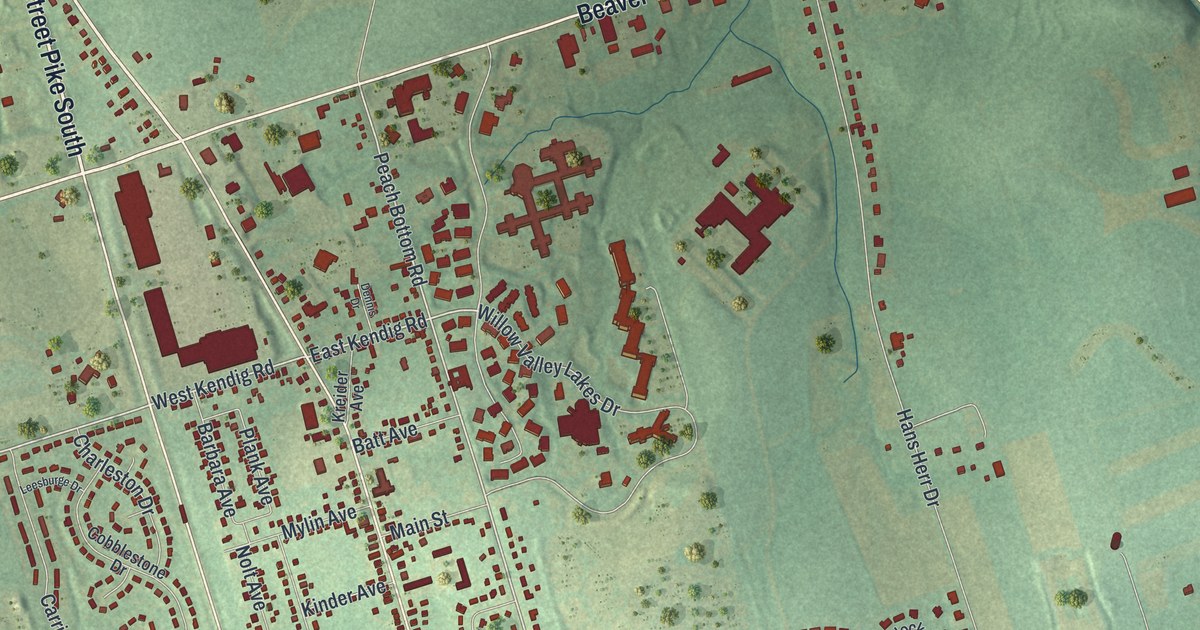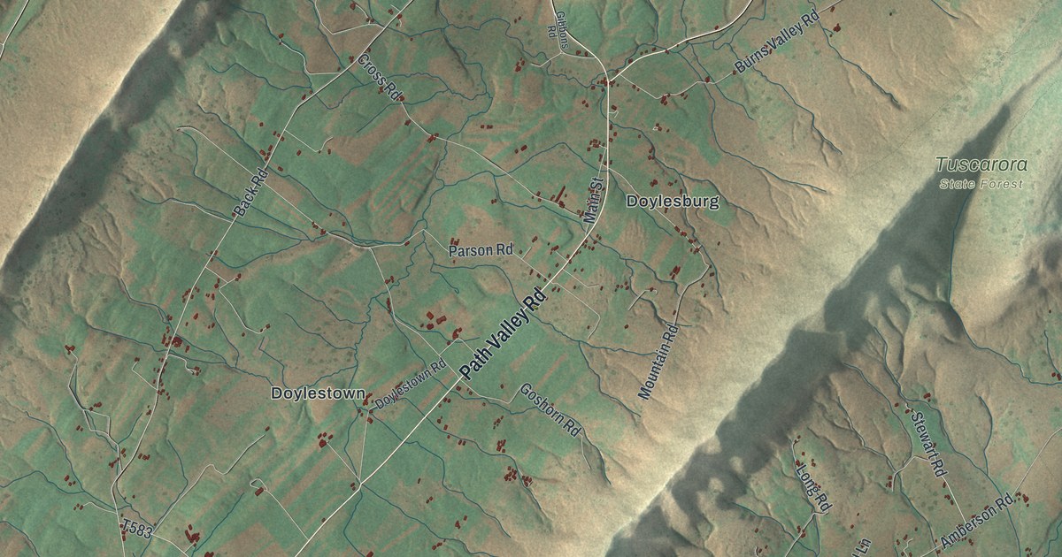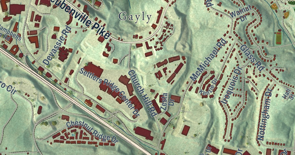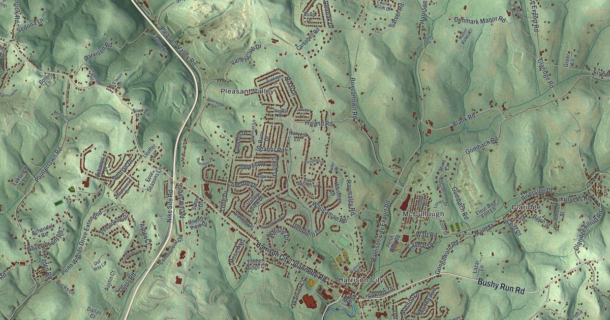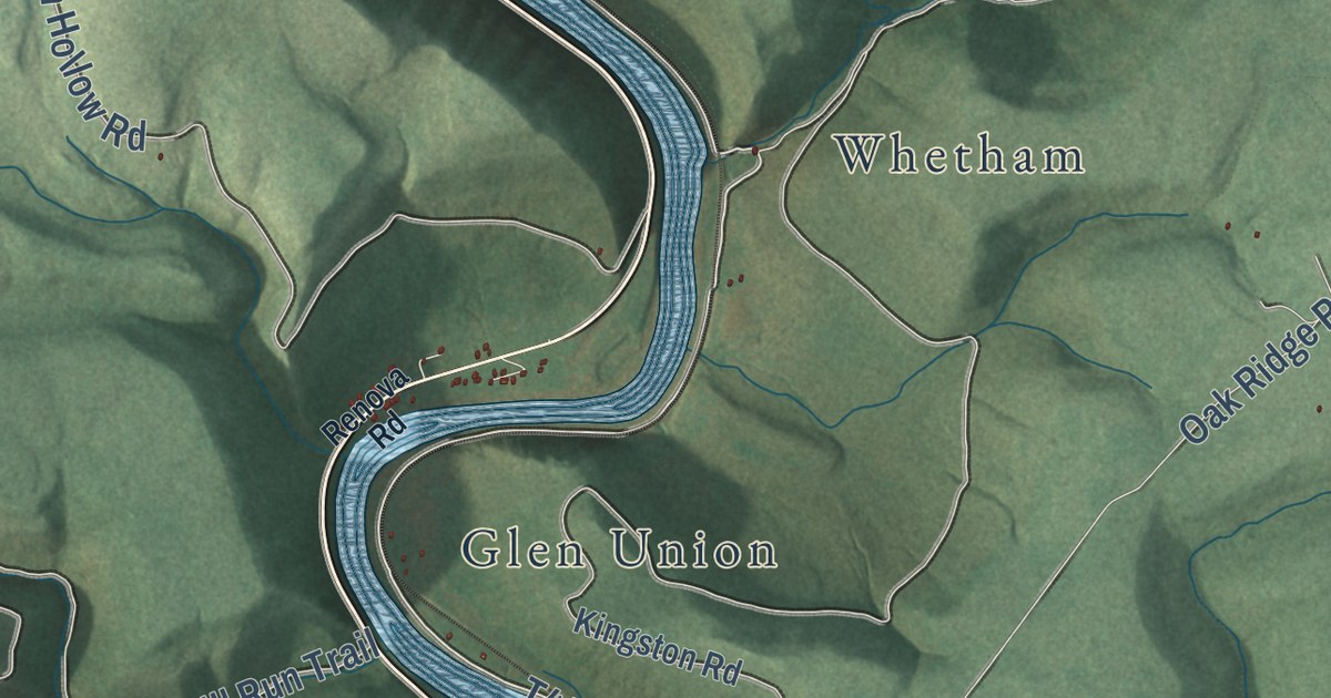
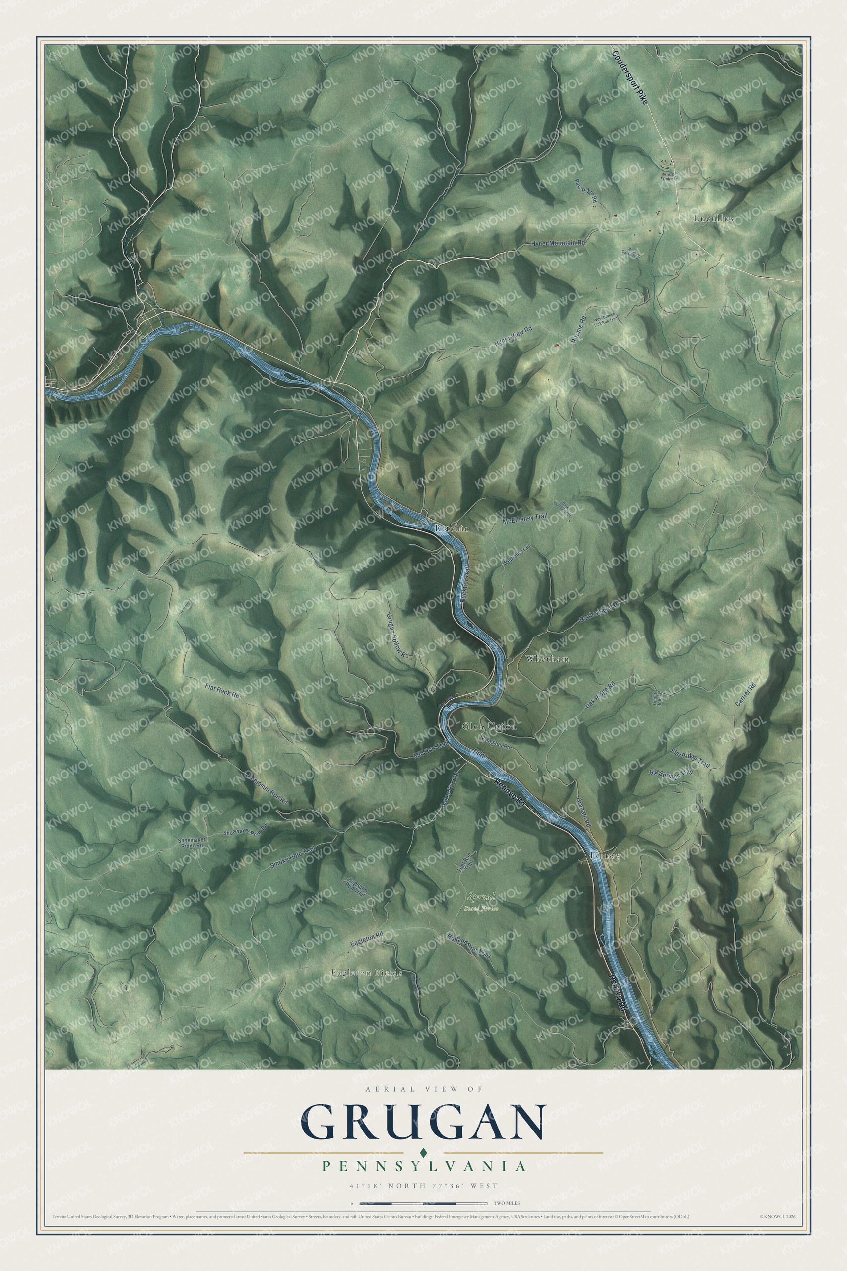
This beautifully detailed map of Grugan, Pennsylvania was created in 2026 using aerial imagery combined with modern topographical, census, street and landmark data. It’s a one-of-a-kind view of Grugan that combines accurate data with a vintage aesthetic. The map shows every building in its true location, many of the roads carry their names, and the shaded topographic relief shows the shape of the land.
Explore an aerial view of Grugan, Pennsylvania
On the map you’ll find Eagleton Fields, Sproul State Forest, Ferney, Glen Union, Lucullus, Ritchie, and Whetham, along with Renovo Road, Coudersport Pike, Flat Rock Road, Grugan Hollow Road, and more. If you look closely you can even find your house accurately drawn in its correct location. Zoom in on the preview to look for yours.
Did you know this piece of Grugan, Pennsylvania history?
Grugan Township carries the name of the family of Charles Grogan. He was an Irish immigrant from Lancaster County who fought in the Revolutionary War. He froze to death in the winter of 1790 to 1791. His sons James and Alexander, who spelled the name Grugan, raised large families here.
Take a closer look at the Grugan map
Street and place names on the Grugan, Pennsylvania map
These names are printed on the map of Grugan, Pennsylvania.
Places: Eagleton Fields, Sproul State Forest, Lucullus, Ritchie, Glen Union, Whetham and Ferney.
Streets and roads: Renovo Road, Coudersport Pike, Flat Rock Road, Grugan Hollow Road, Eagleton Road, Mill Run Trail, Oak Ridge Road, Baker Run Road, Benjamin Run Road, Hyner Mountain Road, Ritchie Road, Smoke Hole Trail.
More street names, A to Z
Big Springs Trail, Boiler Maker Trail, Bucktail Trail, Carrier Road, Dark Hollow Trail, Donut Hole Lane, Eagleton Run Trail, Flat Ridge Trail, Graham Road, Holland Run Trail, Hyner View Road, Kingston Road, Log Cabin Lane, McElhaney Trail, Pats Ridge Road, Rattlesnake Road, Renova Road, Ross Camp Trail, Shoemaker Point Road, Shoemaker Ridge Road, Teat Run Trail, West Branch Lick Run Trail, Wetham Trail.
See the Grugan, Pennsylvania map on a wall
The Grugan map as an 18 x 24 inch print in a black frame.

This beautifully detailed map of Grugan makes an attractive addition to your office, library, or den, and it can even be used to teach children the geography and history of the area. It also makes a great gift for anyone who grew up in Grugan or moved away. When you’re done exploring, click here to get your copy of the Grugan map.