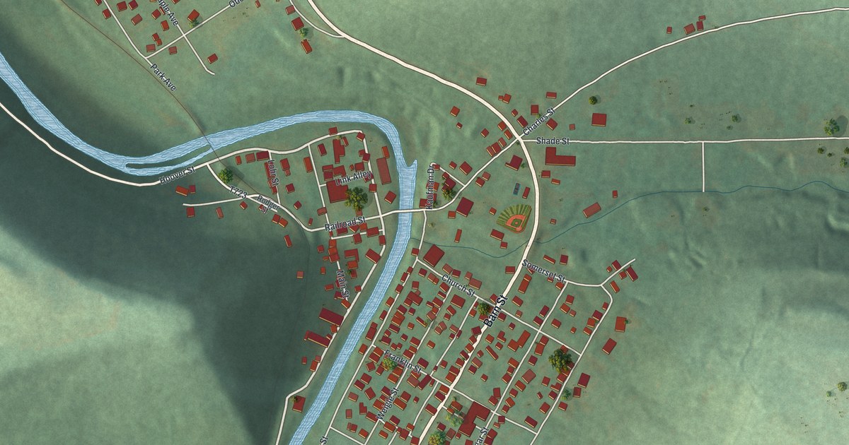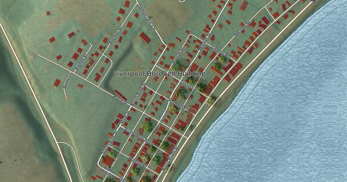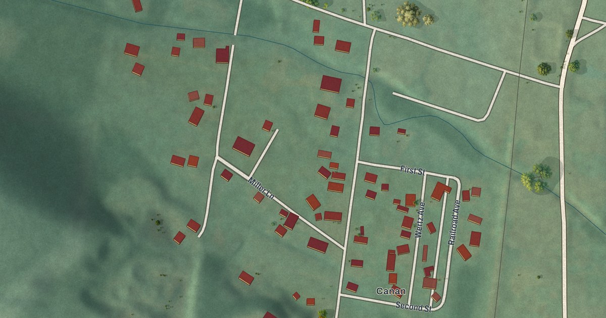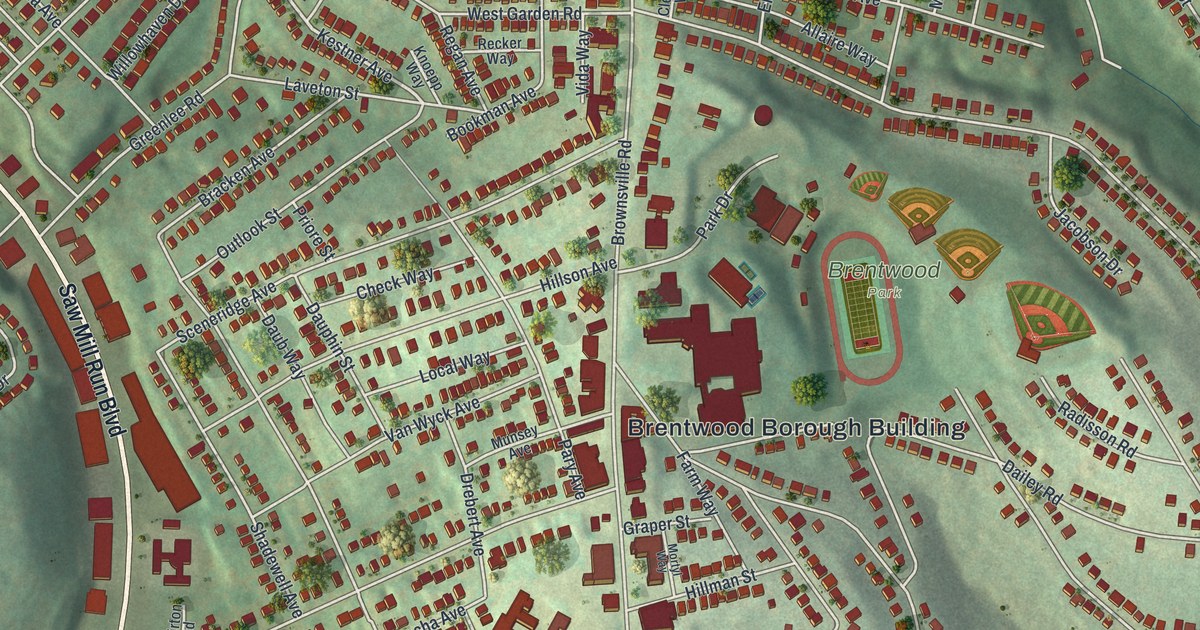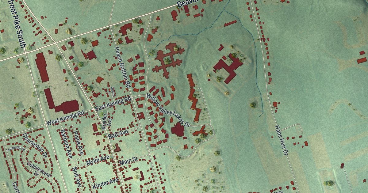
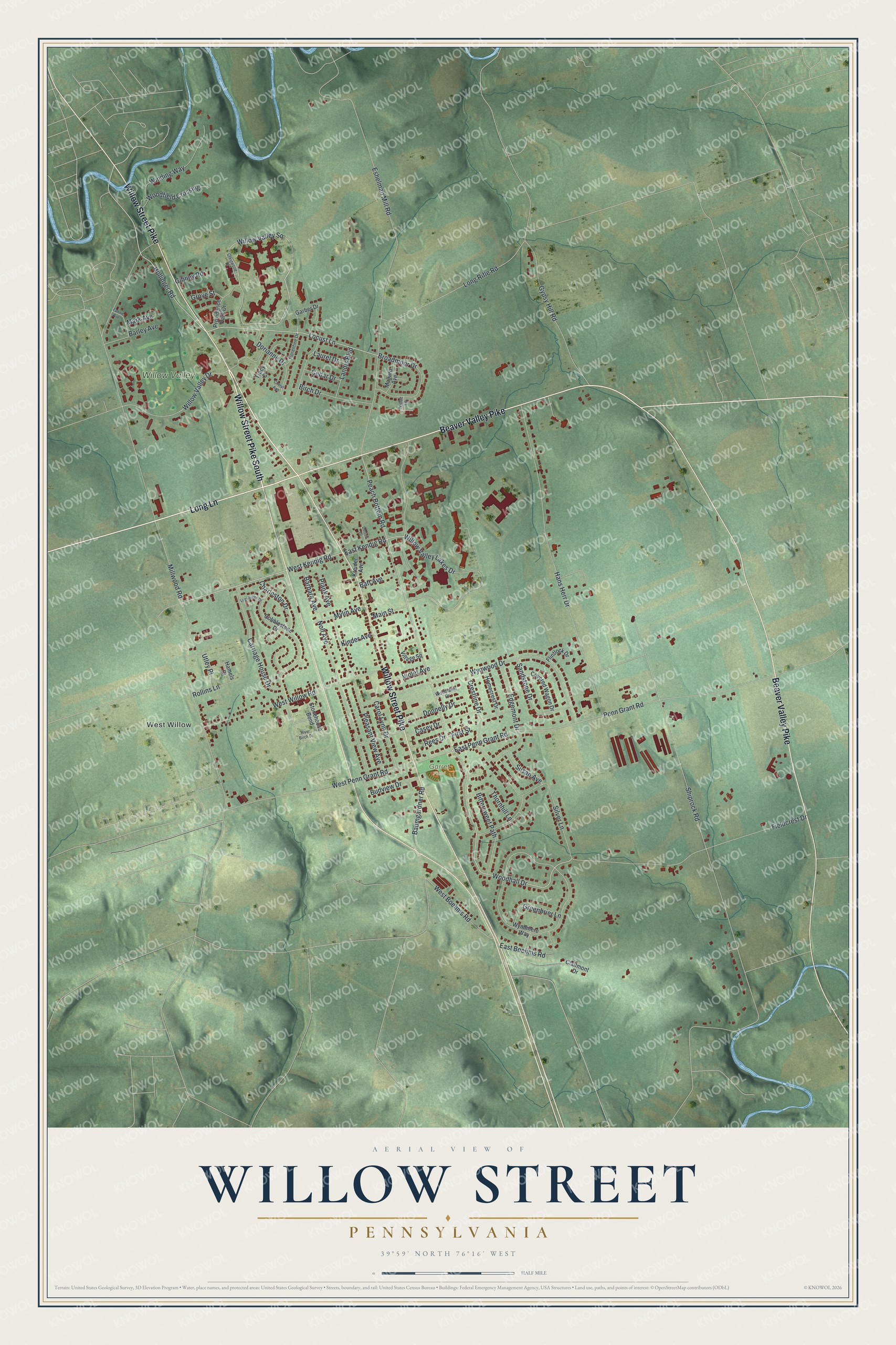
This beautifully detailed map of Willow Street, Pennsylvania was created in 2026 using aerial imagery combined with modern topographical, census, street and landmark data. It's a modern aerial view of Willow Street in Lancaster County, Pennsylvania, that combines modern data with a vintage aesthetic. The roads feature printed names, and if you look closely you can find your exact house accurately shown in its correct location.
Explore an aerial view of Willow Street, Pennsylvania
On this map you'll find West Willow, Garret Field, Willow Valley, Long Lane, Willow Street Pike South, Willow Street Pike, Beaver Valley Pike, Willow Valley Lakes Drive, East Kendig Road, Willow Valley Square, West Kendig Road, Peach Bottom Road, and more. Each red shape is a building, so zoom in on the preview and look for yours.
Willow Street is a community in Lancaster County. The Census Bureau counted 9,149 people here in 2020. Willow Street sits about 2 miles southwest of Lampeter, 3 miles northwest of Refton and 4 miles northeast of Conestoga. The map prints the town name in its title panel, with the coordinates below it.
Take a closer look at the Willow Street map
Names on this map
These names are printed on this map.
Places: West Willow, Garret Field and Willow Valley.
Streets and roads: Long Lane, Willow Street Pike South, Willow Street Pike, Beaver Valley Pike, Willow Valley Lakes Drive, East Kendig Road, Willow Valley Square, West Kendig Road, Peach Bottom Road, Woodhall Drive, Locust Lane, Hollinger Road.
More street names, A to Z
Barbara Avenue, Barley Avenue, Batt Avenue, Baumgardner Road, Birch Drive, Bittersweet Path, Broadmoor Drive, Budview Drive, Carol Lynn Drive, Carriage House Drive, Casey Drive, Cedar Drive, Charleston Drive, Cheryl Ann, Clairmont Drive, Cobblestone Drive, Covered Wagon Drive, Crestline Drive, Crestwood Drive, Dennis Drive, Donnelly Drive, Dorianne Drive, East Boehms Road, East Penn Grant Road, Edgemont Drive, Eshelman Mill Road, Fannie Avenue, Fieldcrest Drive, First Street, Flintlock Drive, Florentine Drive, Garber Drive, Gibney Road, Greenbrier Lane, Grove Street, Gypsy Hill Road, Hamels Court, Hans Herr Drive, Homecrest Drive, Kinder Avenue, Kreider Avenue, Landis Boulevard, Laurel Drive, Leesburge Drive, Long Rifle Road, Main Street, Mallard Avenue, Mark Avenue, Millwood Road, Mylin Avenue, Niobe Lane, Nolt Avenue, Penn Grant Road, Plank Avenue, Pleasant View Avenue, Providence Park Drive, Rees Drive, River Birch Drive, Rollins Lane, Sandstone Drive, Shiprock Road, Silver Lane, Stonehouse Bend, Susan Avenue, Thornhill Lane, Tracy Court, Utley Place, Village Square, Violet Avenue, West Boehms Road, West Penn Grant Road, West Willow Road, Willow Valley Drive, Winding Way, Woodfield Crossing, Woodlawn Drive, Wyndmere Way, Wynwood Drive.
See it on a wall
The Willow Street map as a framed print. Swipe for more.


Created by KNOWOL in 2026. The buildings are small red shapes, the roads carry their printed names, and shaded relief shows the shape of the land. The title panel reads "AERIAL VIEW OF WILLOW STREET, PENNSYLVANIA" with 39°59' NORTH 76°16' WEST.
It looks right in a kitchen, an office or a den, and it's a gift for anyone who grew up in Willow Street or moved away. Open the preview and find your street. See sizes and frames for the Willow Street map.