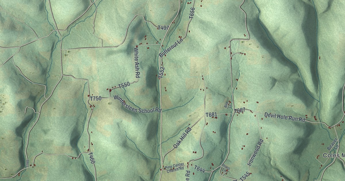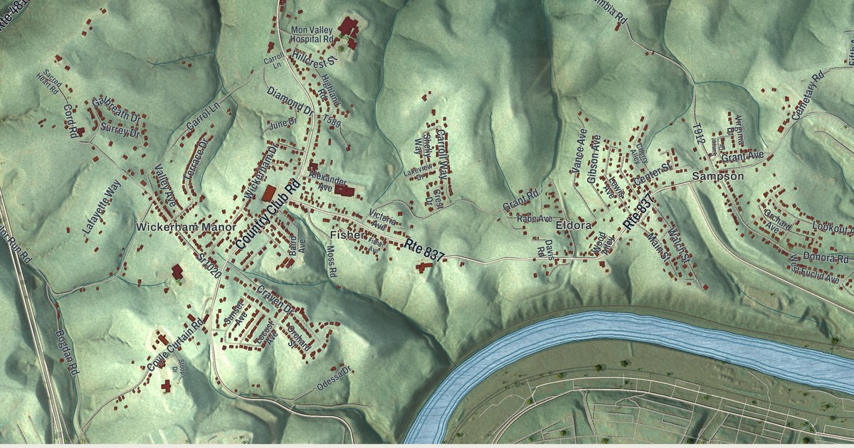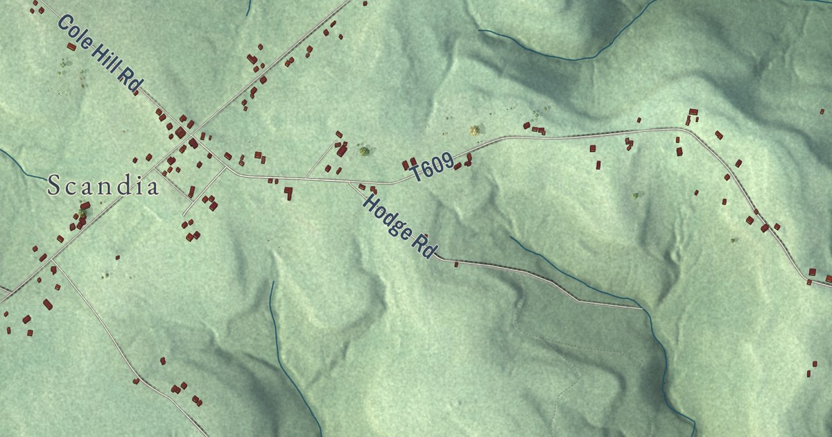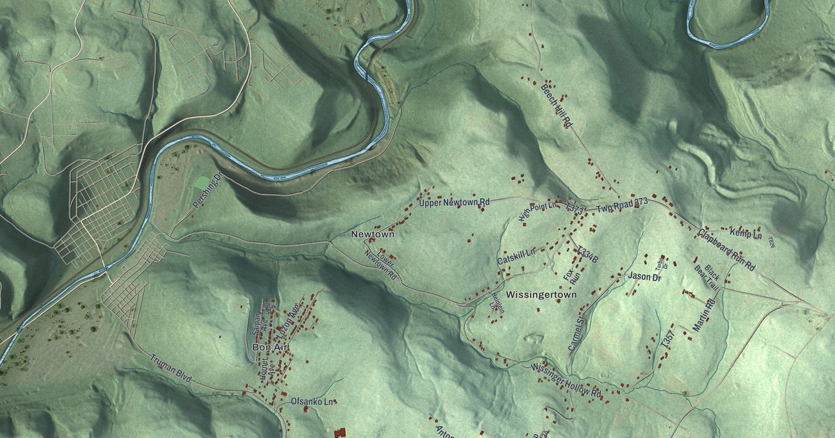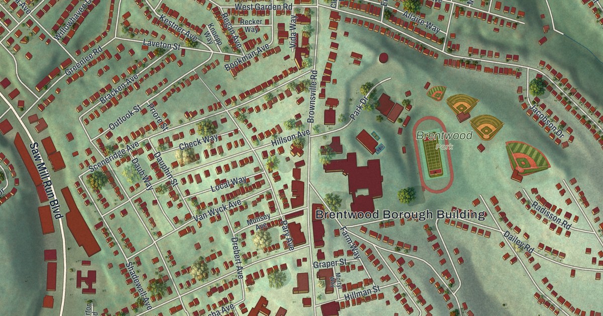
This beautifully detailed map of Brentwood, Pennsylvania was created in 2026 using aerial imagery combined with modern topographical, census, street and landmark data. It’s a one-of-a-kind view of Brentwood that combines accurate data with a vintage aesthetic. The map shows every building in its true location, many of the roads carry their names, and the shaded topographic relief shows the shape of the land.
Explore an aerial view of Brentwood, Pennsylvania
On the map you’ll find Brentwood Borough Building and Brentwood Park, along with Clairton Boulevard, Saw Mill Run Boulevard, East Willock Road, Kestner Avenue, Delco Road, Brownsville Road, Pointview Road, East Garden Road, Willett Road, Greenlee Road, and more. If you look closely you can even find your house accurately drawn in its correct location. Zoom in on the preview to look for yours.
Did you know this about Brentwood, Pennsylvania?
From the Borough of Brentwood: "As its first legislative act, the Brentwood Council authorized the construction of a sidewalk along Brownsville Road in the new community’s business district."
Take a closer look at the Brentwood map
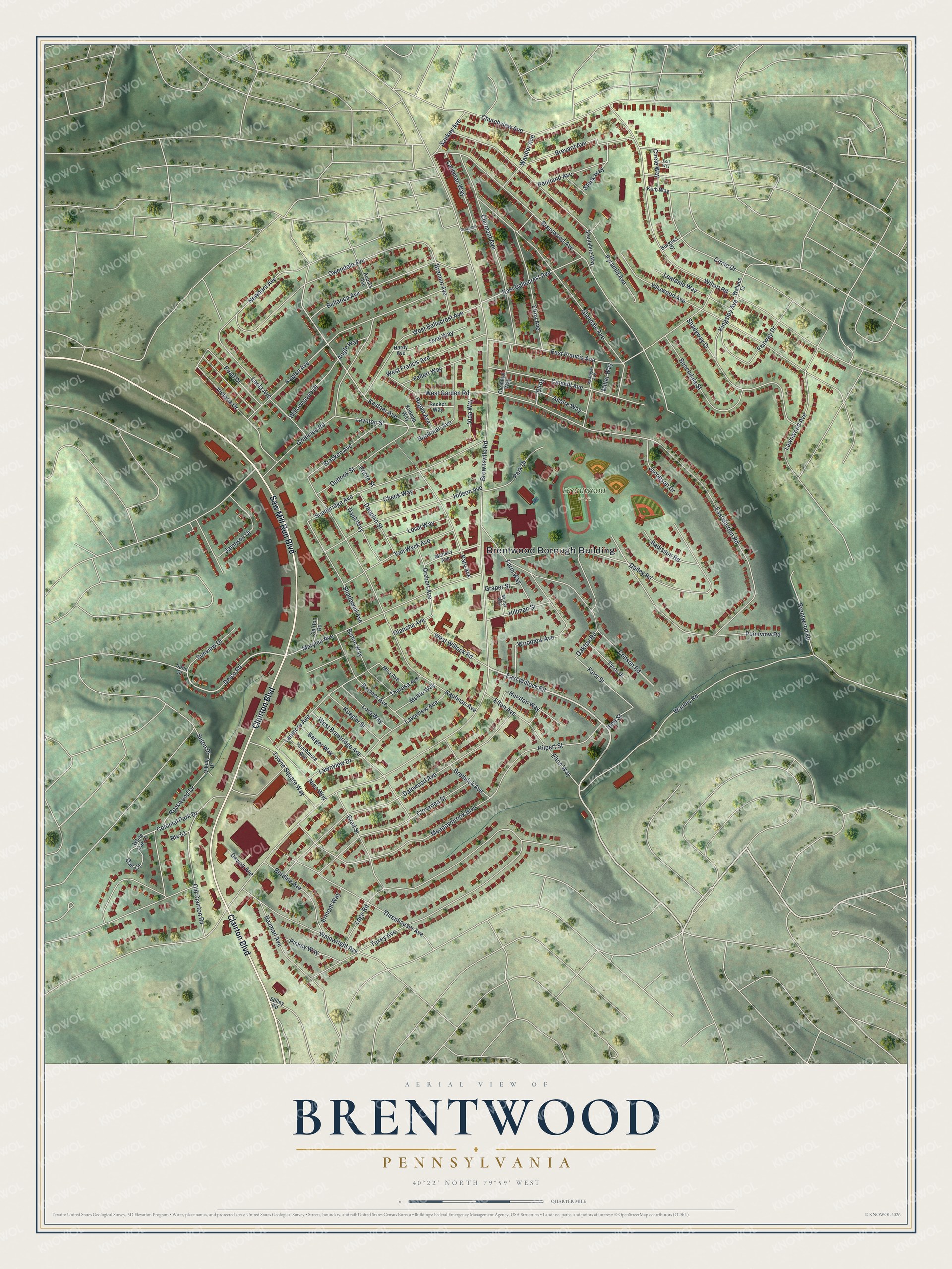
Street and place names on the Brentwood, Pennsylvania map
These names are printed on the map of Brentwood, Pennsylvania.
Places: Brentwood Borough Building and Brentwood Park.
Streets and roads: Clairton Boulevard, Saw Mill Run Boulevard, East Willock Road, Kestner Avenue, Delco Road, Brownsville Road, Pointview Road, East Garden Road, Willett Road, Greenlee Road, Brentwood Avenue, Kaufman Avenue.
More street names, A to Z
Acosta Avenue, Allaire Way, Angle Way, Banon Way, Barger Way, Bauman Avenue, Beechdale Street, Beisner Avenue, Bellanca Avenue, Bookman Avenue, Bracken Avenue, Brednick Avenue, Bremen Avenue, Brentshire Way, Brentwood Road, Brevard Avenue, Burdine Avenue, Burgess Street, Catskill Avenue, Check Way, Churchview Avenue, Circle Drive, Circle Way, Clairton Road, Clermont Avenue, Clermont Way, Cloverlea Street, Colonial Park Drive, Conson Road, Dailey Road, Dalewood Avenue, Daub Way, Dauphin Street, Dewalt Avenue, Drebert Avenue, Dunn Drive, East Bellecrest Avenue, East Francis Avenue, Edge Road, Elroy, Elroy Avenue, Elton Avenue, Elton Way, Ermont Way, Fairway Drive, Fallert Way, Farm Street, Farm Way, Glendale Avenue, Grad Street, Graper Street, Grossman Place, Hardy Avenue, Heathmore Avenue, Hillman Street, Hillson Avenue, Hilpert Street, Hurston Way, Iben Street, Jacobson Drive, Jameson Drive, Kaplan Avenue, Kingsley Avenue, Knoepp Way, Koegler Street, Korb Way, Lachman Way, Lanmore Avenue, Laveton Street, Lawnview Avenue, Lawnview Drive, Lawnwood Avenue, Leafdale Way, Leola Avenue, Local Way, Lora Way, Marylea Avenue, Meadowbrook Boulevard, Mento Way, Millar Way, Mira Avenue, Mortyl Way, Munsey Avenue, Newburn Avenue, Nies Way, Oak Court, Oakton Road, Olancha Avenue, Old Clairton Road, Outlook Street, Oval Way, Owendale Avenue, Park Drive, Pary Avenue, Pearl Drive, Pentland Avenue, Pinkey Way, Port Way, Priore Street, Pyramid Avenue, Radisson Road, Recker Way, Regan Avenue, Rockwood Drive, Route 51, Sankey Avenue, Sceneridge Avenue, Seton Drive, Shadewell Avenue, Shadyway Drive, Spangler Avenue, Steck Way, Stilley Road, Sunview Drive, Theresa Avenue, Threnhauser Avenue, Towne Square Way, Tuxey Avenue, Tyrol Drive, Van Wyck Avenue, Victoria Drive, Vida Way, Viking Drive, Villawood Avenue, Waidler Avenue, Wainwright Avenue, Wallace Drive, Wanley Road, West Bellecrest Avenue, West Brentridge Avenue, West Francis Avenue, West Garden Road, West Willock Road, White Oak Court, Willowhaven Drive, Woodrow Avenue.
See the Brentwood, Pennsylvania map on a wall
The Brentwood map as an 18 x 24 inch print in a black frame.

This beautifully detailed map of Brentwood makes an attractive addition to your office, library, or den, and it can even be used to teach children the geography and history of the area. It also makes a great gift for someone who left Brentwood and still calls it home. When you’re done exploring, click here to get your copy of the Brentwood map.