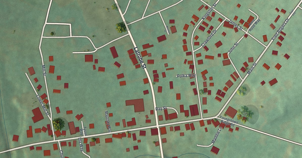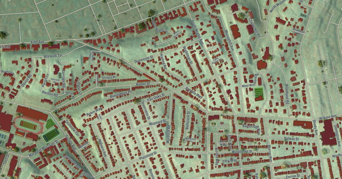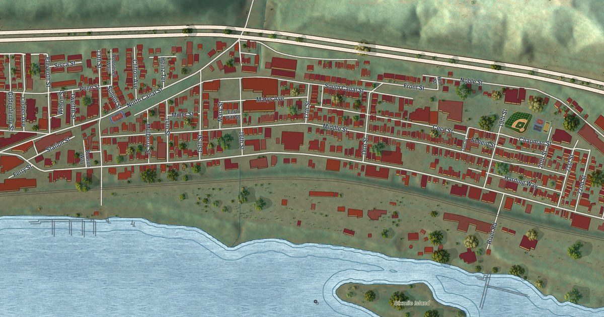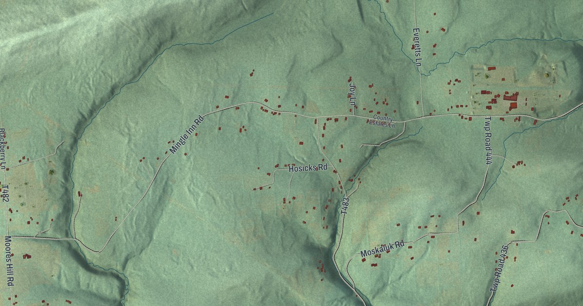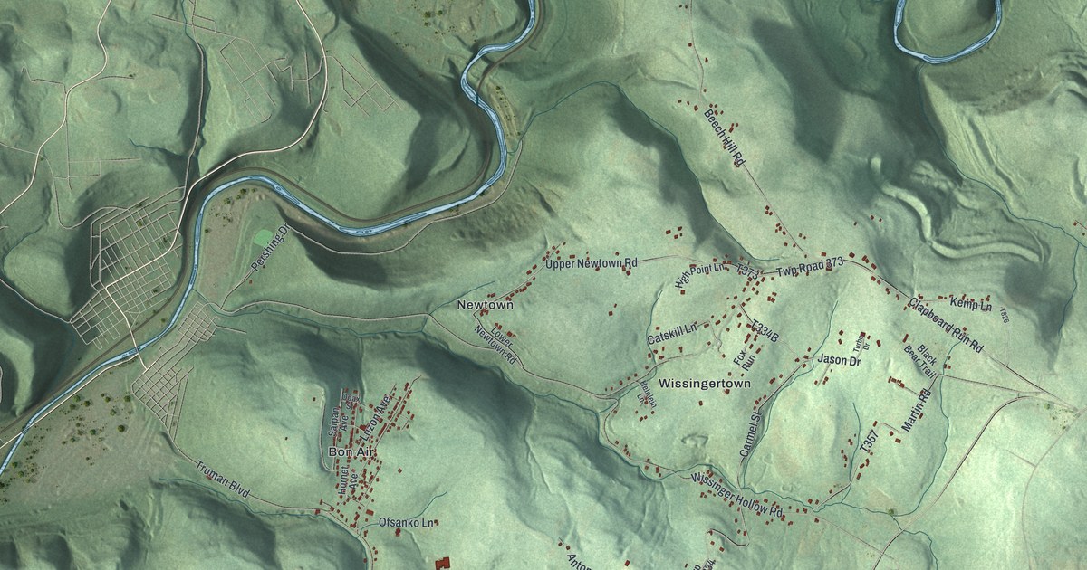
If you grew up in Bon Air, Parkstown or Cover Hill, or you still drive Frankstown Road, this map shows your part of Conemaugh Township. It's a modern aerial view of Conemaugh in Cambria County, Pennsylvania, made from modern data and given a vintage look. Green hills fill the sheet. A winding blue river curls across the top. Small red shapes mark the buildings in Newtown, Wissingertown and the rest of the township.
Frankstown Road, Bon Air and the Conemaugh hills
On this map you'll find Frankstown Road, Bon Air, Parkstown, Cover Hill, Newtown, Wissingertown, Upper Newtown Road, Lower Newtown Road, Wissinger Hollow Road, Truman Boulevard, Clapboard Run Road, Beech Hill Road, Singer Hill Road, Skyline Drive, Airport Road, and more. Each red shape is a building, so zoom in on the preview and look for yours.
Conemaugh, one of Cambria County's first three townships
Conemaugh is one of the oldest township names in Cambria County. The county officially began in 1807. At that time it had just three townships: Allegheny, Cambria and Conemaugh. That's how the History of Cambria County tells it. The book was printed in 1907. It also says Cambria and Conemaugh both came from Somerset County. Today the name still covers these hills, from the buildings of Cover Hill and Parkstown to the roads around Wissingertown.
Most of the sheet is hills. Steep green ridges fold around deep hollows, and the shading comes from USGS elevation data. A small blue lake sits near the top left. Johnstown's tight grid of streets fills the lower left corner, just outside the township. The township's own buildings gather in the middle, in small groups of red along the roads.
Keep Parkstown and Cover Hill close
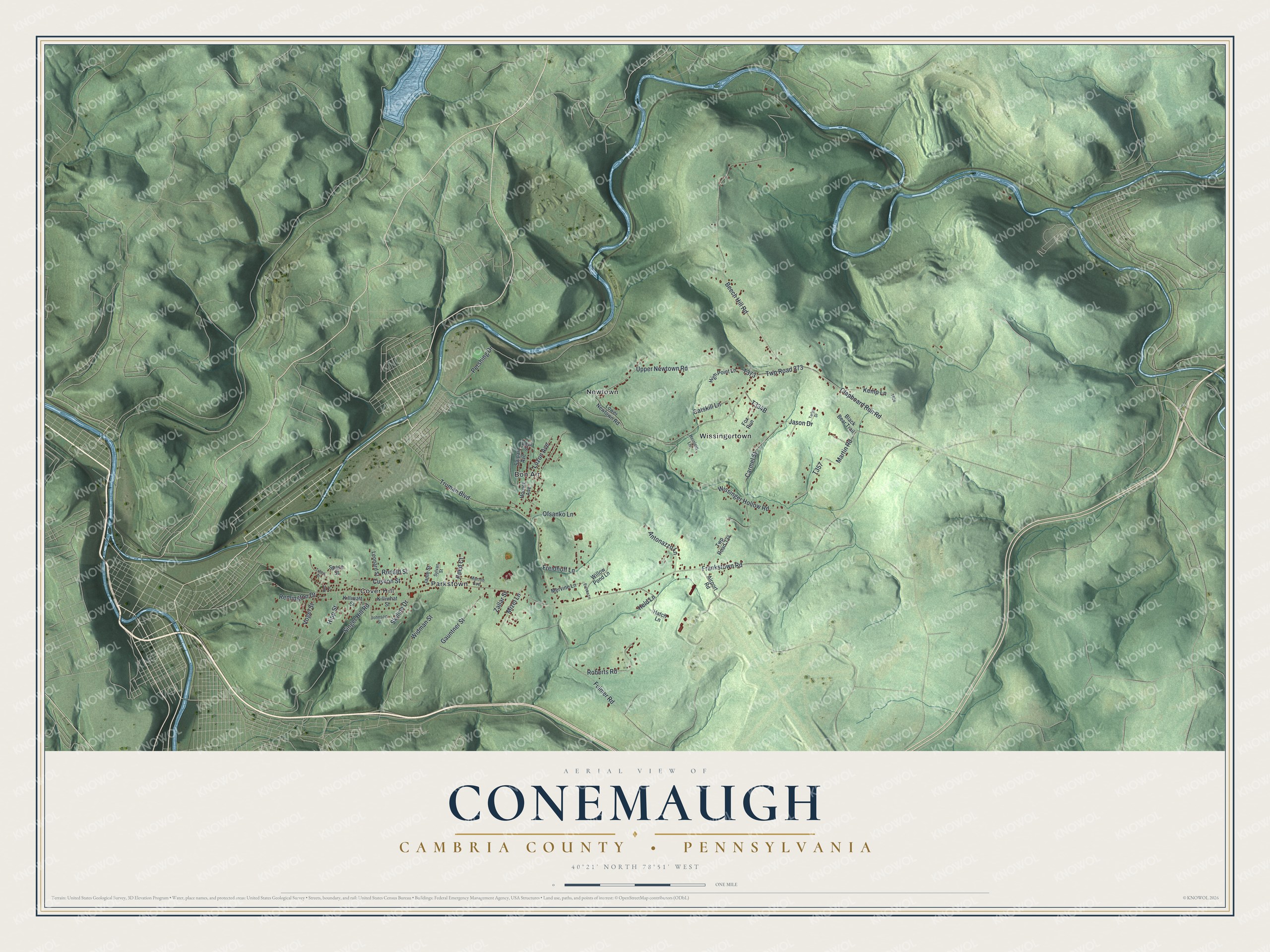
Created by KNOWOL in 2026, the print shows Conemaugh as shaded green hills with blue water and small red buildings, framed by a cream border. The title panel reads Aerial View of Conemaugh, Cambria County, Pennsylvania, with 40°21' North 78°51' West below it.
It fits a living room, a den or a hallway where family photos hang. It's a good gift for someone who grew up in Bon Air or Wissingertown and moved away, or for a family that has lived along Frankstown Road for years. Open the preview and find the street you know best. See sizes and frames for the Conemaugh, Cambria County map.