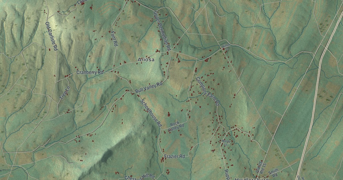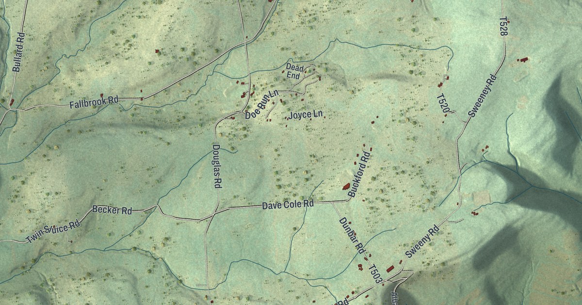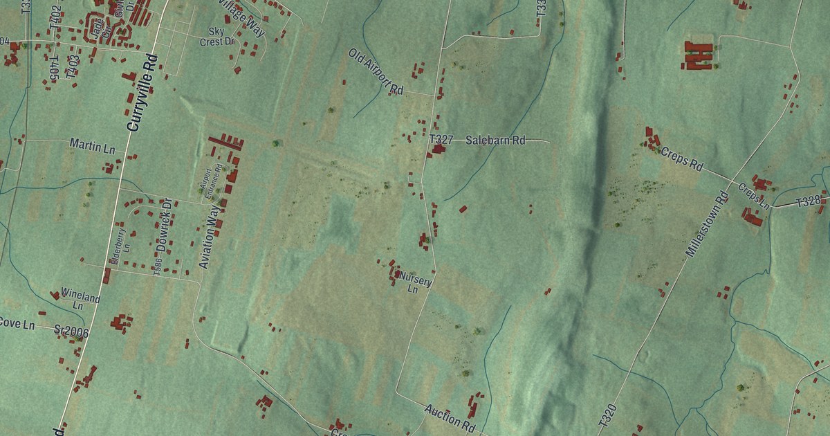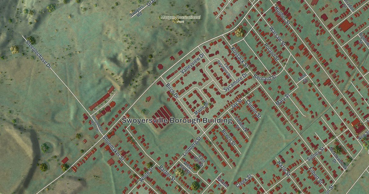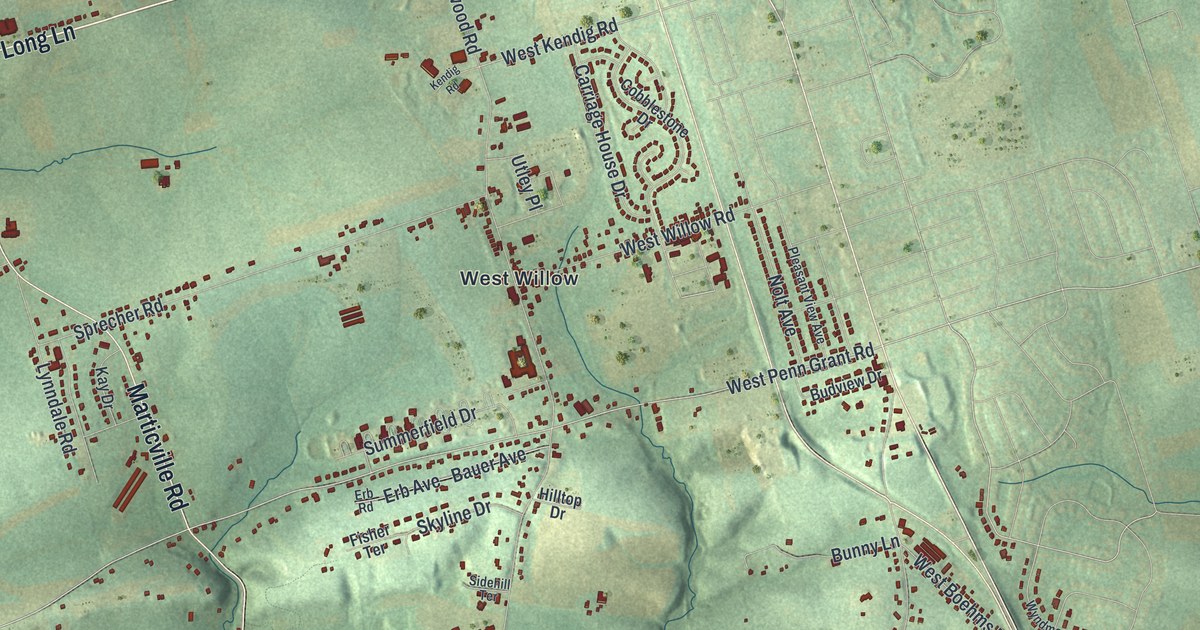
This beautifully detailed map of Pequea, Pennsylvania was created in 2026 using aerial imagery combined with modern topographical, census, street and landmark data. It’s a one-of-a-kind view of Pequea that combines accurate data with a vintage aesthetic. The map shows every building in its true location, many of the roads carry their names, and the shaded topographic relief shows the shape of the land.
Explore an aerial view of Pequea, Pennsylvania
On the map you’ll find Herrville, Burnt Mills, Silver Mine Park, Baumgardner, New Danville, Wabank, and West Willow, along with Millersville Road, Willow Street Pike, Marticville Road, Long Lane, New Danville Pike, and more. If you look closely you can even find your house accurately drawn in its correct location. Zoom in on the preview to look for yours.
Take a closer look at the Pequea map
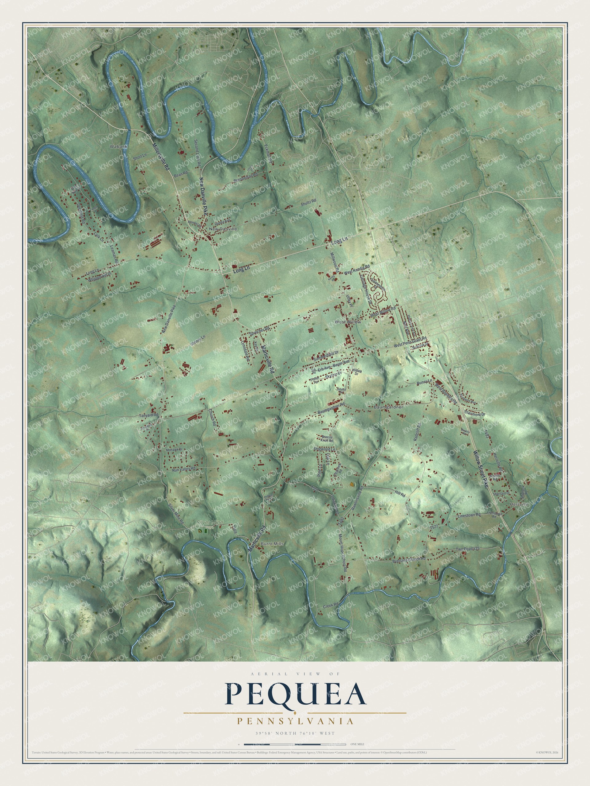
Street and place names on the Pequea, Pennsylvania map
These names are printed on the map of Pequea, Pennsylvania.
Places: Herrville, Burnt Mills, Silver Mine Park, Baumgardner, New Danville, Wabank and West Willow.
Streets and roads: Millersville Road, Willow Street Pike, Marticville Road, Long Lane, New Danville Pike, Silver Mine Road, Mount Hope School Road, West Penn Grant Road, Byerland Church Road, Shultz Road, West Kendig Road, Millwood Road.
More street names, A to Z
Arrowhead Circle, Bauer Avenue, Baumgardner Road, Bean Road, Benedict Road, Beverly Road, Breezy Knoll Road, Brenneman Road, Brooks Road, Budview Drive, Bunny Lane, Carriage House Drive, Church Road, Clairmont Drive, Clearview Road, Cobblestone Drive, Creek Road, Deerfield Road, Doe Run Lane, Dogwood Lane, Donna Avenue, Eckman Road, Erb Avenue, Erb Road, Fisher Terrace, Herrville Road, Hidden Acres, Hill Road, Hilltop Drive, Indian Hill Road, Kay Drive, Kendig Road, Lark Lane, Leaman Road, Linestown Road, Lionstown Road, Locust Lane, Lynndale Road, Mohawk Drive, Nettie Lane, Nolt Avenue, Oak Lane, Pine Lane, Pleasant View Avenue, Radcliff Road, Rawlinsville Road, Run Valley Road, Second Lock Road, Sherrard Drive, Shiprock Road, Short Lane, Sidehill Terrace, Skyline Drive, Sprecher Road, Stoney Lane, Summerfield Drive, Tanyard Road, Twp Road 425, Utley Place, West Boehms Road, West Willow Road, Whipporwill Drive, Wyndmere Way.
See the Pequea, Pennsylvania map on a wall
The Pequea map as an 18 x 24 inch print in a black frame.

This beautifully detailed map of Pequea makes an attractive addition to your office, library, or den, and it can even be used to teach children the geography and history of the area. It also makes a great gift for anyone who grew up in Pequea or moved away. When you’re done exploring, click here to get your copy of the Pequea map.