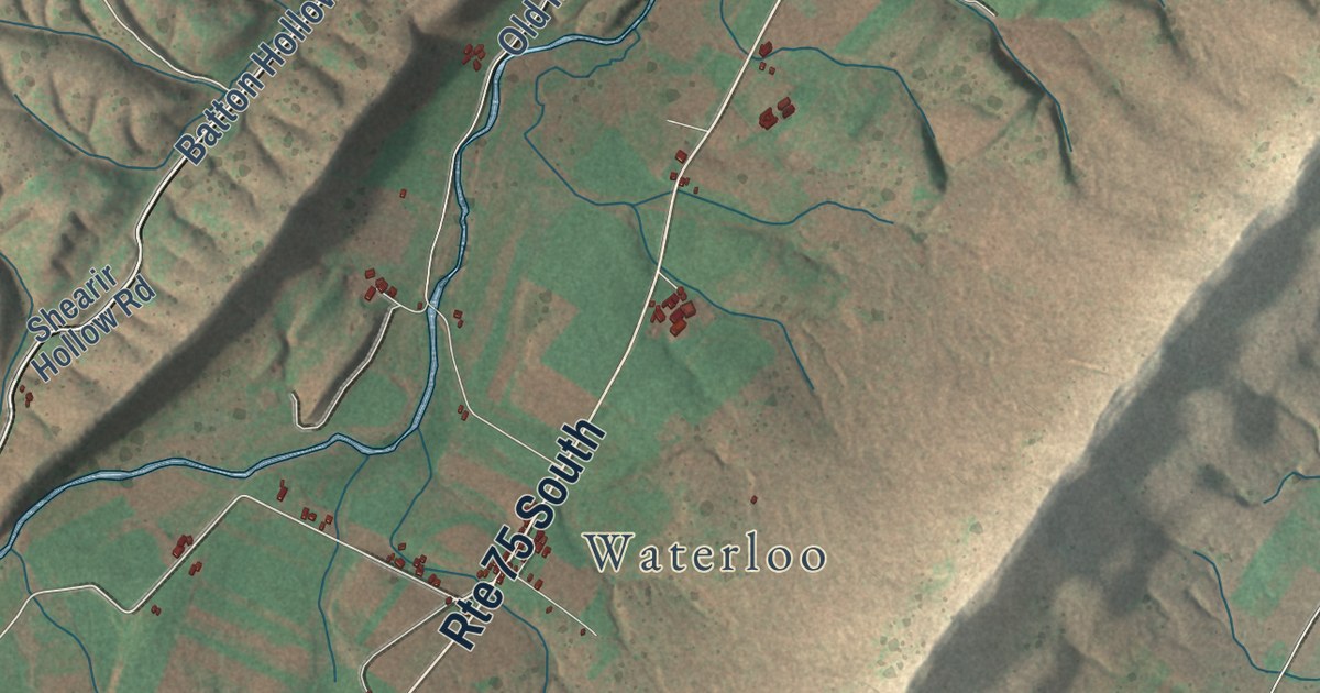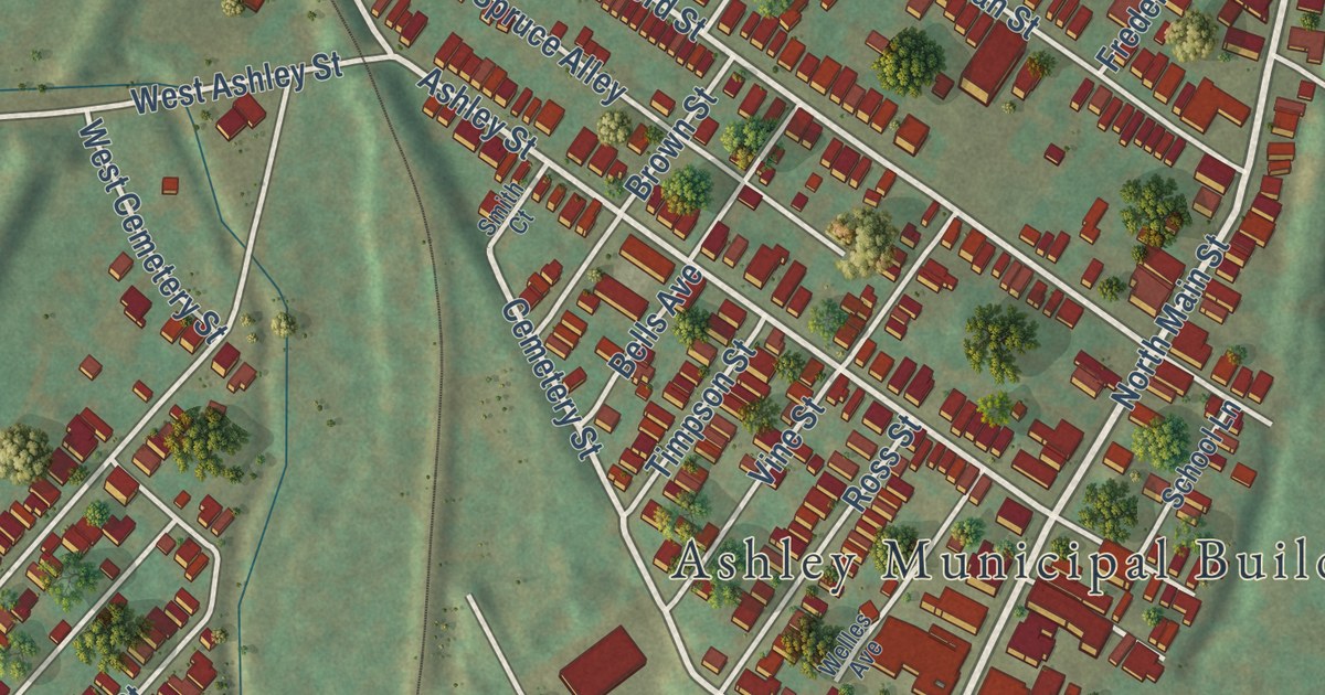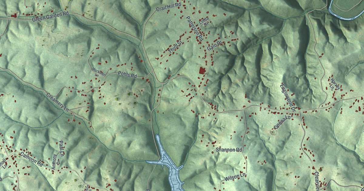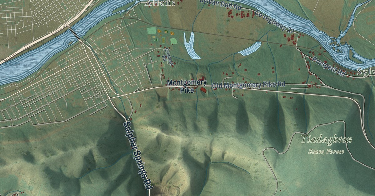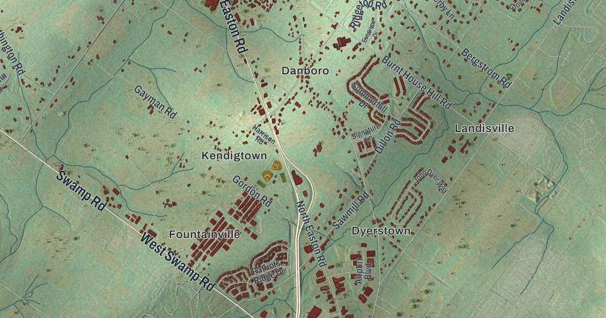
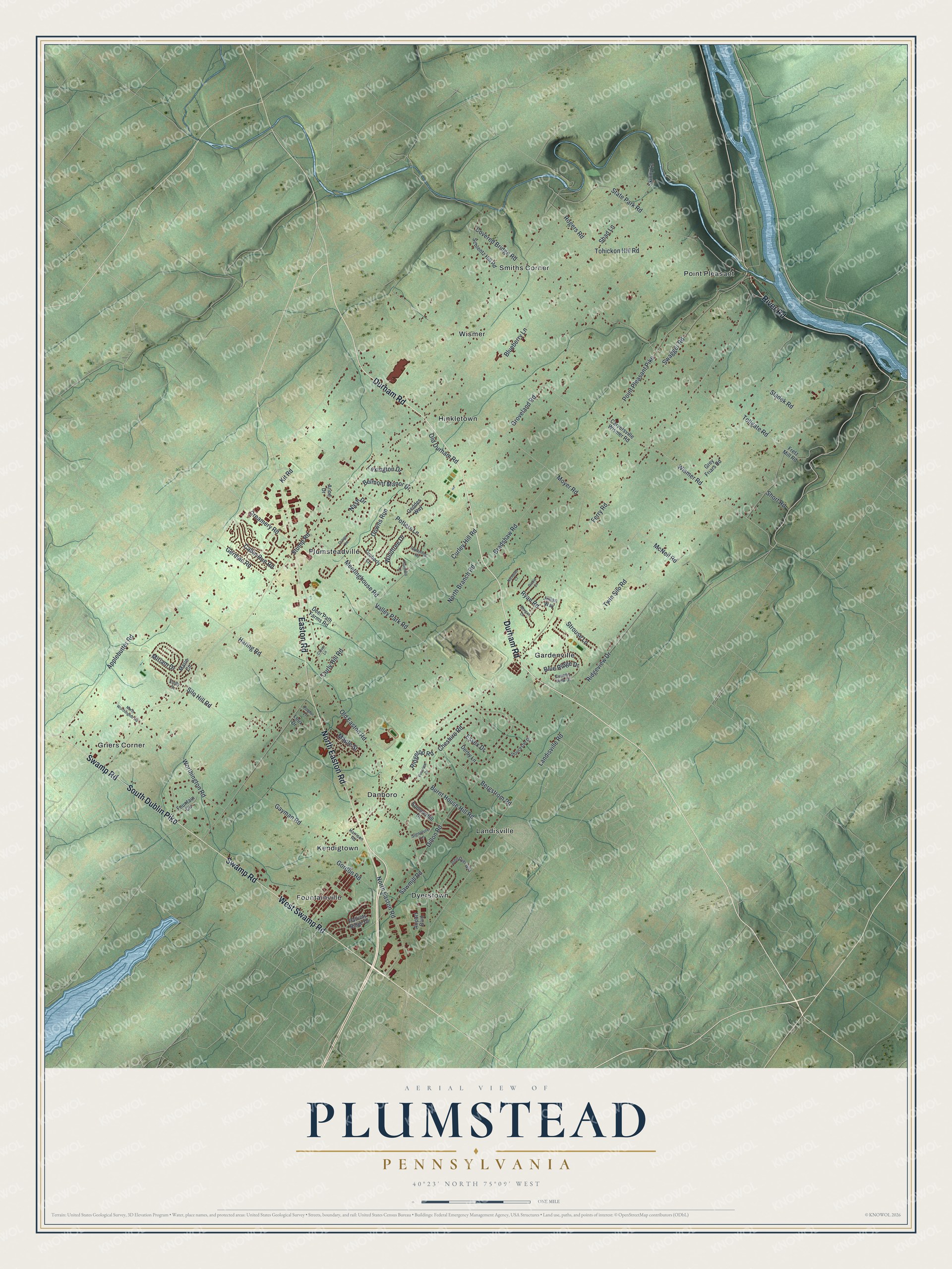
This beautifully detailed map of Plumstead, Pennsylvania was created in 2026 using aerial imagery combined with modern topographical, census, street and landmark data. It’s a one-of-a-kind view of Plumstead that combines accurate data with a vintage aesthetic. The map shows every building in its true location, many of the roads carry their names, and the shaded topographic relief shows the shape of the land.
Explore an aerial view of Plumstead, Pennsylvania
On the map you’ll find Danboro, Dyerstown, Fountainville, Gardenville, Griers Corner, Hinkletown, Kendigtown, Landisville, Plumsteadville, Point Pleasant, Smiths Corner, Wismer, and more. If you look closely you can even find your house accurately drawn in its correct location. Zoom in on the preview to look for yours.
Did you know this piece of Plumstead, Pennsylvania history?
From the 1942 Place Names in Bucks County, Pennsylvania: "Samuel Hart, an immigrant from England some time after 1716, settled in Plumstead Township and bought a large tract of land partly covering the site of the present Plumsteadville."
Take a closer look at the Plumstead map
Street and place names on the Plumstead, Pennsylvania map
These names are printed on the map of Plumstead, Pennsylvania.
Places: Danboro, Dyerstown, Fountainville, Gardenville, Griers Corner, Hinkletown, Kendigtown, Landisville, Plumsteadville, Point Pleasant, Smiths Corner and Wismer.
Streets and roads: Durham Road, Swamp Road, North Easton Road, West Swamp Road, South Dublin Pike, Easton Road, River Road, Wismer Road, Stump Road, Point Pleasant Pike, Ferry Road, Curly Hill Road.
More street names, A to Z
Airport Boulevard, Anne Drive, Applebutter Road, Belmont Manor Drive, Bergstrom Road, Blueberry Lane, Blue Ridge Drive, Bradshaw Road, Burnt House Hill Road, Cabin Run Road, Carversville Wismer Road, Cheshire Road, Clover Lane, Country View Drive, Covered Bridge Road, Craigs Vw, Creamery Road, Curley Hill Road, Deer Path Farms Road, Derby Lane, Dillon Road, Downs Run, Emily Drive, Essex Drive, Everview Drive, Fountain Circle, Fretz Mill Road, Gayman Road, Geddes Way, German Road, Gloucester Drive, Gordon Road, Grey Friars Road, Groveland Road, Haring Road, Harrison Road, Haverhill Lane, Jillian Way, John Dyer Way, Kit Road, Landisville Road, Lexington Drive, Loux Drive, Maple Street, Marie Circle, McNeil Road, Meetinghouse Road, Miriam Drive, Morgan Court, Moyer Road, Nash Drive, Nicholas Court, North Branch Road, North Worthington Road, Old Durham Road, Old Easton Road, Patriots Ridge Drive, Poplar Lane, Potters Lane, Richie Court, Ridgetop Road, Ridgeview Drive, Rogers Road, Ryan Road, Sanderling Road, Sawmill Road, Schlentz Hill Road, Shad Lane, Short Road, Signature Lane, Silo Hill Road, Skinny Lane, Sladek Road, State Park Road, Strouse Lane, Summerhill Drive, Swagger Road, Timberly Lane, Tohickon Hill Road, Tollgate Road, Twin Silo Road, Valley Park Road, Windtree Drive, Worthington Road.
See the Plumstead, Pennsylvania map on a wall
The Plumstead map as an 18 x 24 inch print in a black frame.

This beautifully detailed map of Plumstead makes an attractive addition to your office, library, or den, and it can even be used to teach children the geography and history of the area. It also makes a great gift for someone who left Plumstead and still calls it home. When you’re done exploring, click here to get your copy of the Plumstead map.