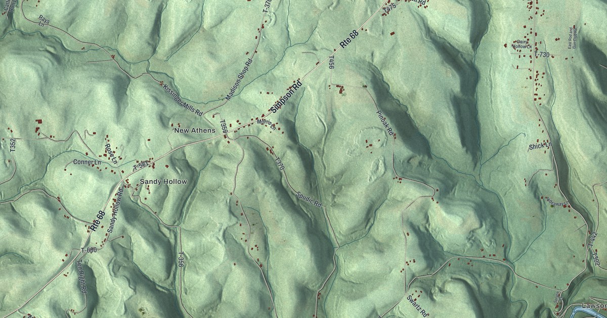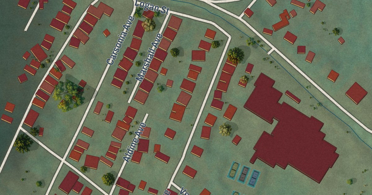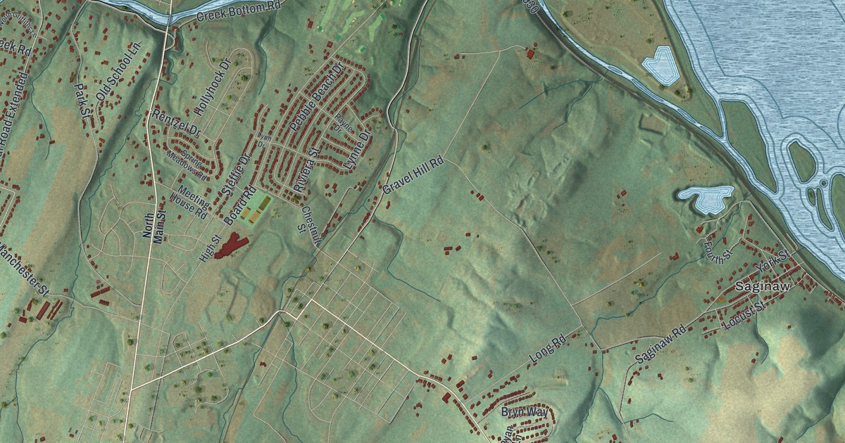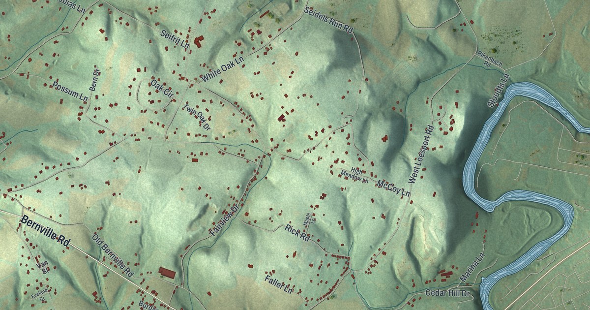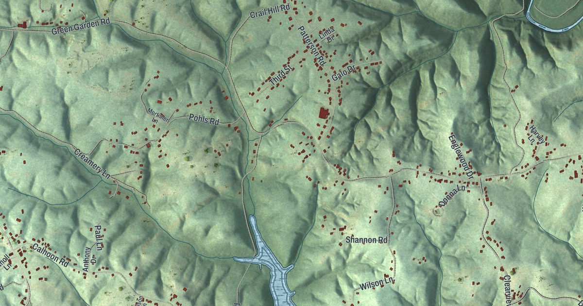
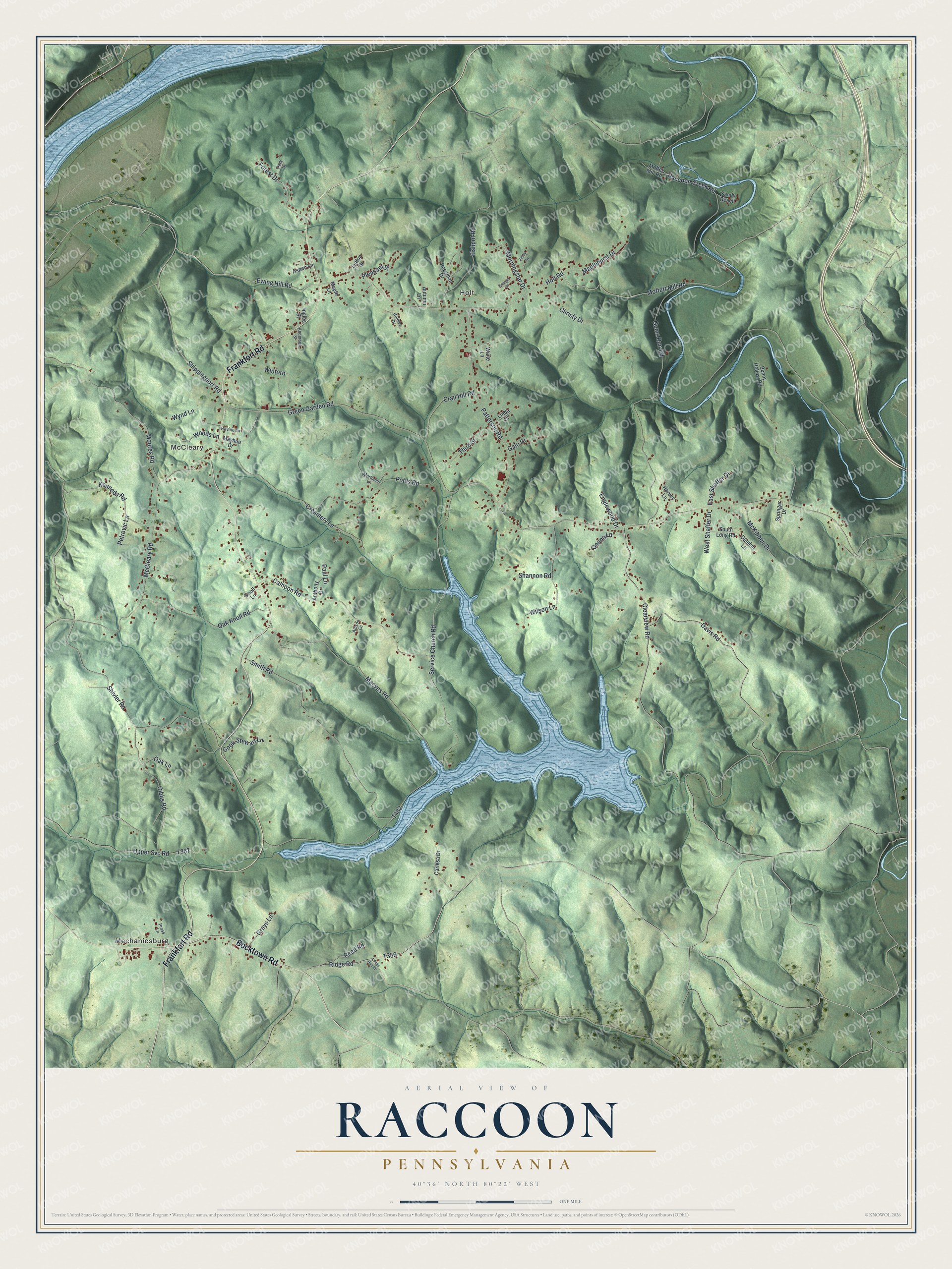
This beautifully detailed map of Raccoon, Pennsylvania was created in 2026 using aerial imagery combined with modern topographical, census, street and landmark data. It’s a one-of-a-kind view of Raccoon that combines accurate data with a vintage aesthetic. The map shows every building in its true location, many of the roads carry their names, and the shaded topographic relief shows the shape of the land.
Explore an aerial view of Raccoon, Pennsylvania
On the map you’ll find Mechanicsburg, McCleary, and Holt, along with Frankfort Road, Bocktown Road, Holt Road, Moffett Mill Road, Ewing Hill Road, Shippingport Road, Ridge Road, and more. If you look closely you can even find your house accurately drawn in its correct location. Zoom in on the preview to look for yours.
Did you know this piece of Raccoon, Pennsylvania history?
From the 1888 History of Beaver County, Pennsylvania: "In addition to the good supply of timber to be found within the township, a beneficent Providence has furnished an abundance of coal, oil and natural gas near at hand to prevent poor mortals from perishing from cold or starvation."
Take a closer look at the Raccoon map
Street and place names on the Raccoon, Pennsylvania map
These names are printed on the map of Raccoon, Pennsylvania.
Places: Mechanicsburg, McCleary and Holt.
Streets and roads: Frankfort Road, Bocktown Road, Holt Road, Moffett Mill Road, Ewing Hill Road, Shippingport Road, Ridge Road, Creamery Lane, McCleary Road, Green Garden Road, Service Church Road, Gums Run Road.
More street names, A to Z
Allison Lane, Anderson Street, Anthony Drive, Aspen Lane, Autumn Lane, Calhoon Road, Carlesa Drive, Christy Drive, Clearview Road, Cook-Stewart Lane, Crail Hill Road, Damian Lane, Davis Road, Donna Lane, East Shaffer Drive, Englewood Drive, Fishpot Road, Forest Drive, Galo Drive, Georgia Street, Gibbs Road, Grays Lane, Harvey Lane, Holmes Drive, Ingles Street, Kennedy Road, Knoll Lane, Linda Drive, Longs Run Road, Lutton Drive, Macves Road, Maplehurst Drive, Maple Lane, Mayhue Drive, McKibben Drive, Moffet Mill Road, Moores Road, Morningstar Drive, Mortimer Lane, Oak Knoll Road, Oak Lane, Park Drive, Patterson Road, Paul Lane, Penny Hollow Road, Petrovic Lane, Pleasant Street, Pohls Road, Pross Lane, Raccoon Creek Road, Ravine Lane, Reed Road, Reesman Drive, Sandy Beach, Shannon Road, Shivler Road, Smith Road, South Long Road, Springer Drive, Third Street, Upper Svc Road, Valley Vw, Waite Lane, West Shaffer Drive, Wilson Lane, Winford, Woods Lane, Wynd Lane.
See the Raccoon, Pennsylvania map on a wall
The Raccoon map as an 18 x 24 inch print in a black frame.

This beautifully detailed map of Raccoon makes an attractive addition to your office, library, or den, and it can even be used to teach children the geography and history of the area. It also makes a great gift for anyone who grew up in Raccoon or moved away. When you’re done exploring, click here to get your copy of the Raccoon map.