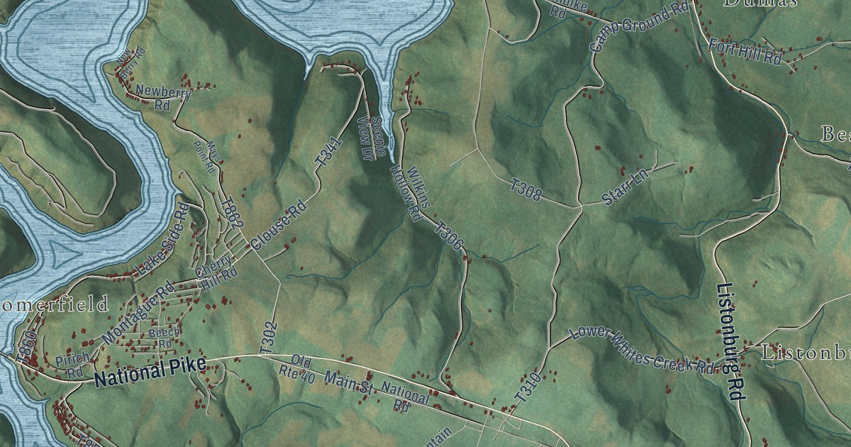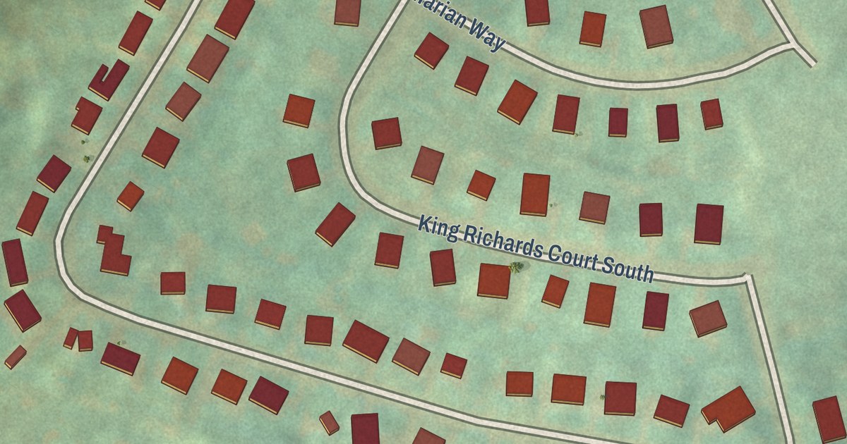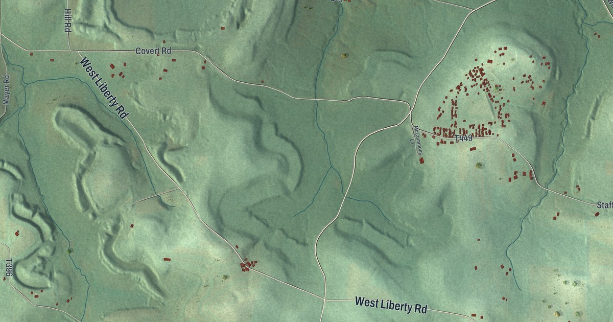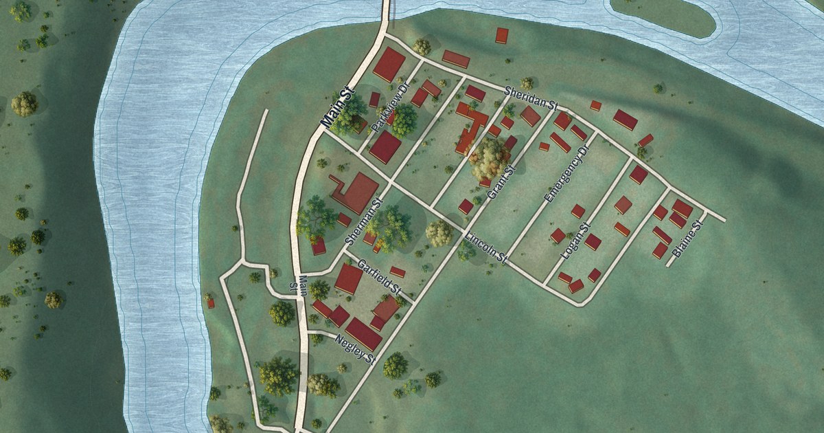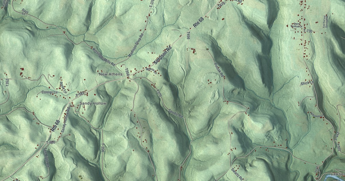
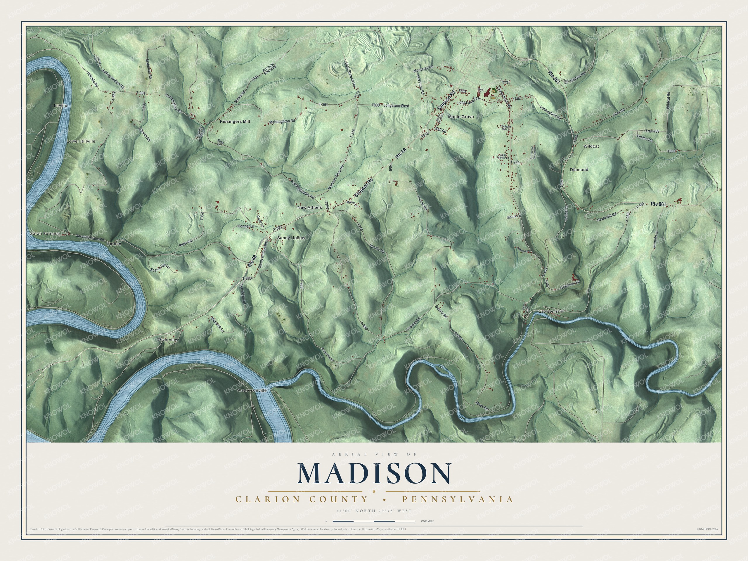
This beautifully detailed map of Madison, Clarion County, Pennsylvania was created in 2026 using aerial imagery combined with modern topographical, census, street and landmark data. It’s a one-of-a-kind view of Madison that combines accurate data with a vintage aesthetic. The map shows every building in its true location, many of the roads carry their names, and the shaded topographic relief shows the shape of the land.
Explore an aerial view of Madison, Clarion County, Pennsylvania
On the map you’ll find Sarah Furnace, Lower Hillville, Catfish, Diamond, Hillville, Kissingers Mill, Lawsonham, Maple Grove, New Athens, Riverview, Sandy Hollow, Wattersonville, and more. If you look closely you can even find your house accurately drawn in its correct location. Zoom in on the preview to look for yours.
Did you know this about Madison, Clarion County, Pennsylvania?
From Pa-roots.com: "Much of the land has been suffered to deteriorate, but by the liberal use of lime readily procurable from the above-mentioned stratum, and burned by means of the coal so near by, progressive farmers are fast restoring their fields to their pristine fertility."
Take a closer look at the Madison, Clarion County map
Street and place names on the Madison, Clarion County, Pennsylvania map
These names are printed on the map of Madison, Clarion County, Pennsylvania.
Places: Sarah Furnace, Lower Hillville, Catfish, Diamond, Hillville, Kissingers Mill, Lawsonham, Maple Grove, New Athens, Riverview, Sandy Hollow, Wattersonville and Wildcat.
Streets and roads: Simpson Road, Route 68, Route 861, Lawsonham Road, Traister Road, Madison Shop Road, T-370, Hillville Road, Clair Stewart Road, T-361, T-352, Trail 459.
More street names, A to Z
Baker Street, Bell Road, Catfish Run Lane, Church Road, Conneration Road, Conner Lane, Crissman Road, Dairy Hollow Lane, East Rod and Gun Club Road, Fiddler Road, Flick Road, Fox Farm Road, Friar Point, Hawk Hill Road, Hideaway Lane, Jeffery Hollow Road, Jeffrey Hollow Road, Kemery Road, Kermits Lane, Kissinger Mills Road, Kissinger School Road, Lobaughhill Road, Long Lane East, Long Lane West, Maple Grove Road, Mays Road, McNaughton Road, Monarch Lane, Monterey Road, Morris Lane, Pinoak Road, Pleasant Hill Lane, Rays Lane, Rider Road, Rose Lane, Sandy Hollow Road, Sarah Furnace Road, Scenic Hill Lane, Shick Lane, Solida Road, Spruce Lane, Spudic Road, Stahlman Road, Steele Road, Swartz Road, Switzer Road, T-301, T-356, T-442, T-456, T-460, T-461, T-581, T-680, T-730, T-880, Ten Right Road, Trail 476, Wildcat Road.
See the Madison, Clarion County, Pennsylvania map on a wall
The Madison, Clarion County map as an 18 x 24 inch print in a black frame.

This beautifully detailed map of Madison, Clarion County makes an attractive addition to your office, library, or den, and it can even be used to teach children the geography and history of the area. It also makes a great gift for someone who left Madison and still calls it home. When you’re done exploring, click here to get your copy of the Madison, Clarion County map.