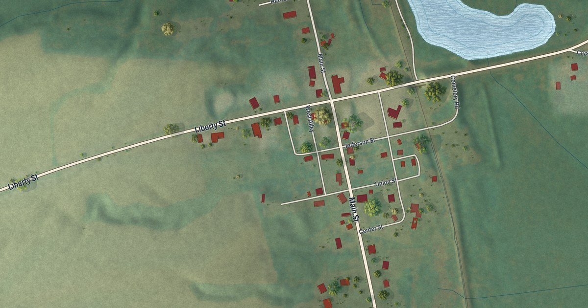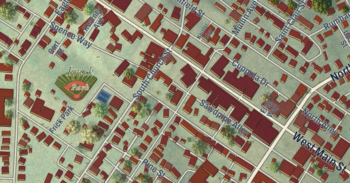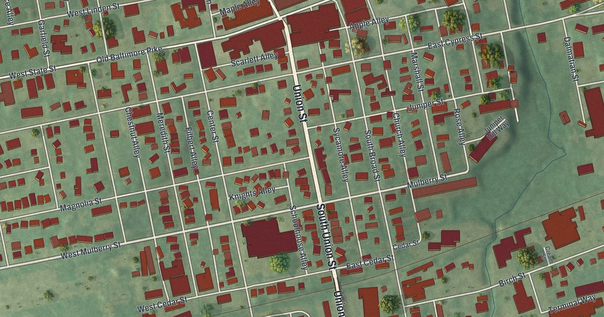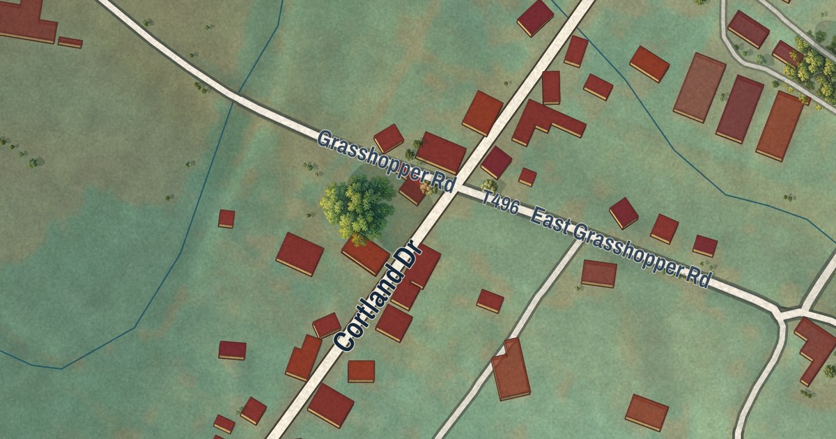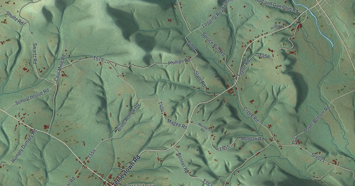
This beautifully detailed map of Madison, Columbia County, Pennsylvania was created in 2026 using aerial imagery combined with modern topographical, census, street and landmark data. It’s a one-of-a-kind view of Madison that combines accurate data with a vintage aesthetic. The map shows every building in its true location, many of the roads carry their names, and the shaded topographic relief shows the shape of the land.
Explore an aerial view of Madison, Columbia County, Pennsylvania
On the map you’ll find State Game Lands Number 226, Columbia Hill, Derry, Jerseytown, and Mordansville, along with Washingtonville Road, White Hall Road, Danville Road, Millville Road, Jerseytown Road, Buckhorn Road, and more. If you look closely you can even find your house accurately drawn in its correct location. Zoom in on the preview to look for yours.
Did you know this piece of Madison, Columbia County, Pennsylvania history?
From the 1887 History of Columbia and Montour Counties, Pennsylvania: "The name of the grandfather was James Qinglcs, a native of New Jersey; he purchased the property now owned by the family in Madison Township on September 15, 1795, of James Starr, the same being patented by him, Starr, on July 17, 1795."
Take a closer look at the Madison, Columbia County map
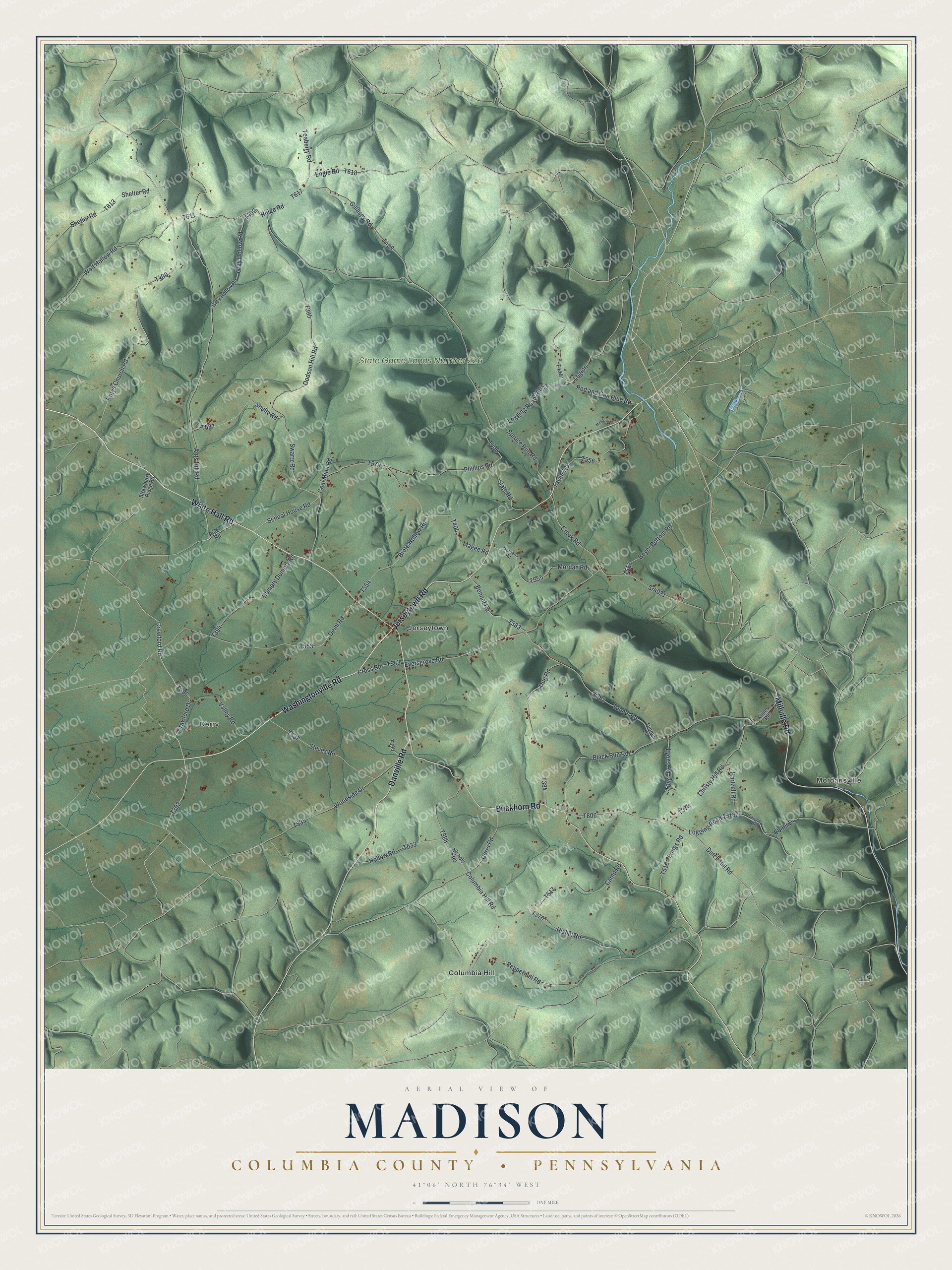
Street and place names on the Madison, Columbia County, Pennsylvania map
These names are printed on the map of Madison, Columbia County, Pennsylvania.
Places: State Game Lands Number 226, Columbia Hill, Derry, Jerseytown and Mordansville.
Streets and roads: Washingtonville Road, White Hall Road, Danville Road, Millville Road, Jerseytown Road, Buckhorn Road, Crawford Road, Katys Church Road, Crawford Drive, Ridge Road, Ants Hill Road, Logging Road 19053.
More street names, A to Z
Bennet Road, Black Run Road, Boyer Bottom Road, Brote Hollow Road, Camp Road, Christy Hill Road, Coal Mine Road, Columbia Hill Road, Creek Road, Cross Road, Deihl Road, Derrs Road, Dodson Hill Road, Dug Road, Dutch Hill Road, Ebner Drive, Engle Road, Eyersgrove Road, Fairview Drive, Gillaspy Road, Gray Hollow Road, Grey Hollow Road, Hartzell Road, Hollow Road, Humpty Dumpty Road, Klines Road, Legion, Legion Road, Logging Road 19107, Longs Road, Lyons Road, Magee Road, Meadows Drive, Mordan Road, Mordans Road, Nichols Road, Peppermill Road, Phillips Road, Rider Road, Rishel Road, Rod and Gun Club Road, School House Road, Shelter Road, Shetler Road, Shultz Road, Slate Road, Spruce Run Road, Sr4021, Steves Road, Strawberry Ridge Road, Swartz Road, Taylor Road, Teaberry Road, Tunnel Drive, Tunnel Road, Valley Road, Wolf Hollow Road, Woodside Drive.
See the Madison, Columbia County, Pennsylvania map on a wall
The Madison, Columbia County map as an 18 x 24 inch print in a black frame.

This beautifully detailed map of Madison, Columbia County makes an attractive addition to your office, library, or den, and it can even be used to teach children the geography and history of the area. It also makes a great gift for anyone with Madison roots. When you’re done exploring, click here to get your copy of the Madison, Columbia County map.