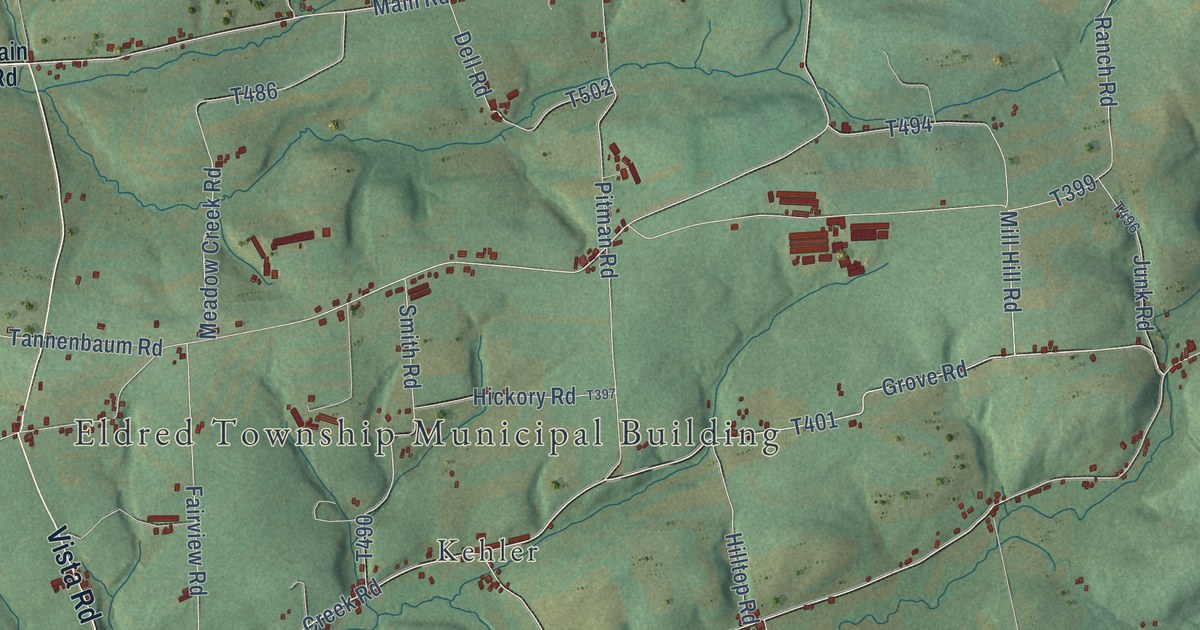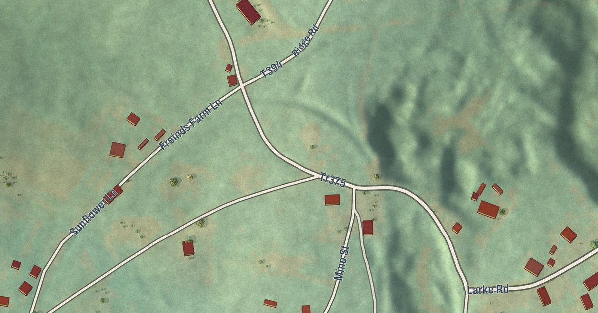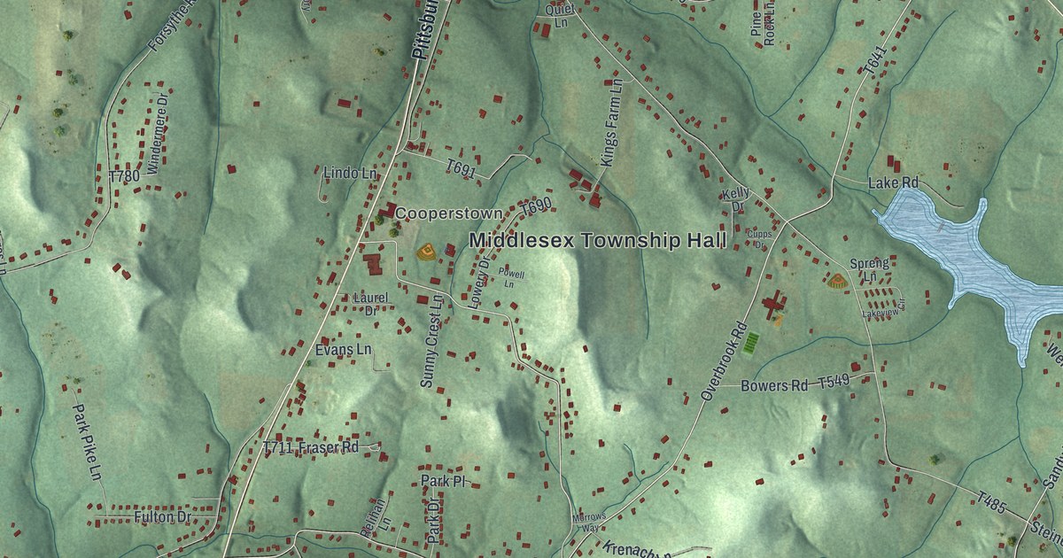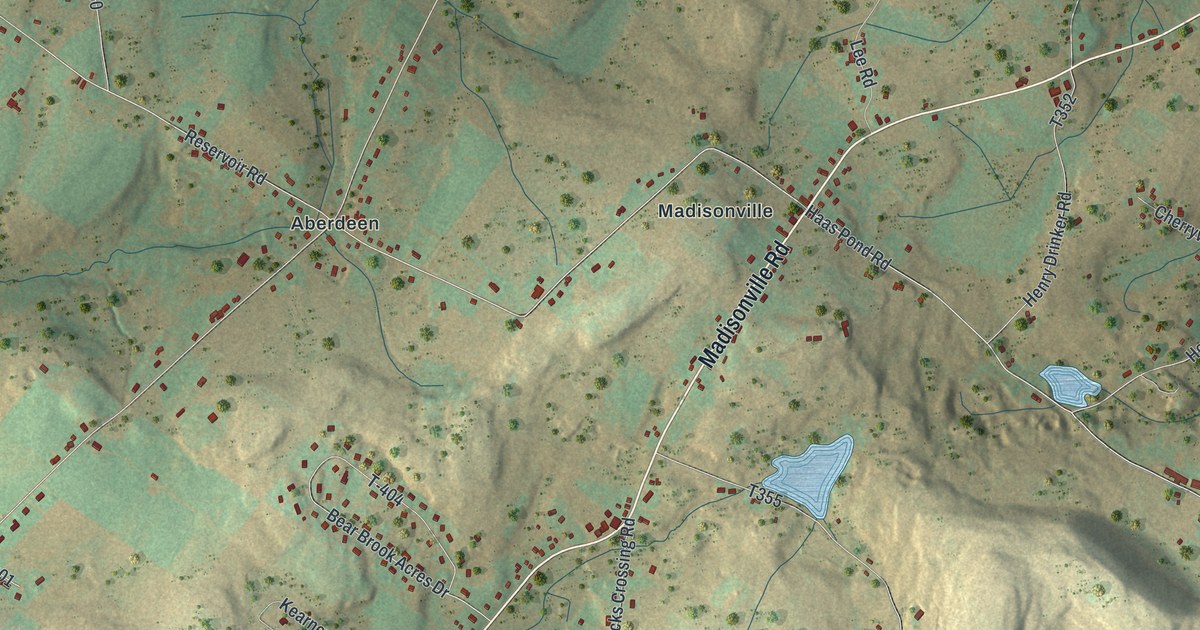
This beautifully detailed map of Madison, Lackawanna County, Pennsylvania was created in 2026 using aerial imagery combined with modern topographical, census, street and landmark data. It’s a one-of-a-kind view of Madison that combines accurate data with a vintage aesthetic. The map shows every building in its true location, many of the roads carry their names, and the shaded topographic relief shows the shape of the land.
Explore an aerial view of Madison, Lackawanna County, Pennsylvania
On the map you’ll find Pinchot State Forest, Aberdeen, Bloomington, Dawn Acres, Jubilee, Madisonville, and Quicktown, along with Madisonville Road, Hamlin Road, Watts Road, Aberdeen Road, Nashotka Road, and more. If you look closely you can even find your house accurately drawn in its correct location. Zoom in on the preview to look for yours.
Did you know this piece of Madison, Lackawanna County, Pennsylvania history?
Madison Township was named in honor of President James Madison. Its first settlers were Thomas Biesecker and Richard Edwards. They came to the northwest part of the township in the fall of 1824 and built log cabins. In January 1825 they moved their families in. That’s from the 1912 History of Newton and Ransom Townships.
Take a closer look at the Madison, Lackawanna County map
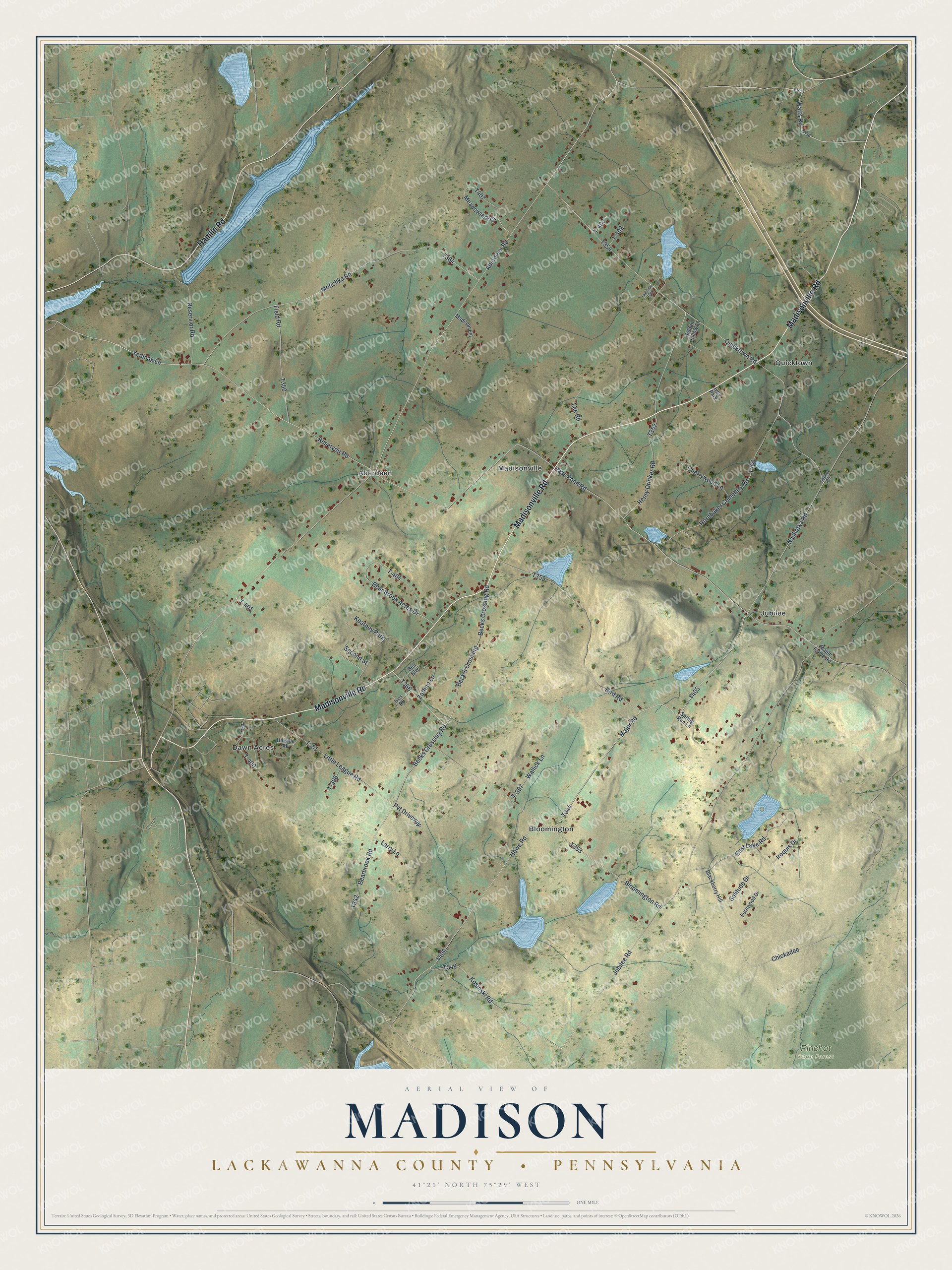
Street and place names on the Madison, Lackawanna County, Pennsylvania map
These names are printed on the map of Madison, Lackawanna County, Pennsylvania.
Places: Pinchot State Forest, Aberdeen, Bloomington, Dawn Acres, Jubilee, Madisonville, Quicktown, Kearney Park, Ives Park and Lakeside Park.
Streets and roads: Madisonville Road, Hamlin Road, Watts Road, Aberdeen Road, Nashotka Road, Yedinak Lane, Major Road, East Lake Road, Chickadee, Quicktown Road, Haas Pond Road, Reservoir Road.
More street names, A to Z
Bear Brook Acres Drive, Bearbrook Road, Beck's Crossing, Becks Crossing Road, Bell Boulevard, Bird Road, Blackberry Hill, Bloomington Road, Cherrywood Lane, Fernwood Drive, Field Road, Henry Drinker Road, Hidden Hollow Lane, Hillside Pk, Hornbaker Cemetary Road, Howe Road, Iroquis Drive, Ives Road, Jubilee Road, Kosinski Road, Larry Lane, Lee Road, Little League Road, Madison Est, Maple Grove Road, Meadowlark Drive, Motichka Road, Pvt Driveway, Reservior Road, Second Street, Sepko Road, Solitude Drive, Spring Run Lane, T-396, T-397, T-398, T-400, T-401, T-402, T-403, T-404, Wallick Lane, Zaffino Lane.
See the Madison, Lackawanna County, Pennsylvania map on a wall
The Madison, Lackawanna County map as an 18 x 24 inch print in a black frame.

This beautifully detailed map of Madison, Lackawanna County makes an attractive addition to your office, library, or den, and it can even be used to teach children the geography and history of the area. It also makes a great gift for anyone who grew up in Madison or moved away. When you’re done exploring, click here to get your copy of the Madison, Lackawanna County map.