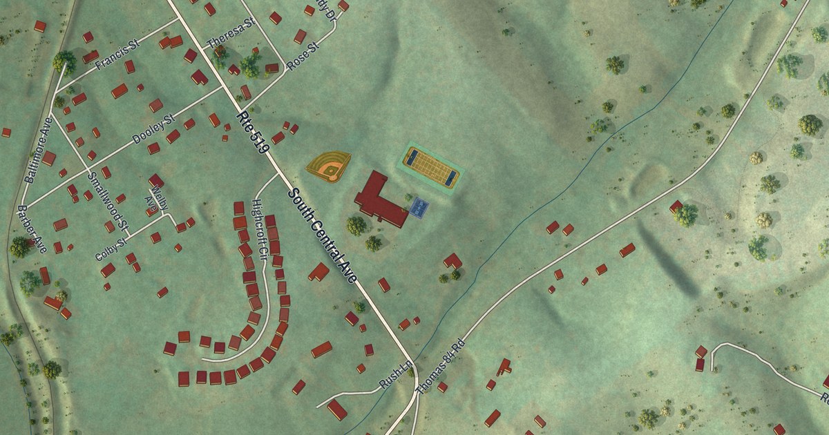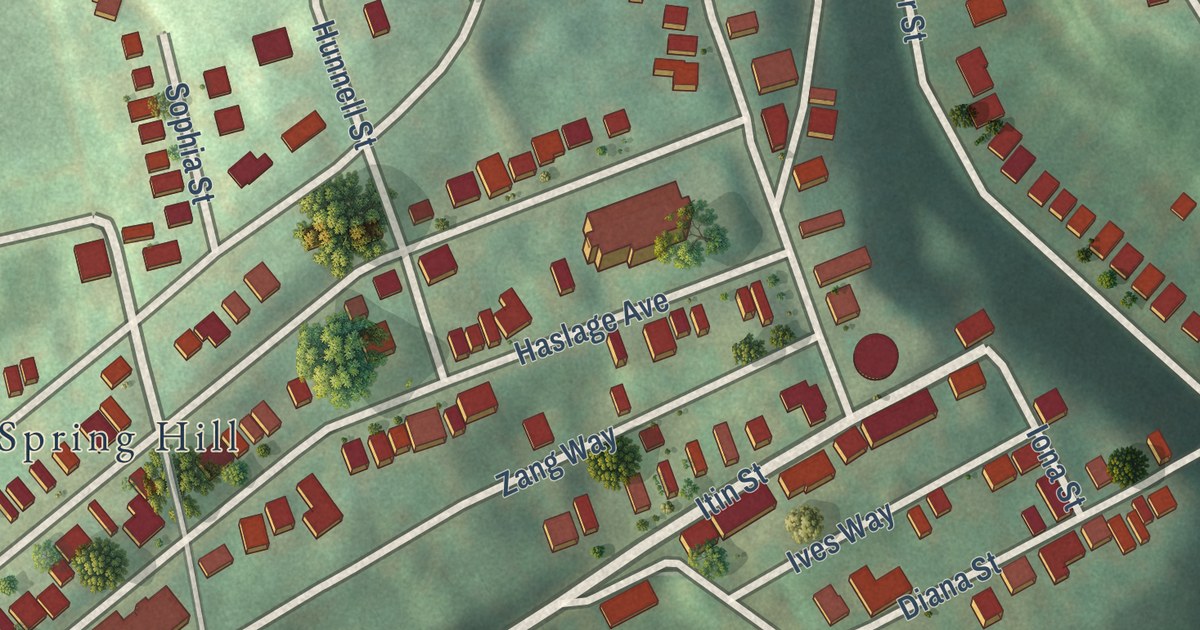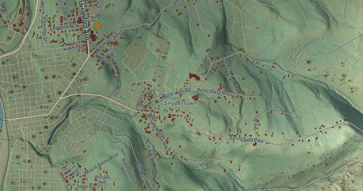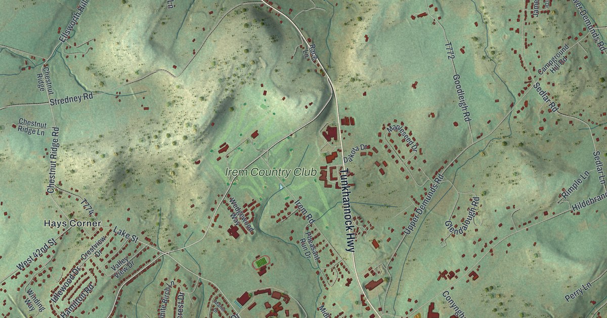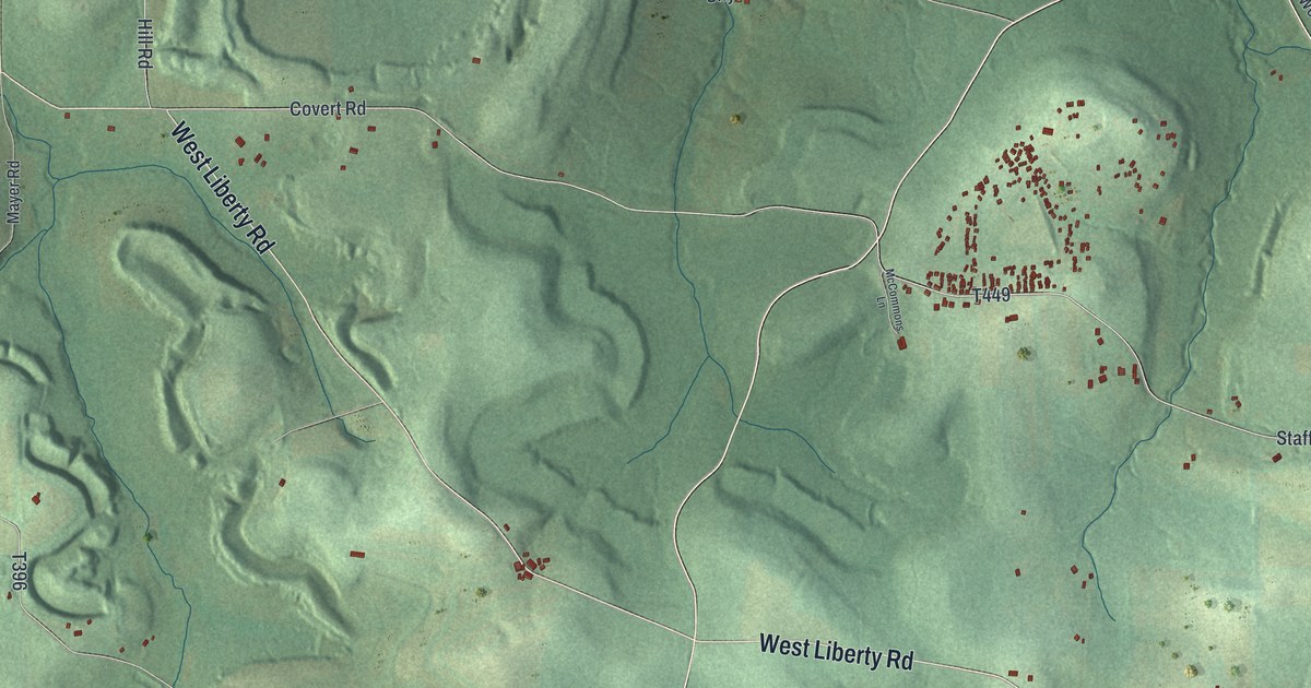
This beautifully detailed map of Brady, Butler County, Pennsylvania was created in 2026 using aerial imagery combined with modern topographical, census, street and landmark data. It’s a one-of-a-kind view of Brady that combines accurate data with a vintage aesthetic. The map shows every building in its true location, many of the roads carry their names, and the shaded topographic relief shows the shape of the land.
Explore an aerial view of Brady, Butler County, Pennsylvania
On the map you’ll find Slippery Rock Park, Hallston, Elora, Moraine State Park, and Crolls Mills, along with Prospect Road, William Flynn Highway, West Liberty Road, Hallston Road, Centreville Pike, Hobart Boulevard, Staff Road, and more. If you look closely you can even find your house accurately drawn in its correct location. Zoom in on the preview to look for yours.
Did you know this piece of Brady, Butler County, Pennsylvania history?
From the Pennsylvania Historical and Museum Commission: "A haven for lumbermen, drovers and travelers, this important landmark and once famous hostelry was built in 1822 at the crossroads of the old Venango Trail and Butler to Mercer Pike by John K. Brown of Oliver. The Marquis de Lafayette may have stopped here on June 1, 1825."
Take a closer look at the Brady, Butler County map
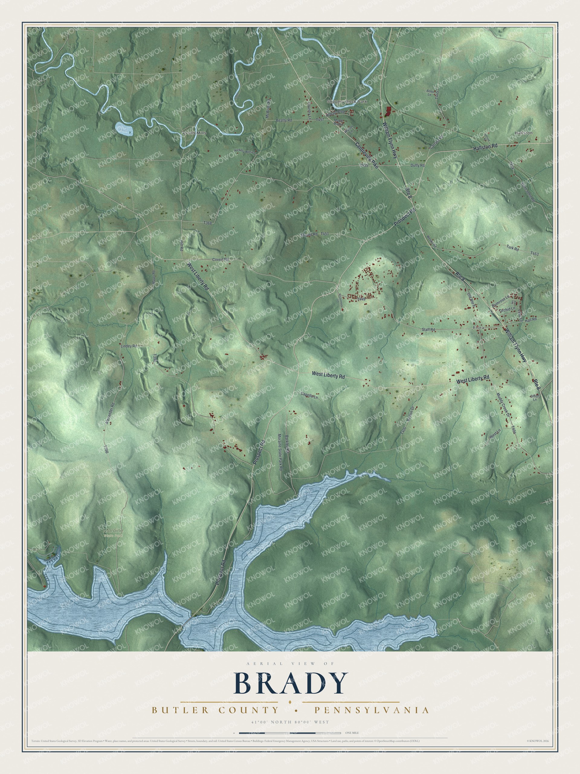
Street and place names on the Brady, Butler County, Pennsylvania map
These names are printed on the map of Brady, Butler County, Pennsylvania.
Places: Slippery Rock Park, Hallston, Elora, Moraine State Park and Crolls Mills.
Streets and roads: Prospect Road, Route 8, William Flynn Highway, West Liberty Road, Hallston Road, Centreville Pike, Hobart Boulevard, Staff Road, Covert Road, Hall Road, Alexander Road, Primrose Lane.
More street names, A to Z
Allen Lane, Barkley Road, Beatty Road, Burton Drive, Capello Lane, Carrara Road, Country Lane, Dillon Lane, Duffy Road, Hickory Hills Lane, Hill Road, Holland Road, Iris Lane, Lilac Lane, Linden Lane, Lindey Road, Maple Manor, Mayer Road, McBride Road, McCommons Lane, Moraine State Park Road, Muddy Creek Drive, Old Route 8, Orchid Lane, Saint John Road, Snyder Road, Turk Road, Walker Lane, Weeks Road, West Lane.
See the Brady, Butler County, Pennsylvania map on a wall
The Brady, Butler County map as an 18 x 24 inch print in a black frame.

This beautifully detailed map of Brady, Butler County makes an attractive addition to your office, library, or den, and it can even be used to teach children the geography and history of the area. It also makes a great gift for someone who left Brady and still calls it home. When you’re done exploring, click here to get your copy of the Brady, Butler County map.