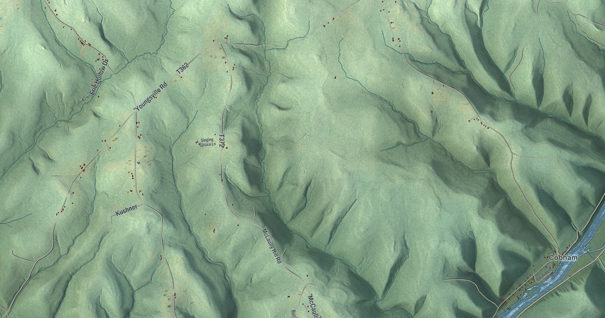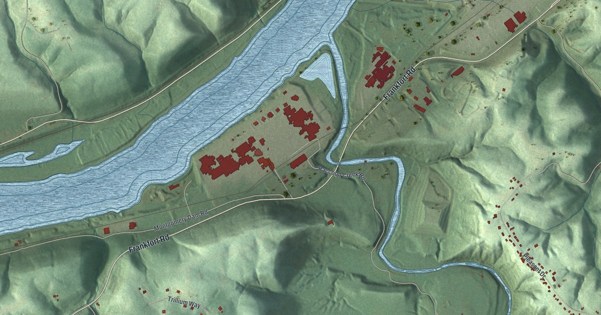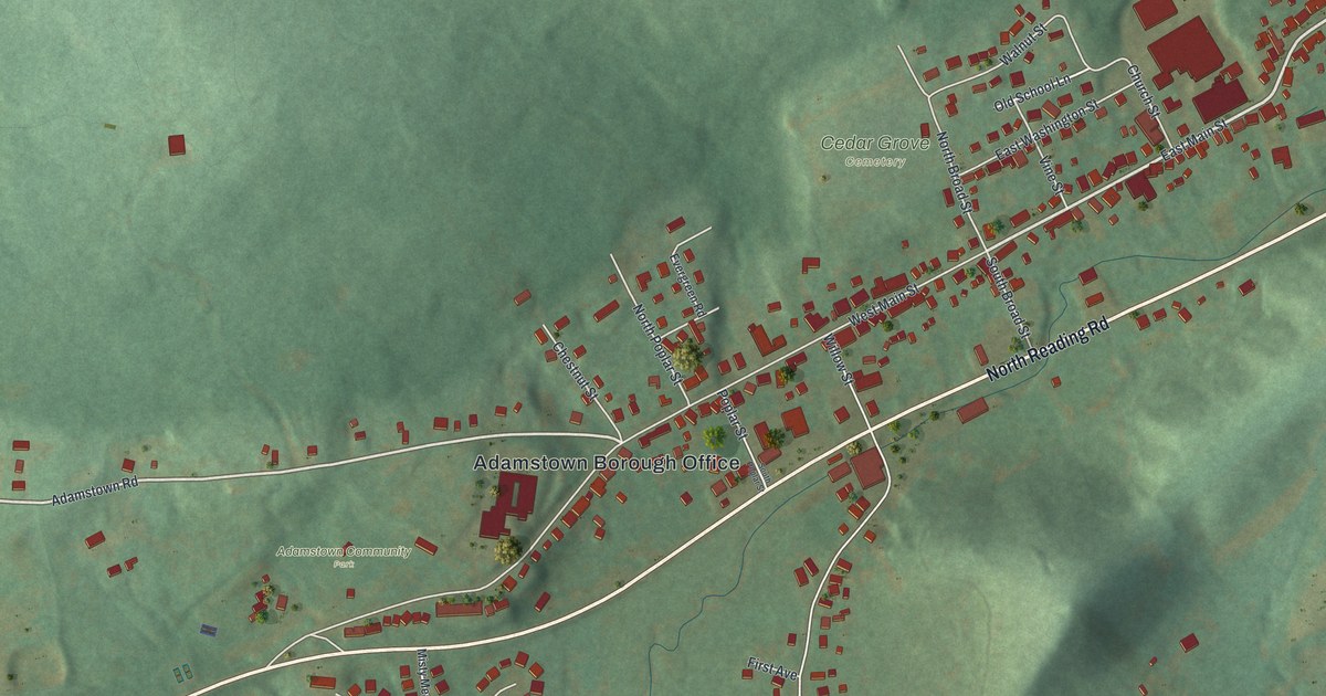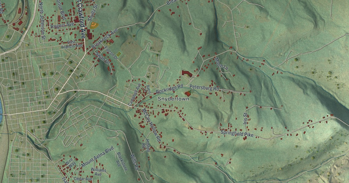
If you grew up in Poplar Grove, Snydertown or Broad Ford, or still have family out on Springfield Pike, this map is for you. It's a modern aerial view of Connellsville Township in Fayette County, Pennsylvania, made from modern data and given a vintage look. A wide blue river bends down the left side of the sheet. Red building shapes gather along East Crawford Avenue and Memorial Boulevard. To the east, shaded hills and hollows climb toward Fire Tower Road.
Poplar Grove, Snydertown and the Roads Around Them
On this map you'll find East Crawford Avenue, Memorial Boulevard, Springfield Pike, Poplar Grove, Snydertown, Coldbrook, Broad Ford, Broadford Road, Isabella Road, Mount Aetna Boulevard, Rockridge Road, Petersburg Road, McCoy Hollow Road, Narrows Road, Fire Tower Road, and more. Each red shape is a building, so zoom in on the preview and look for yours.
The Connellsville Coke Region
The Connellsville Coke Region is one of the best-known names in Fayette County history. A state historical marker tells the story of the Connellsville Coke Region, in Fayette and Westmoreland counties. The region's coal came from the Pittsburgh vein. It was high quality, and it made superior coke. Coke is a refined form of coal, and it was used to smelt iron. Workers baked it in beehive ovens from the mid-1800s to the 1970s. Immigrant and migrant workers settled in the region after the Civil War to do that work. In time, newer ovens were built near the steel mills. The beehives fell out of use.
What the 1882 History Called the Connellsville Coal Basin
The 1882 History of Fayette County gave the land its own name. It called this valley the "Connellsville Coal Basin." The book said the basin reached west to the "barren measures," about four miles west of the county seat. On the map, you can see how the land lies. Homes and streets sit low near the river and around Poplar Grove. The ground rises in long, shaded ridges to the east, out past Snydertown and Springfield Pike.
Connellsville Township From Broad Ford to Fire Tower Road
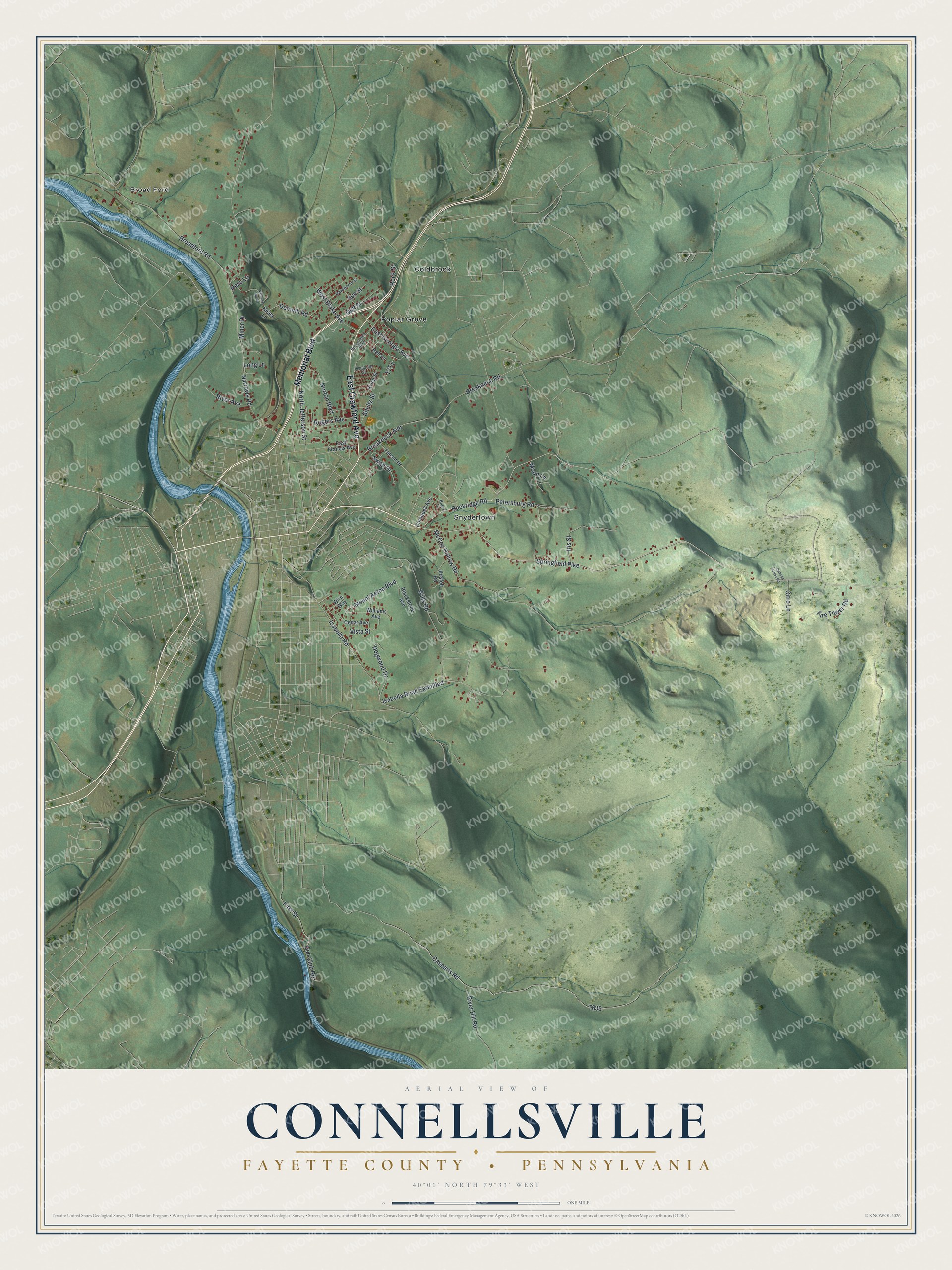
Created by KNOWOL in 2026, this print shows the township from above in soft greens, with a blue river, shaded hills and small red buildings. The title panel reads "Aerial View of Connellsville," then "Fayette County • Pennsylvania," and 40°01' North 79°33' West.
It fits a living room, a den or a hallway where family photos hang. It's a good gift for someone who grew up in Poplar Grove, or for anyone who moved away from Connellsville and misses these hills. Open the preview and look for the roads you know. See sizes and frames for the Connellsville, Fayette County map.