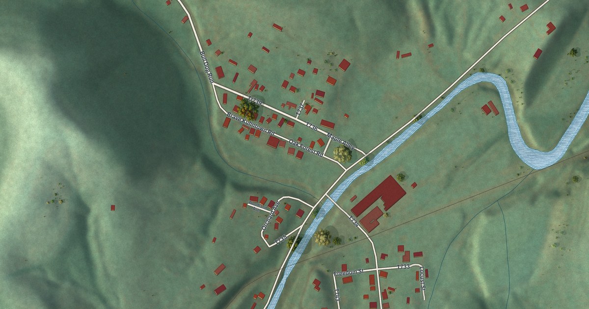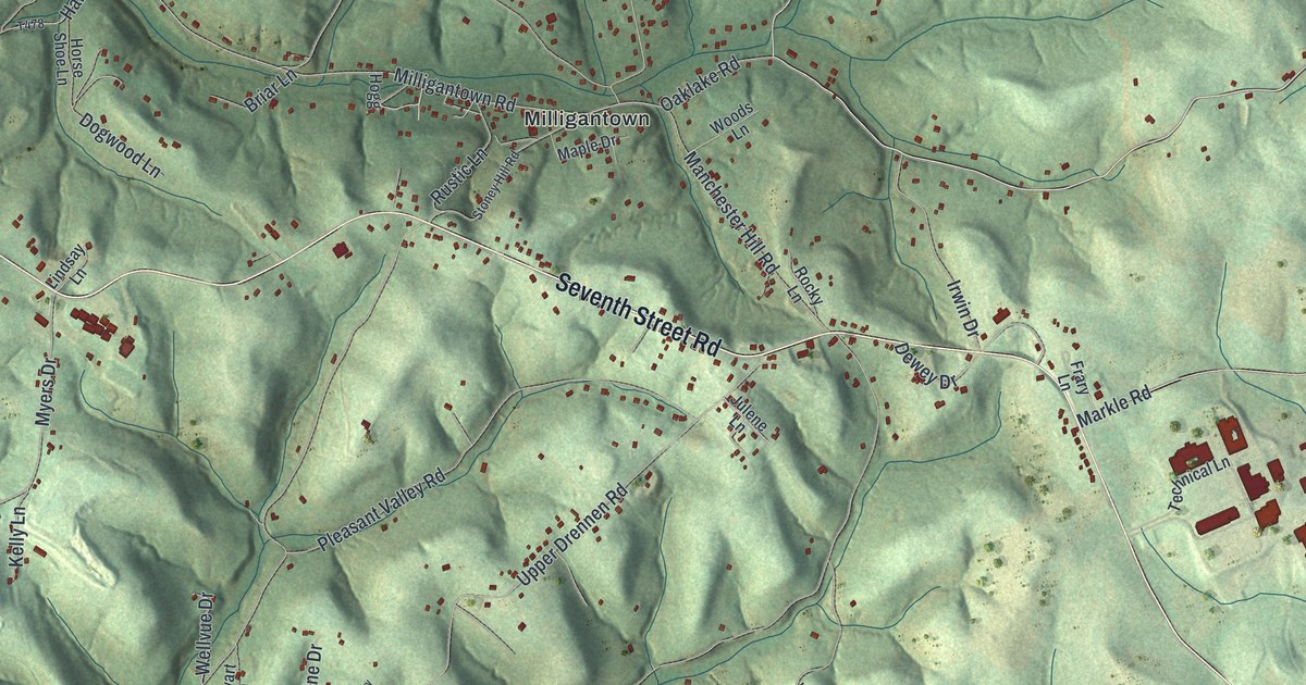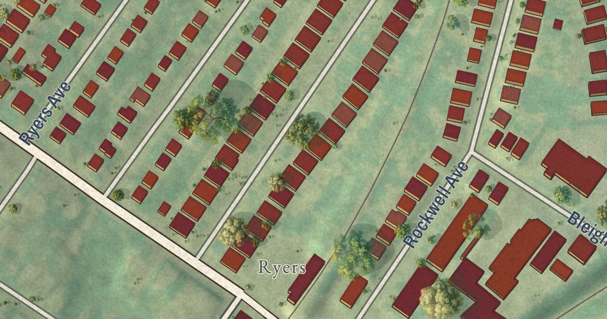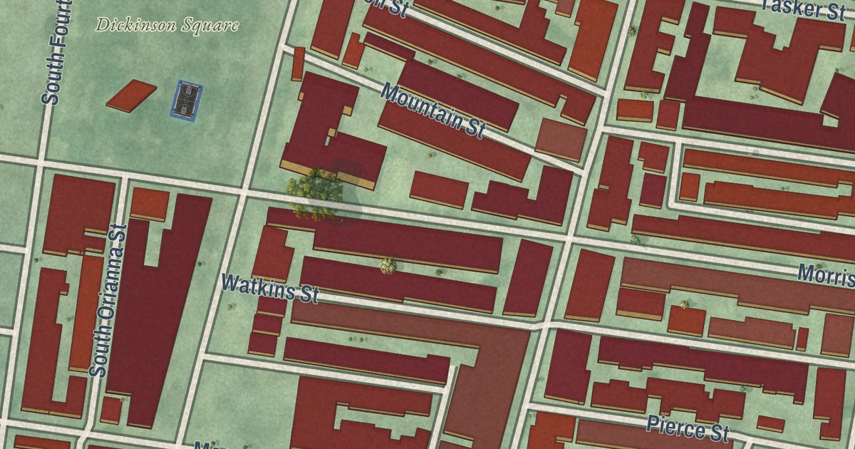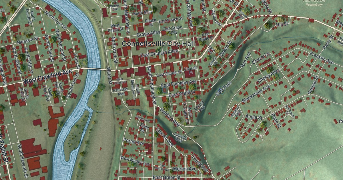
This beautifully detailed map of Connellsville City, Pennsylvania was created in 2026 using aerial imagery combined with modern topographical, census, street and landmark data. It’s a one-of-a-kind view of Connellsville City that combines accurate data with a vintage aesthetic. The map shows every building in its true location, many of the roads carry their names, and the shaded topographic relief shows the shape of the land.
Explore an aerial view of Connellsville City, Pennsylvania
On the map you’ll find Connellsville City Hall, Hill Grove Cemetery, Greenwood Heights, New Haven, North Manor, Snydertown, and Wheeler, along with East Crawford Avenue, West Crawford Avenue, Morrell Avenue, South Eighth Street, Blackstone Road, and more. If you look closely you can even find your house accurately drawn in its correct location. Zoom in on the preview to look for yours.
Take a closer look at the Connellsville City map
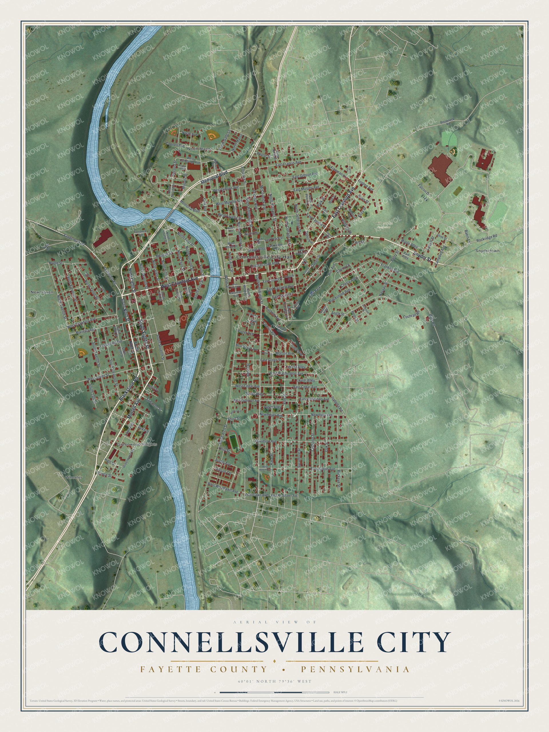
Street and place names on the Connellsville City, Pennsylvania map
These names are printed on the map of Connellsville City, Pennsylvania.
Places: Connellsville City Hall, Hill Grove Cemetery, Wheeler, New Haven, North Manor, Snydertown, Greenwood Heights and East Park.
Streets and roads: East Crawford Avenue, West Crawford Avenue, Morrell Avenue, South Eighth Street, Blackstone Road, Memorial Boulevard, Snyder Street, South Pittsburgh Street, Sycamore Street, Newmeyer Avenue, Vanderbilt Road, Vine Street.
More street names, A to Z
Aetna Street, Angle Street, Austin Avenue, Baers Lane, Baldwin Avenue, Beech Street, Blackstone Avenue, Breakneck Road, Buckeye Street, Campbell Avenue, Cherry Alley, Cherry Lane, Chestnut Street, Church Place, Cochran Road, Connell Avenue, Davidson Avenue, Davis Street, Decatur Avenue, Duke Street, East Apple Street, East Austin Avenue, East Cedar Avenue, East Church Place, East Fairview Avenue, East Fayette Street, East Francis Avenue, East Gibson Avenue, East Grape Alley, East Green Street, East Morton Avenue, East Murphy Avenue, East Orchard Alley, East Patterson Avenue, East Peach Street, East South Street, East Washington Avenue, East Woodlawn Avenue, Edna Street, Eliza Street, Fairview Avenue, Falcon Drive, Falls Avenue, Frank Gallo Lane, Franklin Avenue, Freeman Lane, Frisbee Avenue, Front Street, Gallatin Avenue, Gibson Terrace, Grape Alley, Greely Avenue, Haas Avenue, Highland Avenue, High Street, Hill Street, Houston Avenue, Isabella Road, Jefferson Street, Johnson Avenue, Lang Street, Laurel Alley, Lawn Avenue, Leisenring Avenue, Lincoln Avenue, Lincoln Row, Locust Avenue, Locust Street, Louden Street, Madison Avenue, Maple Alley, Maple Street, Marietta Avenue, McCormick Avenue, Meason Street, Morton Avenue, Mountz Street, Nassau Street, Newmyer Avenue, North Alley, North Arch Street, North Avenue, North Cottage Avenue, North Eighth Street, North Eleventh Street, North Fifth Street, North First Street, North Fourth Street, North Jefferson Street, North Meadow Lane, North Ninth Street, North Penn Street, North Pittsburgh Street, North Prospect Street, North Second Street, North Seventh Street, North Sixth Street, North Tenth Street, North Third Street, North Twelfth Street, Oak Street, Ogden Avenue, Ohio Street, Olive Street, Pain Alley, Park Street, Patch Alley, Peach Street, Penn Street, Perry Street, Peter Street, Pinnacle Alley, Pittsburgh Street, Poplar Alley, Poplar Street, Porter Avenue, Prince Street, Queen Street, Race Street, Robbins Street, Rockridge Road, Run Avenue, Sampson Street, Second Street, Short Street, South 13th Street, South Alley, South Arch Street, South Eleventh Street, South First Street, South Fourth Street, South Meadow Lane, South Ninth Street, South Prospect Street, South Seventh Street, South Sixth Street, South Tenth Street, South Third Street, South Twelfth Street, Stahl Square, Torrance Avenue, Trump Avenue, Vanderbuilt Road, Virginia Avenue, Waldorf Alley, Water Street, Watt Street, West Austin Avenue, West Cedar Avenue, West Church Place, West Cummings Avenue, West Fayette Street, West Gibson Avenue, West Green Street, West Morton Avenue, West Murphy Avenue, West Patterson Avenue, West Peach Street, West Woodlawn Avenue, Wills Road, Witter Avenue, Wood Alley, Woodlawn Avenue, York Avenue.
See the Connellsville City, Pennsylvania map on a wall
The Connellsville City, Fayette County map as an 18 x 24 inch print in a black frame.

This beautifully detailed map of Connellsville City makes an attractive addition to your office, library, or den, and it can even be used to teach children the geography and history of the area. It also makes a great gift for anyone who grew up in Connellsville City or moved away. When you’re done exploring, click here to get your copy of the Connellsville City map.