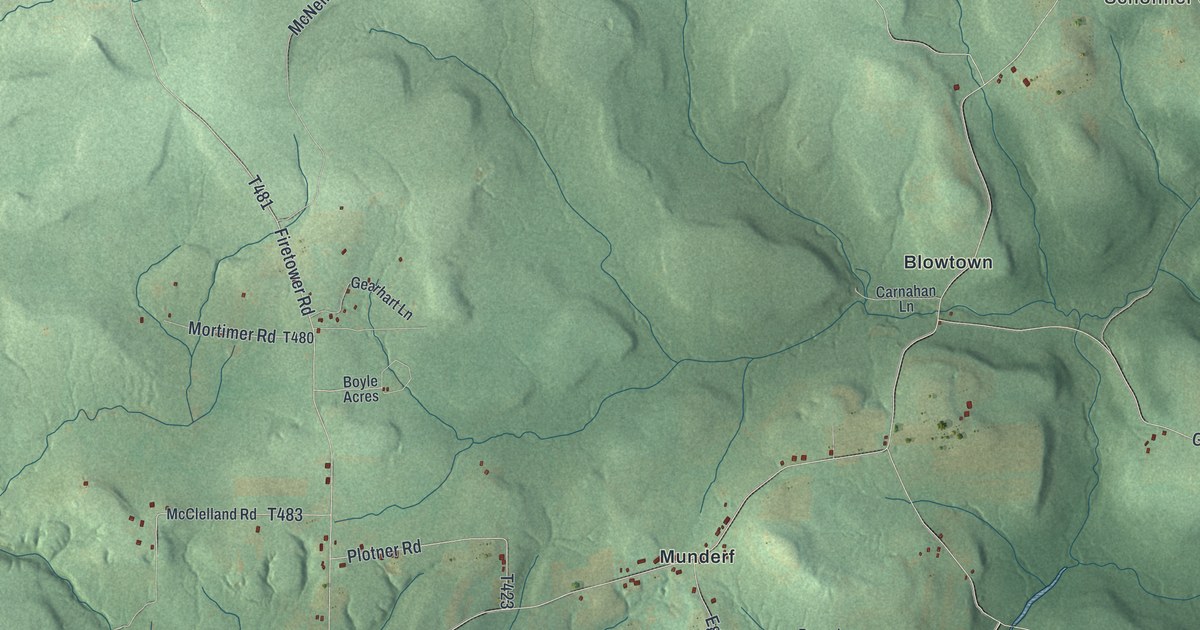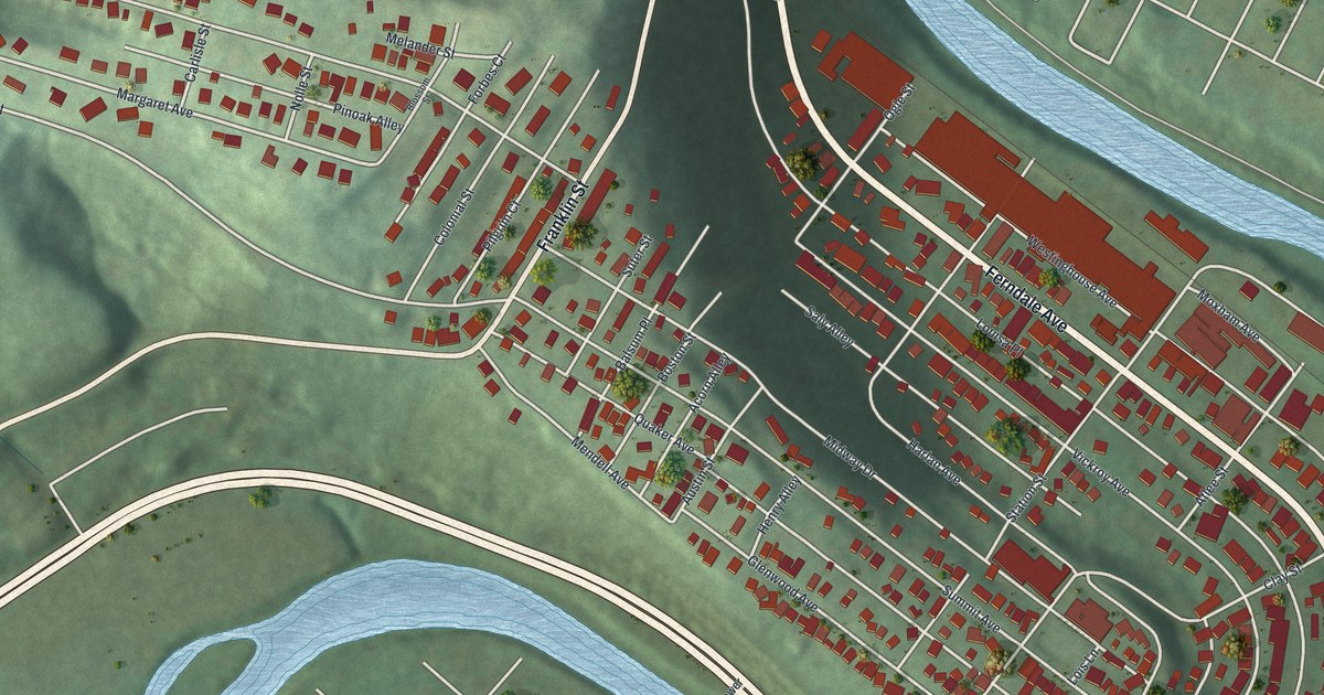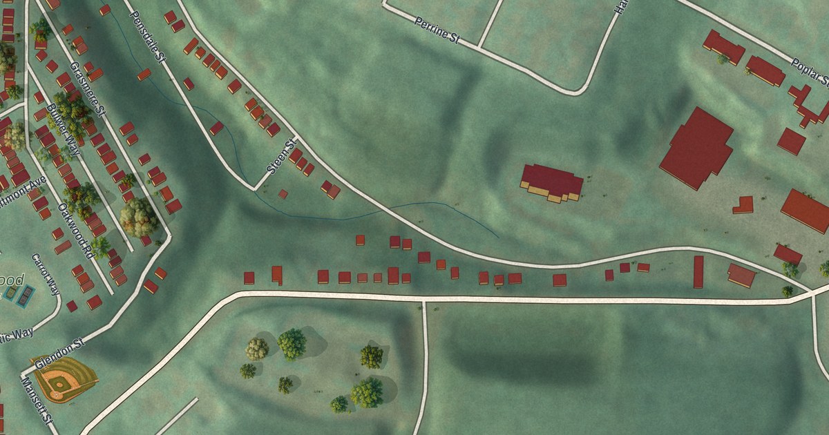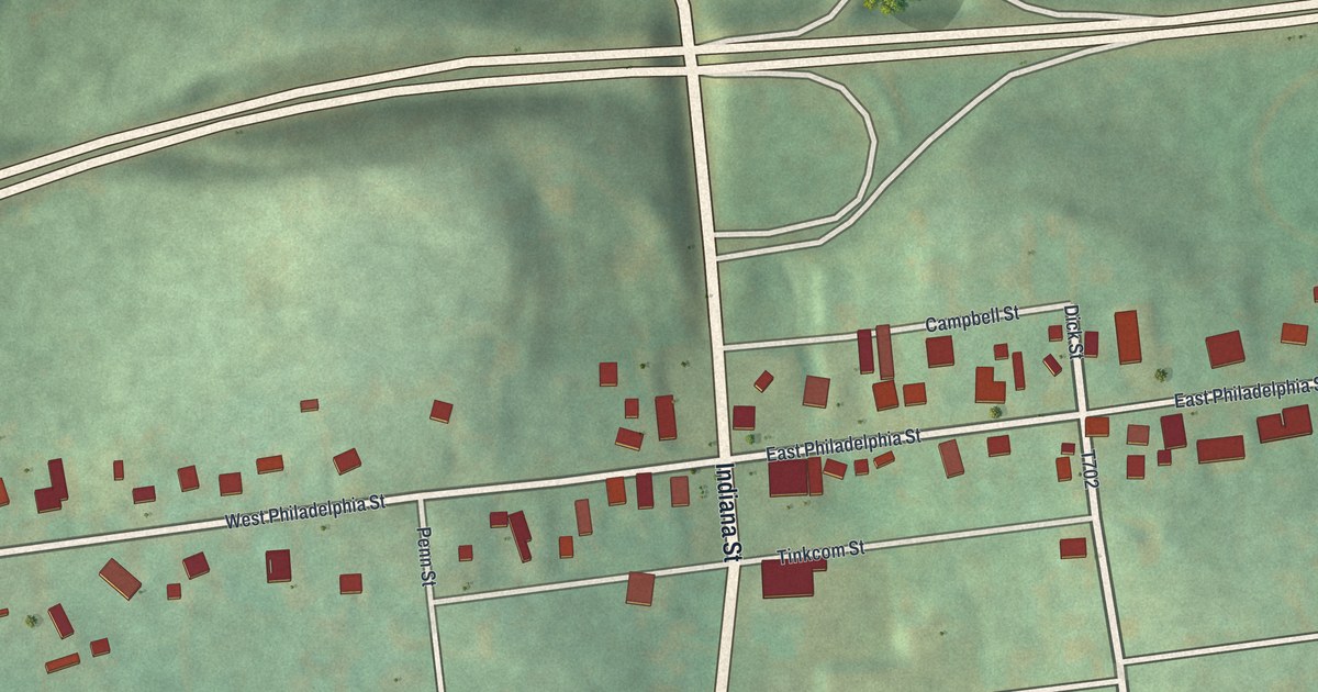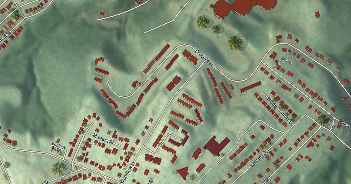
If you grew up on Steuben Street or played ball at Dunbar Park, this map was made with you in mind. It's a modern aerial view of Crafton Heights, a Pittsburgh neighborhood in Allegheny County, Pennsylvania, built from modern data and given a vintage look. Red rooftops fill the hilltop blocks. A deep, wooded hollow cuts through the middle. You can spot a ball field near Chartiers Avenue at the top and another at Dunbar Park near the bottom.
Steuben Street, Dunbar Park and the hilltop blocks
On this map you'll find Steuben Street, Chartiers Avenue, Dunbar Park, Elliott, Crucible Street, Greenway Drive, Idola Street, Round Top Street, Hollywood Street, Oakmont Street, Norwalk Street, Cedarbrook Drive, Winlock Avenue, Merryfield Street, and more. Each red shape is a building, so zoom in on the preview and look for yours.
A 1777 hospital on Steuben Street
Look for Steuben Street near the middle of the map. The same road carries a piece of 1777 history out in neighboring Crafton, where a state marker stands at Steuben Street and Linden Street, across from Crafton Park. It tells of Hand's Hospital. General Edward Hand had it built in 1777 to care for the troops at Fort Pitt. The marker calls it an isolation hospital. The first building was a two-story log house. Blockhouses stood around it for protection.
Another listed landmark sits along Chartiers Avenue. Langley High School, at Sheraden Boulevard and Chartiers Avenue, was added to the National Register of Historic Places in 1986. Chartiers Avenue is printed along the top of this map.
Keep Crafton Heights and Dunbar Park close
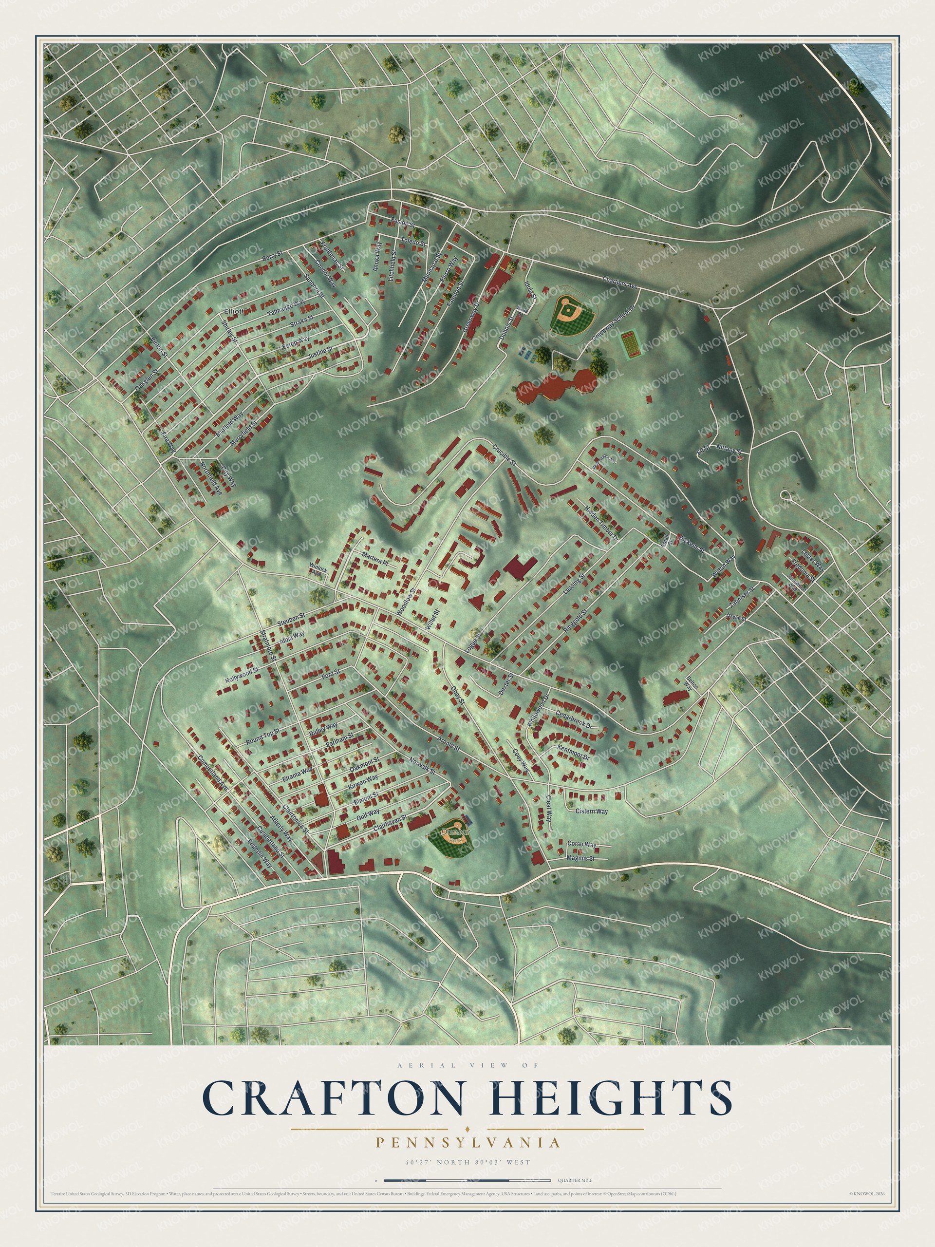
Created by KNOWOL in 2026, the print shows Crafton Heights from above in soft greens, with red buildings, pale streets and shaded hills. The title panel reads Aerial View of Crafton Heights, Pennsylvania, with the coordinates 40°27' North 80°03' West.
It fits a living room, a hallway or a home office. It's a kind gift for someone who grew up near Dunbar Park or moved away from Steuben Street. Open the preview and find your own block. See sizes and frames for the Crafton Heights map.