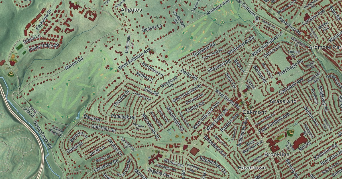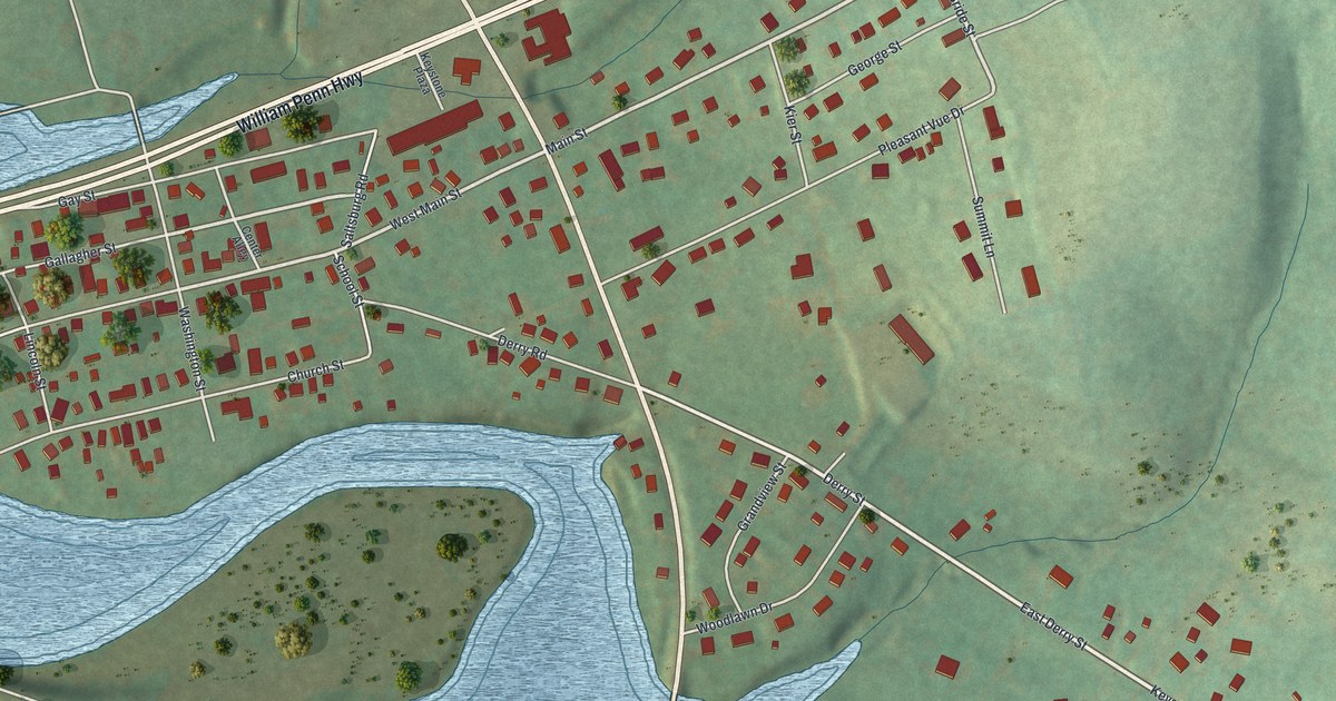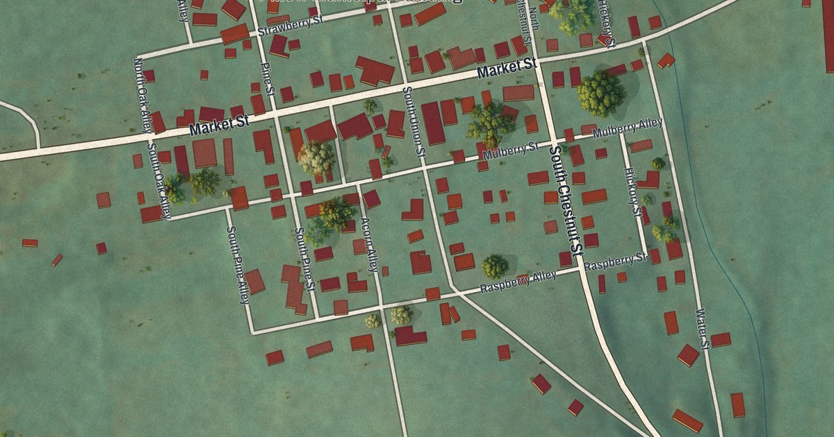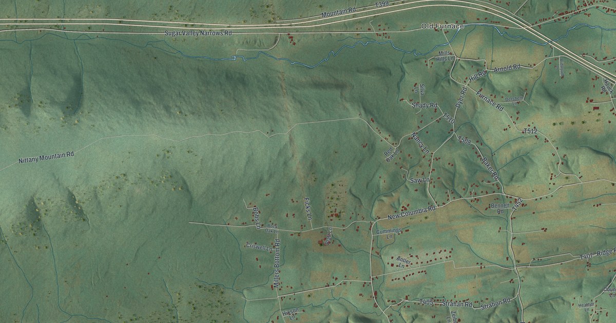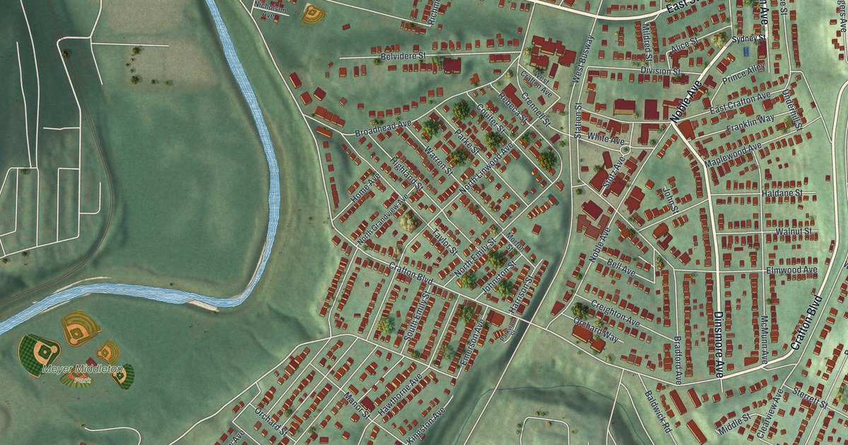
If you grew up on Steuben Street, or you still have family near Crafton Boulevard, this map is for you. It's a modern aerial view of Crafton in Allegheny County, Pennsylvania, made with modern data and given a vintage feel. You'll see green hills with soft shadows and a blue creek that winds down the left side. Streets fill the middle of the sheet, lined with small red buildings. The ball fields of Meyer Middleton Park sit by the water, and Idlewood spreads out near the bottom.
Steuben Street, Noble Avenue and Your Block
On this map you'll find West Steuben Street, East Steuben Street, Crafton Boulevard, Noble Avenue, Union Avenue, Dinsmore Avenue, Chartiers Avenue, Meyer Middleton Park, Idlewood, Bradford Avenue, Hawthorne Avenue, Elmwood Avenue, Stotz Avenue, Keever Avenue, and more. Each red shape is a building, so zoom in on the preview and look for yours.
General Hand's 1777 Hospital on Steuben Street
In 1777, this ground cared for soldiers. A state historical marker says General Edward Hand built a hospital here in 1777. It was an isolation hospital built to care for troops at Fort Pitt. The first building was a log house two stories tall. Blockhouses stood around it for protection. Today the marker stands on Steuben Street at Linden Street, across from Crafton Park. On the map, look along West Steuben Street near the top of the sheet.
Crafton has a landmark on the National Register of Historic Places too. It's the Campbell Building at 3 Crafton Square, added to the list in 1988. So the town keeps two eras close together: a frontier hospital from the 1700s and a National Register building on Crafton Square.
Keep Crafton and Steuben Street Close

Created by KNOWOL in 2026, this print shows Crafton from above. Shaded green hills roll across the sheet, a blue creek curves down the left side, and red buildings crowd the streets in the middle. The title panel at the bottom reads "Aerial View of Crafton, Pennsylvania" with the coordinates 40°26' North 80°04' West.
It fits a living room, a front hall or a home office. It's a good gift for someone who grew up near Meyer Middleton Park, or who moved away from Idlewood and still calls Crafton home. Open the preview and find your street. See sizes and frames for the Crafton map.