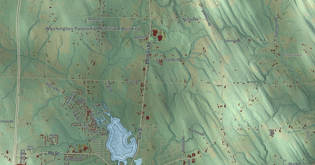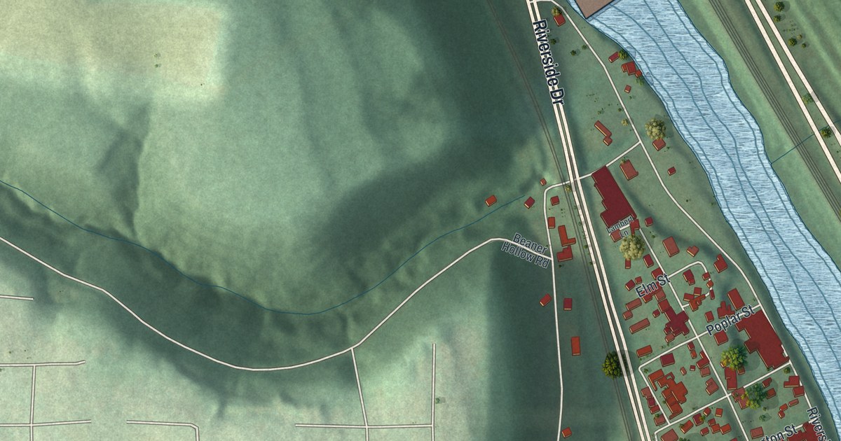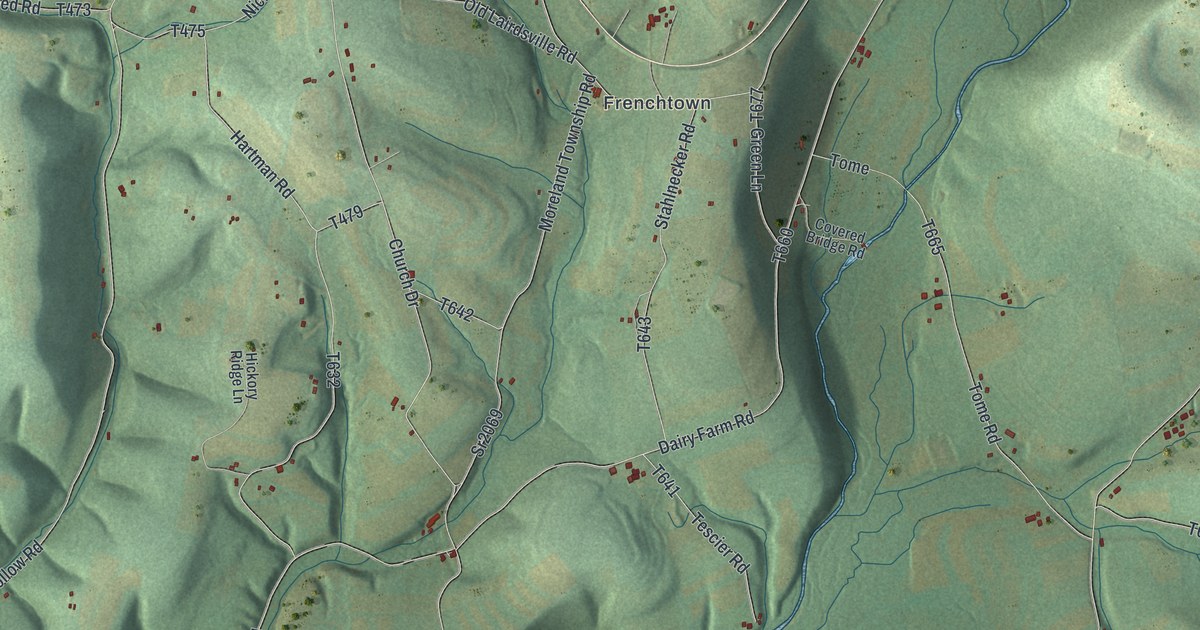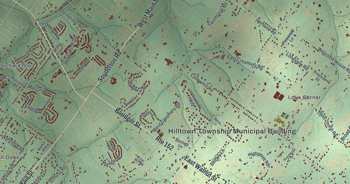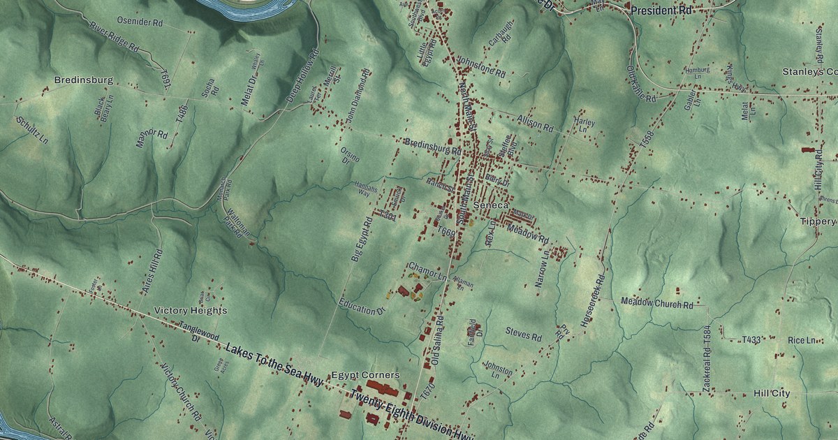
If you grew up around Seneca or Egypt Corners, or you still drive the Lakes To the Sea Highway home, this map is for you. It's a modern aerial view of Cranberry Township in Venango County, Pennsylvania, built from current USGS and Census Bureau data and given a vintage look. Green hills rise and fold across the whole sheet. A wide blue river winds along the top and down the left side. In the middle, the red shapes of buildings gather around Seneca, and small places like Bredinsburg, Hill City and Tippery sit out in the hills.
Bredinsburg, Egypt and Hill City: Cranberry's oil fields
On this map you'll find Seneca, Egypt Corners, Lakes To the Sea Highway, Twenty-Eighth Division Highway, Riverside Drive, Bredinsburg Road, Hill City Road, Meadow Church Road, Education Drive, Victory Heights, Rockmere, Maple Shade, Tippery, State Game Lands Number 45, and more. Each red shape is a building, so zoom in on the preview and look for yours.
Oil shaped Cranberry's past.The History of Venango County, printed in 1890, says the township ranked second in the county only to Oil Creek. The first wells went down near South Oil City and at a spot called Pinoak. Later, the book says, the Bredinsburg district "was the scene of remarkable activity." Then came the Egypt, Tarkiln and Hill City districts, in that order. Those names are still here. Look for Bredinsburg in the upper left, Egypt Corners in the middle and Hill City to the right. The book spells it Tarkiln, and today's map has Tarklin Road. The Astral Oil Works stood at Astral station on the Allegheny Valley railroad. It made oil for lamps and oil for machines. Look for Astral in the lower left.
How Halls Run and Sage Run got their names
The same book explains some older names. Samuel and Edward Hall were born in Ireland. They helped build the Susquehanna and Waterford turnpike, started in 1818 and finished in two years. The Halls built a mill on a stream, and it took their name. Halls Run Road is on the map today. Sage Run was named for Joel Sage, who came to the county in 1807 and settled on it. Look for Upper Sage Run Road too. Slab Furnace is printed on the map as well. The book calls Slab furnace the oldest of the township's iron furnaces. It was started in 1832 and done in 1833. Its inner wall was rough stone, wrapped in wooden slabs, with sand packed in between.
A map of Seneca, Egypt Corners and the Cranberry hills
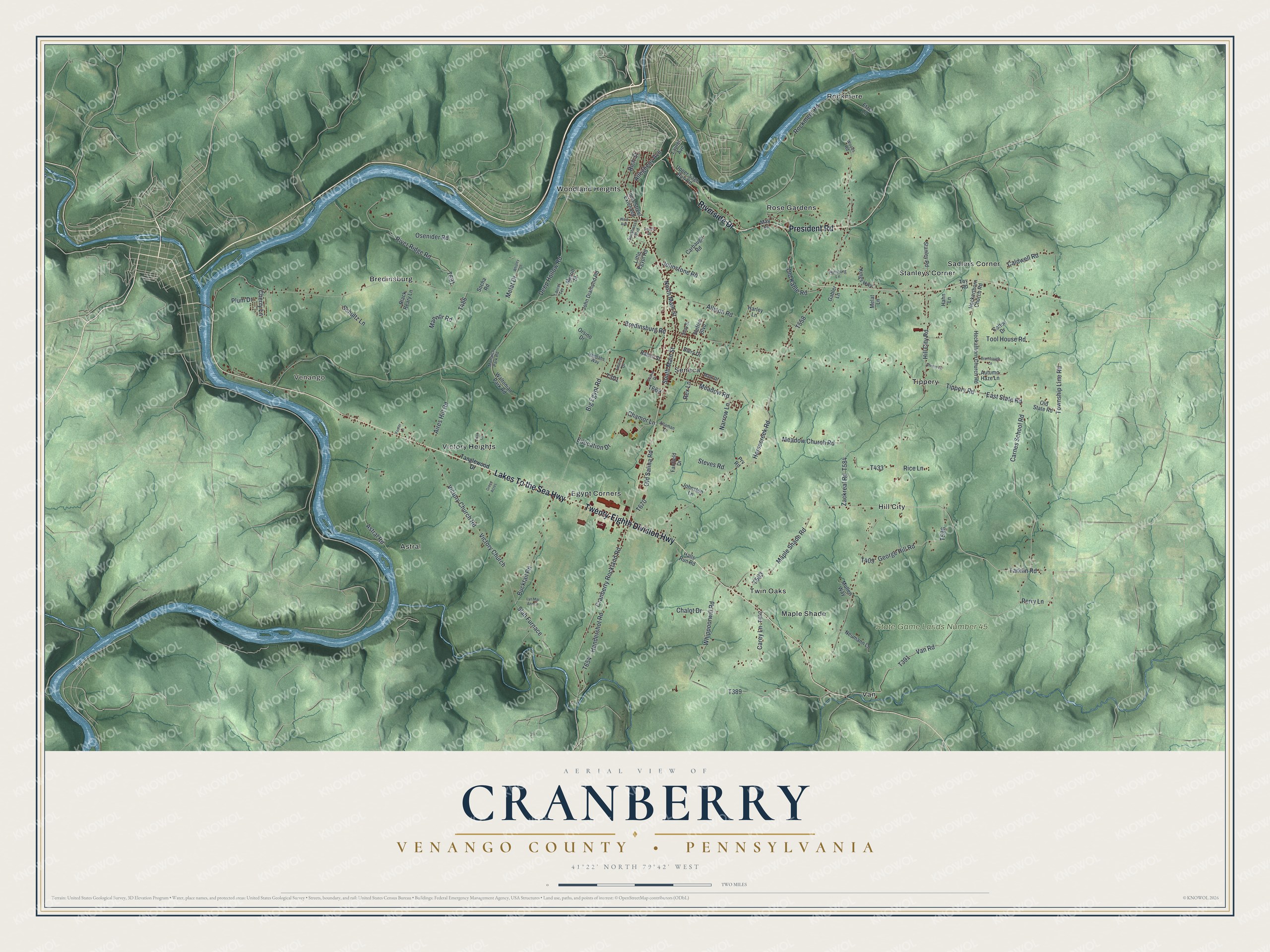
Created by KNOWOL in 2026. The print shows Cranberry from above, with shaded green hills, thin gray roads and a wide blue river winding along the top and left. Buildings show as small red shapes. The title panel reads "Aerial View of Cranberry," then "Venango County • Pennsylvania," then 41°22' North 79°42' West.
It fits a den, a hallway, a family room or a hunting camp wall. It's a good gift for someone who moved away from Seneca, or for a family whose people worked the old Bredinsburg and Hill City oil fields. Open the preview and find your road. See sizes and frames for the Cranberry, Venango County map.