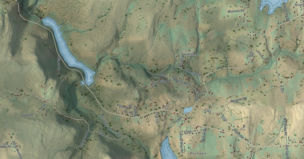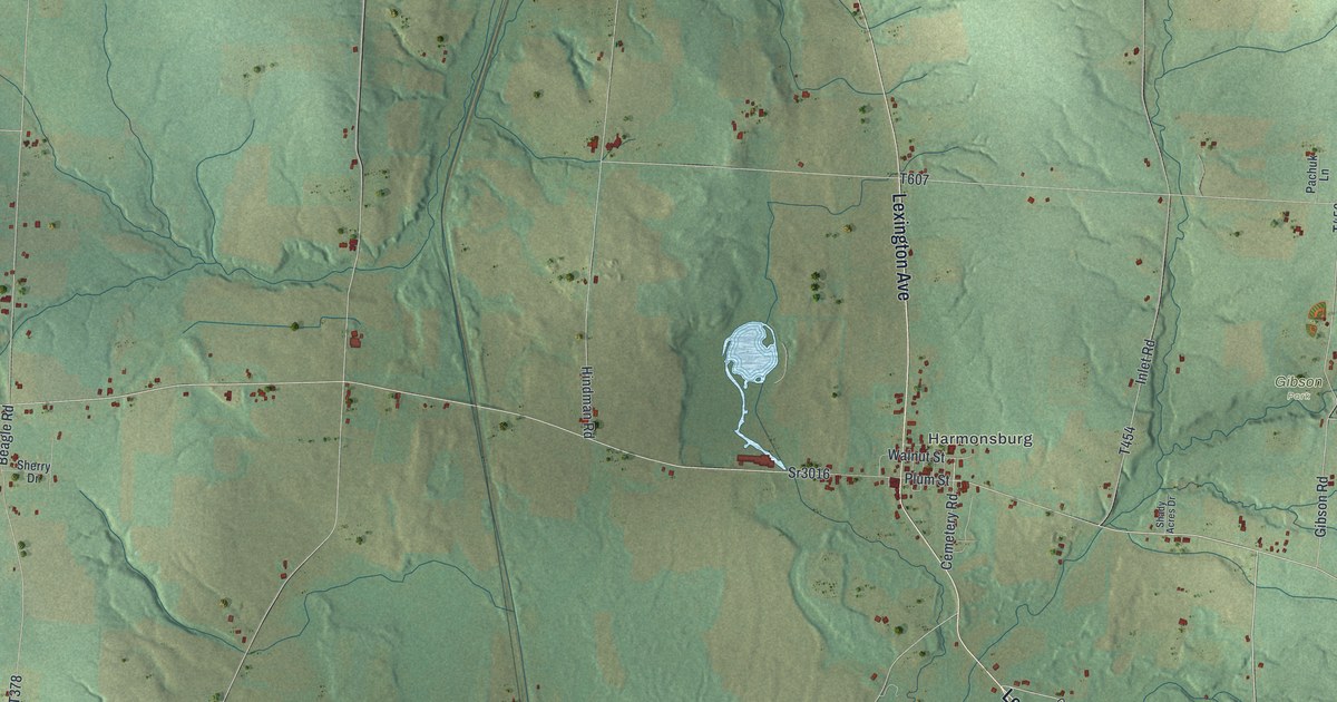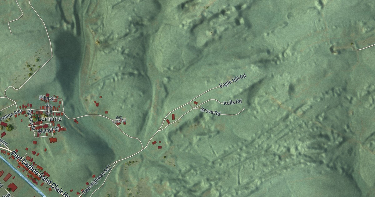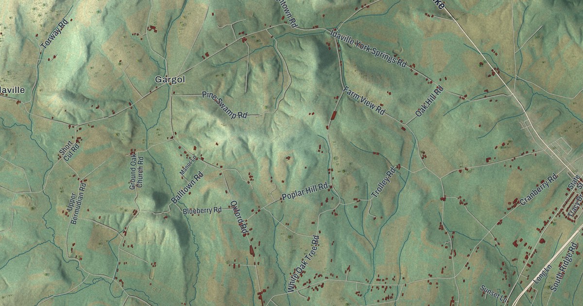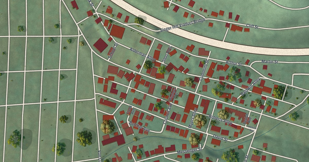
If you grew up on Bedford Street, Dale Avenue or one of the short streets up the hill, this map is for you. It's a new aerial view of Dale in Cambria County, Pennsylvania, made from modern data and given a vintage look. The small borough sits in a tight wedge of red rooftops, with the Johnstown street grid spread out to the left. A wide highway curves across the top, a blue river bends through the lower left corner, and green hills rise on the right.
Bedford Street, Dale Avenue and the Singer Hill Viaduct Bridge
On this map you'll find Bedford Street, Dale Avenue, Council Avenue, Civic Avenue, School Street, Von Lunen Road, the Singer Hill Viaduct Bridge, Pioneer Avenue, Flood Avenue, Messenger Street, Cliff Street, Martin Street, Hummel Street, Alderman Alley, and more. Each red shape is a building, so zoom in on the preview and look for yours.
The 1891 borough and the old line through Bedford Street
Dale became a borough on March 9, 1891. A court decree took it from Stony Creek Township. It grew fast. The town had 1,014 people in 1890 and 1,503 by 1900.
For years, though, nobody was quite sure where Dale ended and Johnstown began. The History of Cambria County, printed in 1907, says the old lines were always unclear and caused a lot of trouble. The true line ran right through some of the houses on the south side of Bedford Street. Bedford Street is printed on this map, so you can look for the homes along its south side and picture the old line running through them.
A print of Dale, from Bedford Street to Cliff Street
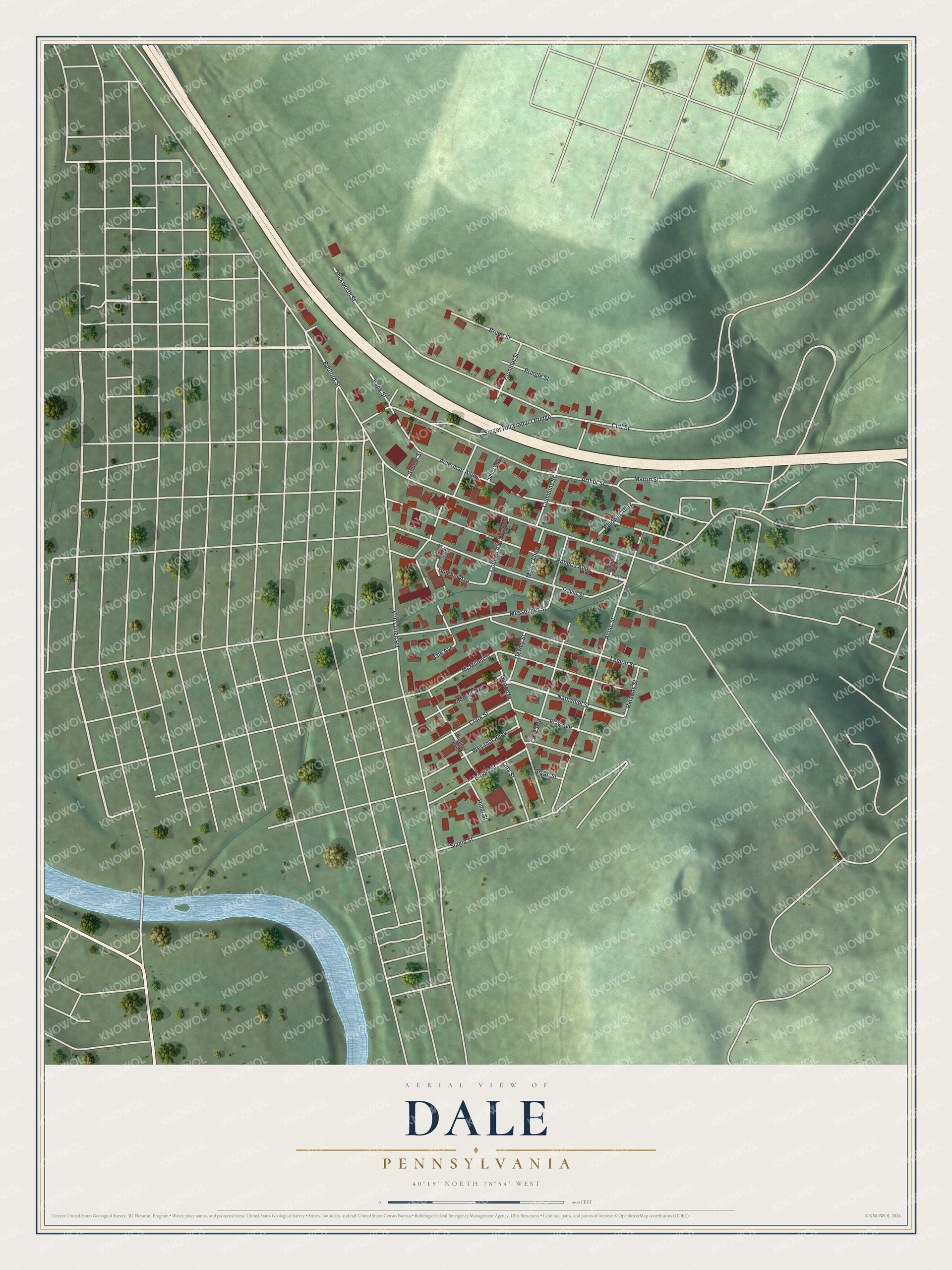
Created by KNOWOL in 2026, this print shows Dale from above in soft greens, with red buildings, pale roads, shaded hills and a blue river. The title panel at the bottom reads "Aerial View of Dale, Pennsylvania" with the coordinates 40°19' North 78°54' West.
It fits a kitchen, a front hall or a family room. It's a good gift for anyone who grew up near Bedford Street or Dale Avenue, and for family who moved away from Cambria County. Open the preview and find your street. See sizes and frames for the Dale map.