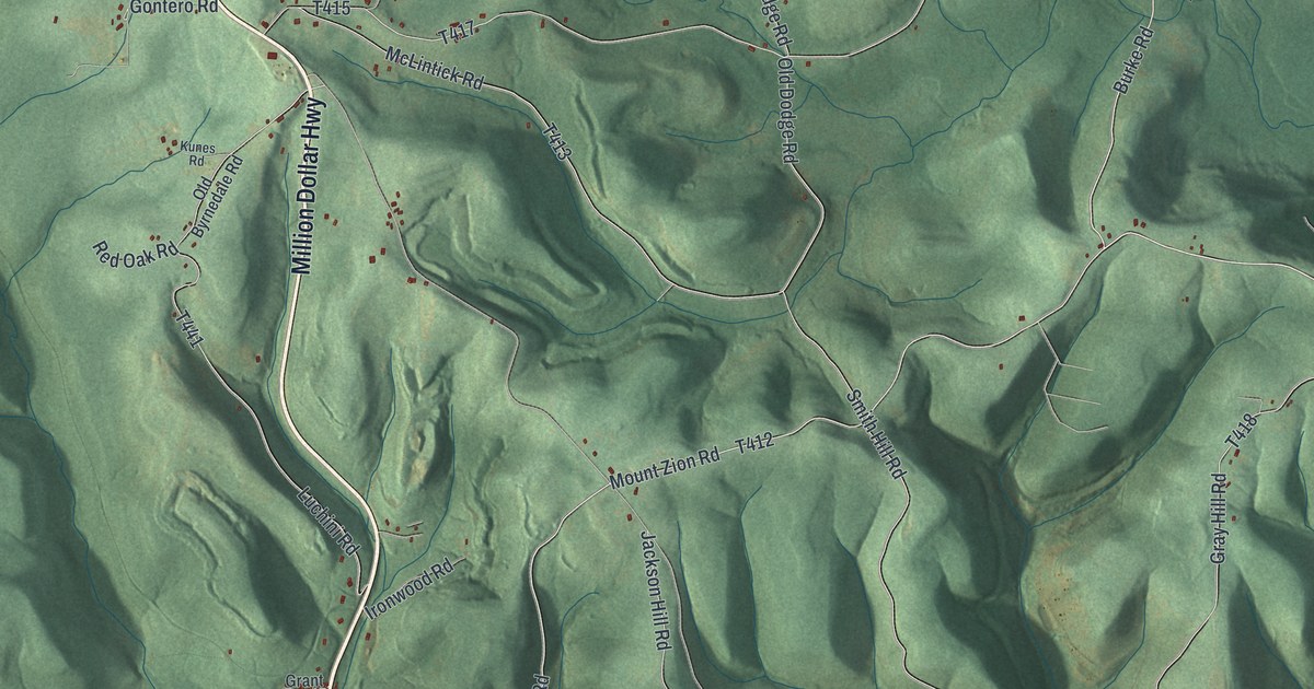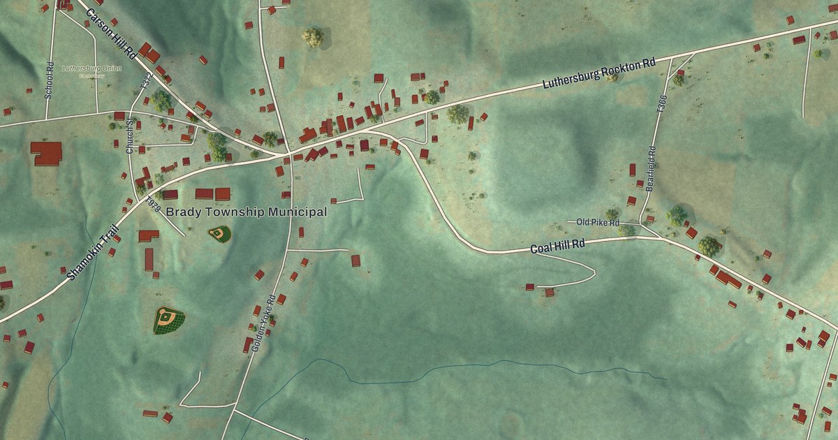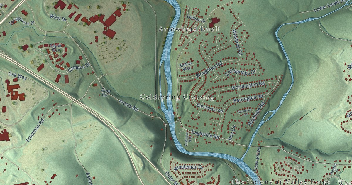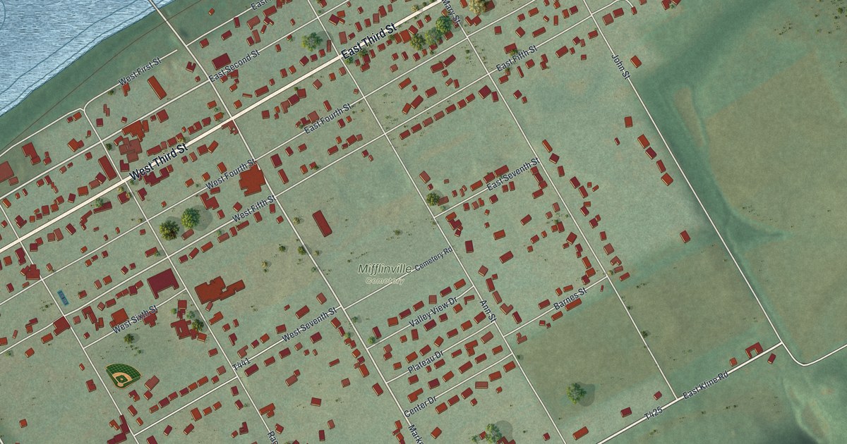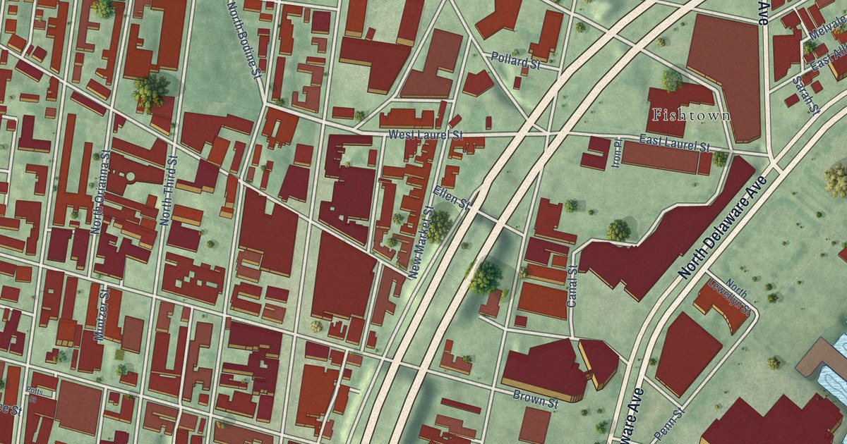
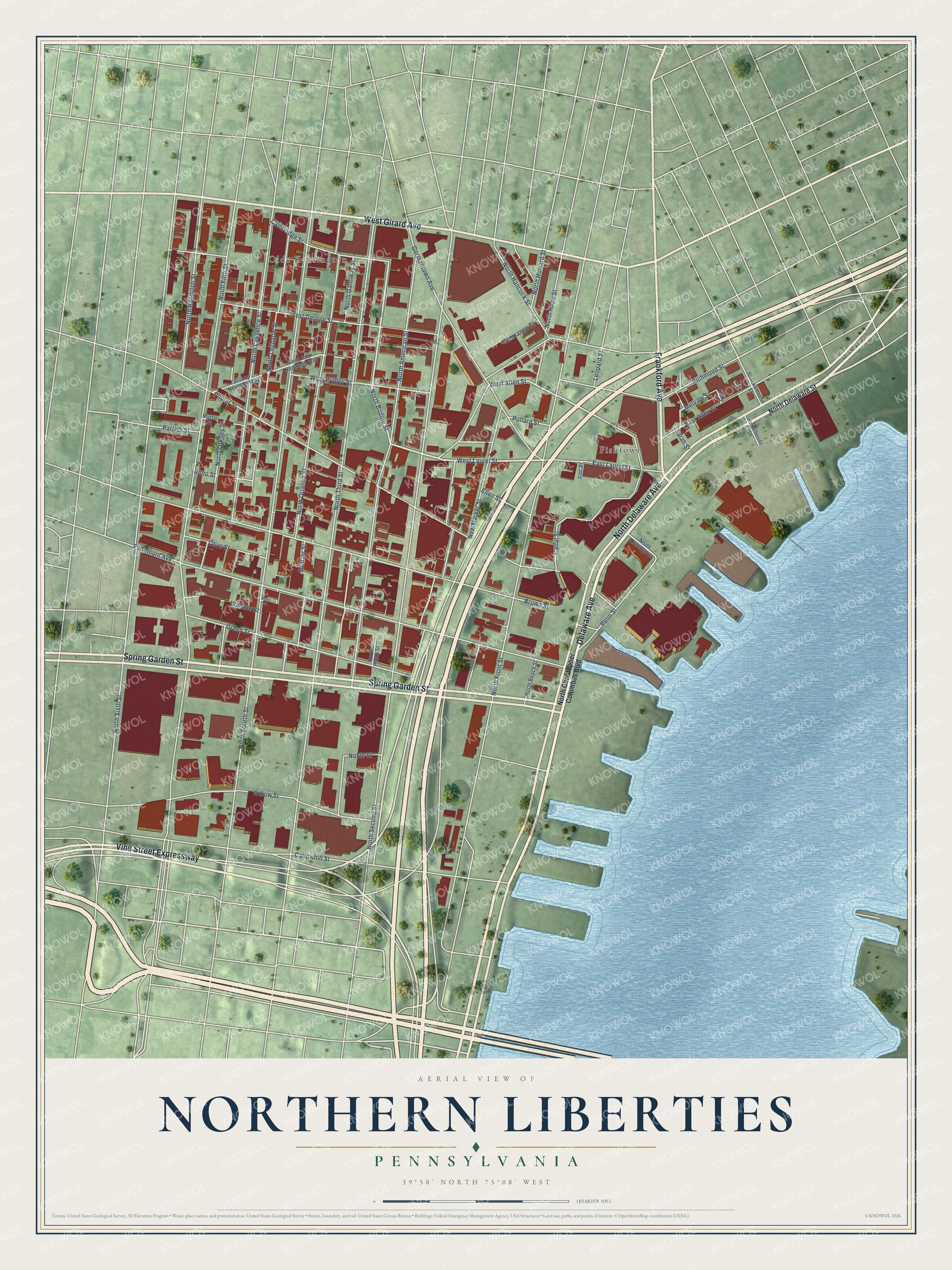
This beautifully detailed map of Northern Liberties, Pennsylvania was created in 2026 using aerial imagery combined with modern topographical, census, street and landmark data. It’s a one-of-a-kind view of Northern Liberties that combines accurate data with a vintage aesthetic. The map shows every building in its true location, many of the roads carry their names, and the shaded topographic relief shows the shape of the land.
Explore an aerial view of Northern Liberties, Pennsylvania
On the map you’ll find Fishtown and Olde Kensington, along with North Delaware Avenue, Delaware Avenue, Spring Garden Street, West Girard Avenue, Vine Street Expressway, Frankford Avenue, West Laurel Street, North Bodine Street, West Allen Street, East Allen Street, and more. If you look closely you can even find your house accurately drawn in its correct location. Zoom in on the preview to look for yours.
Did You Know?
From Internet Archive: "Two schools were opened in Southwark, two in Moyamensing, two in the Northern Liberties, one in Penn Township, and a model school, under the charge of Joseph Lancaster, in the City."
Northern Liberties is a place in Philadelphia County.
Take a closer look at the Northern Liberties map
Names on this map
These names are printed on this map.
Places: Fishtown and Olde Kensington.
Streets and roads: North Delaware Avenue, Delaware Avenue, Spring Garden Street, West Girard Avenue, Vine Street Expressway, Frankford Avenue, West Laurel Street, North Bodine Street, West Allen Street, East Allen Street, North Sixth Street, Melvale Street.
More street names, A to Z
Bishop Newman Way, Brady Street, Brown Street, Callowhill Street, Cambridge Street, Canal Street, Chenango Street, East Laurel Street, Ellen Street, Fairmount Avenue, Germantown Avenue, Green Street, Iron Place, Leopard Street, Mintzer Street, Myrtle Street, New Market Street, Noble Street, North American Street, North Beach Street, North Christopher Columbus Boulevard, North Delaware Street, North Fifth Street, North Fourth Street, North Front Street, North Galloway Street, North Hancock Street, North Hope Street, North Howard Street, North Lawrence Street, North Leithgow Street, North Lewellyn Street, North Orianna Street, North Orkney Street, North Philip Street, North Randolph Street, North Second Street, North Third Street, Olive Street, Parrish Street, Penn Street, Pollard Street, Poplar Street, Potts Street, Reno Street, Richmond Street, Saint John Neumann Way, Sarah Street, Shackamaxon Street, Sugarhouse Drive, Wallace Street, West George Street, West Wildey Street, Willow Street.
See it on a wall
The Northern Liberties map as a framed print. Swipe for more.


This beautifully detailed map of Northern Liberties makes an attractive addition to your office, library, or den, and it can even be used to teach children the geography and history of the area. It also makes a great gift for anyone with Northern Liberties roots. When you’re done exploring, click here to get your copy of the Northern Liberties map.