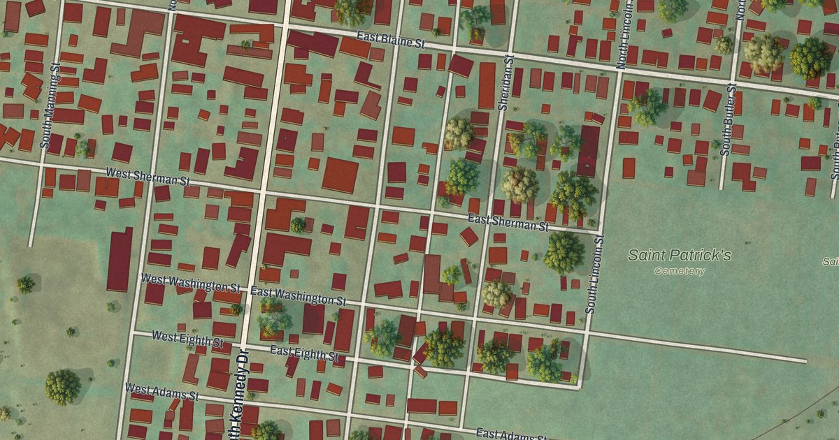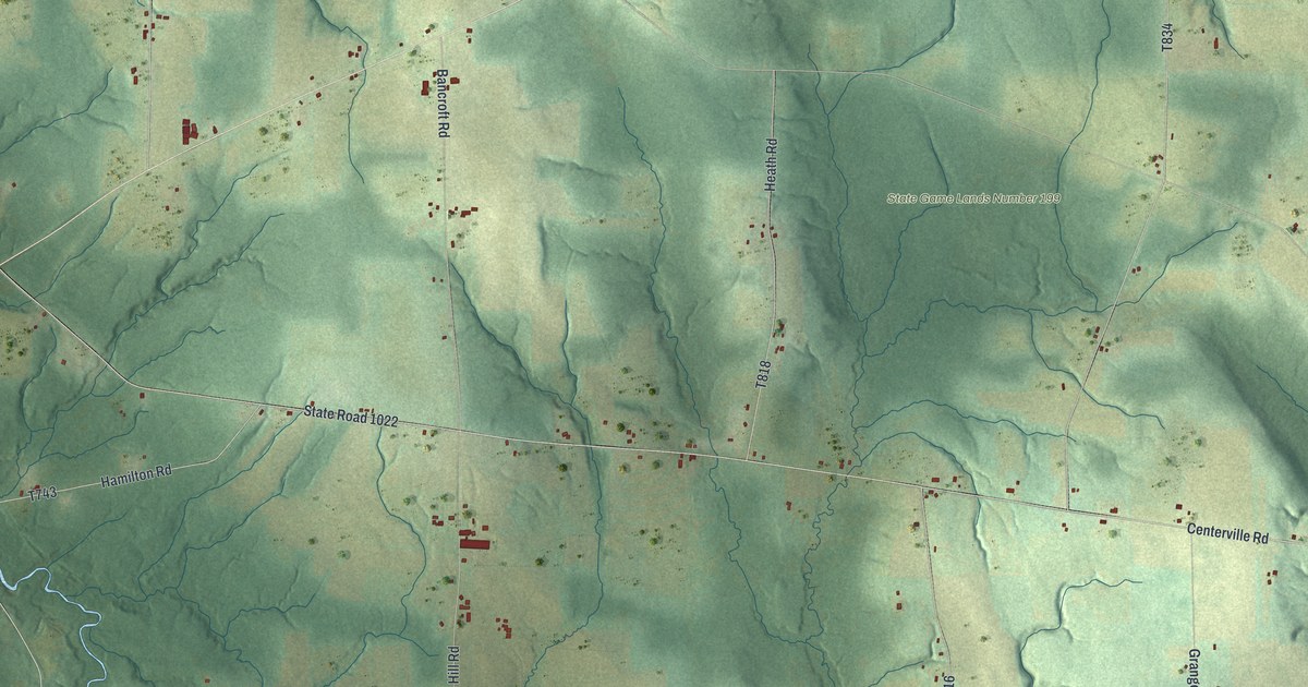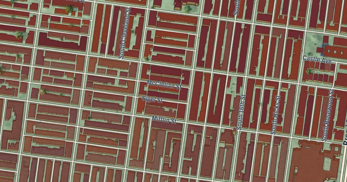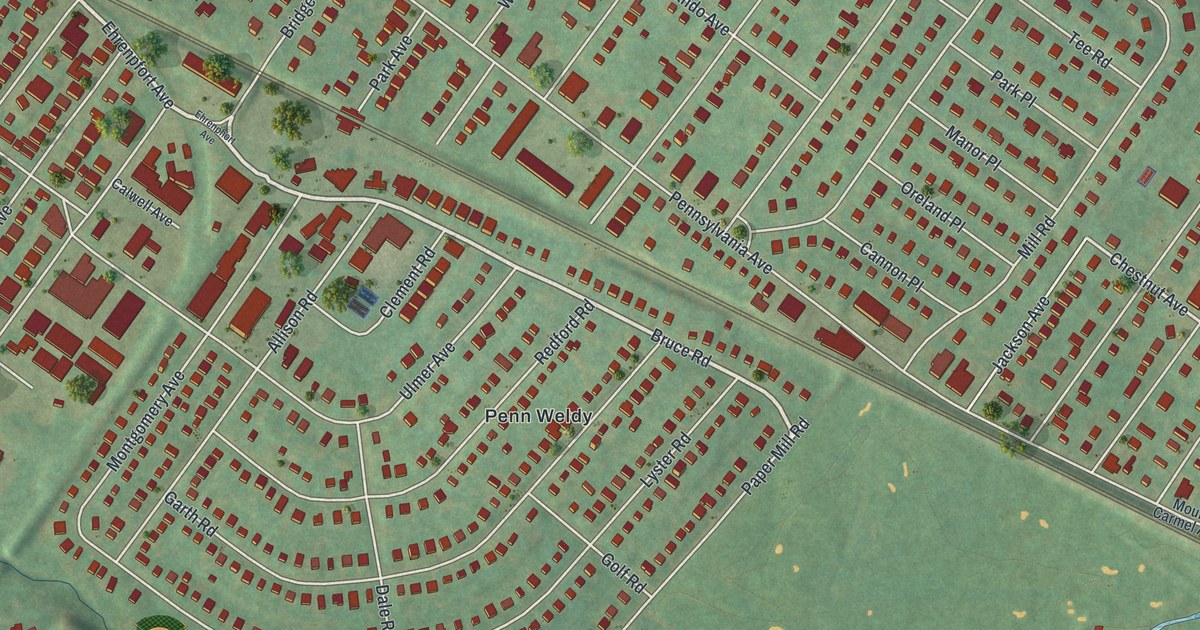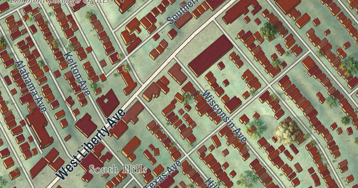
This beautifully detailed map of Dormont, Pennsylvania was created in 2026 using aerial imagery combined with modern topographical, census, street and landmark data. It’s a one-of-a-kind view of Dormont that combines accurate data with a vintage aesthetic. The map shows every building in its true location, many of the roads carry their names, and the shaded topographic relief shows the shape of the land.
Explore an aerial view of Dormont, Pennsylvania
On the map you’ll find Dormont Borough Offices, Dormont Park, and South Hills, along with McFarland Road, West Liberty Avenue, Hillsdale Avenue, Dormont Avenue, Kelton Avenue, Broadway Avenue, Biltmore Avenue, Dwight Avenue, Potomac Avenue, and more. If you look closely you can even find your house accurately drawn in its correct location. Zoom in on the preview to look for yours.
Take a closer look at the Dormont map
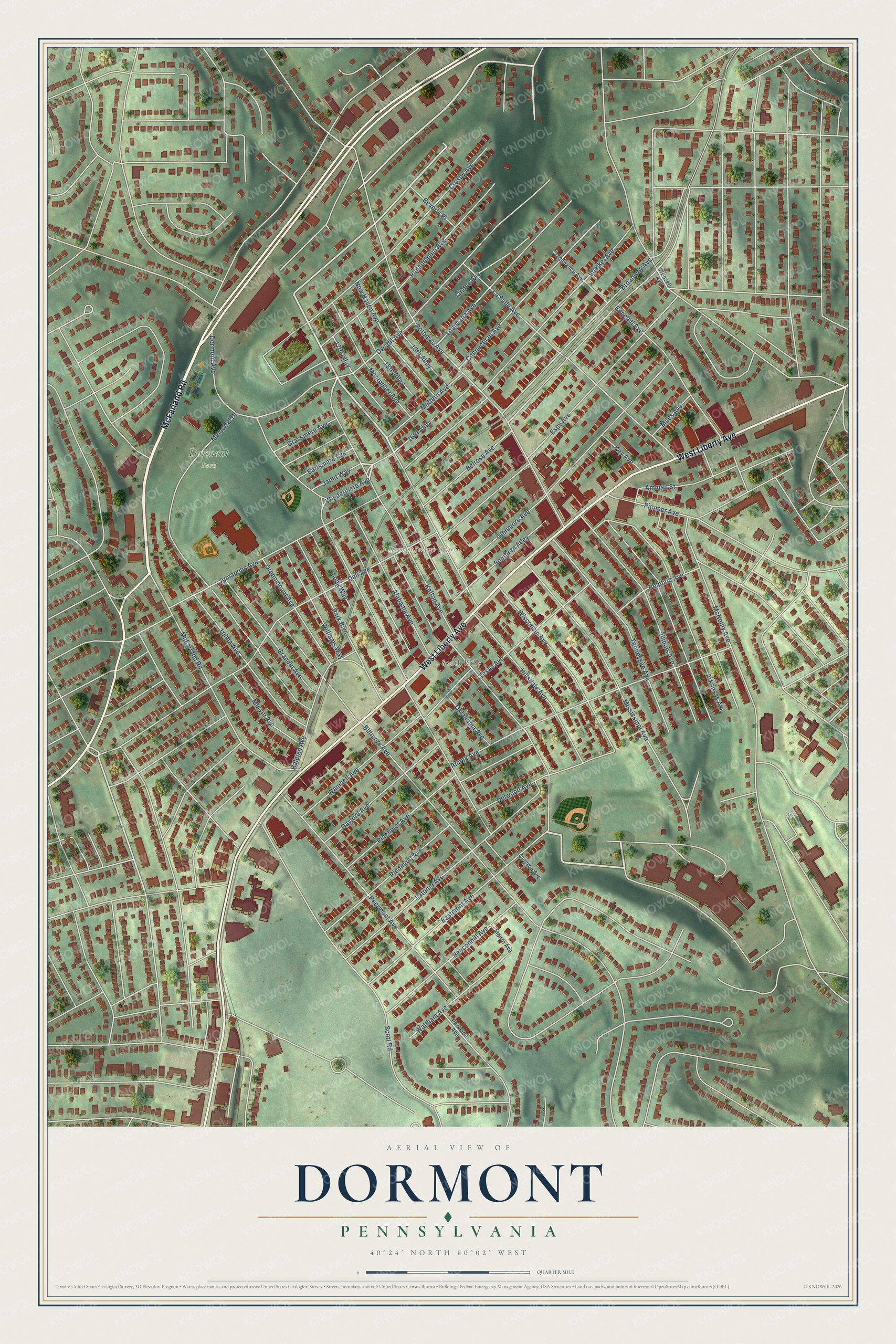
Street and place names on the Dormont, Pennsylvania map
These names are printed on the map of Dormont, Pennsylvania.
Places: Dormont Borough Offices, Dormont Park and South Hills.
Streets and roads: McFarland Road, West Liberty Avenue, Hillsdale Avenue, Dormont Avenue, Kelton Avenue, Broadway Avenue, Biltmore Avenue, Dwight Avenue, Potomac Avenue, Voelkel Avenue, Espy Avenue, Annex Avenue.
More street names, A to Z
16th Alley, 17th Alley, 18th Alley, 19th Alley, Alabama Avenue, Albern Avenue, Amman Street, Annapolis Avenue, Arkansas Avenue, Beaconhill Avenue, Belplain Avenue, Belrose Avenue, Beverly Place, Celeron Avenue, Connecticut Avenue, Crosby Avenue, Dell Avenue, Delwood Avenue, Earlsmere Avenue, Eastmont Avenue, Edgehill Avenue, Gaylord Avenue, Glenmore Avenue, Grandin Avenue, Grassmere Avenue, Greenmount Avenue, Illinois Avenue, Janet Way, Key Avenue, La Salle Avenue, Latonia Avenue, Linden Avenue, Long Way, Louisiana Avenue, Mattern Avenue, McNeilly Avenue, Memorial Drive, Mervin Avenue, Miles Avenue, Mississippi Avenue, Montpelier Avenue, New Haven Avenue, Oklahoma Avenue, Ordinance Avenue, Park Boulevard, Parkside Avenue, Peermont Avenue, Philadelphia Avenue, Piedmont Avenue, Pinehurst Avenue, Pioneer Avenue, Raleigh Avenue, Scott Road, Southern Alley, Tennessee Avenue, Texas Avenue, Tolma Avenue, Wainbell Avenue, Waltham Avenue, Wenzell Avenue, Williams Way, Windermere Avenue, Wisconsin Avenue.
See the Dormont, Pennsylvania map on a wall
The Dormont map as an 18 x 24 inch print in a black frame.

This beautifully detailed map of Dormont makes an attractive addition to your office, library, or den, and it can even be used to teach children the geography and history of the area. It also makes a great gift for anyone who grew up in Dormont or moved away. When you’re done exploring, click here to get your copy of the Dormont map.