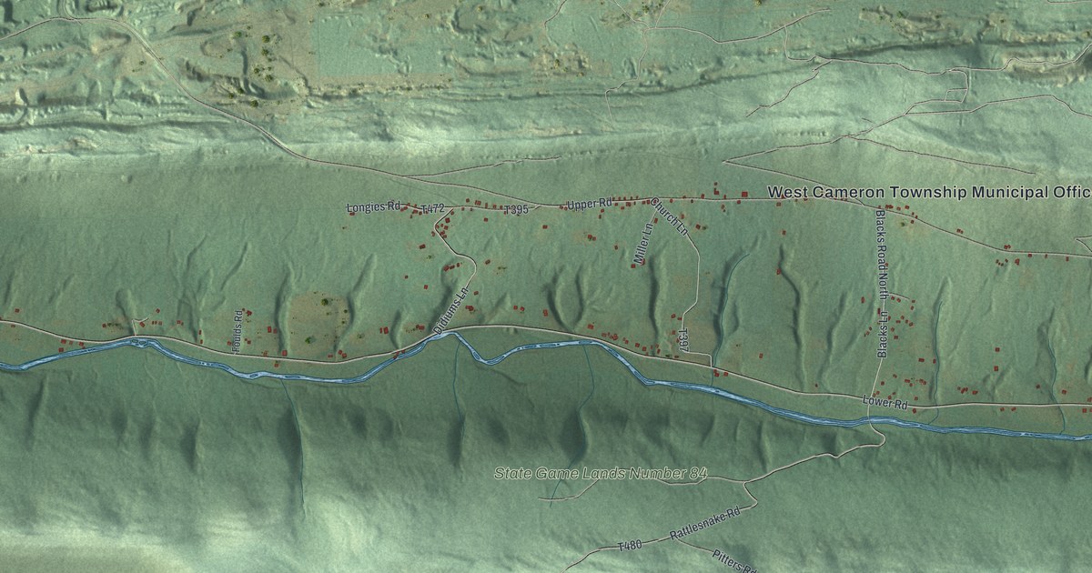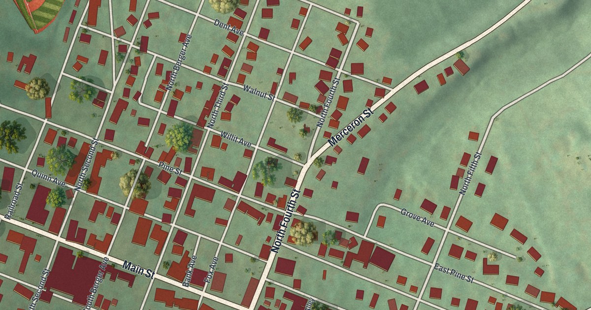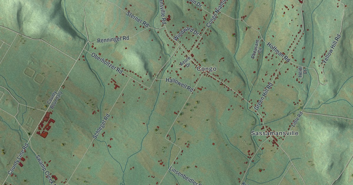
If you grew up in Gilbertsville, or your family still lives out near Congo, Niantic or Sassamansville, this map has your roads on it. It's a new aerial view of Douglass Township in Montgomery County, Pennsylvania, made from modern data and given a vintage look. Soft green hills fill the sheet. Gilbertsville's streets crowd the lower left corner, and Niantic sits near the top.
Gilbertsville, Congo and Niantic on One Map
On this map you'll find Gilbertsville, Congo, Niantic, Sassamansville, Swamp Pike, Big Road, Layfield Road, Gilbertsville Road, Congo Road, Niantic Road, Sassamansville Road, Hoffmansville Road, County Line Road, Middle Creek Road, Golf Drive, and more. Each red shape is a building, so zoom in on the preview and look for yours.
Gilbertsville sits in the lower left corner of the sheet, where its streets crowd together. In the hills, the red shapes thin out. Congo and Sassamansville sit near the middle of the sheet. Niantic sits near the top, tucked among the hills. The shading shows every rise and hollow, so you can see how the land folds between the villages.
Swamp Pike and Two Very Old Churches
Swamp Pike runs out past the edge of Douglass into New Hanover. Two Pennsylvania state historical markers stand along it, and they tell a story that goes back to the first German settlers. The New Hanover Lutheran Church was the first German Lutheran church in America. Daniel Falckner started it about 1700. Henry Melchior Muhlenberg was its pastor from 1742 to 1761, and its present building went up in 1767. Close by, the Falkner Swamp Reformed Church held its first Communion on October 15, 1725. The Rev. John Philip Boehm led that service. The marker calls it the nation's oldest German Reformed congregation that has met without a break. Its building dates to 1790. Find Swamp Pike on this map. It's the same road that leads out to both churches.
Keep Gilbertsville and Niantic Close
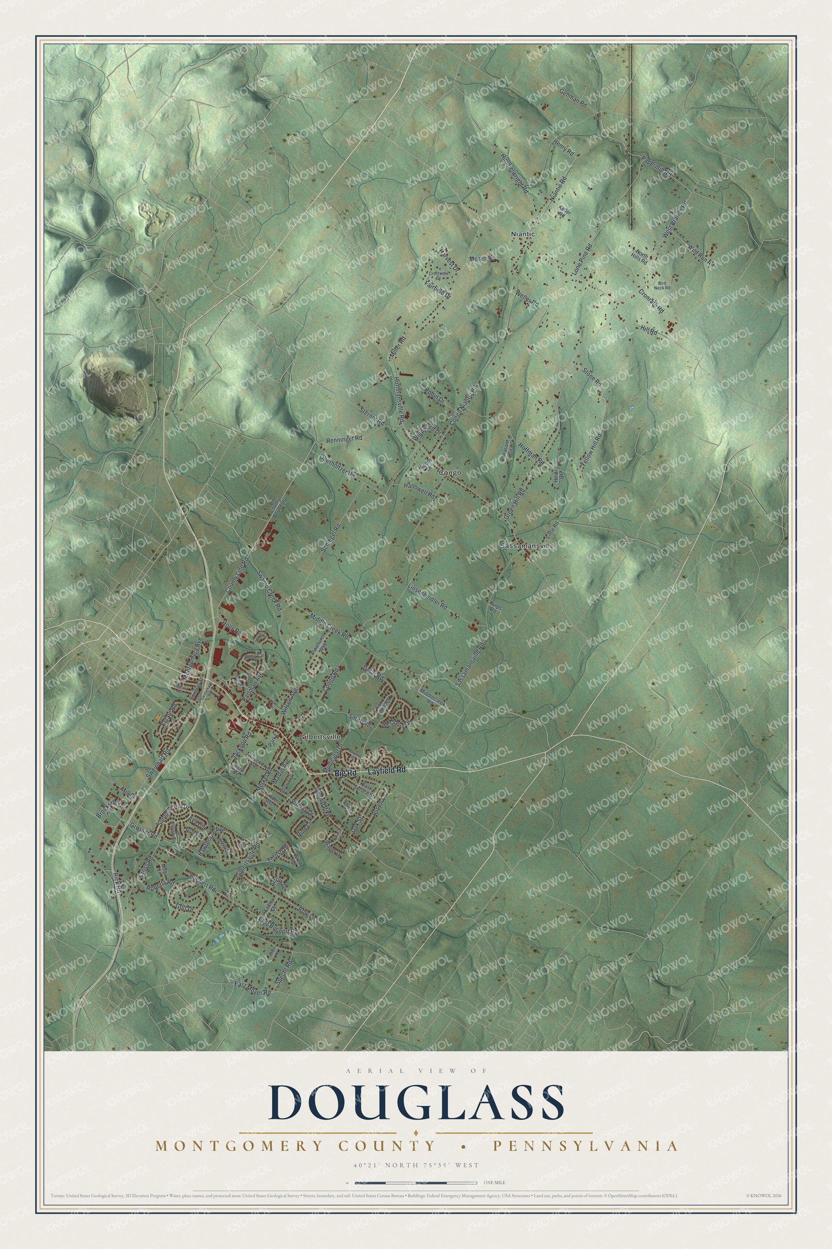
Created by KNOWOL in 2026, the print shows Douglass Township in shaded green hills, with every building in dark red and the roads drawn in fine light lines. The cream title panel at the bottom reads "Aerial View of Douglass, Montgomery County, Pennsylvania" with 40°21' North 75°35' West beneath it.
It suits a living room, a front hall or a home office. It's a fine gift for someone who grew up in Gilbertsville, or for a friend who moved away from the roads around Congo and Niantic. Open the preview and find your own road. See sizes and frames for the Douglass, Montgomery County map.