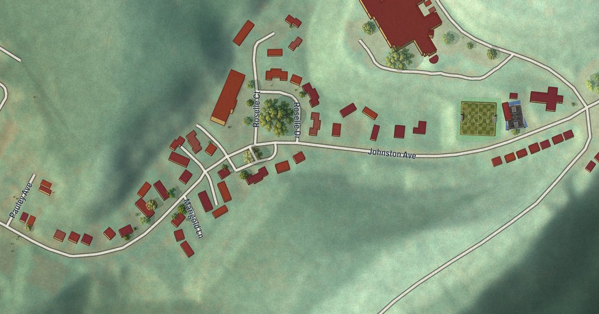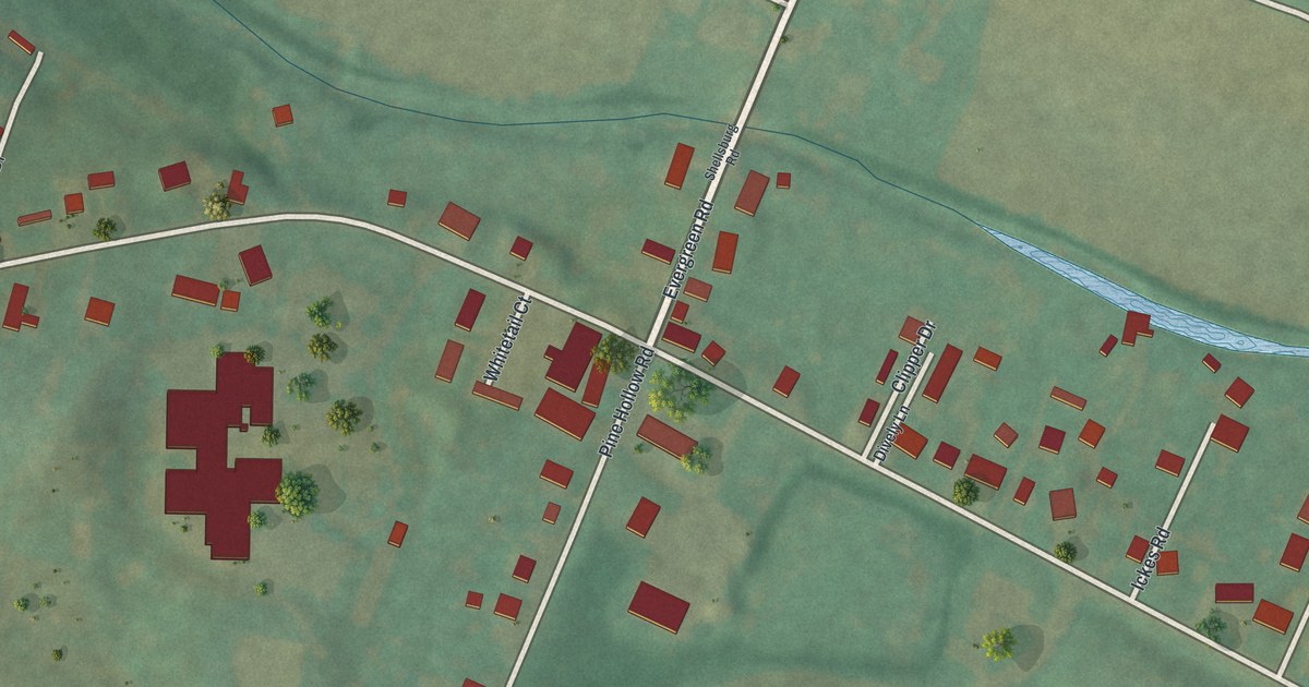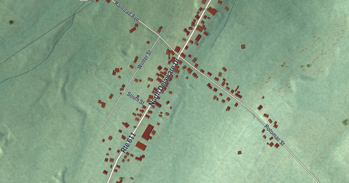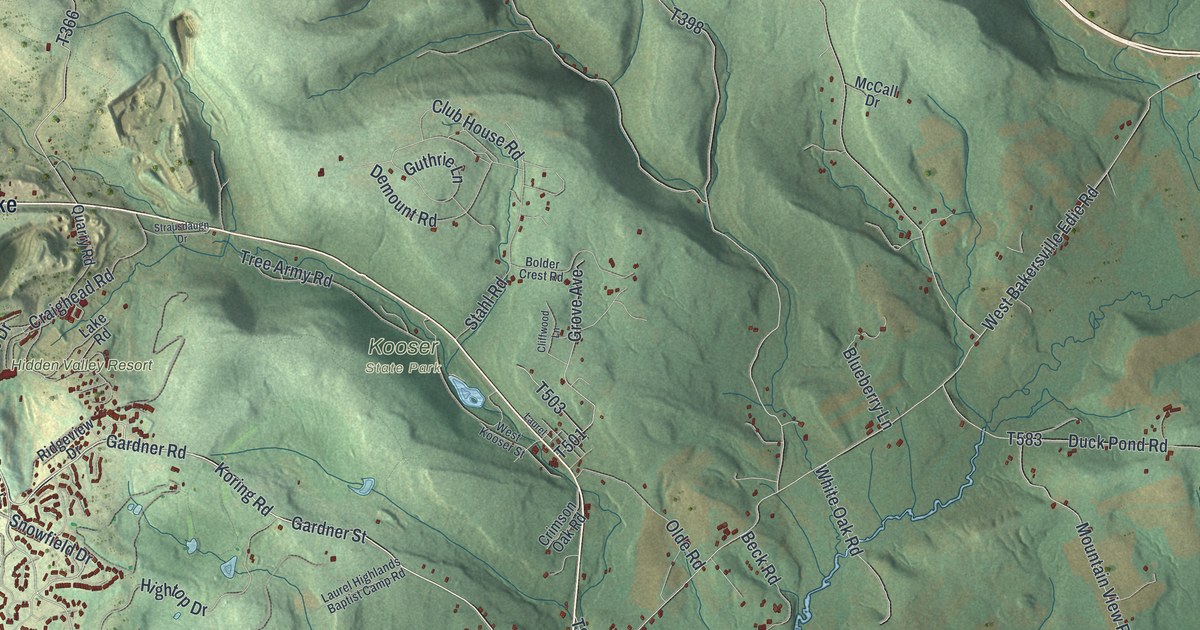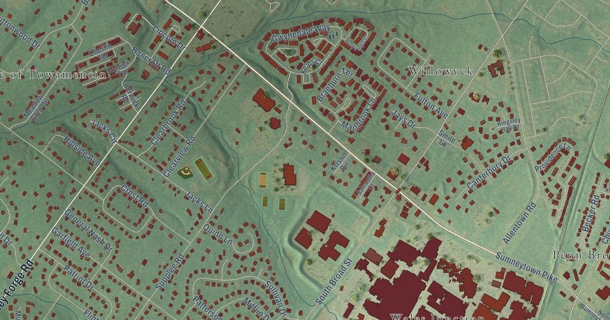
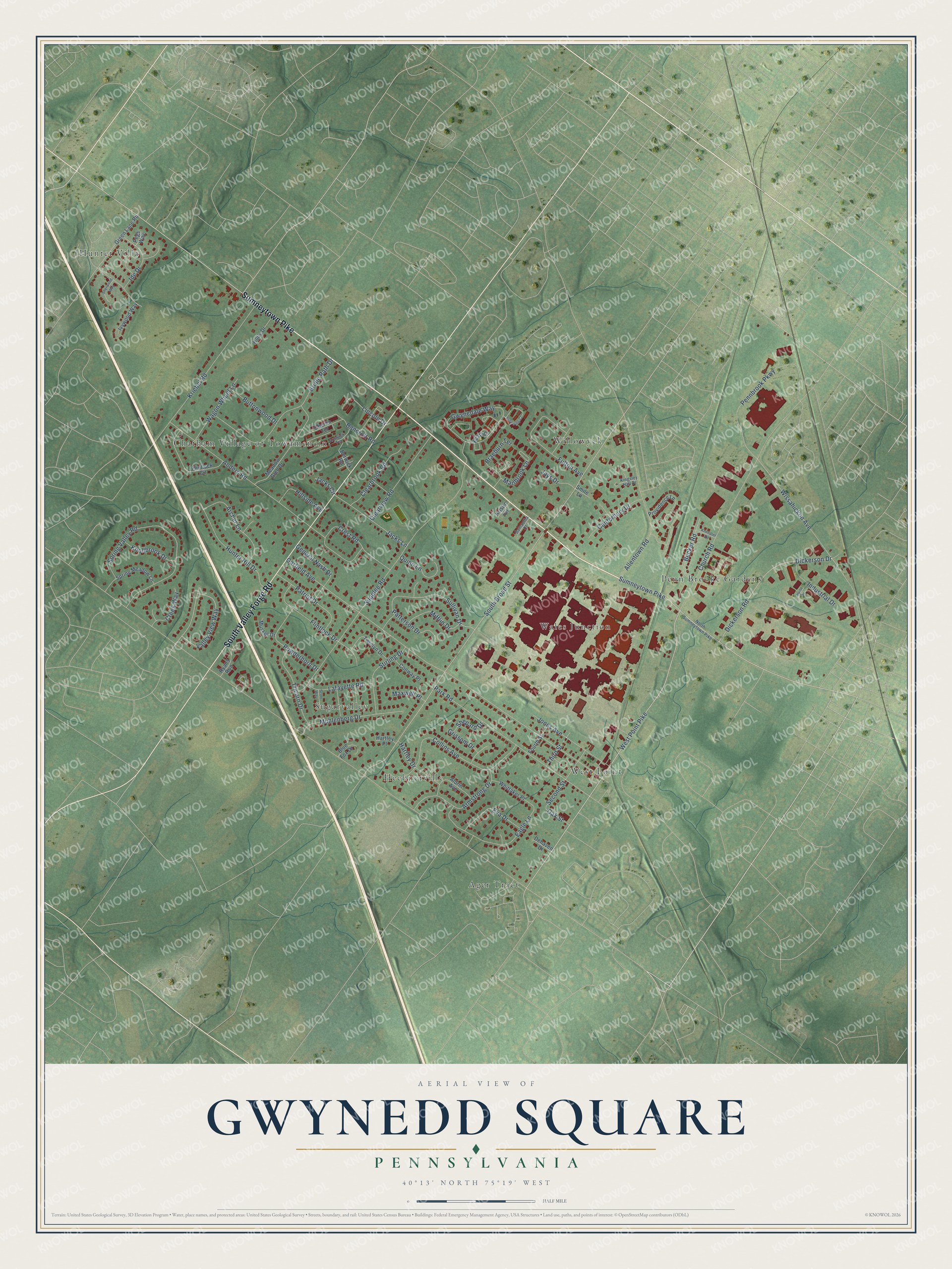
This beautifully detailed map of Gwynedd Square, Pennsylvania was created in 2026 using aerial imagery combined with modern topographical, census, street and landmark data. It’s a one-of-a-kind view of Gwynedd Square that combines accurate data with a vintage aesthetic. The map shows every building in its true location, many of the roads carry their names, and the shaded topographic relief shows the shape of the land.
Explore an aerial view of Gwynedd Square, Pennsylvania
On the map you’ll find Wales Junction, Hunter Villa, Ager Tract, Willowyck, Chatham Village of Towamencin, Sugarvalley, West Point, Penn Brooke Gardens, and Heebnerville, along with Sumneytown Pike, South Valley Forge Road, West Point Pike, and more. If you look closely you can even find your house accurately drawn in its correct location. Zoom in on the preview to look for yours.
Did You Know?
From Internet Archive: "Having acquired sufficient knowledge for the purpose, he taught school at Gwynedd Square, known as the Weslem School."
Gwynedd Square is a community in Montgomery County.
Take a closer look at the Gwynedd Square map
Names on this map
These names are printed on this map.
Places: Wales Junction, Hunter Villa, Ager Tract, Willowyck, Chatham Village of Towamencin, Sugarvalley, West Point, Penn Brooke Gardens and Heebnerville.
Streets and roads: Sumneytown Pike, South Valley Forge Road, West Point Pike, South Broad Street, Valley View Way, Sullivan Drive, Garfield Avenue, Supplee Road, Church Road, Anders Road, Spring Valley Road, Park Road.
More street names, A to Z
Aldrin Avenue, Allentown Road, Archer Lane, Ardwick Terrace, Armstrong Drive, Bancroft Road, Becker Road, Berwick Road, Blue Fox Drive, Braeburn Terrace, Bridle Path Drive, Browning Court, Buttonwood Drive, Canterbury Drive, Clearbrook Road, Clearview Road, Collins Avenue, Conway Place, Creek Way, Crest Road, Dehaven Drive, Dickerson Drive, Dickerson Road, Eagle Lane, Eva Drive, Flintlock Circle, Flintlock Drive, Fourth Street, Fulton Avenue, General Nash Drive, Green Lane Road, Grissom Drive, Gwynedale Way, Hartley Drive, Hartley Place, Hillside Avenue, Holly Drive, Hunter Hill Drive, Ide Drive, Industrial Drive, Ivywood Way, Jacks Circle, Jacks Lane, Jays Drive, Jones Avenue, Keats Court, Kingsley Hall Drive, Kneedler Road, Knollbrook Drive, Kriebel Road, Kristin Circle, Lafayette Road, Lincoln Drive, Louise Lane, Marlbrook Lane, Maxwell Place, Meadow Glen Drive, Mifflin Drive, Muhlenberg Drive, Musket Drive, North Sumneytown Pike, Oak Street, Oberlin Terrace, Patriot Drive, Patterson Drive, Pegs Way, Pennbrook Parkway, Powderhorn Drive, Providence Lane, Quinn Lane, Ryans Run, Samantha Court, Scott Way, Second Street, Shepard Drive, Sherwood Way, Smile Lane, Spring Meadow Lane, Stirling Drive, Third Street, Tricorn Drive, Twinlyn Drive, Wagon Wheel Lane, Whittaker Place, Wissahickon Avenue.
See it on a wall
The Gwynedd Square map as a framed print. Swipe for more.


This beautifully detailed map of Gwynedd Square makes an attractive addition to your office, library, or den, and it can even be used to teach children the geography and history of the area. It also makes a great gift for anyone who grew up in Gwynedd Square or moved away. When you’re done exploring, click here to get your copy of the Gwynedd Square map.