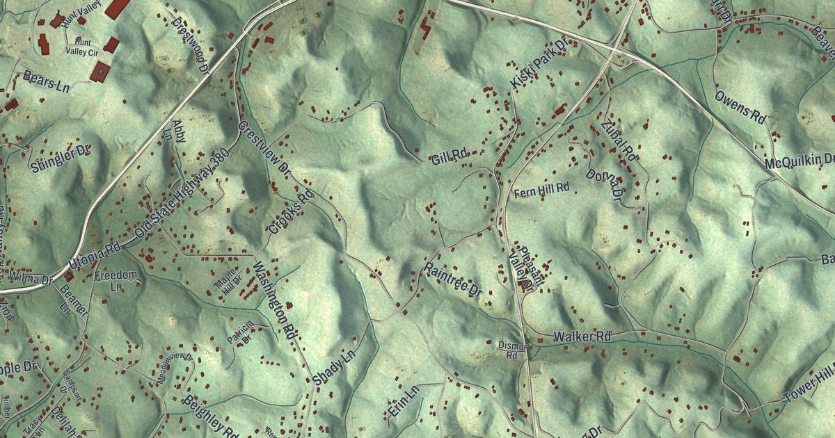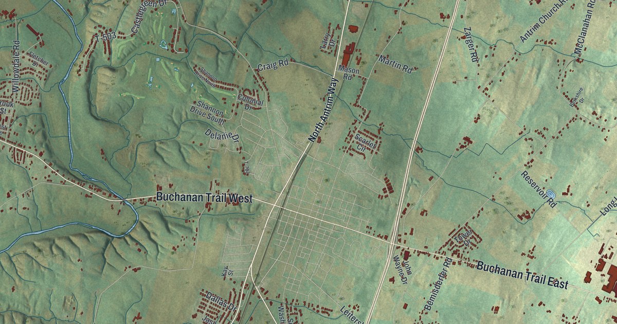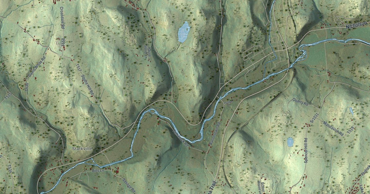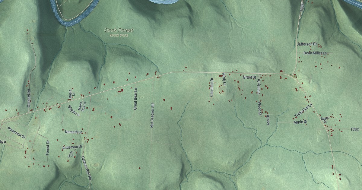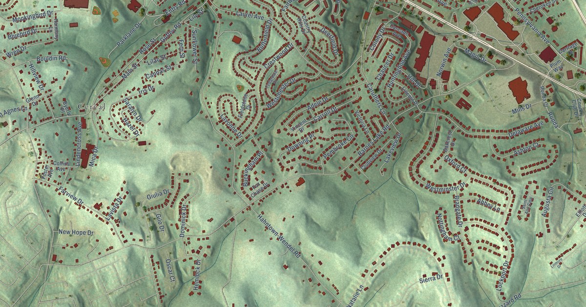
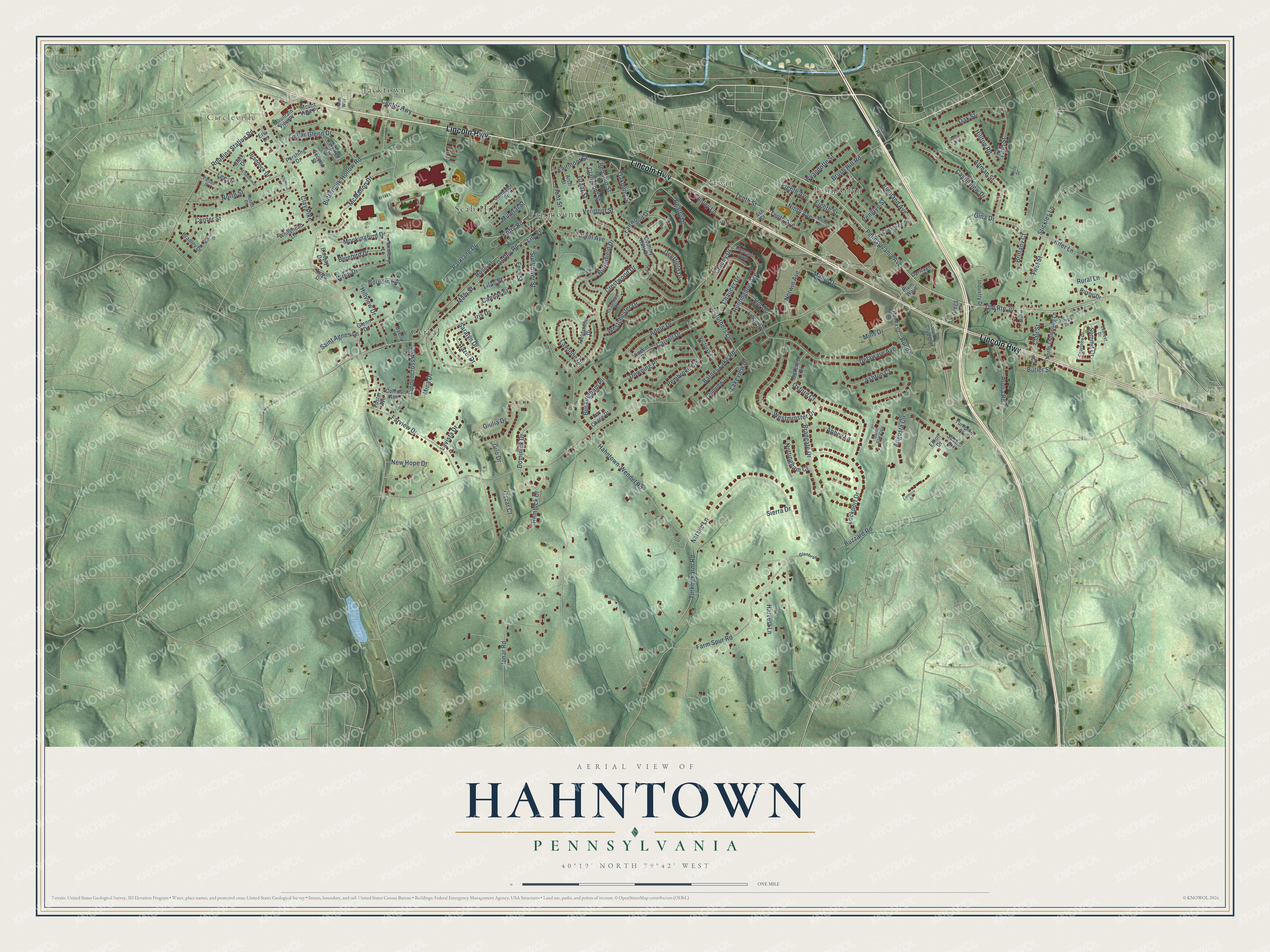
This beautifully detailed map of Hahntown, Pennsylvania was created in 2026 using aerial imagery combined with modern topographical, census, street and landmark data. It’s a one-of-a-kind view of Hahntown that combines accurate data with a vintage aesthetic. The map shows every building in its true location, many of the roads carry their names, and the shaded topographic relief shows the shape of the land.
Explore an aerial view of Hahntown, Pennsylvania
On the map you’ll find Circleville, Penn Glyn, Fairmount, Cereal, Irwin, Jacktown, Scab Hill, and Ronda, along with Lincoln Highway, Entry Road, Pennsylvania Avenue, Main Street, and more. If you look closely you can even find your house accurately drawn in its correct location. Zoom in on the preview to look for yours.
Take a closer look at the Hahntown map
Names on this map
These names are printed on this map.
Places: Circleville, Penn Glyn, Fairmount, Cereal, Irwin, Jacktown and Scab Hill.
Streets and roads: Lincoln Highway, Entry Road, Pennsylvania Avenue, Old Route 30, Ronda, Main Street, Tenth Avenue, Fern Street, Hahntown-Wendel Road, Barnes Lake Road, Guffey Road, Clay Pike.
More street names, A to Z
Abbey Lane, Adele Drive, Altman Street, Arch Street, Arona Road, Ash Street, Ashton Court, Augusta Circle, Beatty Drive, Belmont Street, Bluebird Drive, Bluejay Drive, Bouldin Road, Braddock Drive, Bradgate Drive, Bradley Drive, Brittany Court, Brush Hill Road, Buckingham Place, Butler Street, Butterfield Drive, Buttermilk Hollow Road, Buzzard Road, Byerly Place, Cannas Street, Carmalot Street, Carriage Drive, Carroll Drive, Caruthers Lane, Cascade Avenue, Castleview Drive, Cedardale Drive, Cedar Glenn Drive, Center Highway, Center Street, Charlotte Drive, Chaucer Drive, Chenault Drive, Cherokee Street, Clairmont Street, Clair Street, Clark Drive, Clubview Drive, Collins Avenue, Colony Drive, Conley Lane, Country Club Drive, Country Hills Drive, Crestwood Drive, Custer Drive, Deerfield Drive, Delaware Avenue, Dominick Drive, Downing Place, Eighth Avenue, Eighth Street, Eisenhower Drive, Elliott Drive, Erlu Lane, Everest Drive, Fairmont Street, Fairwood Drive, Farm Spur Road, Farview Drive, Fieldstone Drive, Fifth Street, First Street, Foster Avenue, Fox Chase Drive, Front Street, Gilo Drive, Gina Drive, Giulia Drive, Glenbrae, Glenn Drive, Grant Street, Gregg Drive, Hams Way, Happy Drive, Harmony Lane, Harvest Lane, Hazel Drive, Hemlock Drive, Highland Avenue, Hill Drive, Hilltop Road, Hillview Drive, Huntingdon Avenue, Industry Drive, Ipnar Road, Iris Drive, Judith Circle, Kifer Lane, Kingfred Drive, Lakeview Drive, Laurel Avenue, Lavista Drive, Lavonne Drive, Lee Drive, Lilac Street, Lily Street, Lincoln Place, Lindencross Avenue, Linmore Drive, Lockport Drive, Macarthur Drive, Magill Drive, McMahon Drive, Mica Drive, Mills Drive, Mineral Street, Mockingbird Drive, Mountain View Place, Mount View Place, Natalie Lane, New Hope Drive, Ninth Avenue, Ninth Street, North Street, North Thompson Lane, Norwin Avenue, Nottingham Court, Oakcrest Drive, Oakmont Street, Oak Street, Oscar Court, Oxford Court, Parklane Drive, Patton Drive, Pembroke Circle, Penglyn Street, Pershing Drive, Plum Way, Robbins Station Road, Ronda Court, Rose Street, Rural Lane, Rustic Drive, Saint Agnes Lane, Saint Ann Cmn, Saralyn Drive, Scull Road, Second Street, Sierra Drive, Stickles Lane, Summit Drive, Sunflower Street, Susan Drive, Tenth Street, Texas Lane, Third Street, Tioga Drive, Turkey Farm Road, Turnpike Street, Vermont Street, Victoria Lane, Vincent Drive, Walker Lane, Westchester Drive, Westminster Drive, Whitehead Lane, Wren Drive, Wyandotte Street.
See it on a wall
The Hahntown map as a framed print. Swipe for more.


This beautifully detailed map of Hahntown makes an attractive addition to your office, library, or den, and it can even be used to teach children the geography and history of the area. It also makes a great gift for anyone who grew up in Hahntown or moved away. When you’re done exploring, click here to get your copy of the Hahntown map.