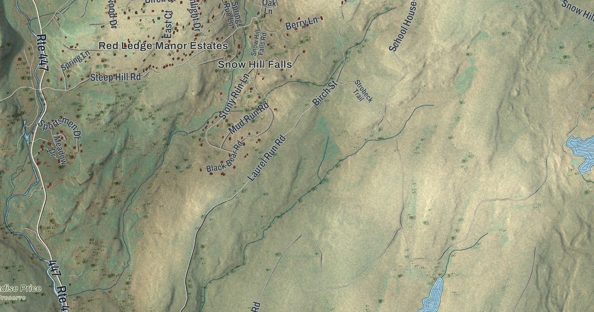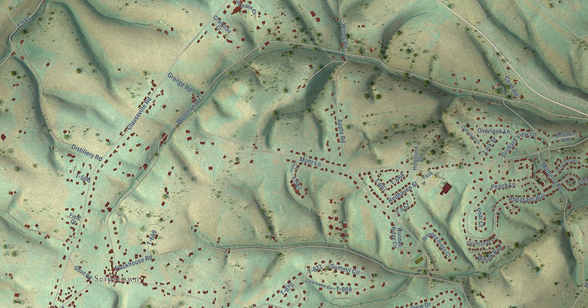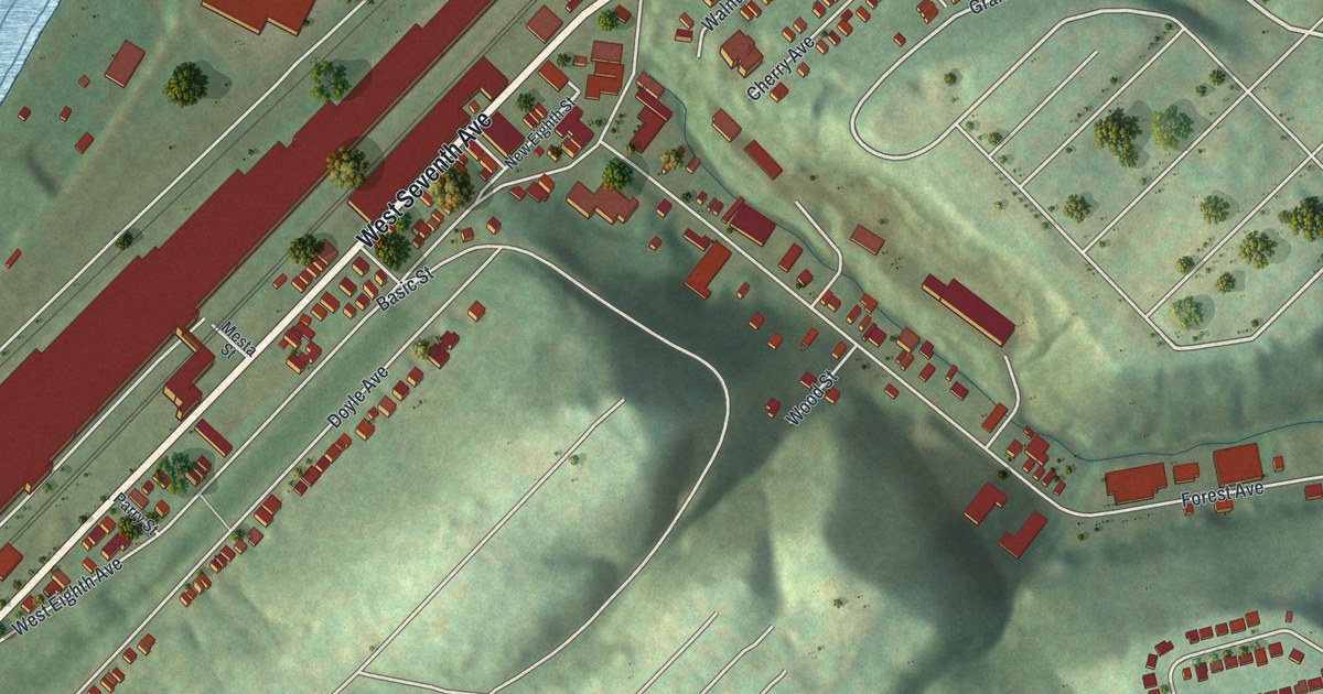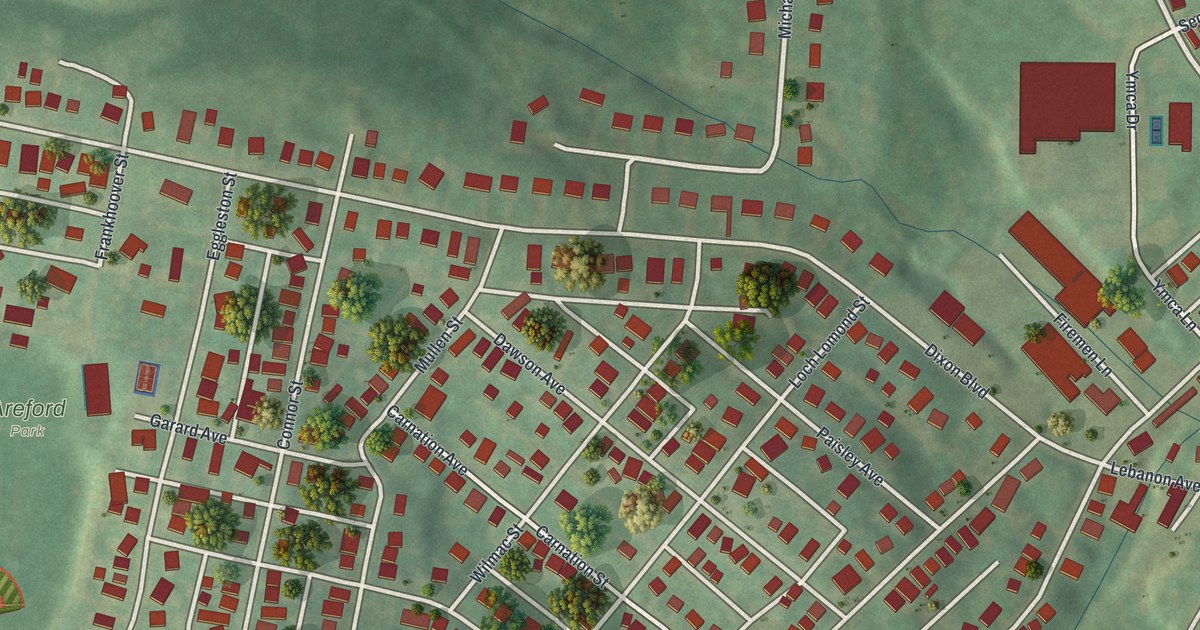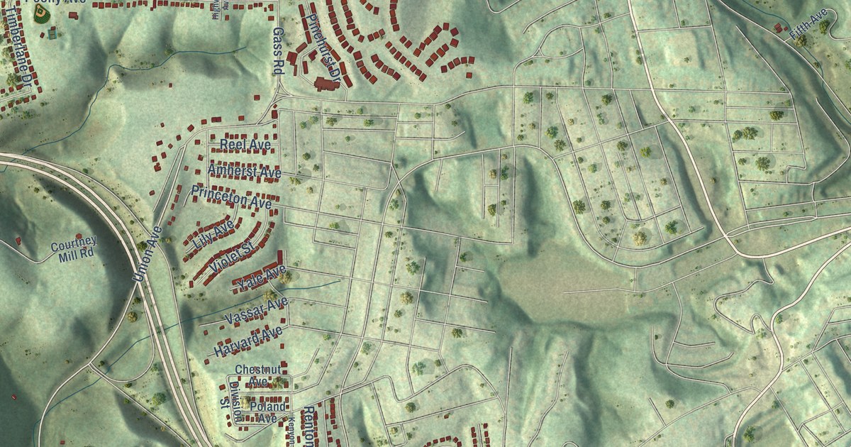
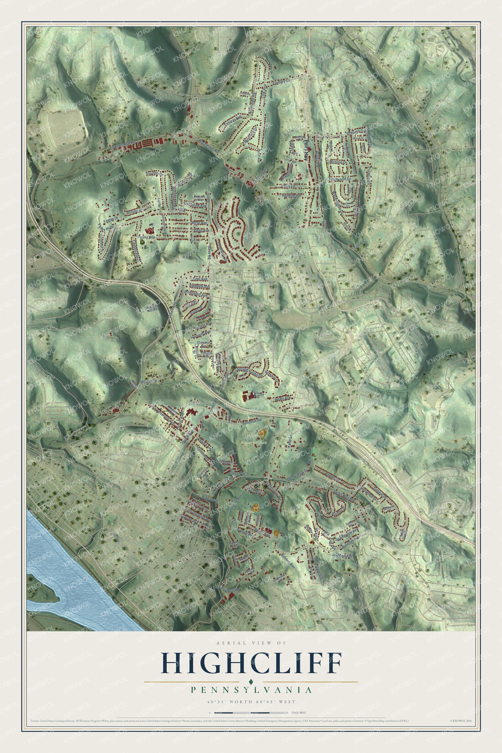
This beautifully detailed map of Highcliff, Pennsylvania was created in 2026 using aerial imagery combined with modern topographical, census, street and landmark data. It’s a one-of-a-kind view of Highcliff that combines accurate data with a vintage aesthetic. The map shows every building in its true location, many of the roads carry their names, and the shaded topographic relief shows the shape of the land.
Explore an aerial view of Highcliff, Pennsylvania
On the map you’ll find Bellevue Memorial Park, Shannopin Country Club, and Perrysville, along with Perry Highway, Union Avenue, Center Avenue, Jacks Run Road, Gass Road, Bascom Avenue, Rochester Road, Lowries Run Road, Link Avenue, and more. If you look closely you can even find your house accurately drawn in its correct location. Zoom in on the preview to look for yours.
Take a closer look at the Highcliff map
Names on this map
These names are printed on this map.
Places: Bellevue Memorial Park, Shannopin Country Club and Perrysville.
Streets and roads: Perry Highway, Union Avenue, Center Avenue, Jacks Run Road, Gass Road, Bascom Avenue, Rochester Road, Lowries Run Road, Link Avenue, York Drive, Bellevue Road, Hillendale Road.
More street names, A to Z
Ambard Avenue, Amherst Avenue, Aspen Trail, Balsam Street, Bellwood Drive, Benton Avenue, Bond Avenue, Brighton Road, Brunner Drive, Calderwood Avenue, Carnation Avenue, Chestnut Avenue, Clarion Avenue, Clearview Avenue, Cliffview Road, Connie Drive, Cornell Road, Country Lane, Courtney Mill Road, Cyrano Avenue, Deimling Road, Denny Park Drive, Division Street, Doulton Drive, Drexel Lane, East Forest Avenue, East Madison Circle, East Orchard Avenue, Edies Way, Eileen Drive, Enger Avenue, Fern Avenue, Fifth Avenue, Forest Avenue, Gailey Avenue, Gamble Street, Golf Drive, Grandview Avenue, Harden Drive, Harding Road, Harvard Avenue, Heidcrest Drive, Hieber Avenue, Highview Avenue, Hiland Valley Drive, Ivy Road, Jackson Circle, Jefferson Drive, John Street, Kane Lane, Kenyon Avenue, Klemont Avenue, Lilac Avenue, Lily Avenue, Lindley Lane, Logan Drive, Longmount Avenue, Lorlei Lane, Lucerne Avenue, Malcolm Avenue, Mattys Drive, Merwood Drive, Minnock Drive, Monroe Drive, Mulkerin Drive, Nazareth Way, Nina Road, Oak Drive, Oakside Drive, Pearl Avenue, Penn Drive, Peony Avenue, Perry Lane, Petunia Avenue, Pinehurst Drive, Poland Avenue, Preston Avenue, Princeton Avenue, Quaill Avenue, Ravenswood Avenue, Redwood Court, Reel Avenue, Renton Avenue, Ridgeside Road, Rolling Drive, Rose Avenue, Rossmor Court, Sally Ann Drive, Salome Avenue, Schars Lane, Seville Avenue, Snowden Drive, Spruce Court, Spruce Valley Drive, Sunflower Avenue, Sunsetview Drive, Sylvania Drive, Sylvia Avenue, Tadmar Avenue, Thompson Drive, Timberlane Drive, Transvaal Avenue, Valley Hi Drive, Varney Street, Vassar Avenue, Violet Street, Virginia Terrace, Wanker Drive, Washington Drive, Wedgewood Drive, William Street, Willow Drive, Winslow Drive, Wood Drive, Woodland Terrace, Yale Avenue, Zug Avenue.
See it on a wall
The Highcliff map as a framed print. Swipe for more.


This beautifully detailed map of Highcliff makes an attractive addition to your office, library, or den, and it can even be used to teach children the geography and history of the area. It also makes a great gift for anyone who grew up in Highcliff or moved away. When you’re done exploring, click here to get your copy of the Highcliff map.