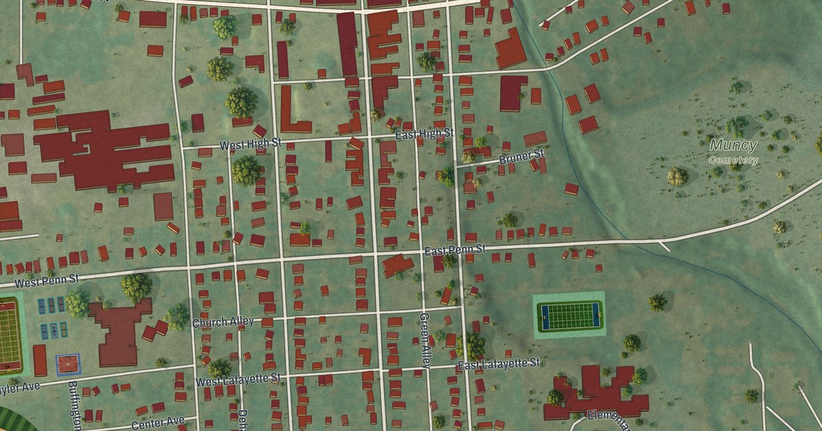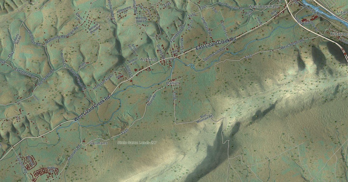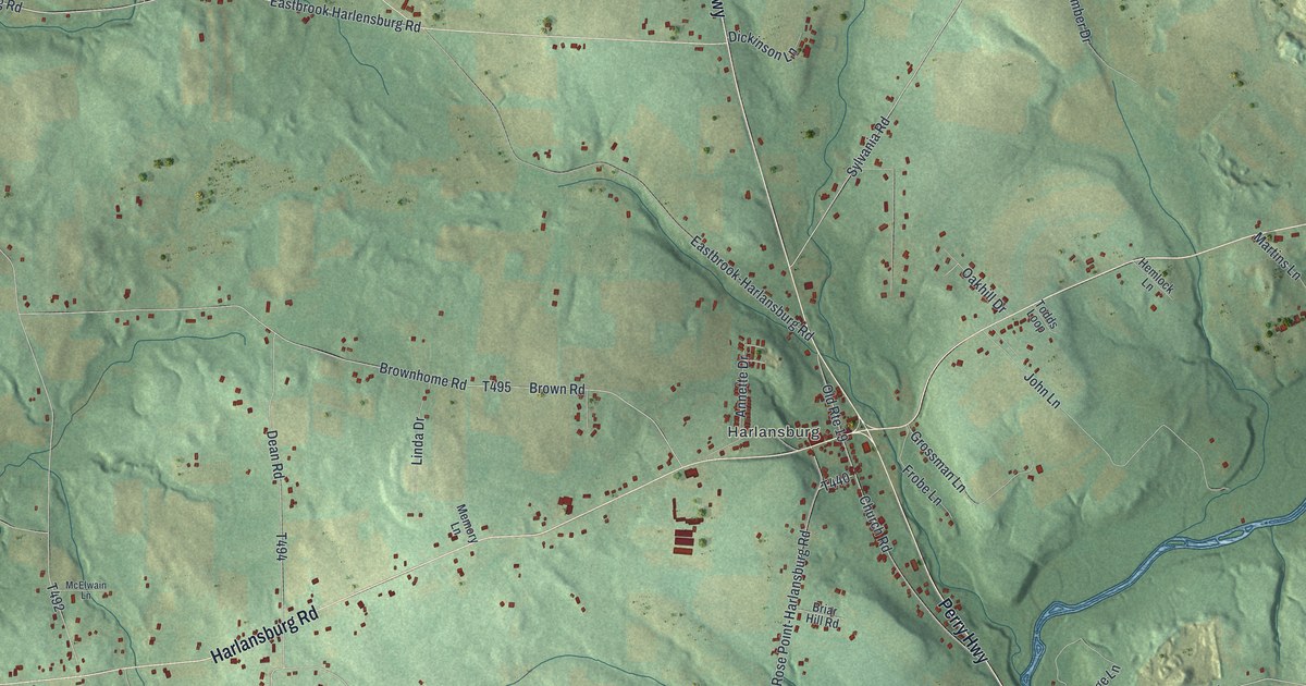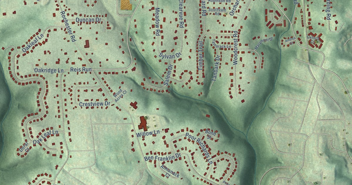
This beautifully detailed map of Ingomar, Pennsylvania was created in 2026 using aerial imagery combined with modern topographical, census, street and landmark data. It’s a one-of-a-kind view of Ingomar that combines accurate data with a vintage aesthetic. The map shows every building in its true location, many of the roads carry their names, and the shaded topographic relief shows the shape of the land.
Explore an aerial view of Ingomar, Pennsylvania
On the map you’ll find Keown and Reis Run, along with Highland Road, Ingomar Heights Road, Briarwood Drive, Sylvan Drive, Reis Run Road, Pine Creek Road, West Ingomar Road, Brandt School Road, Bellwood Drive, Rochester Road, and more. If you look closely you can even find your house accurately drawn in its correct location. Zoom in on the preview to look for yours.
Take a closer look at the Ingomar map
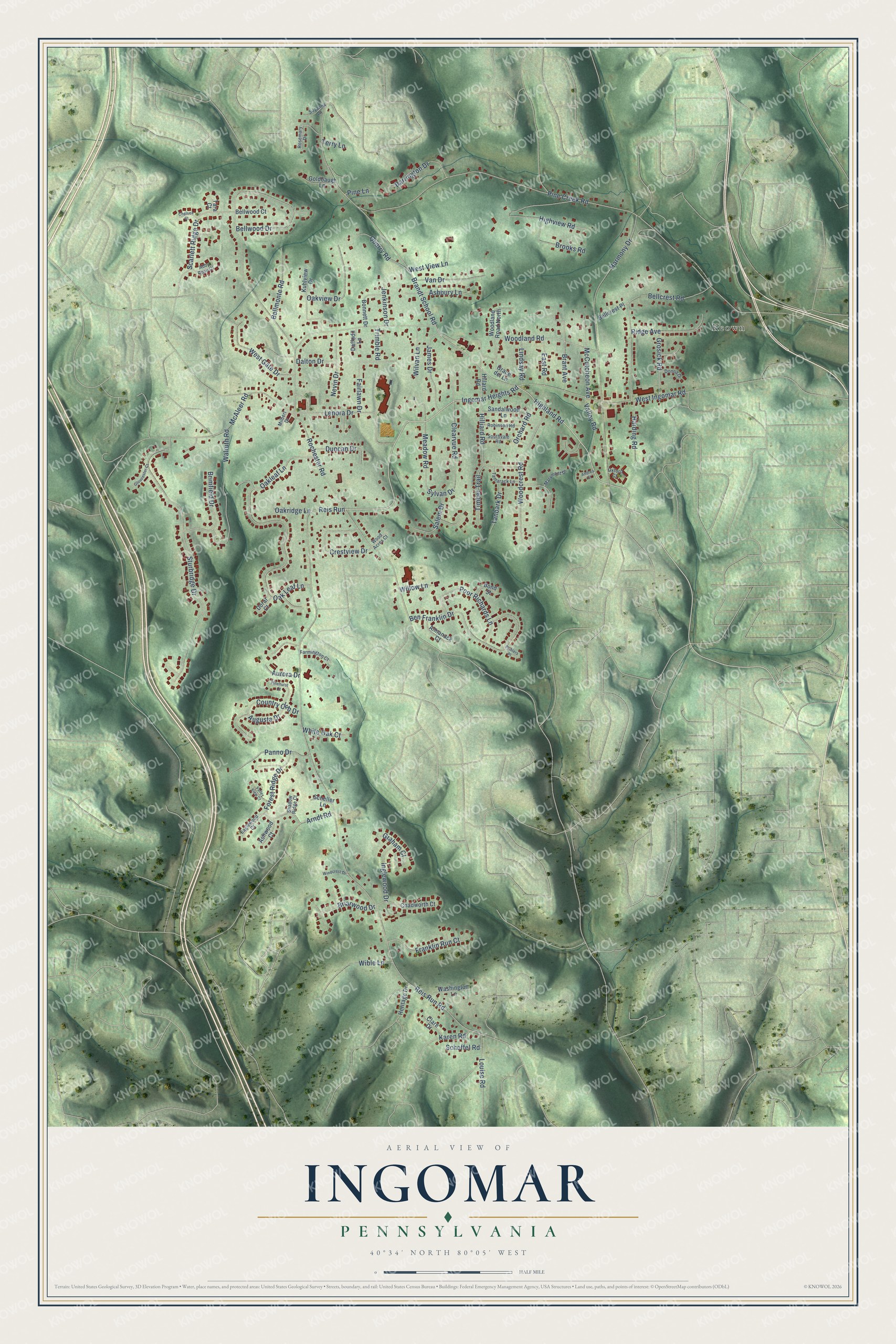
Names on this map
These names are printed on this map.
Places: Keown.
Streets and roads: Highland Road, Ingomar Heights Road, Reis Run, Briarwood Drive, Sylvan Drive, Reis Run Road, Pine Creek Road, West Ingomar Road, Brandt School Road, Bellwood Drive, Rochester Road, Harmony Drive.
More street names, A to Z
Abby Rose Court, Almanack Court, Andrea Court, Arndt Road, Ashbury Lane, Ashwood Court, Augusta Drive, Aurora Drive, Barrington Drive, Bellcrest Place, Bellcrest Road, Bellmonte Road, Bellwood Court, Ben Franklin Drive, Bond Street, Bonnett Drive, Brant Avenue, Brimfield Drive, Brooks Road, Chadworth Court, Chelsea Court, Clare Drive, Clearvue Road, Country Club Drive, Crestview Drive, Daffodil Lane, Dalton Drive, Donna Drive, Doral Court, Duncan Drive, Eaglewood Court, East Road, Fairlawn Drive, Farmington Court, Forest Ridge Drive, Franklin Run Court, Gloucester Court, Goldbaugh Lane, Grace del Lane, Graham Court, Grosick Road, Harding Road, Heritage Drive, Highview Road, Hillard Road, Hilliard Road, Inglewood Drive, James Drive, Jenkinson Drive, Karen Road, Kuhlview Drive, Lenora Drive, Lindsay Road, Louise Road, Marymont Drive, McAleer Road, McCutcheon Avenue, Meadow Road, Milbert Drive, Nevin Drive, Oakleaf Lane, Oak Leaf Lane, Oakridge Lane, Oakview Drive, Orchard Road, Oxford Court, Panno Drive, Pinehurst Court, Pine Lane, Poor Richards Lane, Printers Place, Quarry Road, Ridge Avenue, Robinson Road, Rosemary Drive, Salem Drive, Sandalwood Lane, Scarlett Ridge Drive, Scheffel Road, Scheller Lane, Shadow Ridge Court, Southvale Road, Sturbridge Drive, Suzanna Lane, Tamarack Lane, Tanbark Drive, Tara Court, Terry Lane, Timber Trail, Trimble Road, Valley Road, Valley View Court, Van Drive, Walruth Road, Washington Lane, West Gate Drive, West View Lane, White Oak Court, Wible Lane, Willow Lane, Wilvan Lane, Windcrest Drive, Wood Acres Court, Woodcrest Road, Woodland Road, Woodland Road North.
See it on a wall
The Ingomar map as a framed print. Swipe for more.


This beautifully detailed map of Ingomar makes an attractive addition to your office, library, or den, and it can even be used to teach children the geography and history of the area. It also makes a great gift for anyone with Ingomar roots. When you’re done exploring, click here to get your copy of the Ingomar map.