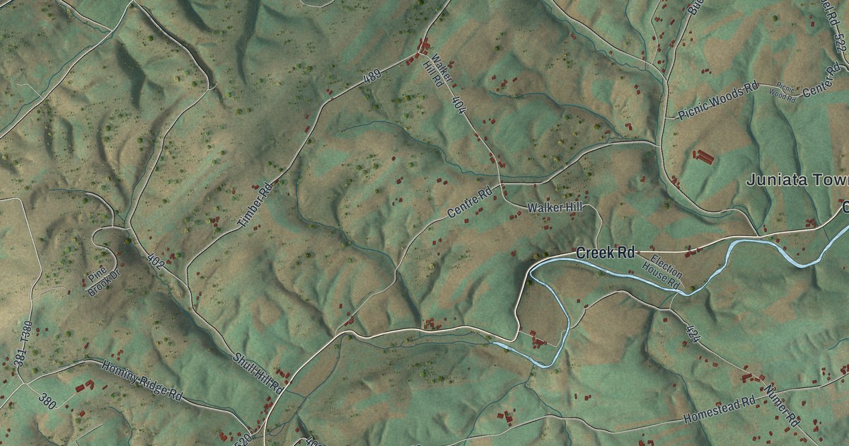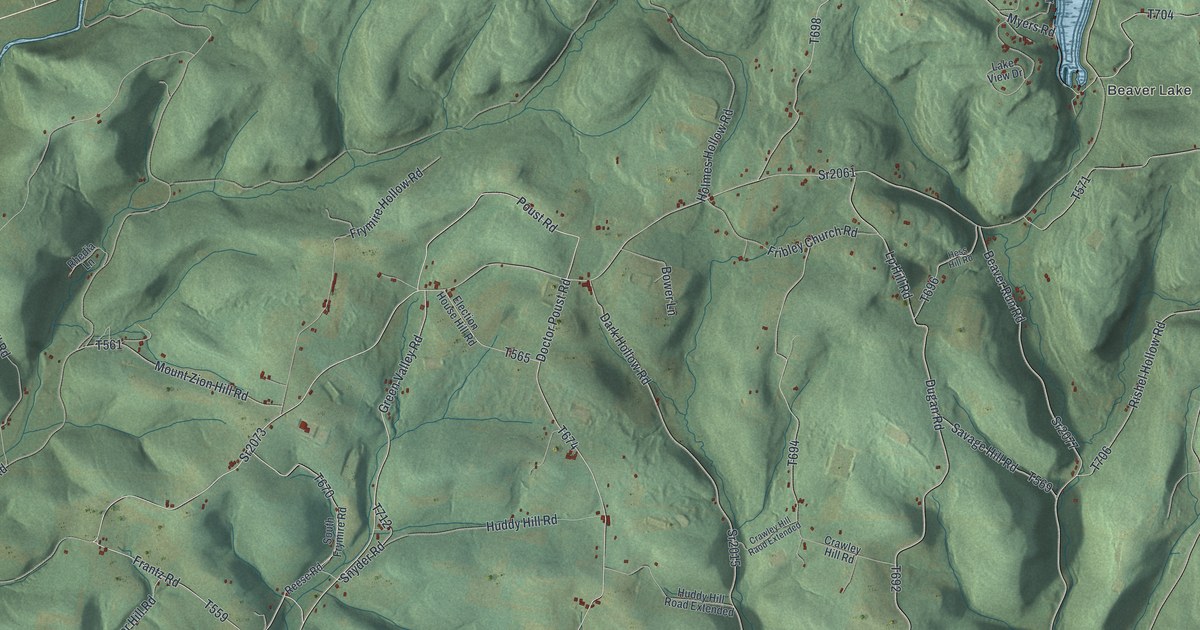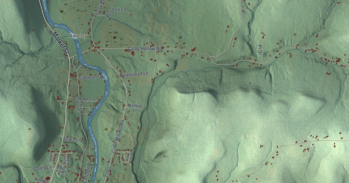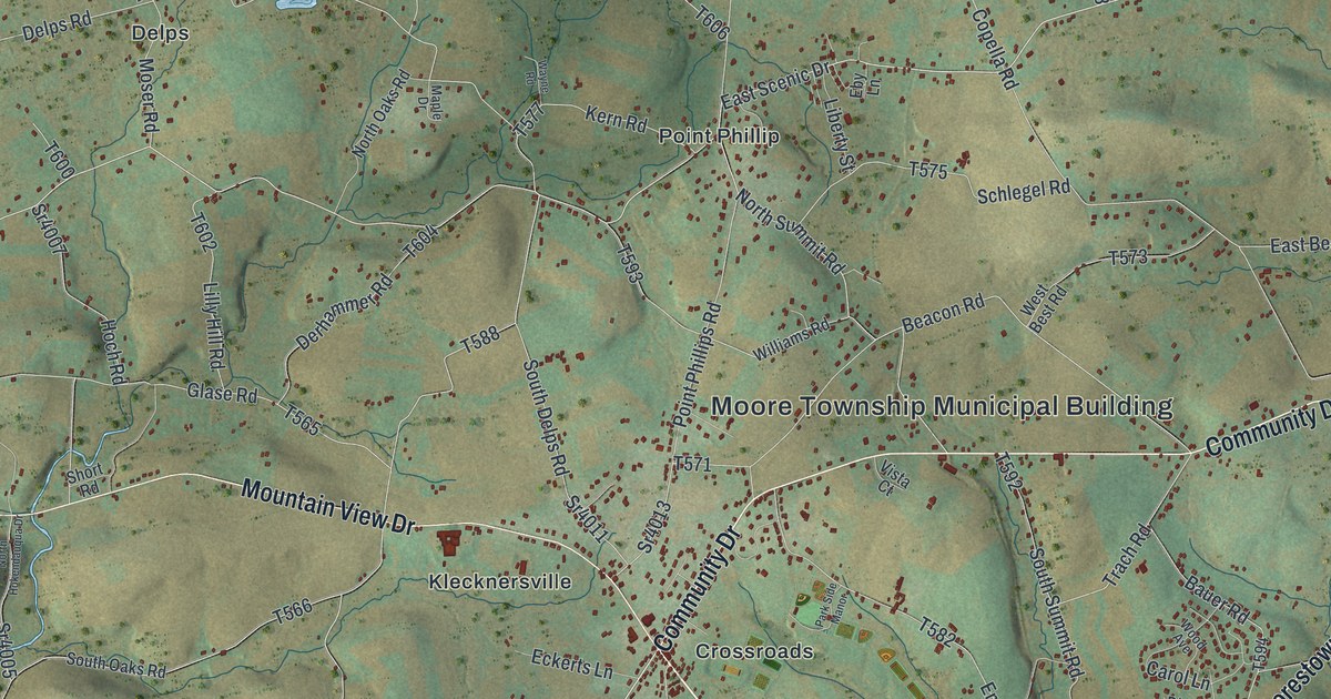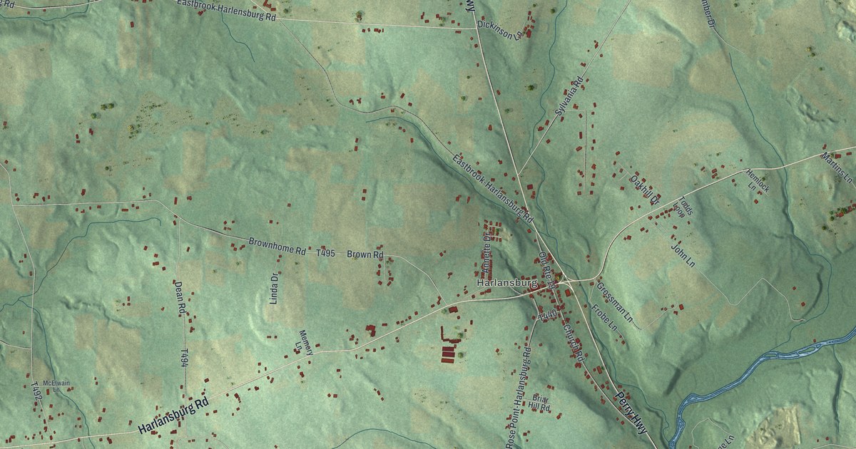
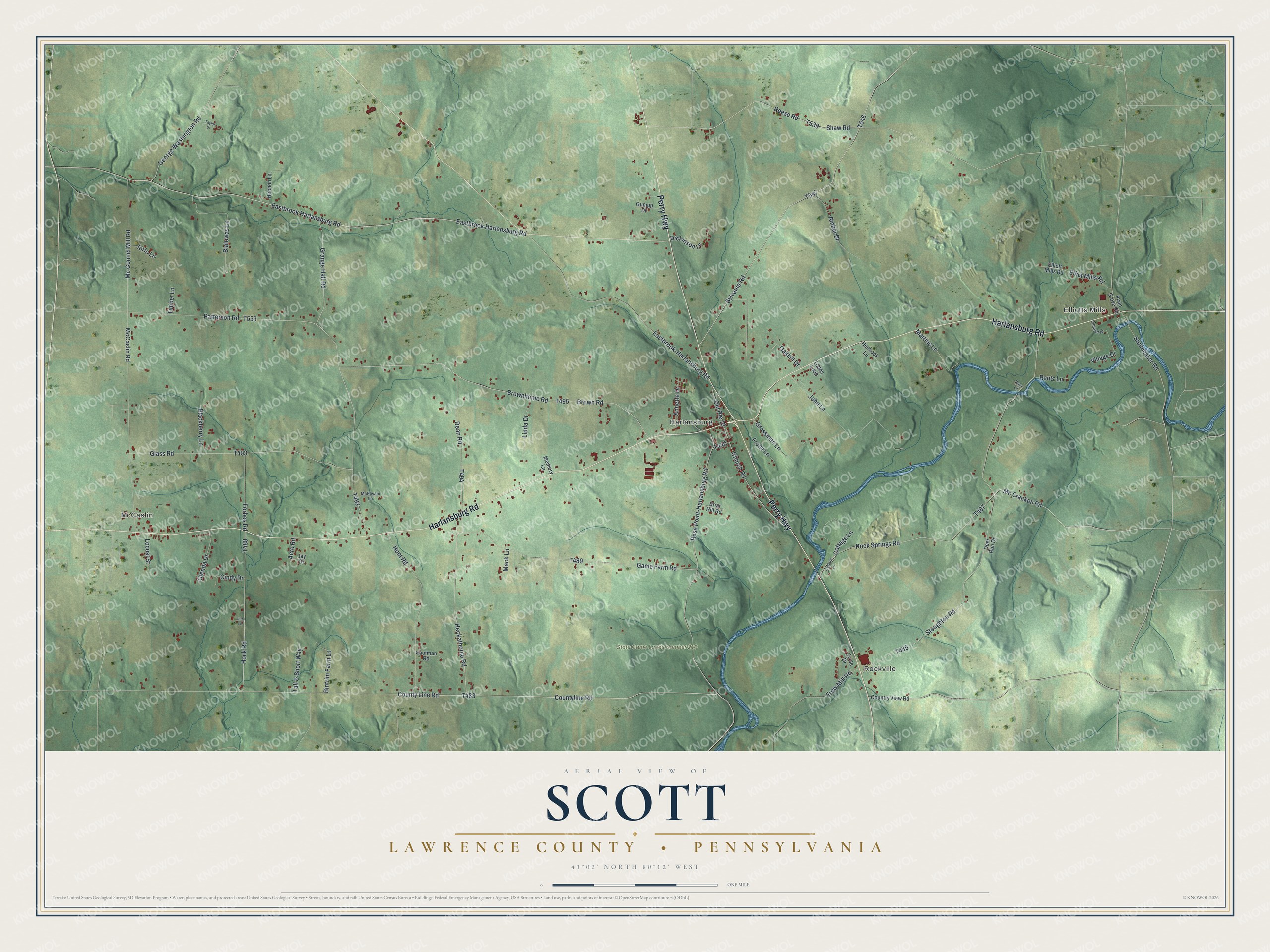
This beautifully detailed map of Scott, Lawrence County, Pennsylvania was created in 2026 using aerial imagery combined with modern topographical, census, street and landmark data. It's a modern aerial view of Scott, Lawrence County in Lawrence County, Pennsylvania, that combines modern data with a vintage aesthetic. The roads feature printed names, and if you look closely you can find your exact house accurately shown in its correct location.
Explore an aerial view of Scott, Lawrence County, Pennsylvania
On this map you'll find McCaslin, Elliotts Mills, Rockville, Harlansburg, State Game Lands Number 216, Perry Highway, Harlansburg Road, Countyline Road, T483, T547, Eastbrook Harlansburg Road, Houk Road, and more. Each red shape is a building, so zoom in on the preview and look for yours.
Scott, Lawrence County has a story worth telling. The Atlas of the County of Lawrence puts it this way: "Adam Pisor was one of the first settlers, coming to what is now Scott township about 1798, locating on the east side of Slippery Rock creek, on the farm now owned by William Pisor."
Scott, Lawrence County is a place in Lawrence County. The Census Bureau counted 2,176 people here in 2020.
Take a closer look at the Scott, Lawrence County map
Names on this map
These names are printed on this map.
Places: McCaslin, Elliotts Mills, Rockville, Harlansburg and State Game Lands Number 216.
Streets and roads: Perry Highway, Harlansburg Road, Countyline Road, Eastbrook Harlansburg Road, Houk Road, Eastbrook Harlensburg Road, Heckathorne Road, Church Road, Forbes Road, County Line Road, Stoughton Road, McCaslin Road.
More street names, A to Z
Acre Road, Amber Drive, Annette Drive, Bialowas Lane, Bintrim Farm Lane, Blackberry Lane, Briar Hill Road, Brownhome Road, Brown Road, Cindy Drive, Cottage Lane, Country View Road, Cycle Drive, Dean Road, Deer Run Drive, Dickinson Lane, Eastbrook-Harlansburg Road, Elliot Mills Road, Elliott Mills Road, Frew Mill Road, Frobe Lane, Game Farm Road, Gaylord Lane, George Washington Road, Glass Road, Glenda Drive, Grange Hall Road, Grossman Lane, Gumpp Drive, Hemlock Lane, Hennon Lane, Hunt Road, Iorio Lane, Jay Drive, Jerry Lane, John Lane, Kaufman Road, Linda Drive, Locust Street, Mack Lane, Martins Lane, Mc Connel Mill Road, Mc Cracken Road, McElwain Lane, Memory Lane, Oakhill Drive, Old Route 19, Pats Lane, Patterson Road, Plain Grove Road, Reese Road, Rentz Lane, Rock Springs Road, Rose Point-Harlansburg Road, Shaw Road, Studebaker Road, Sylvania Road, Tall & Short Way, Taylor Drive, Timber Lane, Todds Loop, Village Drive, Village Road.
See it on a wall
The Scott, Lawrence County map as a framed print. Swipe for more.


Created by KNOWOL in 2026. The buildings are small red shapes, the roads carry their printed names, and shaded relief shows the shape of the land. The title panel reads "AERIAL VIEW OF SCOTT, LAWRENCE COUNTY • PENNSYLVANIA" with 41°02' NORTH 80°12' WEST.
It looks right in a kitchen, an office or a den, and it's a gift for anyone who grew up in Scott, Lawrence County or moved away. Open the preview and find your street. See sizes and frames for the Scott, Lawrence County map.