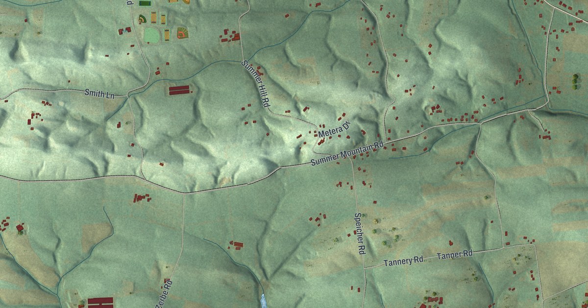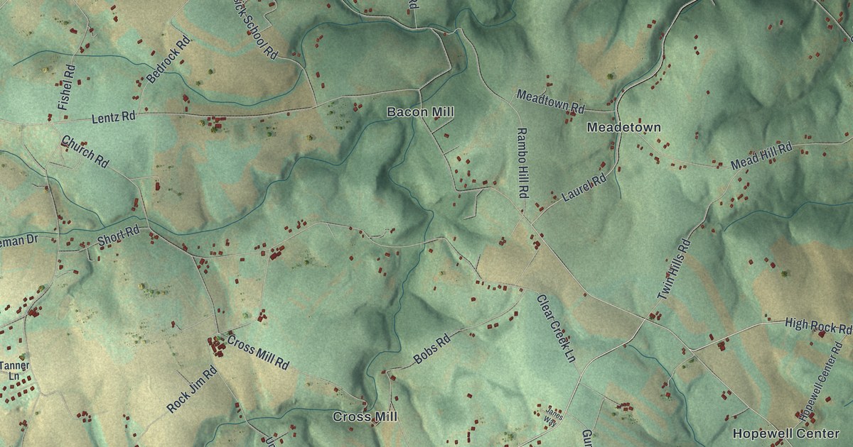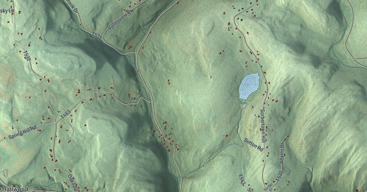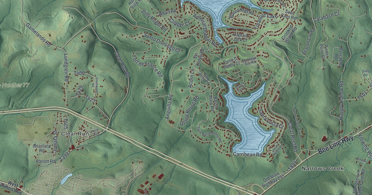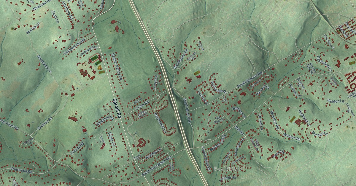
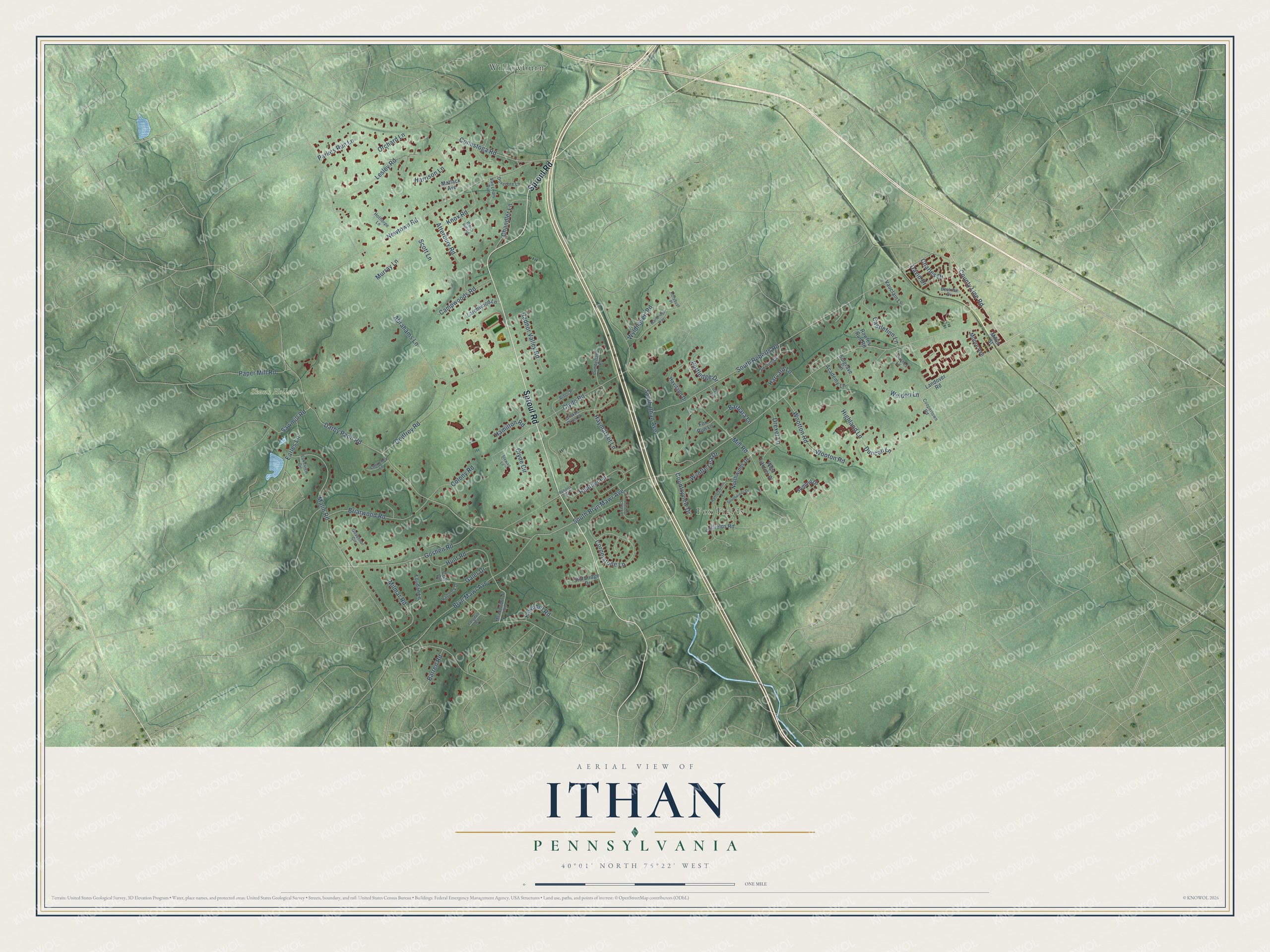
This beautifully detailed map of Ithan, Pennsylvania was created in 2026 using aerial imagery combined with modern topographical, census, street and landmark data. It’s a one-of-a-kind view of Ithan that combines accurate data with a vintage aesthetic. The map shows every building in its true location, many of the roads carry their names, and the shaded topographic relief shows the shape of the land.
Explore an aerial view of Ithan, Pennsylvania
On the map you’ll find Skunk Hollow, Willowburn, and Fox Fields, along with Sproul Road, County Line Road, South Bryn Mawr Avenue, Darby Paoli Road, Abrahams Lane, Duncan Lane, Newtown Road, South Roberts Road, Godfrey Road, and more. If you look closely you can even find your house accurately drawn in its correct location. Zoom in on the preview to look for yours.
Did You Know?
From Internet Archive: "Jesse, son of Samuel, established a flour mill on Ithan Creek, near the Haverford line."
Ithan is a community in Delaware County.
Take a closer look at the Ithan map
Names on this map
These names are printed on this map.
Places: Skunk Hollow, Willowburn and Fox Fields.
Streets and roads: Sproul Road, County Line Road, South Bryn Mawr Avenue, Darby Paoli Road, Abrahams Lane, Duncan Lane, Newtown Road, South Roberts Road, Godfrey Road, South Ithan Avenue, Malin Road, Hunt Road.
More street names, A to Z
Academy Lane, Arbor Place, Atterbury Road, Barbara Lane, Barren Road, Beatrice Drive, Birches Lane, Briarwood Road, Bryn Mawr Avenue, Campwoods Road, Castlefinn Lane, Chandler Lane, Charles Drive, Clyde Circle, Clyde Road, Colony Road, Colt Drive, Conestoga Road, Coopertown Road, Cornell Drive, Cornerstone Lane, Countryview Drive, Cumberland Place, David Drive, Dawn Lane, Dovecote Lane, Drakes Drum Drive, Drexel Lane, Earles Lane, Fawnhill Road, Foxfields Road, Fox Run Lane, Galer Drive, Goshen Road, Governor Circle, Hamilton Road, Harrison Lane, Harvard Lane, Haviland Drive, Haymarket Lane, Heather Lane, Highland Lane, Hollybush Place, Hothorpe Lane, Knox Road, Lakeview Circle, Landover Road, Langdale Road, Larchwood Lane, Lawrence Lane, Lesley Road, Loudan Lane, Marlbridge Way, Matlack Avenue, Meadowbrook Lane, Miller Street, Mill Road, Milmar Road, Moore Avenue, Murray Lane, Northwinds Drive, Orchard Lane, Paddock Drive, Paper Mill Road, Parkes Run Lane, Portledge Drive, Radnor Valley Road, Ramblewood Drive, Rawles Run Road, Roberts Road, Sawmill Road, Scott Lane, Southwinds Drive, Stewart Lane, Stone Creek Lane, Sturbridge Drive, Sulgrave Lane, Summit Drive, Van Lears Run, Vauclain Lane, Watch Hill Road, Weldon Lane, West Laurier Place, Wooton Road, Wootton Road, Wyldhaven Road, Wyntre Lea Drive.
See it on a wall
The Ithan map as a framed print. Swipe for more.


This beautifully detailed map of Ithan makes an attractive addition to your office, library, or den, and it can even be used to teach children the geography and history of the area. It also makes a great gift for someone who left Ithan and still calls it home. When you’re done exploring, click here to get your copy of the Ithan map.