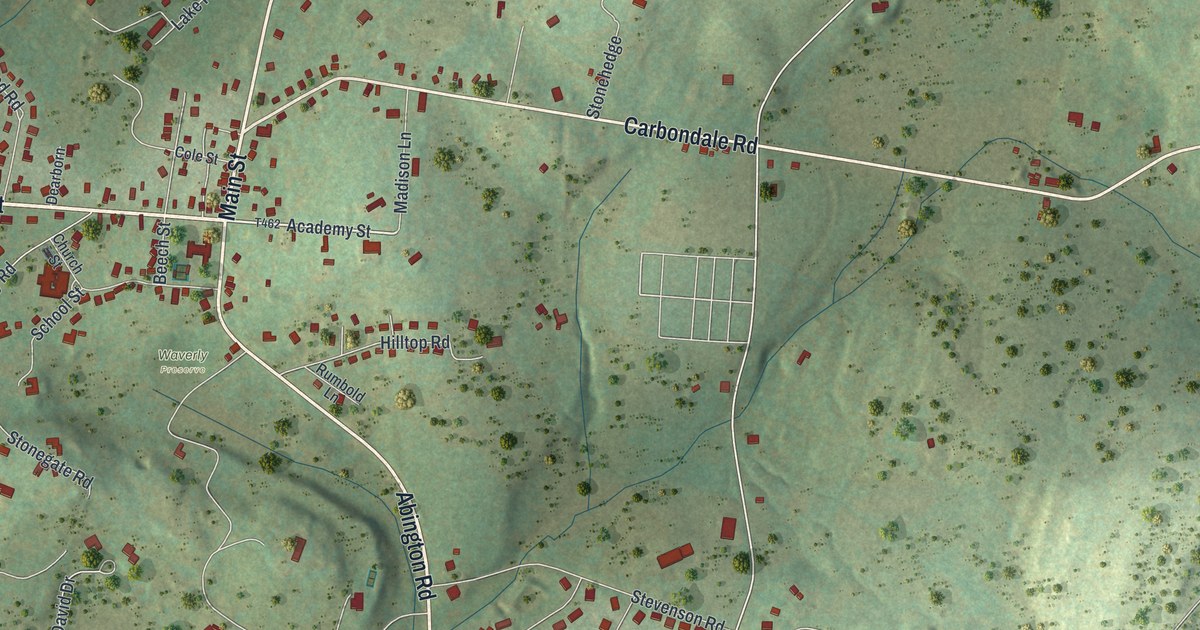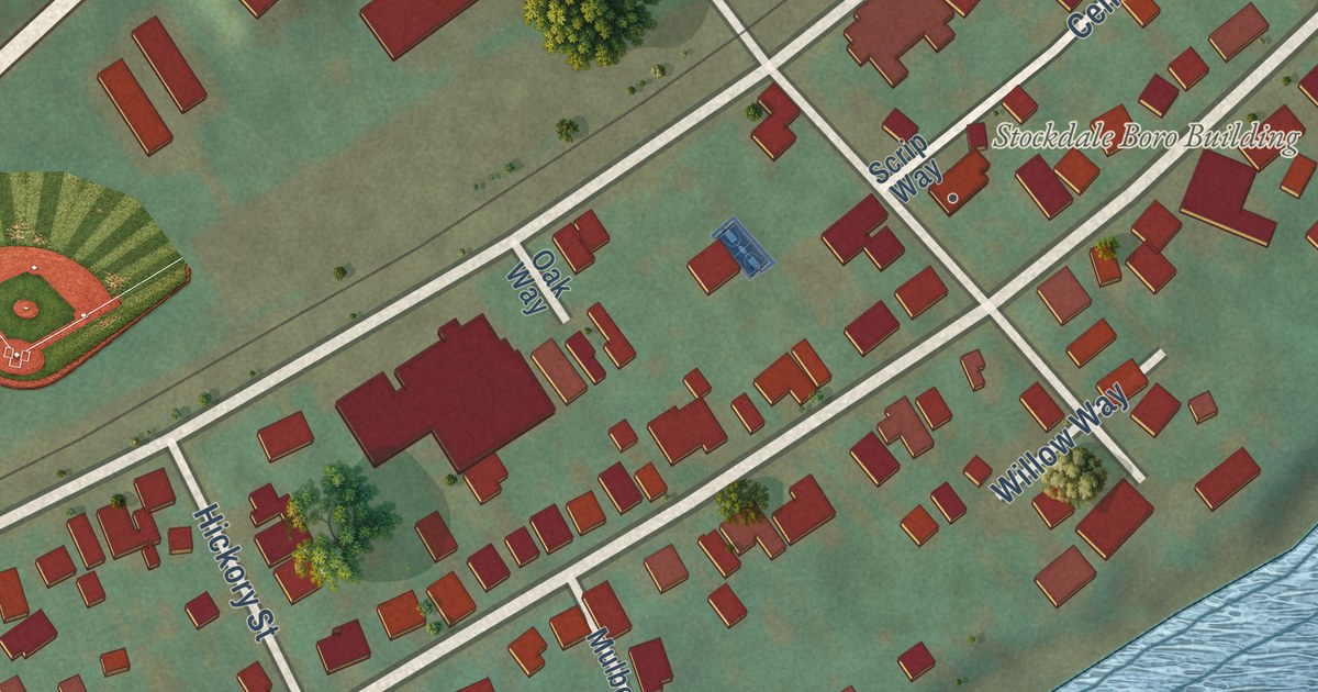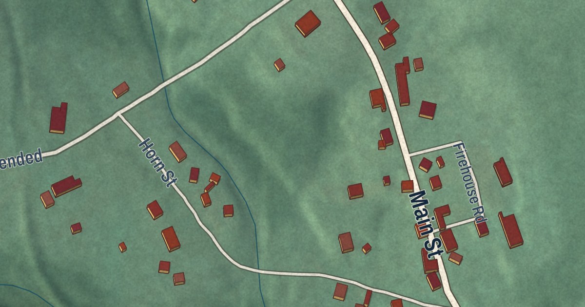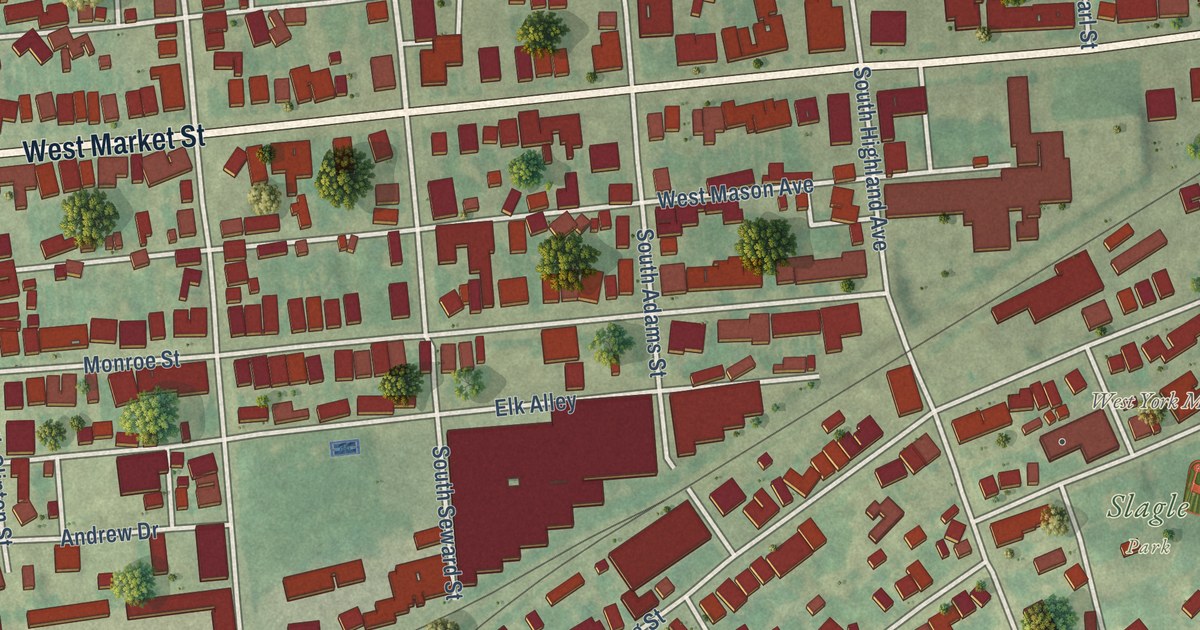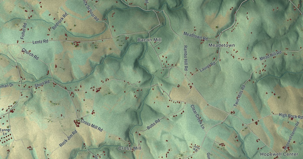
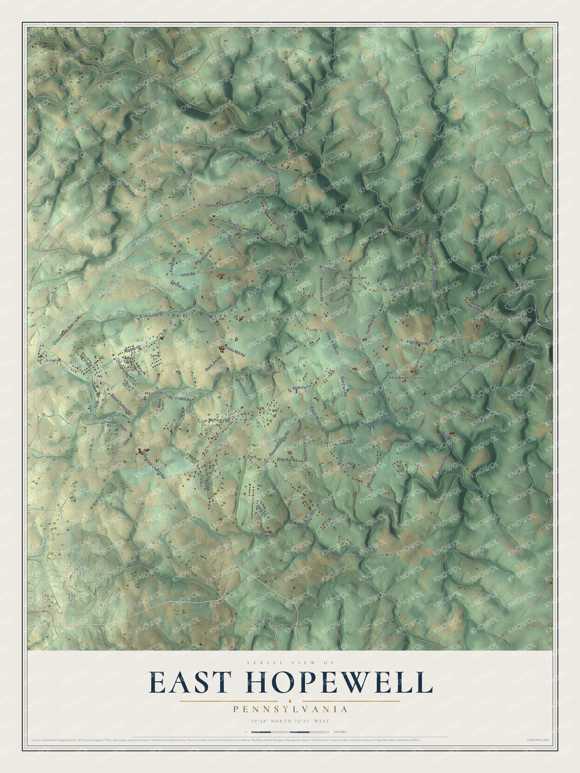
This beautifully detailed map of East Hopewell, Pennsylvania was created in 2026 using aerial imagery combined with modern topographical, census, street and landmark data. It’s a one-of-a-kind view of East Hopewell that combines accurate data with a vintage aesthetic. The map shows every building in its true location, many of the roads carry their names, and the shaded topographic relief shows the shape of the land.
Explore an aerial view of East Hopewell, Pennsylvania
On the map you’ll find Rinely, Grove Mill, Bacon Mill, Cross Mill, Dolf, Highrock, Hopewell Center, Hyson Hill, Laurel, Meadetown, and Muddy Creek Forks, along with High Rock Road, and more. If you look closely you can even find your house accurately drawn in its correct location. Zoom in on the preview to look for yours.
Did you know this piece of East Hopewell, Pennsylvania history?
From East Hopewell Township: "On May 5, 1883, a petition was presented to the York County Court requesting that Hopewell Township be divided. The court determined that three separate townships would better serve the people, and in June 1885, East Hopewell Township was officially incorporated alongside Hopewell and North Hopewell."
Take a closer look at the East Hopewell map
Street and place names on the East Hopewell, Pennsylvania map
These names are printed on the map of East Hopewell, Pennsylvania.
Places: Rinely, Grove Mill, Bacon Mill, Cross Mill, Dolf, Highrock, Hopewell Center, Hyson Hill, Laurel, Meadetown and Muddy Creek Forks.
Streets and roads: High Rock Road, Muddy Creek Forks Road, Cross Roads Avenue, Hickory Road, Hollow Road, Fulton School Road, Century Farms Road, Round Hill Church Road, Blue Ball Road, Church Road, Laurel Road, Pleasant Valley Road.
More street names, A to Z
Bedrock Road, Bobs Road, Bosley Road, Brenneman Drive, Clear Creek Lane, Coal Hill Road, Collins School Road, Cross Mill Road, Curvin Drive, Deer Lane, Dolf Road, Edgar Woods Road, Fishel Road, Glessick School Road, Grove Mill Road, Guinston Road, Gun Club Road, Haugh Road, Hopewell Center Road, Hyson Mill Road, Hyson School Road, Janes Way, Keesey Court, Kline Young Road, Lentz Road, Lowe Road, Lutz Road, Maize Road, Manifold Road, Manifold School Road, Marys Circle, McCleary Road, Mead Hill Road, Meadtown Road, Mountain Road, Muddy Creek Road, Mutton Road, Nancy Lou Lane, Rambo Hill Road, Rambo Road, Ramsay Circle, Rock Jim Road, Sally Ann Road, Short Road, Sparklin Springs Lane, T-634, Tanner Lane, Thompson Road, Trout School Road, Twin Hills Road, Union Church Road, Veach Road, Walnut Road, Wheat Road, Woods Road.
See the East Hopewell, Pennsylvania map on a wall
The East Hopewell map as an 18 x 24 inch print in a black frame.

This beautifully detailed map of East Hopewell makes an attractive addition to your office, library, or den, and it can even be used to teach children the geography and history of the area. It also makes a great gift for anyone who grew up in East Hopewell or moved away. When you’re done exploring, click here to get your copy of the East Hopewell map.