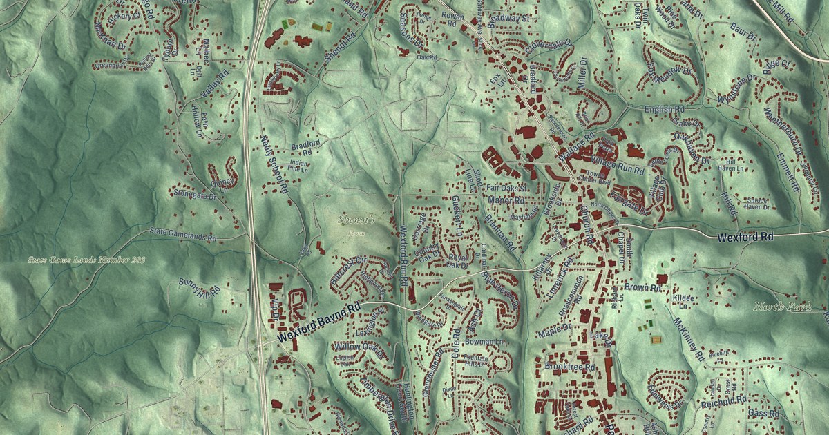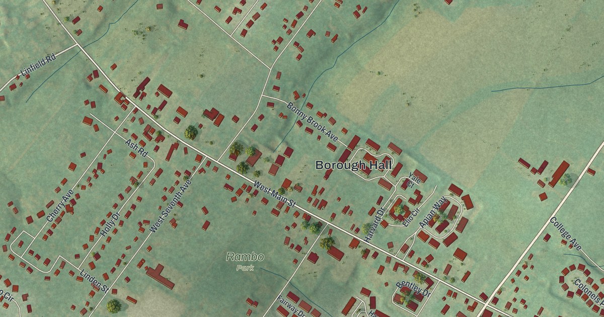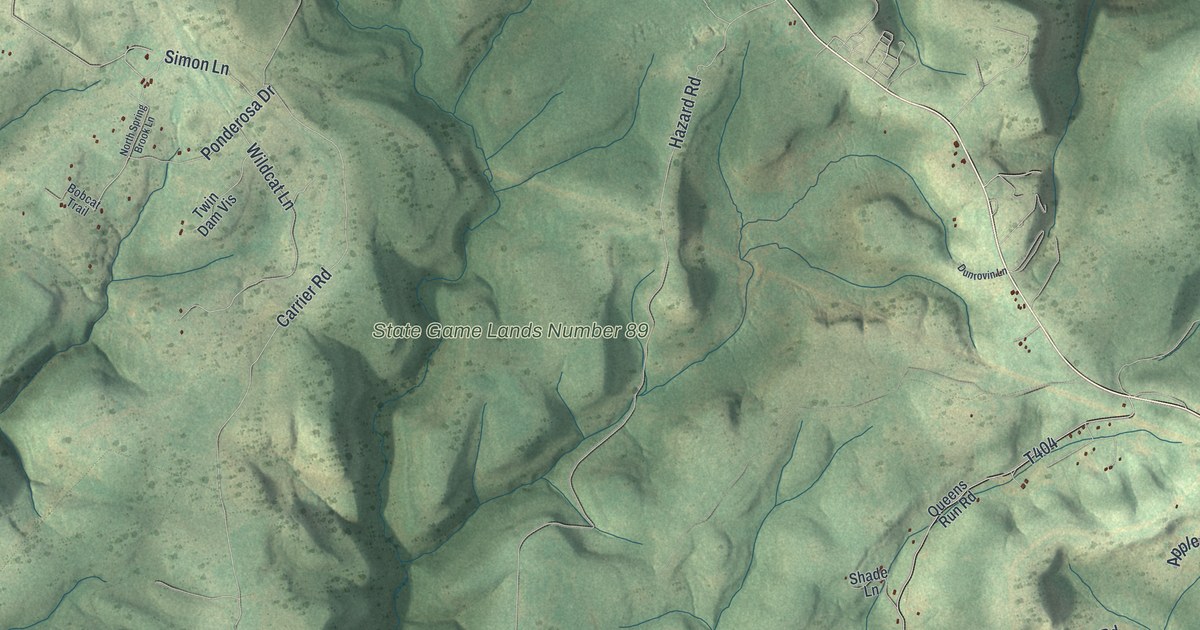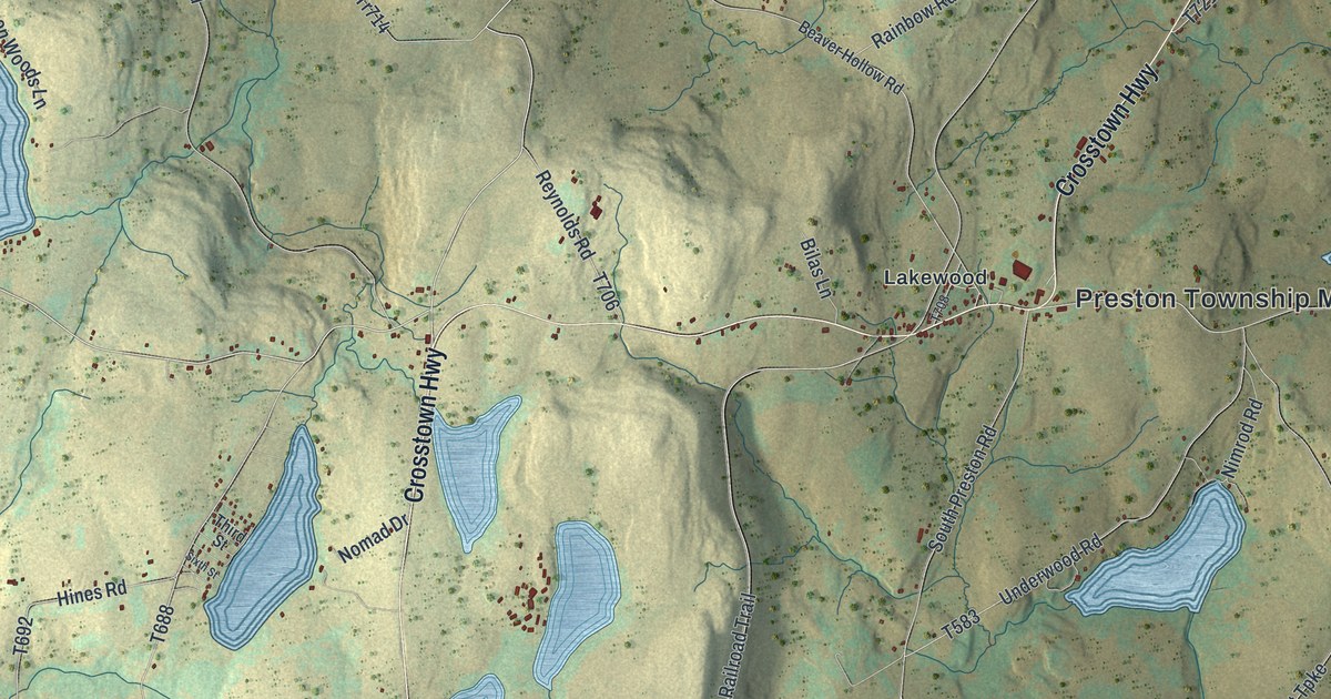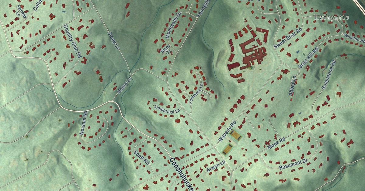
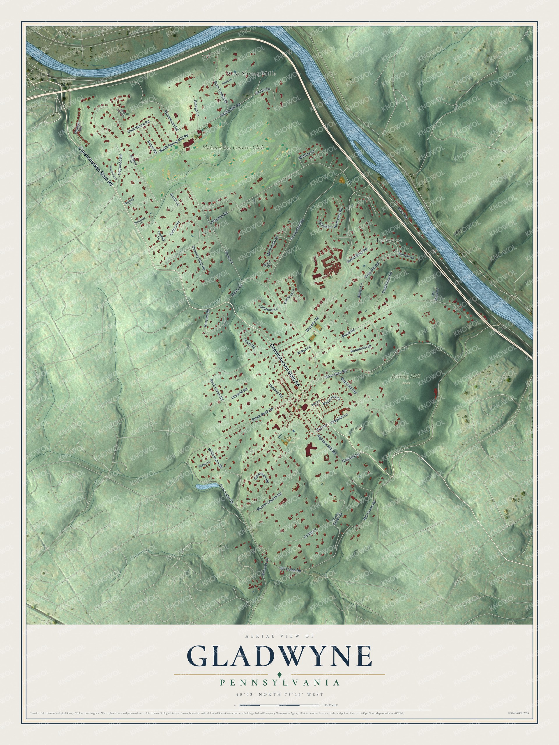
This beautifully detailed map of Gladwyne, Pennsylvania was created in 2026 using aerial imagery combined with modern topographical, census, street and landmark data. It’s a one-of-a-kind view of Gladwyne that combines accurate data with a vintage aesthetic. The map shows every building in its true location, many of the roads carry their names, and the shaded topographic relief shows the shape of the land.
Explore an aerial view of Gladwyne, Pennsylvania
On the map you’ll find Gladwyne Park, Rolling Hill Park, West Spring Mills, Lafayette, and Philadelphia Country Club, along with Conshohocken State Road, Stony Lane, Youngsford Road, Waverly Road, Lafayette Road, Mill Creek Road, North Spring Mill Road, and more. If you look closely you can even find your house accurately drawn in its correct location. Zoom in on the preview to look for yours.
Did You Know?
From Internet Archive: "Another post-oflfice was at Merion, Lower Merion, or Merion Square, as variously called, a village now, called Gladwyne."
Gladwyne is a community in Montgomery County.
Take a closer look at the Gladwyne map
Names on this map
These names are printed on this map.
Places: Gladwyne Park, Rolling Hill Park, West Spring Mills, Lafayette and Philadelphia Country Club.
Streets and roads: Conshohocken State Road, Stony Lane, Youngsford Road, Waverly Road, Lafayette Road, Mill Creek Road, North Spring Mill Road, Spring Mill Road, River Road, Righters Mill Road, Monk Road, Rose Glen Road.
More street names, A to Z
Abbey Lane, Aloha Lane, Arwyn Lane, Barr Lane, Beaumont Drive, Black Rock Road, Briar Hill Road, Bryn Tyddyn Drive, Club House Road, Colton Road, Country Club Road, Crosby Brown Road, Dixon Lane, Dodds Lane, Dogwood Road, Dove Lake Road, Fairway Lane, Fenimore Lane, Ginkgo Lane, Glenmoor Road, Greaves Lane, Gunning Lane, Henry Lane, Howard Road, Huntsman Lane, Idlewild Road, Limberlost Lane, Maplecrest Circle, Maple Hill Road, Martins Lane, Merion Square Road, Millcreek Road, Mirabeau Lane, Monticello Drive, Norsam Road, North Lane, Old Gulph Road, Old Monk Road, Riverview Road, Robin Road, Rock Creek Road, Scott Road, Sentry Lane, Soapstone Road, South Avignon Drive, Stony Circle, Sweet Briar Road, Sylvan Lane, Vaughan Lane, Waterford Court, Wesleys Run, Williamson Road, Winston Road, Winters Lane, Woodmont Road.
See it on a wall
The Gladwyne map as a framed print. Swipe for more.


This beautifully detailed map of Gladwyne makes an attractive addition to your office, library, or den, and it can even be used to teach children the geography and history of the area. It also makes a great gift for anyone who grew up in Gladwyne or moved away. When you’re done exploring, click here to get your copy of the Gladwyne map.