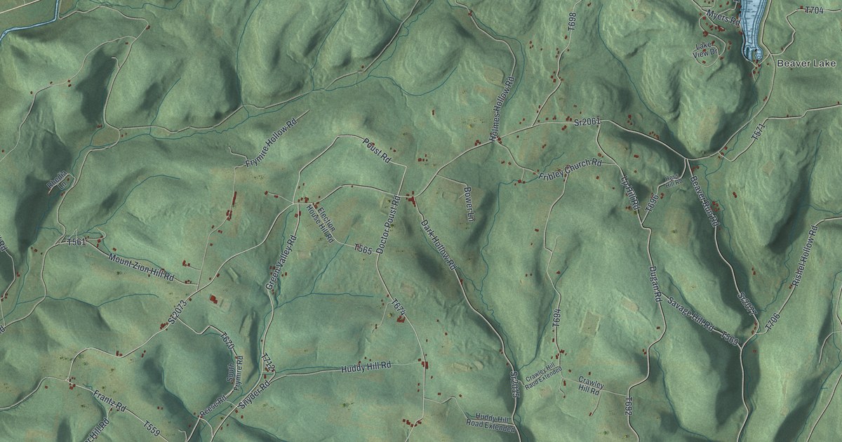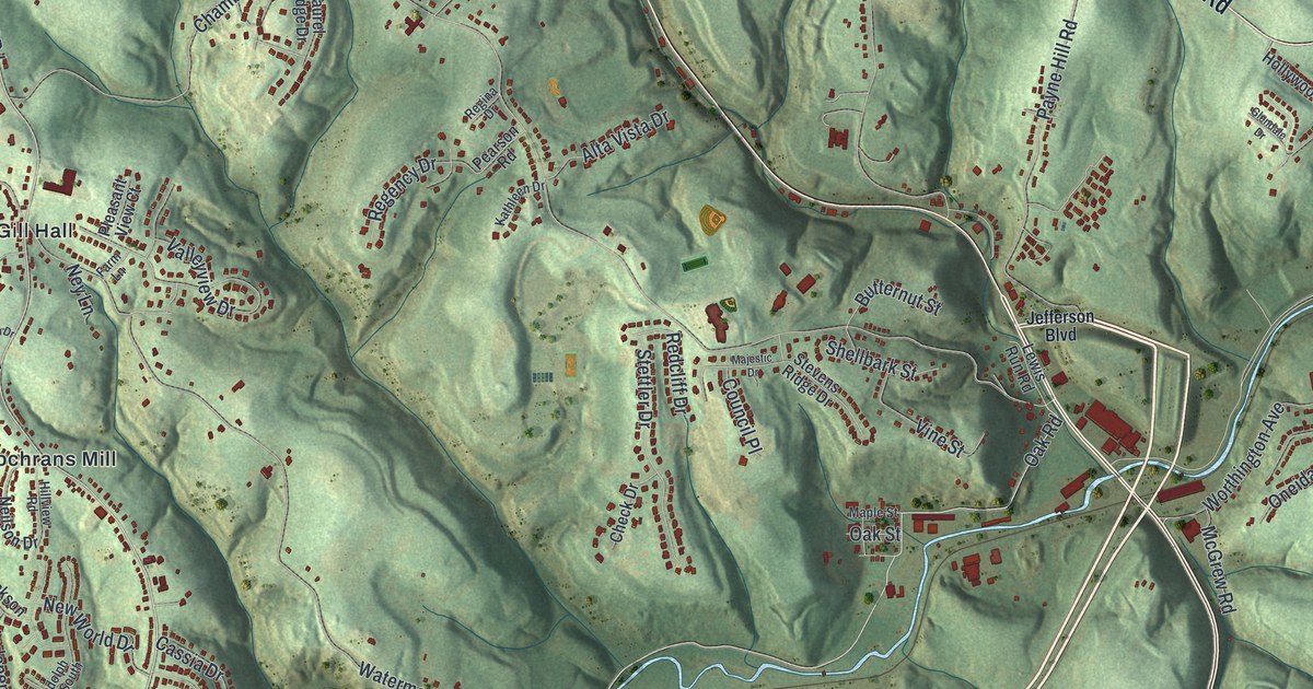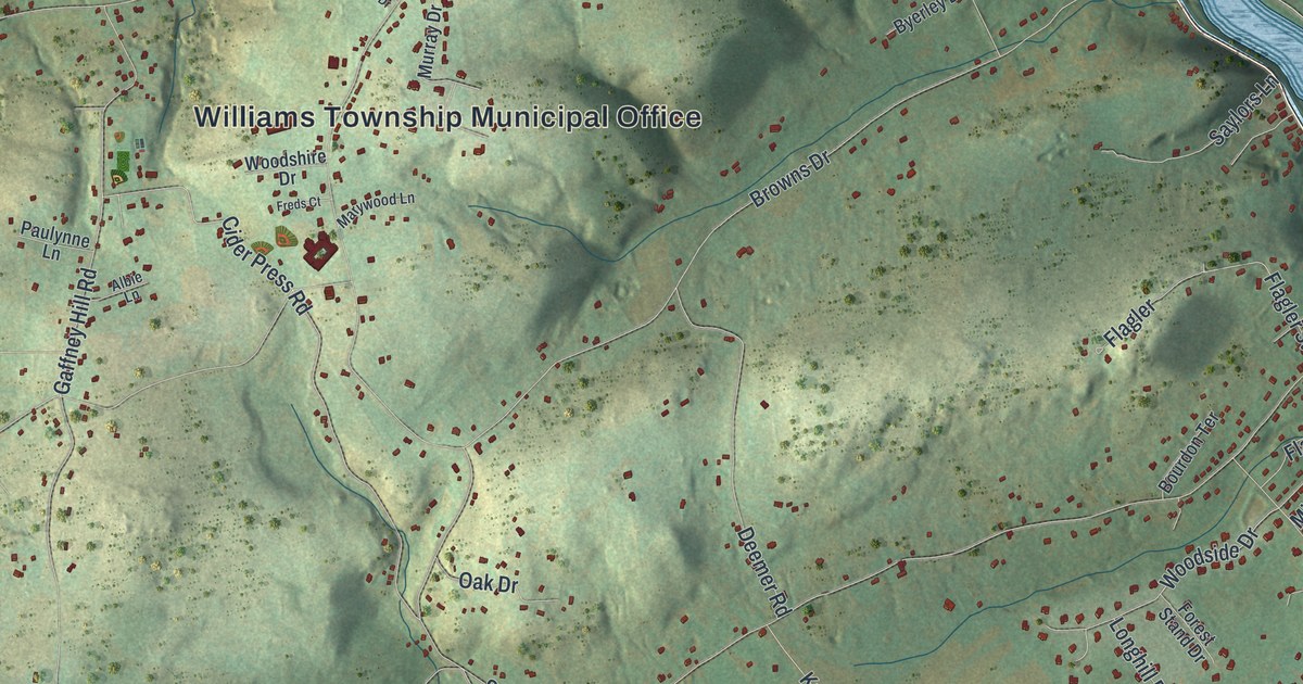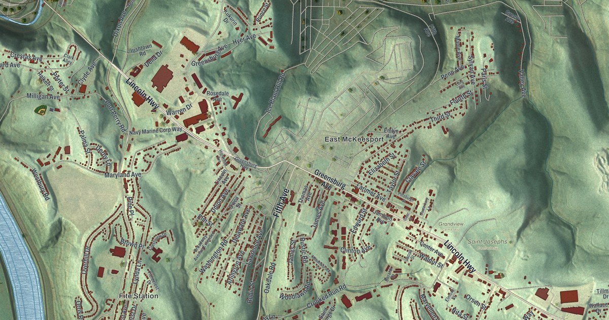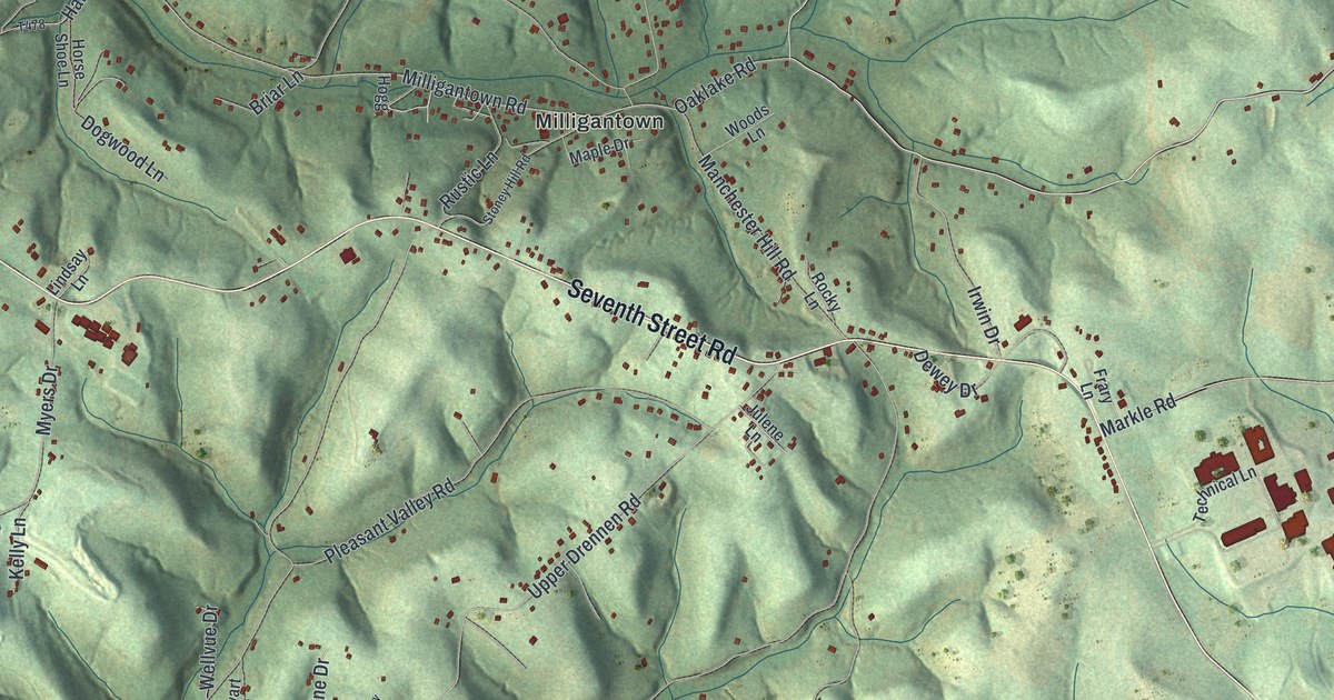
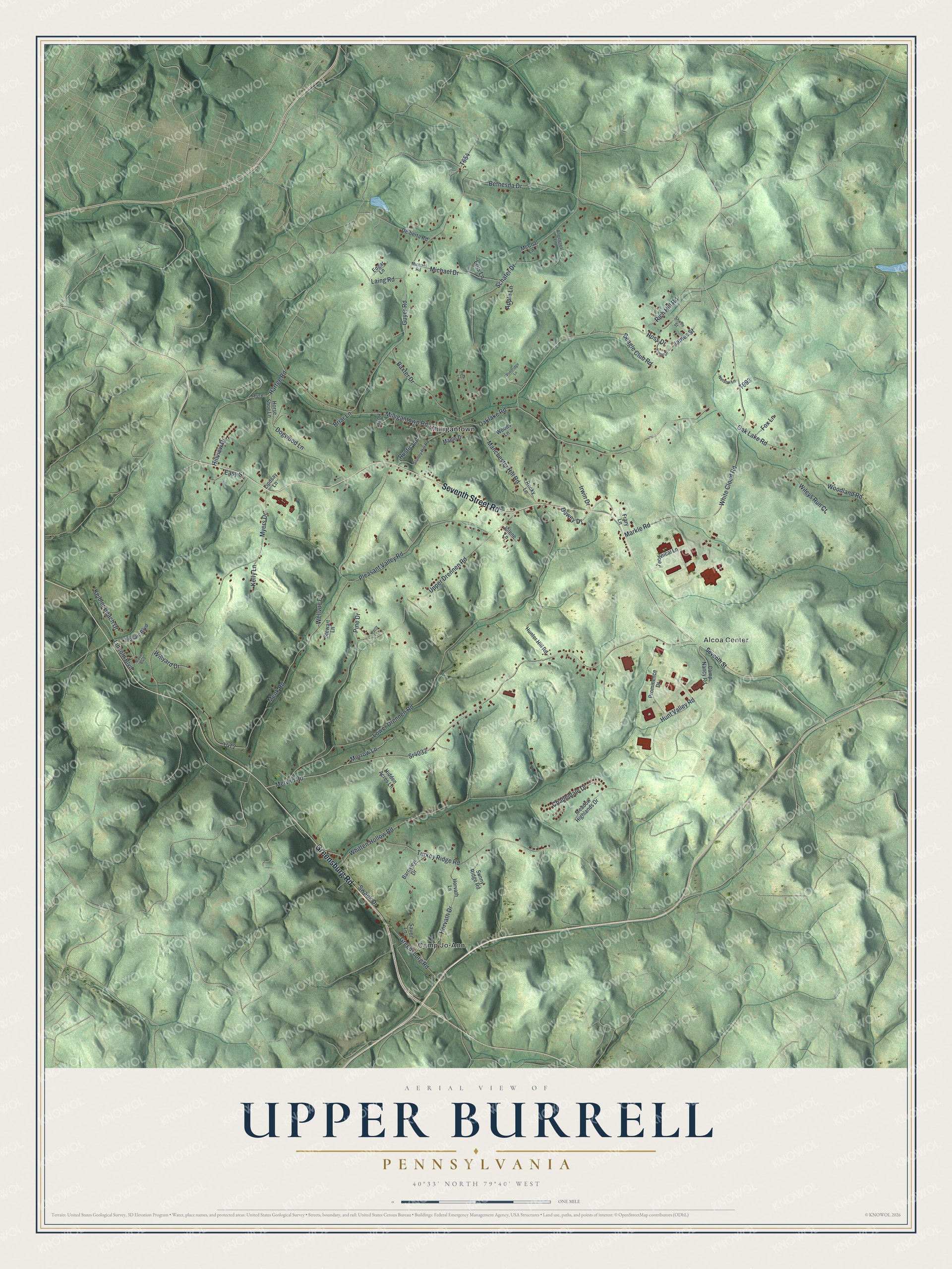
This beautifully detailed map of Upper Burrell, Pennsylvania was created in 2026 using aerial imagery combined with modern topographical, census, street and landmark data. It's a modern aerial view of Upper Burrell in Westmoreland County, Pennsylvania, that combines modern data with a vintage aesthetic. The roads feature printed names, and if you look closely you can find your exact house accurately shown in its correct location.
Explore an aerial view of Upper Burrell, Pennsylvania
On this map you'll find Alcoa Center, Camp Jo-Ann, Milligantown, Seventh Street Road, Greensburg Road, Oak Lake Road, Rich Hill Road, Merwin Road, Sr4032, Milligantown Road, James Street, Rustic Lane, and more. Each red shape is a building, so zoom in on the preview and look for yours.
Here is a piece of Upper Burrell history, in the words of the record. The record at data.pa.gov puts it this way: "In 1874, the Works was the first to power its operation with natural gas instead of coal."
Upper Burrell is a place in Westmoreland County. The Census Bureau counted 2,164 people here in 2020.
Take a closer look at the Upper Burrell map
Names on this map
These names are printed on this map.
Places: Alcoa Center, Camp Jo-Ann and Milligantown.
Streets and roads: Seventh Street Road, Greensburg Road, Oak Lake Road, Rich Hill Road, Merwin Road, Sr4032, Milligantown Road, James Street, Rustic Lane, Menk Road, Lower Drennen Road, Upper Drennen Road.
More street names, A to Z
Angelcrest Lane, Apple Lane, Barnview Drive, Baxter Drive, Beagle Club Road, Bethesda Drive, Briar Lane, Camp Nancy Road, Chapeldale Drive, Davis Boulevard, Delberta Road, Dewey Drive, Dogwood Lane, Easy Street, Edgar Lane, Fox Lane, Frary Lane, Guyer Road, Hartge Road, Hidden Acres Lane, Hillview Drive, Hogg, Horse Shoe Lane, Horvath Drive, Horvath Lane, Hunter Hill Road, Hunt Valley Road, Irwin Drive, Julene Lane, Keibler Beach Drive, Kelly Lane, Knoll Drive, Laing Road, Lincoln Boulevard, Lindsay Lane, Lois Lane, Manchester Hill Road, Maple Drive, Markle Road, McCoal Lane, Meadow Highlands Drive, Michael Drive, Michael Road, Morrow Lane, Mosaic Boulevard, Myers Drive, Nelson Lane, Oaklake Road, Peck Lane, Perry Lane, Pine Drive, Pleasant Valley Road, Prominence Drive, Rocky Lane, Ross Drive, Sauer Lane, Schafer Drive, Seventh Street, Shirlie Street, Stewart Lane, Stoney Hill Road, Sunny Ridge Road, Swank Drive, Technical Lane, Turkey Ridge Road, Wellvue Drive, White Cloud Road, Whitten Hollow Road, Wileys Run Court, Willyard Drive, Woodland Road, Woodridge Lane, Woods Lane.
Created by KNOWOL in 2026. The buildings are small red shapes, the roads carry their printed names, and shaded relief shows the shape of the land. The title panel reads "AERIAL VIEW OF UPPER BURRELL PENNSYLVANIA" with 4, 0, °, 3, 3, ', , N, O, R, T, H, , 7, 9, °, 4, 0, ', , W, E, S, T.
It suits a den, a classroom or a front hall, and it makes a gift for anyone with Upper Burrell roots. Open the preview and find the block you know. See sizes and frames for the Upper Burrell map.