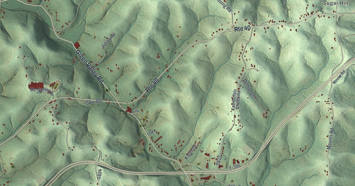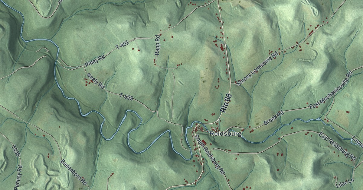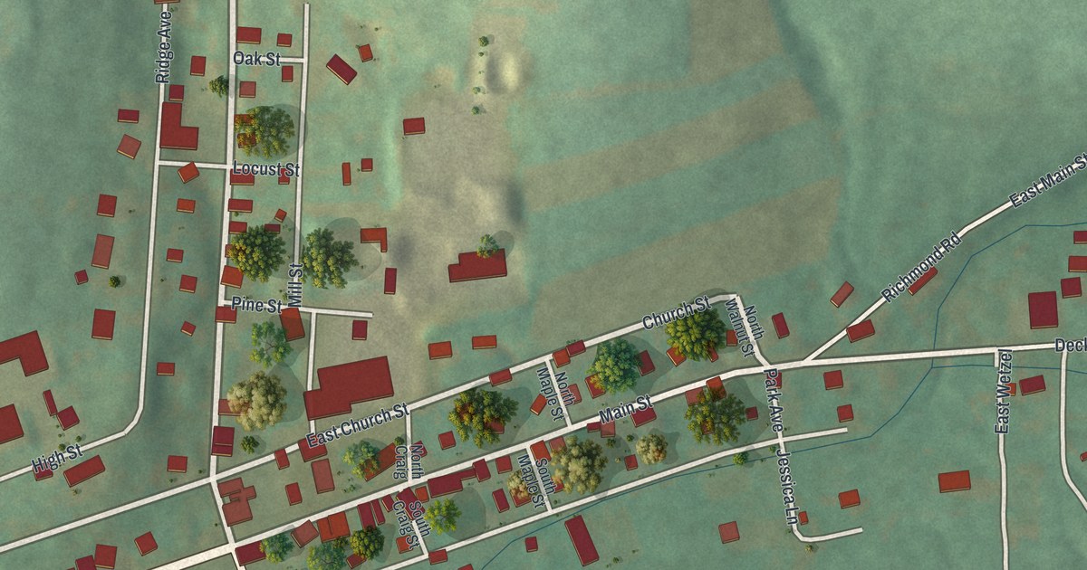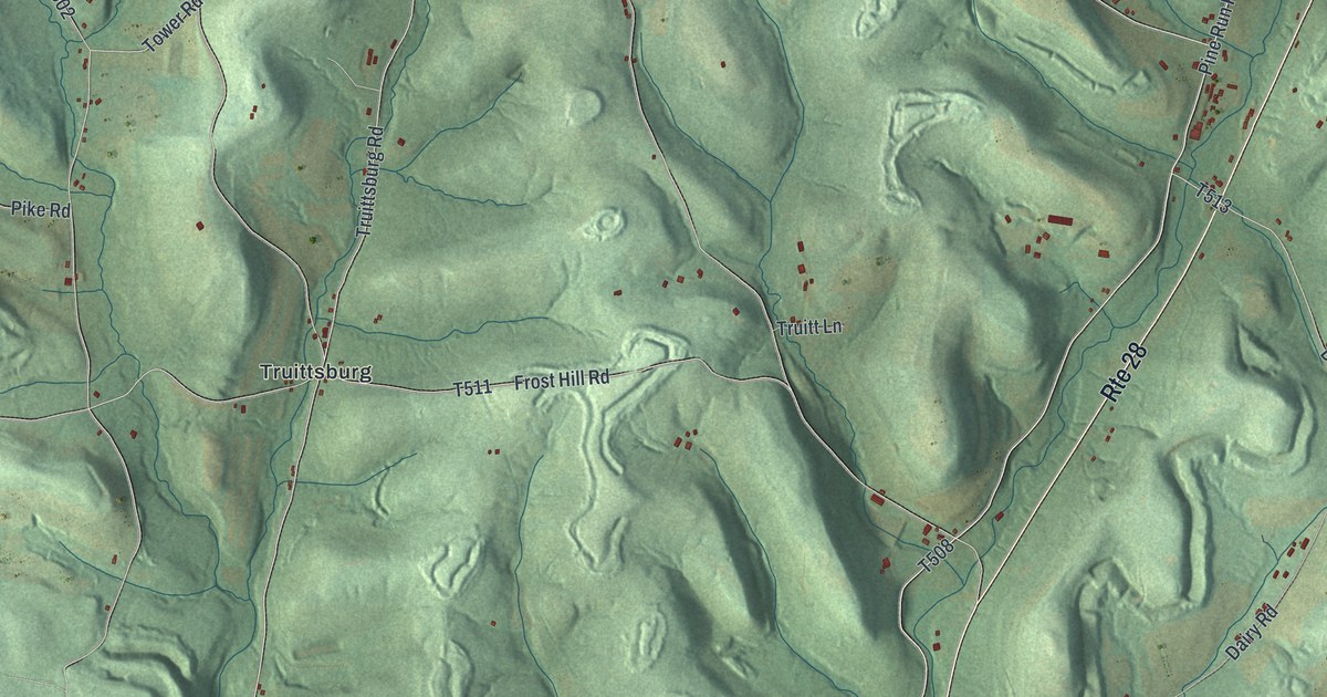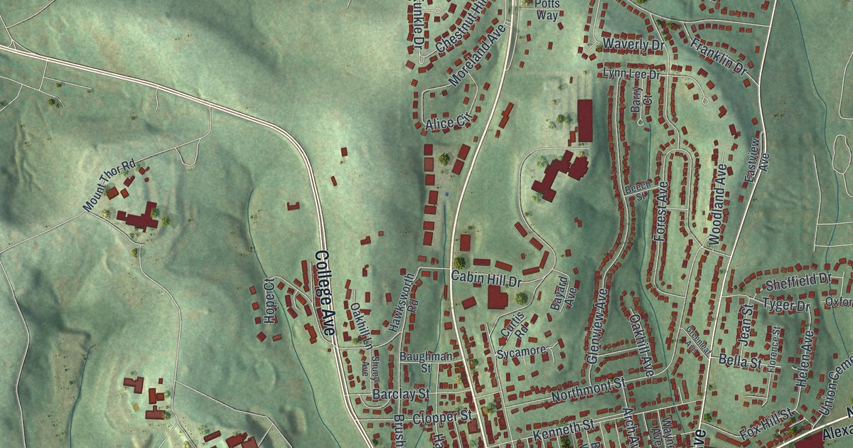
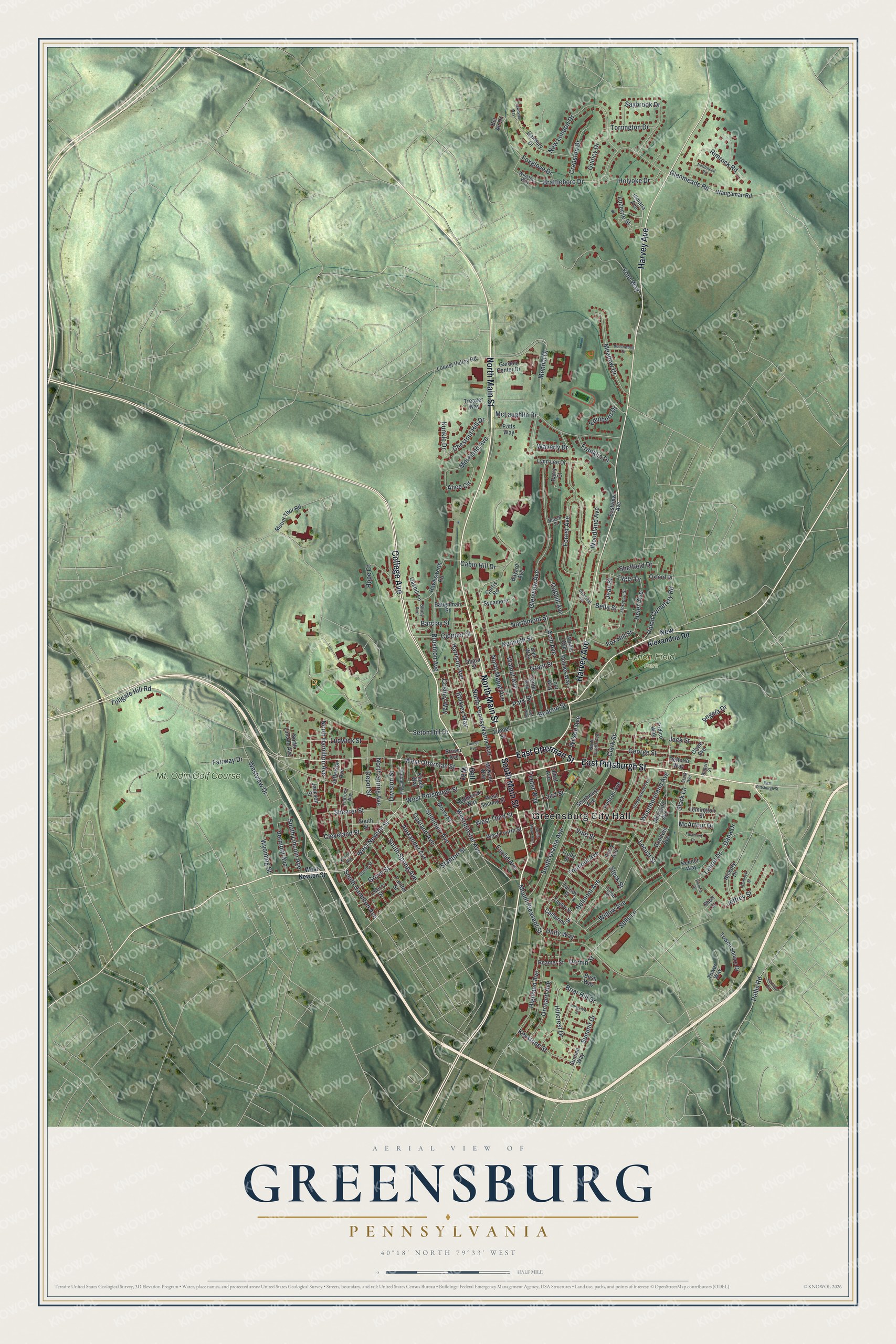
This beautifully detailed map of Greensburg, Pennsylvania was created in 2026 using aerial imagery combined with modern topographical, census, street and landmark data. It’s a one-of-a-kind view of Greensburg that combines accurate data with a vintage aesthetic. The map shows every building in its true location, many of the roads carry their names, and the shaded topographic relief shows the shape of the land.
Explore an aerial view of Greensburg, Pennsylvania
On the map you’ll find Greensburg City Hall and Lynch Field Park, along with College Avenue, East Pittsburgh Street, South Main Street, East Otterman Street, Harvey Avenue, North Main Street, West Otterman Street, West Newton Street, Westmoreland Avenue, Westminster Avenue, and more. If you look closely you can even find your house accurately drawn in its correct location. Zoom in on the preview to look for yours.
Did you know this piece of Greensburg, Pennsylvania history?
From the Pennsylvania Historical and Museum Commission: "Founded in 1870 by Mother Aloysia Lowe and her companions from Cincinnati, the Sisters of Charity of Seton Hill have served over 100 schools in 12 states, established multiple healthcare institutions, and initiated groundbreaking educational and social service programs. They made Greensburg their permanent home in 1882. The sisters founded Seton Hill College, now University, in 1918. In 1960, the Sisters of Charity expanded to Korea."
Take a closer look at the Greensburg map
Street and place names on the Greensburg, Pennsylvania map
These names are printed on the map of Greensburg, Pennsylvania.
Places: Greensburg City Hall, Lynch Field Park and Mt. Odin Golf Course.
Streets and roads: College Avenue, East Pittsburgh Street, South Main Street, East Otterman Street, Harvey Avenue, North Main Street, West Otterman Street, West Newton Street, Westmoreland Avenue, Westminster Avenue, Hillcrest Drive, Chestnut Hill Drive.
More street names, A to Z
Alexander Avenue, Alice Circle, Angela Drive, Arch Avenue, Bair Way, Barclay Street, Barry Court, Baughman Street, Bayard Avenue, Beacon Street, Beech Street, Beechwood Drive, Bel Air Drive, Bella Street, Bell Way, Belmont Avenue, Brattleboro Drive, Briar Hill Drive, Brown Avenue, Brushton Avenue, Burkley Way, Bush Way, Cabin Hill Drive, Catherine Street, Center Avenue, Cherry Street, Clark Street, Cleveland Street, Clopper Street, Clyde Avenue, Coshey Way, Cranston Drive, Curtis Road, Dana Drive, Danbury Drive, Defloria Way, Depot Street, Division Street, Dornin Street, Eastmont Drive, Eastview Avenue, Edinboro Drive, Euclid Avenue, Fairway Drive, Fajt Way, Farview Road, Finfrock Way, Florence Street, Forest Avenue, Foxglove Drive, Fox Hill Street, Franklin Drive, Fulton Street, Gaither Way, Garden Center Drive, George Street, Glenmeade Road, Glenview Avenue, Goodwin Avenue, Grant Street, Greenleaf Avenue, Grove Street, Harrison Avenue, Hawksworth Road, Helen Avenue, Hemlock Street, Hickory Drive, Highland Avenue, Holmes Way, Holyoke Drive, Hope Court, Hudson Avenue, Indiana Avenue, Jackson Street, Jack Street, Jean Street, Jefferson Avenue, Jeffrey Street, Keener Way, Kenneth Street, Keystone Street, Klines Way, Krause Way, Kunkle Drive, Laird Street, Laurel Drive, Lawnview Way, Lemington Street, Locust Street, Locust Valley Road, Longview Street, Loor Way, Ludwick Street, Luzerne Street, Lynn Lee Drive, McArthur Drive, McKeon Way, McLaughlin Drive, Meadow Drive, Mennel Drive, Moreland Avenue, Morey Place, Morrison Avenue, Mount Pleasant Street, Mount Thor Road, New Alexandria Road, New London Drive, North Hamilton Avenue, North Lincoln Avenue, North Maple Avenue, Northmont Street, North Pennsylvania Avenue, North Spring Avenue, North Urania Avenue, Northwood Road, Oakhill Avenue, Oakhill Lane, Oakland Avenue, Ohara Street, Orchard Avenue, Oxford Drive, Painter Street, Park Street, Pellis Road, Perry Avenue, Potts Way, Quincy Drive, Reamer Street, Redmerski Way, Rimrock Road, Robert Street, Saybrook Drive, Sells Lane, Seminary Avenue, Seton Hill Drive, Shearer Street, Sheffield Drive, Short Street, Shuey Avenue, South Hamilton Avenue, South Lincoln Avenue, South Maple Avenue, South Spring Avenue, South Street, South Urania Avenue, Southwest Avenue, Stanton Street, Stark Avenue, Stark Lane, Steck Street, Stone Street, Summit Drive, Summit Way, Sycamore, Talbot Avenue, Taylor Street, Teeter Way, Tollgate Hill Road, Torrington Drive, Tower Way, Towne Square Drive, Treager Way, Tremont Avenue, Tridico Way, Truby Street, Tunnel Avenue, Tunnel Street, Turney Street, Tyger Drive, Underwood Avenue, Union Cemetery Road, Unity Way, Vermont Avenue, Victoria Drive, Vine Street, Walnut Avenue, Waugaman Road, Waverly Drive, Wayne Avenue, West Fourth Street, West Pittsburgh Street, West Second Street, West Third Street, Westview Drive, Willow Avenue, Wilson Avenue, Winston Way, Woodland Avenue, Wyoming Street, Yont Way.
See the Greensburg, Pennsylvania map on a wall
The Greensburg map as an 18 x 24 inch print in a black frame.

This beautifully detailed map of Greensburg makes an attractive addition to your office, library, or den, and it can even be used to teach children the geography and history of the area. It also makes a great gift for anyone who grew up in Greensburg or moved away. When you’re done exploring, click here to get your copy of the Greensburg map.