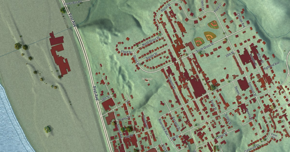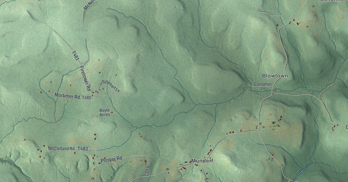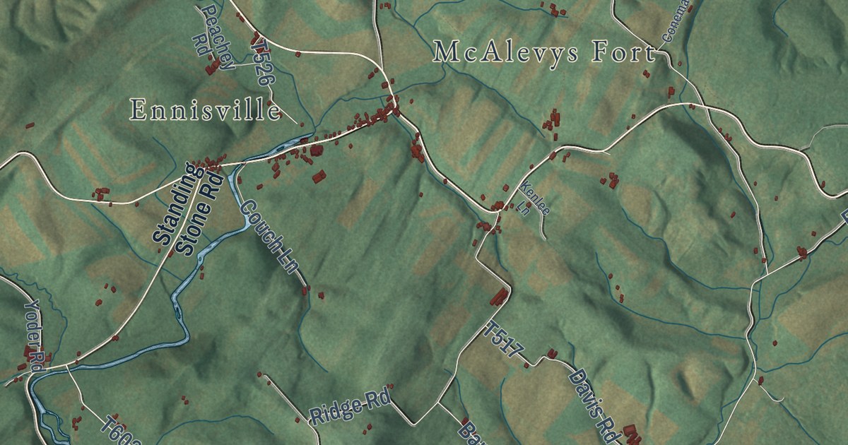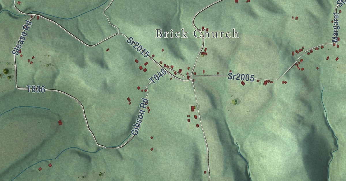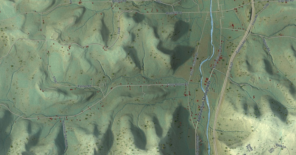
This beautifully detailed map of Covington, Tioga County, Pennsylvania was created in 2026 using aerial imagery combined with modern topographical, census, street and landmark data. It’s a one-of-a-kind view of Covington that combines accurate data with a vintage aesthetic. The map shows every building in its true location, many of the roads carry their names, and the shaded topographic relief shows the shape of the land.
Explore an aerial view of Covington, Tioga County, Pennsylvania
On the map you’ll find Cherry Flats, West Covington, Tioga State Forest, and Appalachian Throughway, along with Cherry Flats Road, Copp Hollow Road, State Road, Erway Road, Packard Road, Haverly Hill Road, and more. If you look closely you can even find your house accurately drawn in its correct location. Zoom in on the preview to look for yours.
Did you know this about Covington, Tioga County, Pennsylvania?
From the History of Tioga County: "To Aaron Bloss belongs the honor of being the pioneer settler of Covington township."
Take a closer look at the Covington, Tioga County map
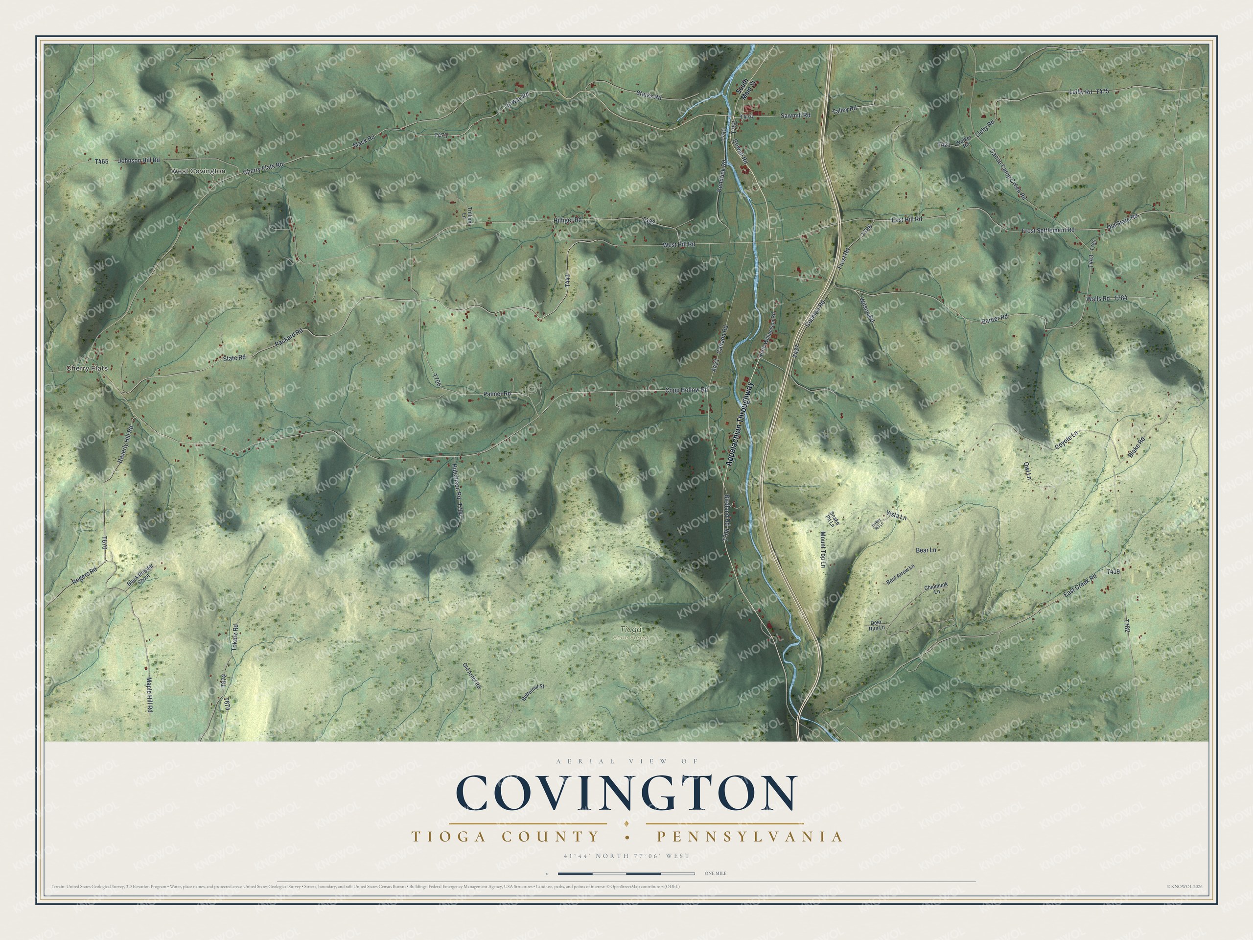
Street and place names on the Covington, Tioga County, Pennsylvania map
These names are printed on the map of Covington, Tioga County, Pennsylvania.
Places: Cherry Flats, West Covington and Tioga State Forest.
Streets and roads: Appalachian Throughway, Cherry Flats Road, Copp Hollow Road, State Road, Erway Road, Packard Road, Haverly Hill Road, West Hill Road, Sawmill Road, East Creek Road, Talley Road, Frost Settlement Road.
More street names, A to Z
Barber Road, Bear Lane, Bent Arrow Lane, Birdland Road, Black Powder Shoot, Blake Road, Butternut Street, Canada Road, Canoe Camp Creek Road, Chipmunk Lane, Cowan Road, Coyote Lane, Cushion Road, Deer Run Lane, East Hill Road, Frost Road, Hilfiger Road, Hutchison Road, Johnson Hill Road, Kendrick Road, Leiby Road, Lieby Road, Mack Road, Maple Hill Road, Mount Top Lane, North Williamson Road, Old Arnot Road, Old State Road, Owl Lane, Palmer Road, Rogers Road, Snake Pit Lane, South Main Street, Starks Road, Tokarz Road, Trillium Lane, Turkey Hill Lane, Vista Lane, Walker Road, Walls Road, Wilson Road.
See the Covington, Tioga County, Pennsylvania map on a wall
The Covington, Tioga County map as an 18 x 24 inch print in a black frame.

This beautifully detailed map of Covington, Tioga County makes an attractive addition to your office, library, or den, and it can even be used to teach children the geography and history of the area. It also makes a great gift for anyone with Covington roots. When you’re done exploring, click here to get your copy of the Covington, Tioga County map.