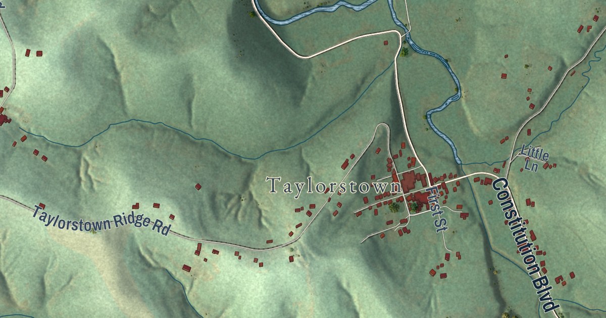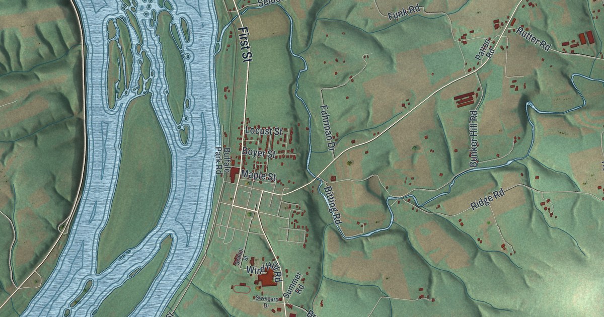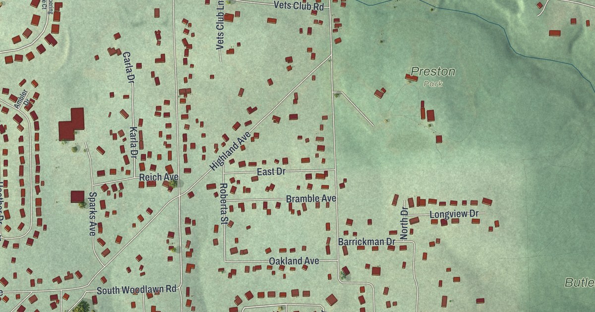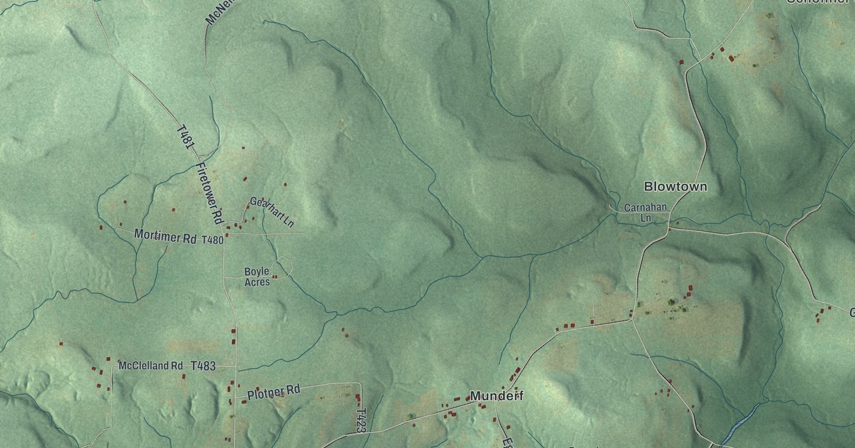
This beautifully detailed map of Polk, Jefferson County, Pennsylvania was created in 2026 using aerial imagery combined with modern topographical, census, street and landmark data. It’s a one-of-a-kind view of Polk that combines accurate data with a vintage aesthetic. The map shows every building in its true location, many of the roads carry their names, and the shaded topographic relief shows the shape of the land.
Explore an aerial view of Polk, Jefferson County, Pennsylvania
On the map you’ll find Green Briar, Dixon Corner, Schoffner Corner, Clear Creek State Forest, Blowtown, and Munderf, along with Jimtown Road, Davis Run Road, Richards Street, Bond Road, and more. If you look closely you can even find your house accurately drawn in its correct location. Zoom in on the preview to look for yours.
Did you know this piece of Polk, Jefferson County, Pennsylvania history?
From the 1888 History of Jefferson county, Pennsylvania, with illustrations and biographical sketches of some of its prominent men and pioneers: "Thomas Reid taught the first school in Polk township about 1848 or 1849; Nathaniel Clark taught next. Philip Hetrick, Jacob McFadden, John Dixon, Henry Schaffner, and John Lucas took part in the organization of the school."
Take a closer look at the Polk, Jefferson County map
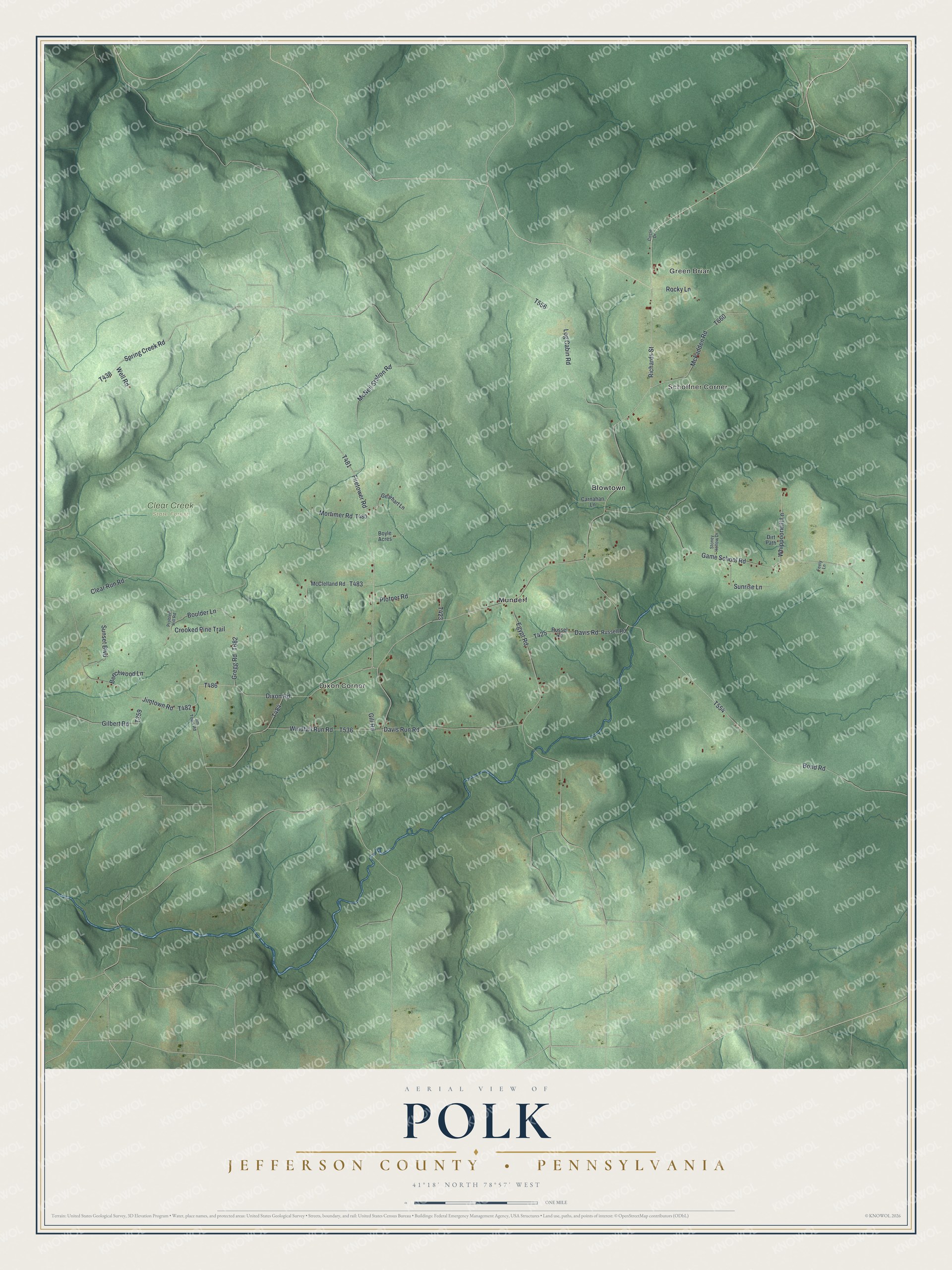
Street and place names on the Polk, Jefferson County, Pennsylvania map
These names are printed on the map of Polk, Jefferson County, Pennsylvania.
Places: Green Briar, Dixon Corner, Schoffner Corner, Clear Creek State Forest, Blowtown and Munderf.
Streets and roads: Jimtown Road, Davis Run Road, Richards Street, Bond Road, Firetower Road, Game School Road, Egypt Road, Dixon Road, Log Cabin Road, McNeil Station Road, Clear Run Road, McFadden Road.
More street names, A to Z
Beechwood Lane, Boulder Lane, Boyle Acres, Carnahan Lane, Circle Drive, Crooked Pine Trail, Davis Road, Dirt Path, Feely Lane, Gearhart Lane, Gilbert Road, Gill Road, Gregg Road, Jim Town Road, McClelland Road, Mortimer Road, Plotner Road, Problem Hill Road, Rocky Lane, Russell Road, Russel Road, Spring Creek Road, Stoney Hollow Drive, Sunrise Lane, Sunset Boulevard, Well Road, Whippoorwill Lane, Windfall Run Road.
See the Polk, Jefferson County, Pennsylvania map on a wall
The Polk, Jefferson County map as an 18 x 24 inch print in a black frame.

This beautifully detailed map of Polk, Jefferson County makes an attractive addition to your office, library, or den, and it can even be used to teach children the geography and history of the area. It also makes a great gift for anyone with Polk roots. When you’re done exploring, click here to get your copy of the Polk, Jefferson County map.