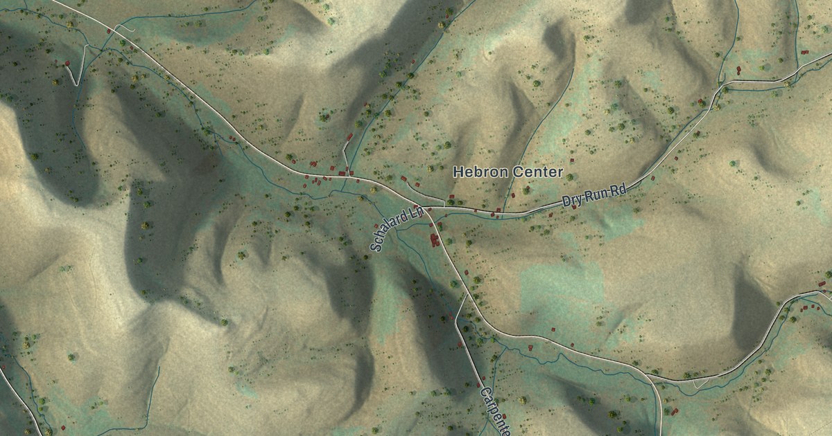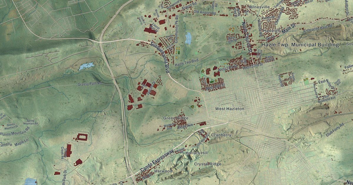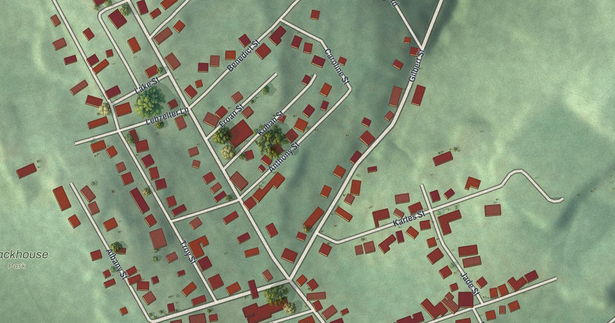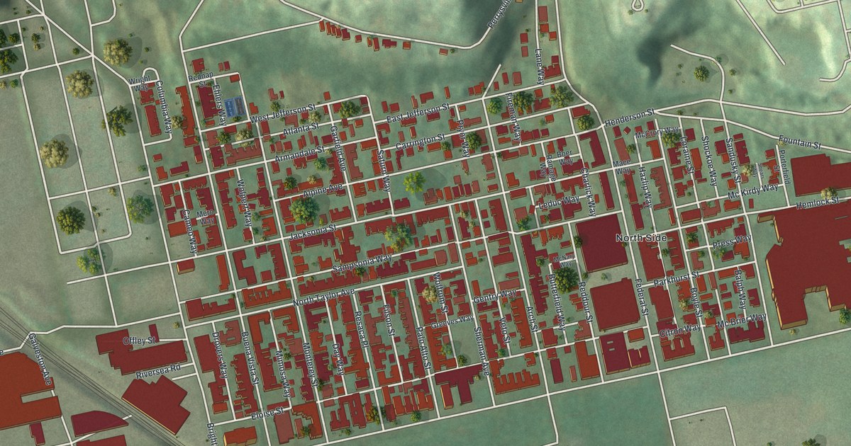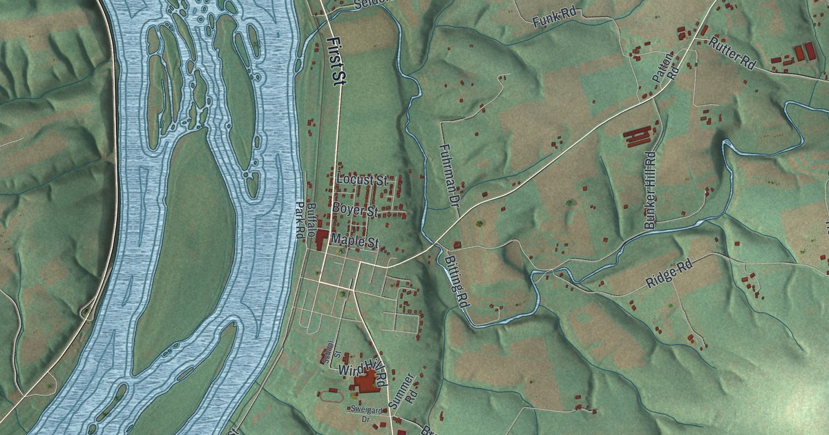
If you grew up along Armstrong Valley Road, spent a summer at Camp Hebron, or have family near Matamoras, this map was made with you in mind. It's a new aerial view of Halifax Township in Dauphin County, Pennsylvania, built from modern data and finished with a vintage look. The wide Susquehanna River curves down the left side, full of long green islands. Two long ridges cross the top and bottom, and small red buildings line the roads in between.
How Halifax Township Was Drawn in 1803
On this map you'll find First Street, North River Road, South River Road, Armstrong Valley Road, Powells Valley Road, Matamoras Road, Camp Hebron Road, Dunkel School Road, Taylor School Road, Million Dollar Road, the Appalachian Trail, Matamoras, Powells Valley, Camp Hebron, Half Falls, and more. Each red shape is a building, so zoom in on the preview and look for yours.
Halifax Township started with a court order. In December 1803, the county court sent men to lay out a new township. They took it from parts of Upper and Middle Paxtang. One line ran along the top of Peter's Mountain. The other ran along the top of Berry's Mountain, which the order called Wiconisco. In March 1804 the court agreed and named it Halifax. The 1883 county history says the township's story centers on Fort Halifax. Colonel William Clapham built that fort in 1756. It was one of a chain of forts that guarded settlers in the French and Indian War. Two state markers along Route 147, about half a mile north of Halifax, tell where it stood. Those two mountain lines are the long ridges across the top and bottom of the map.
Matamoras and the Powell's Valley Post Office
Matamoras is a village about two miles south of Halifax. In 1883 it had three churches: the Church of God, United Brethren and Methodist Episcopal. It also had several industries, a good schoolhouse and stores. But its post office went by another name, "Powell's Valley." Today both names are printed close together near the bottom of the map, with Matamoras Road and Powells Valley Road nearby.
From Half Falls to Camp Hebron
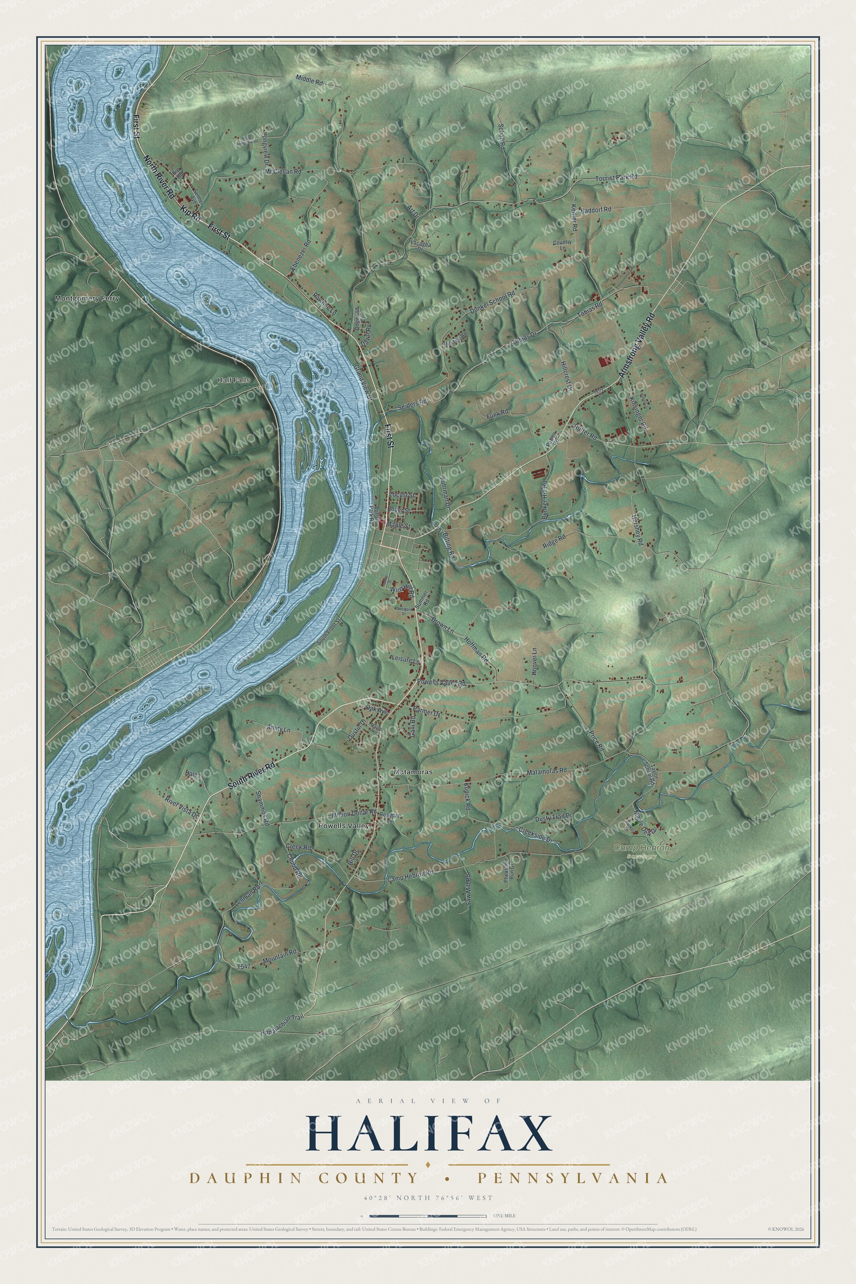
Created by KNOWOL in 2026, this print shows the township in soft greens, with shaded hills, the Susquehanna River in pale blue and buildings in red. The title panel reads "Aerial View of Halifax" over "Dauphin County • Pennsylvania" and 40°28' North 76°56' West.
It suits a living room, a den or a front hall. It's a good gift for someone who went to Camp Hebron, or for anyone who grew up near Matamoras and moved away. Open the preview and find your road. See sizes and frames for the Halifax, Dauphin County map.