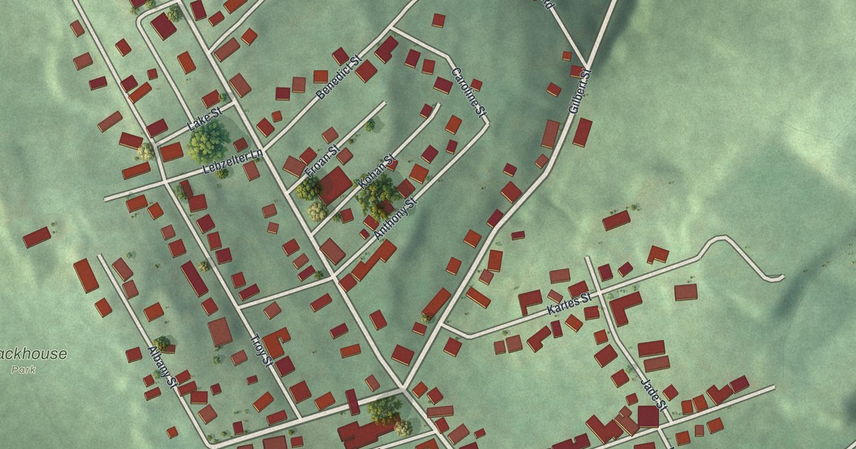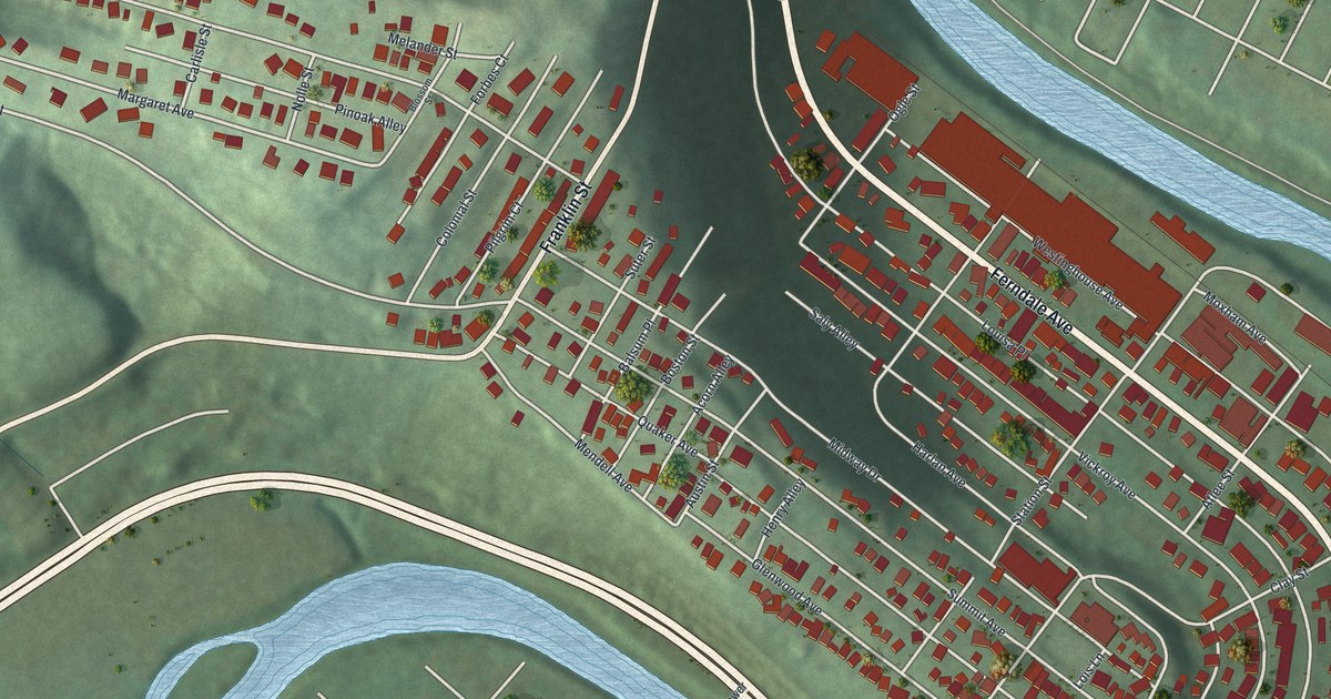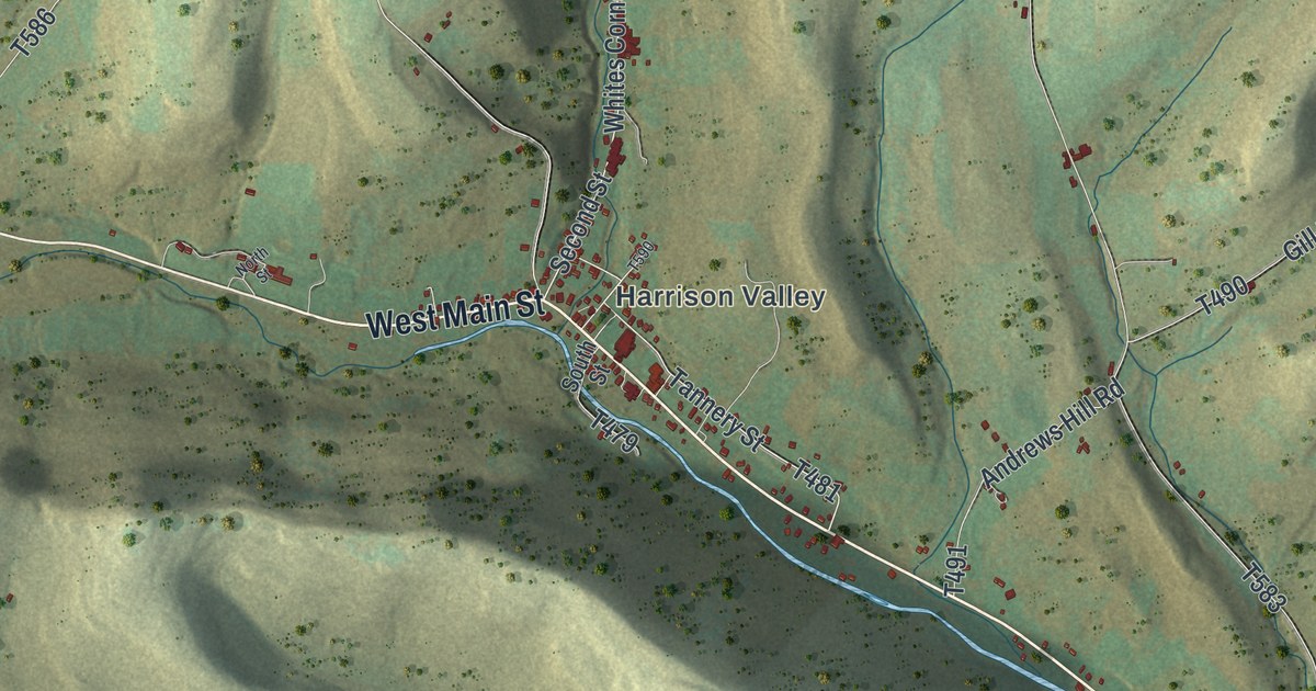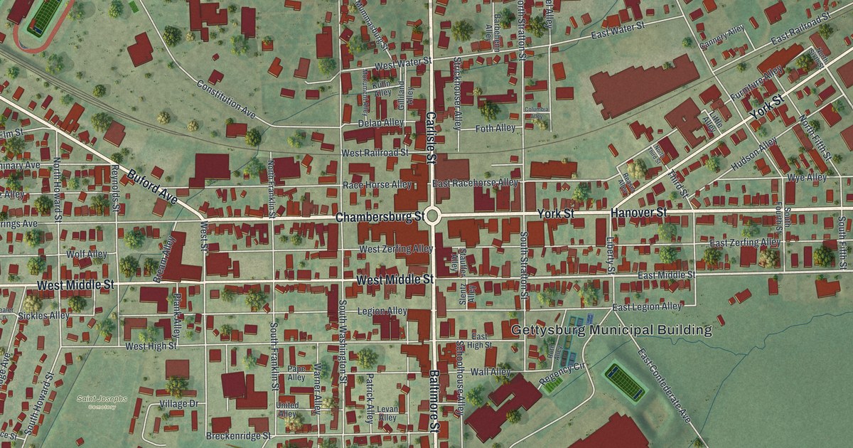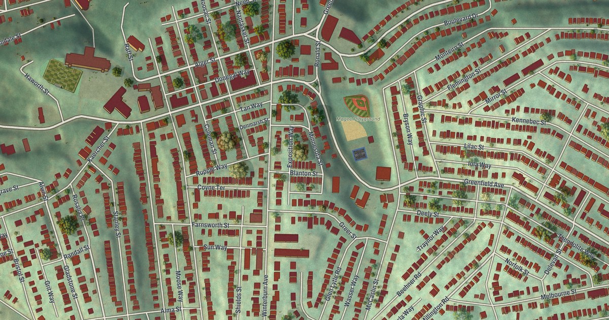
If you grew up on the steep streets around Greenfield Avenue, or played ball at Magee Playground, this map is about your home. It's a modern aerial view of Greenfield, a Pittsburgh neighborhood in Allegheny County, Pennsylvania, made from modern data and given a vintage look. Rows of red houses climb the green hills. The ball fields of Magee Playground sit near the middle. A wide highway curves across the top, and a blue river shows in the lower left corner.
Greenfield Avenue, Magee Playground and the streets around them
On this map you'll find Greenfield Avenue, Beechwood Boulevard, Murray Avenue, Hazelwood Avenue, Greenfield Bridge, Magee Playground, Alger Street, Winterburn Avenue, Lydia Street, Kennebec Street, Lilac Street, Loretta Street, Four Mile Run Road, Browns Hill Road, and more. Each red shape is a building, so zoom in on the preview and look for yours.
Greenfield Elementary School on Alger Street
Greenfield Elementary School stands just north of Greenfield Avenue, at the east end of Alger Street. In September 1986 it was added to the National Register of Historic Places. That's the nation's list of buildings and sites worth saving, kept by the National Park Service. On the map, look for the end of Alger Street close to Greenfield Avenue.
The Simon Girty marker on Beechwood Boulevard
A state historical marker at 3424 Beechwood Boulevard tells an older and harder story. It stands at Turner cemetery, next to a Methodist church. Simon Girty was born near Harrisburg in 1741. In 1756 he was captured and adopted by Seneca Indians. After his release, the marker says, he settled here with his family. He worked as an interpreter for the British and the Americans at Fort Pitt. In 1778 he went over to the British. He went with Indians on raids against frontier settlements. The marker says he remains controversial, and he's buried in Canada. Beechwood Boulevard, the road where his marker stands, is printed on this map.
Greenfield Avenue on your wall
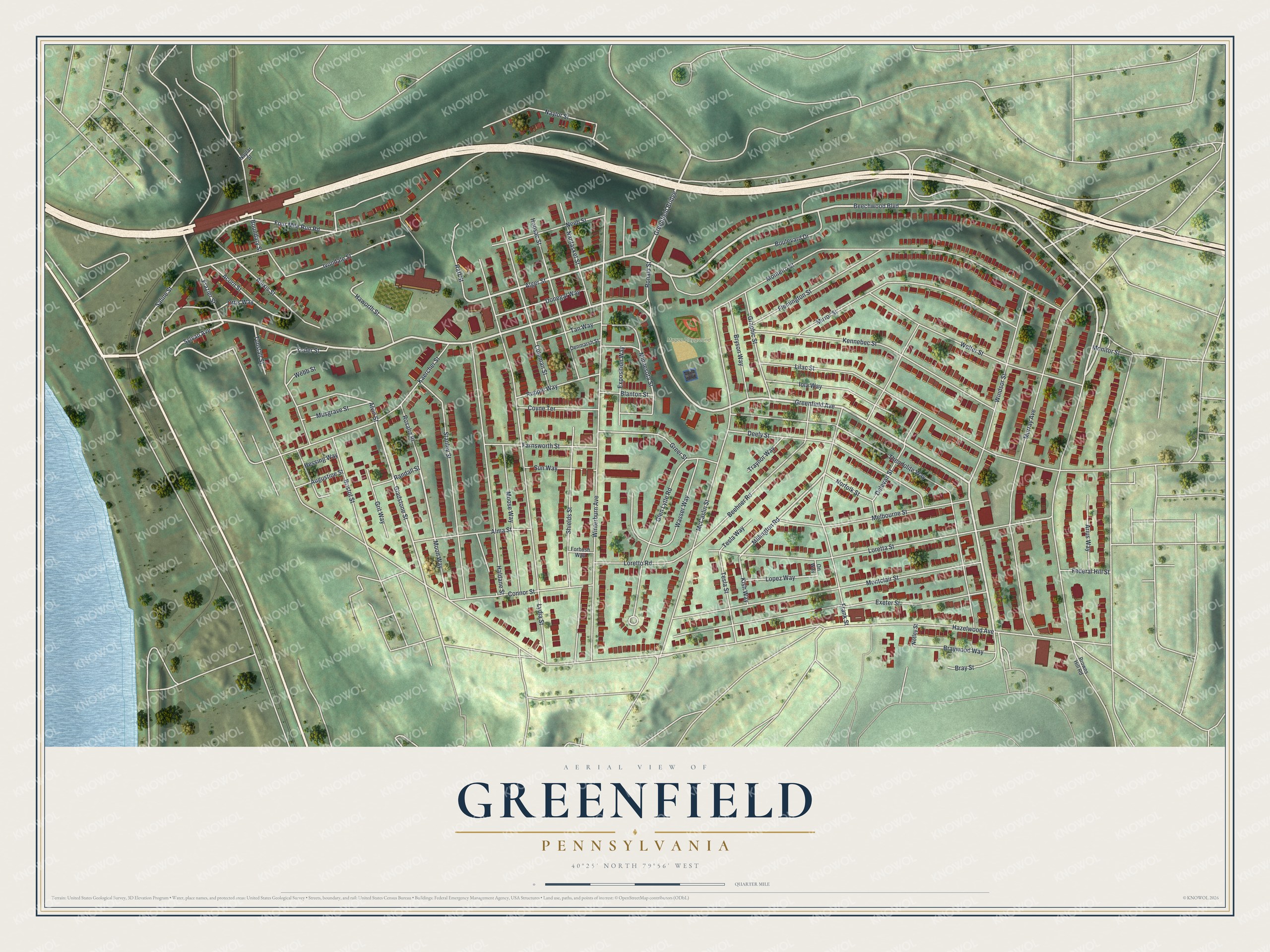
Created by KNOWOL in 2026, this print shows Greenfield from above, with shaded green hills, red buildings, pale roads and a blue river in the lower left. The title panel reads Aerial View of Greenfield, Pennsylvania, with the coordinates 40°25' North 79°56' West.
It suits a living room, a kitchen or a home office. It's a good gift for someone who went to Greenfield Elementary School, or for a friend who moved away from Greenfield Avenue. Open the preview and find your street. See sizes and frames for the Greenfield map.