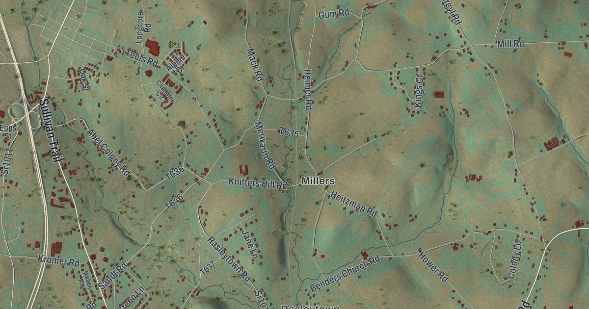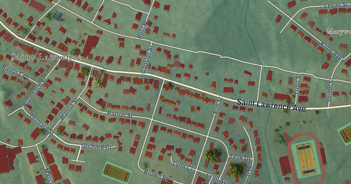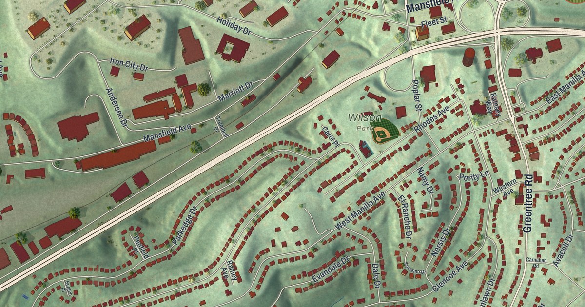
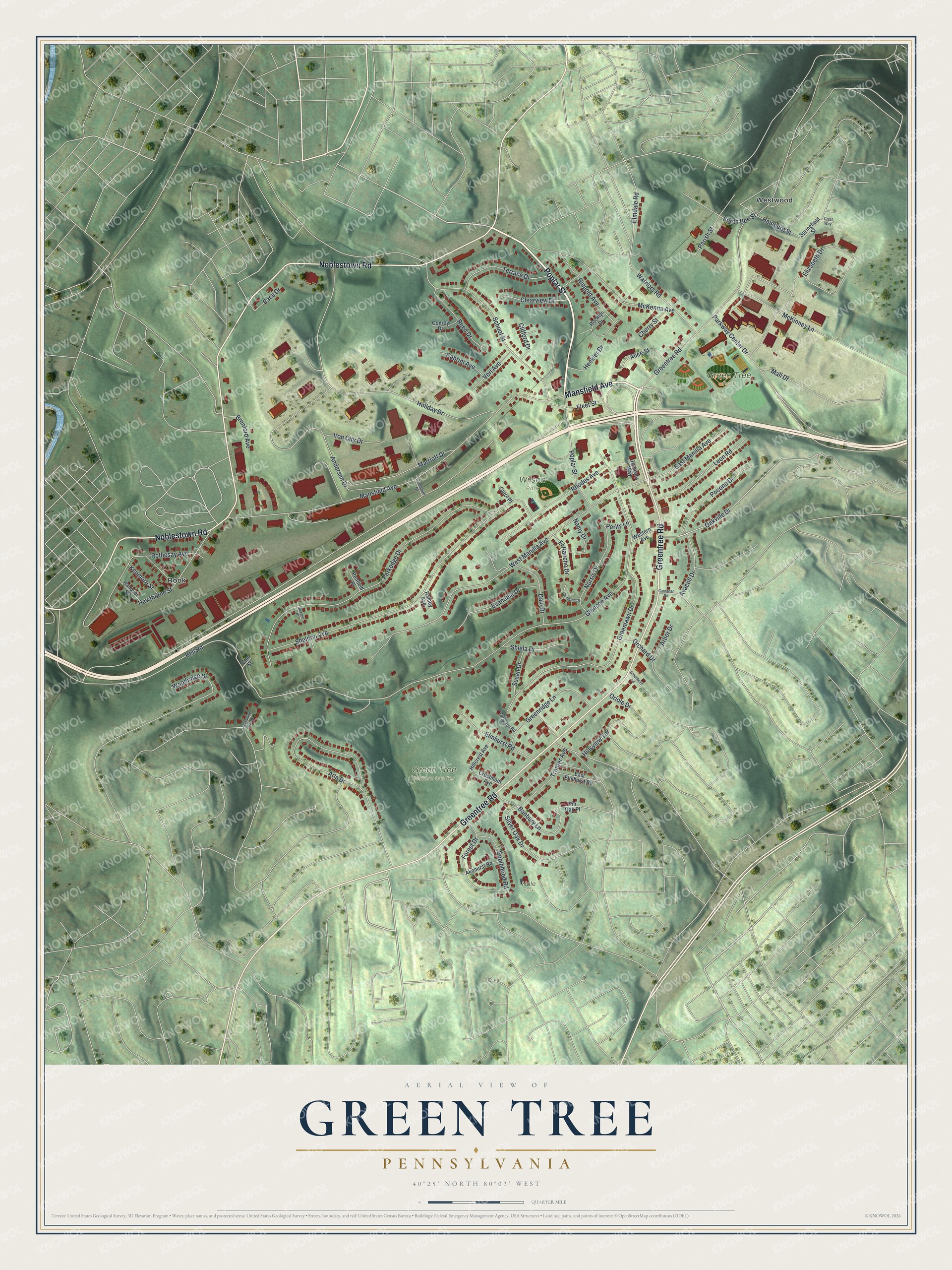
This beautifully detailed map of Green Tree, Pennsylvania was created in 2026 using aerial imagery combined with modern topographical, census, street and landmark data. It’s a one-of-a-kind view of Green Tree that combines accurate data with a vintage aesthetic. The map shows every building in its true location, many of the roads carry their names, and the shaded topographic relief shows the shape of the land.
Explore an aerial view of Green Tree, Pennsylvania
On the map you’ll find Green Tree Park, Green Tree Nature Center, Wilson Park, Hale Park, Rook, and Westwood, along with Poplar Street, Mansfield Avenue, Greentree Road, Noblestown Road, Pocono Drive, Oakville Drive, and more. If you look closely you can even find your house accurately drawn in its correct location. Zoom in on the preview to look for yours.
Did you know this piece of Green Tree, Pennsylvania history?
From the Historical Marker Database: "The annual Octoberfest community event has been held in Green Tree Park since its inception in 1997, as well as the Farmers Market during the summer months."
Take a closer look at the Green Tree map
Street and place names on the Green Tree, Pennsylvania map
These names are printed on the map of Green Tree, Pennsylvania.
Places: Green Tree Park, Green Tree Nature Center, Wilson Park, Hale Park, Rook and Westwood.
Streets and roads: Poplar Street, Mansfield Avenue, Greentree Road, Noblestown Road, Pocono Drive, Oakville Drive, Bell Road, South Bee Street, Glencoe Avenue, West Manilla Avenue, Sheldon Avenue, Parkedge Drive.
More street names, A to Z
Akehurst Road, Alice Street, Andersen Drive, Arbor Drive, Arla Drive, Avacoll Drive, Banbury Lane, Bergen Place, Brenford Avenue, Cabrini Avenue, Carnahan Road, Carol Place, Cherry Street, Clearview Drive, Clifford Drive, Conroy Drive, Crestmont Avenue, Crest Way, Dale Drive, East Elmhurst Road, East Manilla Avenue, Elizabeth Drive, Elmdale Road, Elmhurst Road, Elm Street, El Rancho Drive, Evandale Drive, Fleet Street, Forest Drive, Greenboro Lane, Greenlawn Drive, Greenridge Lane, Hamburg Street, Hanover Street, Hawthorne Street, Heckler Drive, Hillcrest Avenue, Hillsview Terrace, Holiday Drive, Iron City Drive, Kenmore Street, Leon Road, Mall Drive, Marriott Drive, McKenna Avenue, McKinney Lane, Namy Drive, Norsis Drive, Orchard Drive, Oriole Drive, Pace Drive, Parish Street, Parkway Center Drive, Patterson Road, Penfield Place, Perity Lane, Pin Oak Place, Ramey Avenue, Ramsey Way, Reed Drive, Rhodes Avenue, Ringold Avenue, Robinhood Road, Rocklyn Drive, Rothesay Avenue, School Street, Shiela Drive, Silver Oak Drive, Spreading Oak Drive, Springfield Street, Susan Drive, Terrace Drive, Tomaino Drive, Tranter Avenue, Trumbull Drive, Veri Avenue, Warriors Road, Western Avenue, Woodridge Drive.
See the Green Tree, Pennsylvania map on a wall
The Green Tree map as an 18 x 24 inch print in a black frame.

This beautifully detailed map of Green Tree makes an attractive addition to your office, library, or den, and it can even be used to teach children the geography and history of the area. It also makes a great gift for anyone who grew up in Green Tree or moved away. When you’re done exploring, click here to get your copy of the Green Tree map.