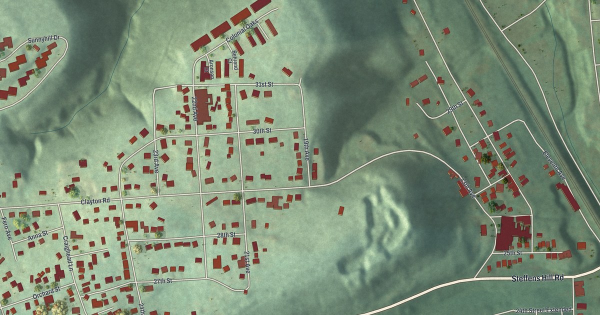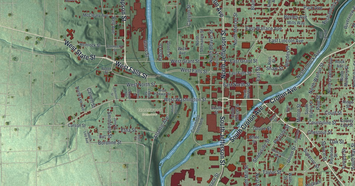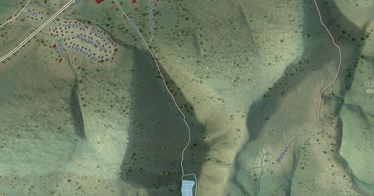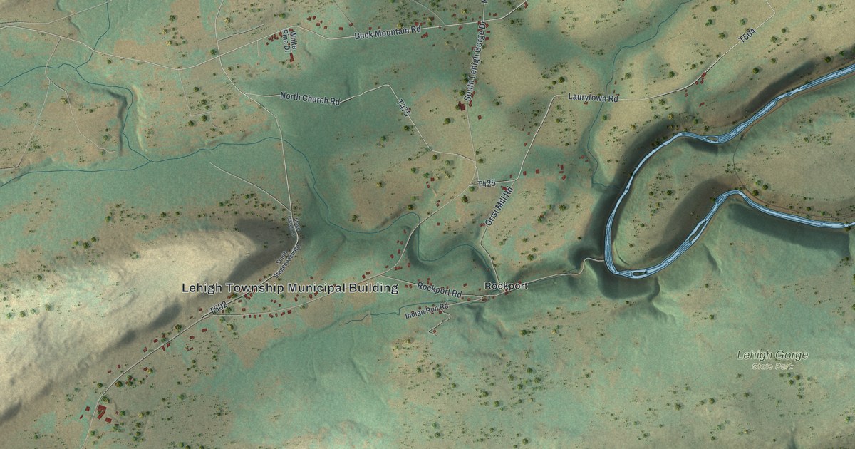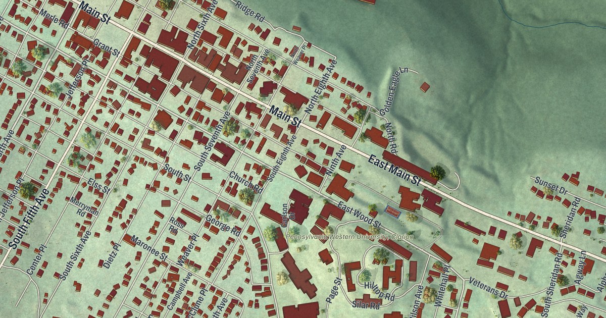
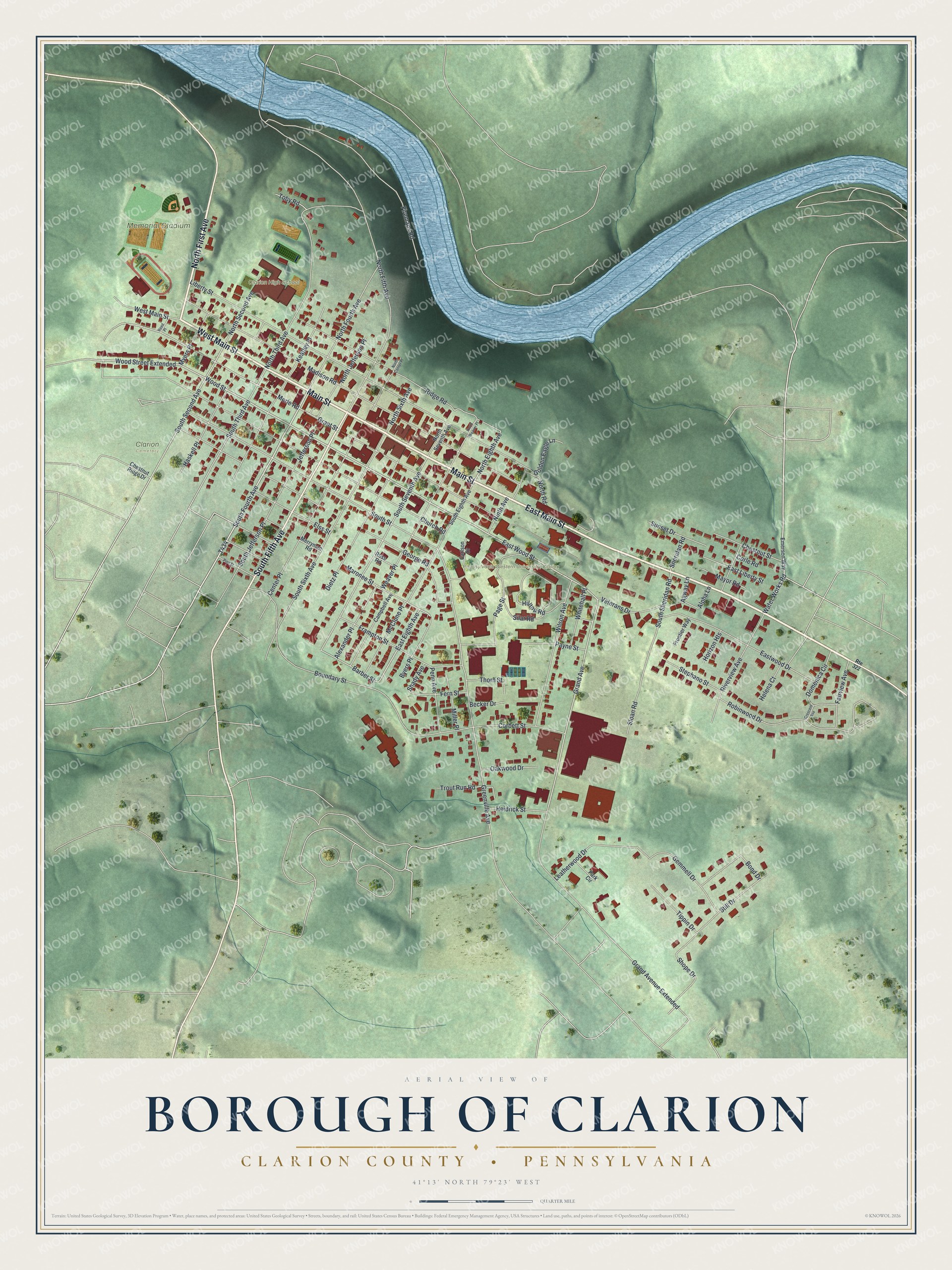
This beautifully detailed map of Clarion Borough, Pennsylvania was created in 2026 using aerial imagery combined with modern topographical, census, street and landmark data. It's a modern aerial view of Clarion Borough in Clarion County, Pennsylvania, that combines modern data with a vintage aesthetic. The roads feature printed names, and if you look closely you can find your exact house accurately shown in its correct location.
Explore an aerial view of Clarion Borough, Pennsylvania
On this map you'll find Clarion High School, Memorial Stadium, Pennsylvania Western University, Clarion, Clarion Cemetery, Main Street, West Main Street, East Main Street, North First Avenue, South Fifth Avenue, South Fourth Avenue, Water Works Road, Wood Street, and more. Each red shape is a building, so zoom in on the preview and look for yours.
Here is a piece of Clarion Borough history, in the words of the record. The PA Roots puts it this way: "The first railroad train entered Clarion December 4, 1877. The formal opening of the Emlenton, Shippenville and Clarion Railroad, on December 24, was a gala day for the good people of Clarion."
Clarion Borough is a borough in Clarion County. The Census Bureau counted 3,931 people here in 2020.
Take a closer look at the Clarion Borough map
Names on this map
These names are printed on this map.
Places: Clarion High School, Memorial Stadium and Clarion Cemetery.
Streets and roads: Main Street, West Main Street, East Main Street, North First Avenue, South Fifth Avenue, South Fourth Avenue, Water Works Road, Wood Street, East Wood Street, Grand Avenue, Wood Street Extended, East Eighth Avenue.
More street names, A to Z
Agway Lane, Alexander Place, Alpha Lane, Barber Street, Becker Drive, Bond Drive, Boundary Street, Byers Place, Campbell Avenue, Carlson Drive, Center Place, Chestnut Ridge Drive, Chestnut Street, Church Road, Corbett Street, Corle Road, Crescent Avenue, Dietz Place, Domenica Circle, East Liberty Street, Eastwood Drive, Elss Street, Emerson Way, Fairview Avenue, Fern Street, Firemans Road, Frampton Street, Frontier Way, Gemmell Drive, George Road, Golden Eagle Lane, Grand Avenue Extended, Grant Street, Greenville Avenue, Haskell Place, Heidrick Street, Helena Court, Hilltop Road, Horizon Heights, Jefferson Place, Keatley Place, Leatherwood Drive, Liberty Street, Madison Road, Maronee Street, Mayor Road, McClune Place, Merle Road, Merryman Road, Miller Place, Myers Place, Ninth Avenue, North Center Place, North Eighth Avenue, North Fifth Avenue, North Fourth Avenue, North Jefferson Place, North Road, North Second Avenue, North Seventh Avenue, North Sixth Avenue, North Third Avenue, North Weaver Place, Oakwood Drive, Page Street, Park Circle, Payne Street, Penn Avenue, Pine Street, Reed Place, Ridge Road, Riverview Avenue, Robinwood Drive, Ross Road, Route 322, Shady Avenue, Sheridan Road, Shope Drive, Silar Road, Sloan Road, South Eighth Avenue, South Jefferson Place, South Second Avenue, South Seventh Avenue, South Sheridan Road, South Sixth Avenue, South Street, South Third Avenue, Stephano Street, Still Drive, Sunset Drive, Thorn Street, Tippin Drive, Toby Road, Trout Run Road, Veterans Drive, Weaver Place, Whitehall Place, Wilson Avenue.
See it on a wall
The Clarion, Clarion County map as a framed print. Swipe for more.


Created by KNOWOL in 2026. The buildings are small red shapes, the roads carry their printed names, and shaded relief shows the shape of the land. The title panel reads "AERIAL VIEW OF BOROUGH OF CLARION, CLARION COUNTY • PENNSYLVANIA" with 41°13' NORTH 79°23' WEST.
It suits a den, a classroom or a front hall, and it makes a gift for anyone with Clarion Borough roots. Open the preview and find the block you know. See sizes and frames for the Borough of Clarion, Clarion County map.