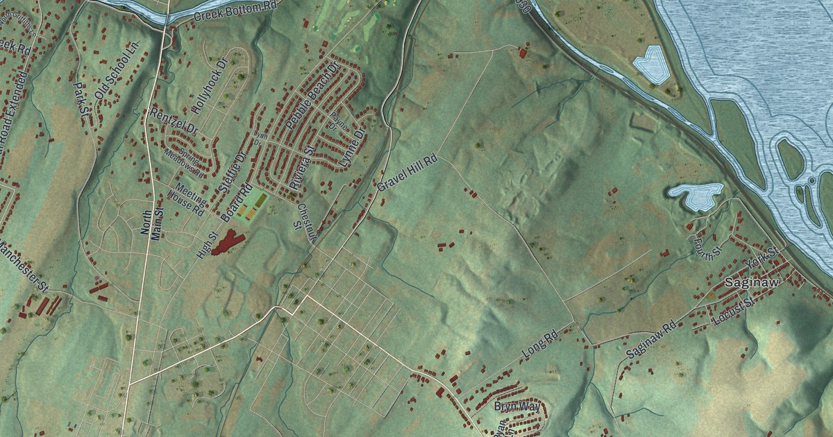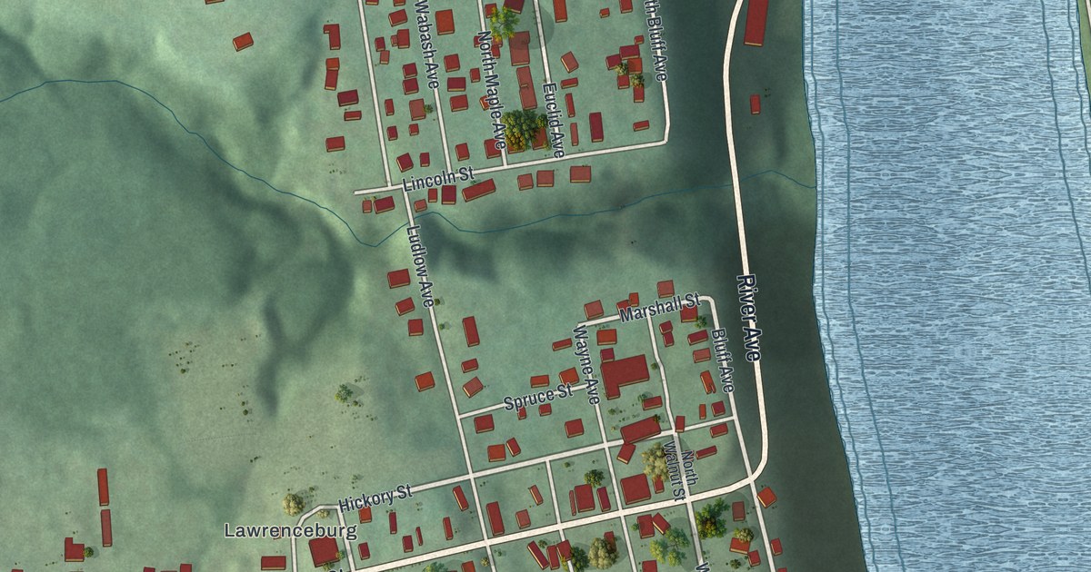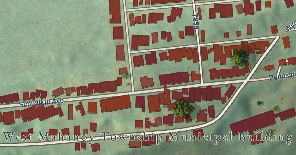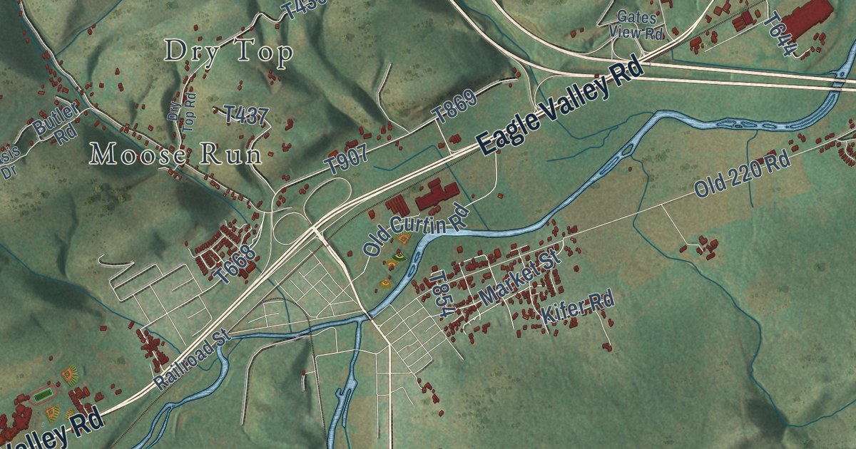
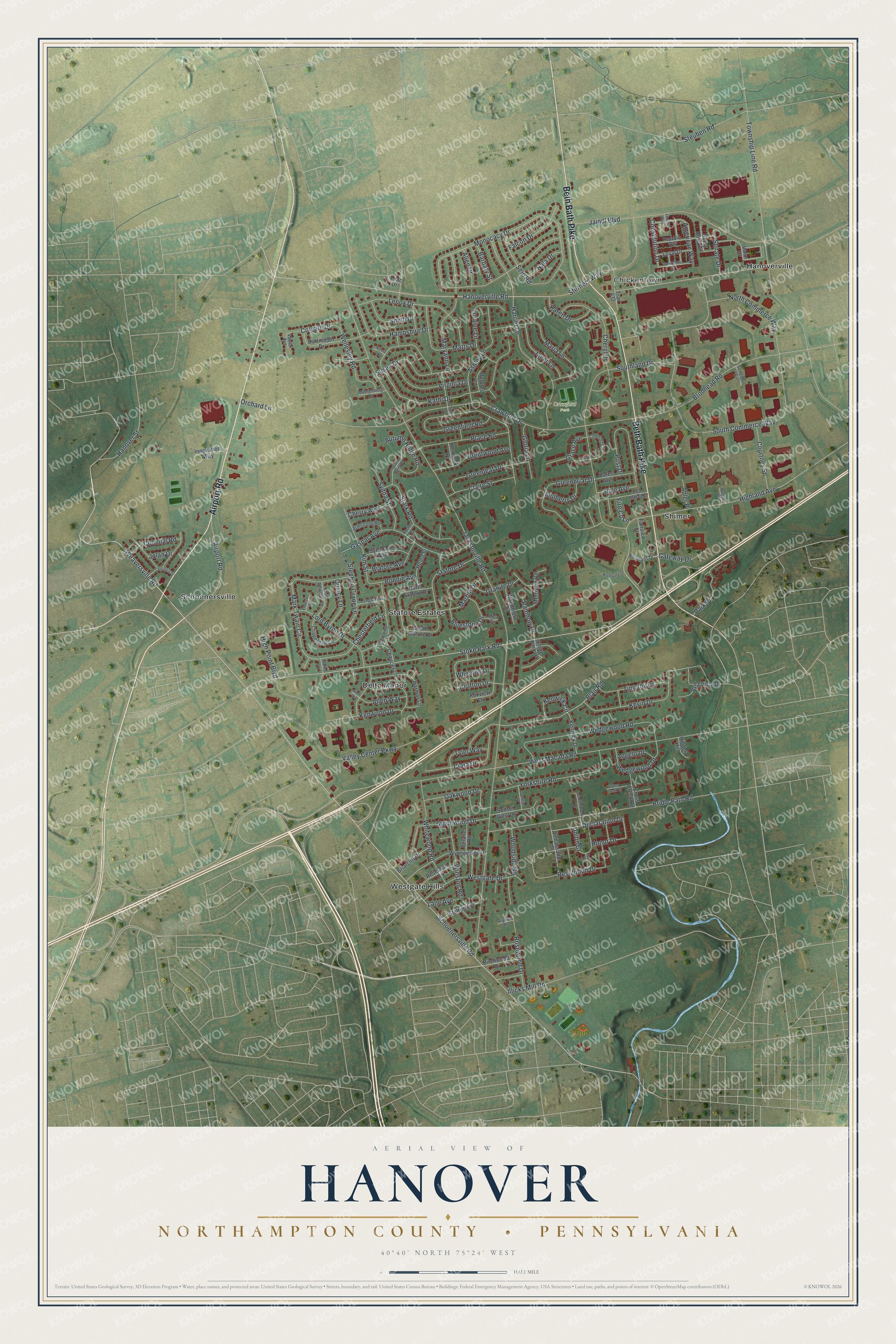
This beautifully detailed map of Hanover, Northampton County, Pennsylvania was created in 2026 using aerial imagery combined with modern topographical, census, street and landmark data. It’s a one-of-a-kind view of Hanover that combines accurate data with a vintage aesthetic. The map shows every building in its true location, many of the roads carry their names, and the shaded topographic relief shows the shape of the land.
Explore an aerial view of Hanover, Northampton County, Pennsylvania
On the map you’ll find Chickentown, Crawford Park, Delta Manor, Hanoverville, Schoenersville, Shimer, Stafore Estates, and Westgate Hills, along with Beth Bath Pike, Airport Road, Weaversville Road, Hanoverville Road, and more. If you look closely you can even find your house accurately drawn in its correct location. Zoom in on the preview to look for yours.
Take a closer look at the Hanover, Northampton County map
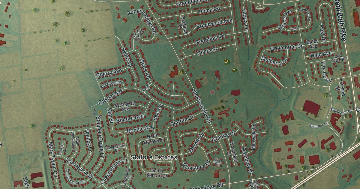
Street and place names on the Hanover, Northampton County, Pennsylvania map
These names are printed on the map of Hanover, Northampton County, Pennsylvania.
Places: Chickentown, Crawford Park, Delta Manor, Hanoverville, Schoenersville, Shimer, Stafore Estates and Westgate Hills.
Streets and roads: Beth Bath Pike, Airport Road, Weaversville Road, Hanoverville Road, Stoke Park Road, Declaration Drive, Schoenersville Road, Place Road, Jacksonville Road, West Macada Road, Monocacy Drive, North Commerce Way.
More street names, A to Z
Adler Place, Allen Circle, Allen Drive, Allen Way, Alyssa Place, Ambassador Drive, American Way, Angelo Drive, Armstrong Road, Ashley Lane, Autumn Ridge Road, Barbary Street, Bates Avenue, Belaire Road, Bella Vista Drive, Betsy Ross Circle, Biafore Avenue, Birchwood Drive, Blair Road, Bluestone Drive, Bonnie Avenue, Brentwood Avenue, Briarclift Drive, Bridle Path Road, Brodhead Road, Browning Lane, Burgess Place, Chaucer Lane, Cherry Avenue, Cheryl Drive, Chesterfield Lane, Chippendale Circle, Ciara Drive, Claire Street, Colgate Drive, Colonial Road, Comfort Circle, Constitution Drive, Courtney Street, Crawford Drive, Crofton Drive, Cross Creek Court, Cross Creek Road, Dartmouth Drive, Dolores Lane, East Place Road, Emerson Circle, Fairview Street, Falcon Drive, Fire Co Lane, Foxview Drive, Gaspar Avenue, Gateway Drive, Gloria Lane, Grace Avenue, Granite Drive, Greenbriar Drive, Greenfield Road, Greenleaf Drive, Hale Avenue, Hampshire Drive, Hanover Street, Harmor Lane, Harriet Lane, Helen Street, Hemlock Place, Hidden Hill, Highland Avenue, High Point Boulevard, Honor Drive, Illicks Mill Road, Innovation Way, Jaclyn Lane, Jaindl Boulevard, Janet Lane, Jolan Drive, Karen Drive, Kathi Drive, Kenwick Circle, Kenwick Drive, Kenwood Drive, Kevin Drive, Kim Street, Kocher Place, Lane Avenue, Lenox Drive, Liberty Boulevard, Lilac Drive, Longfellow Place, Loraine Lane, Lord Byron Drive, Loyal Drive, Marble Drive, Maria Lane, Mark Twain Circle, Maryann Lane, Matts Drive, Merrivale Road, Mica Circle, Muhlenberg Court, Mulberry Drive, Nala Drive, Nicole Lane, Northgate Drive, North Stafore Drive, Oakwood Drive, Orchard Lane, Park Place, Post Drive, Presidents Drive, Quail Creek Road, Quincy Lane, Rainbow Drive, Republic Way, Resolution Drive, Roselawn Drive, Rosewood Drive, Royal Lane, Saddlebrook Lane, Scheldon Circle, Seip Road, Senate Drive, Shelley Lane, Smith Drive, South Commerce Way, Southland Drive, South Stafore Drive, Stafore Drive, Stark Road, Statten Avenue, Stephen Crane Lane, Sterners Way, Steuben Road, Stone Park Drive, Stonewood Drive, Sunset Place, Sunset View Drive, Susan Drive, Sycamore Avenue, Sydna Street, Timothy Drive, Toni Lane, Township Line Road, Trail 432, Tyler Way, Union Court, Valley Center Parkway, Valor Drive, Vassar Avenue, Victoria Drive, Virginia Drive, Walt Whitman Lane, Wedgewood Drive, Wedgewood Road, Wegmans Drive, Wellesley Road, Westgate Drive, Wheaton Drive, Whitewood Road, Winston Road, Woodmere Drive, Woodside Road, Wynnewood Drive, Yorkshire Road.
See the Hanover, Northampton County, Pennsylvania map on a wall
The Hanover, Northampton County map as an 18 x 24 inch print in a black frame.

This beautifully detailed map of Hanover, Northampton County makes an attractive addition to your office, library, or den, and it can even be used to teach children the geography and history of the area. It also makes a great gift for someone who left Hanover and still calls it home. When you’re done exploring, click here to get your copy of the Hanover, Northampton County map.