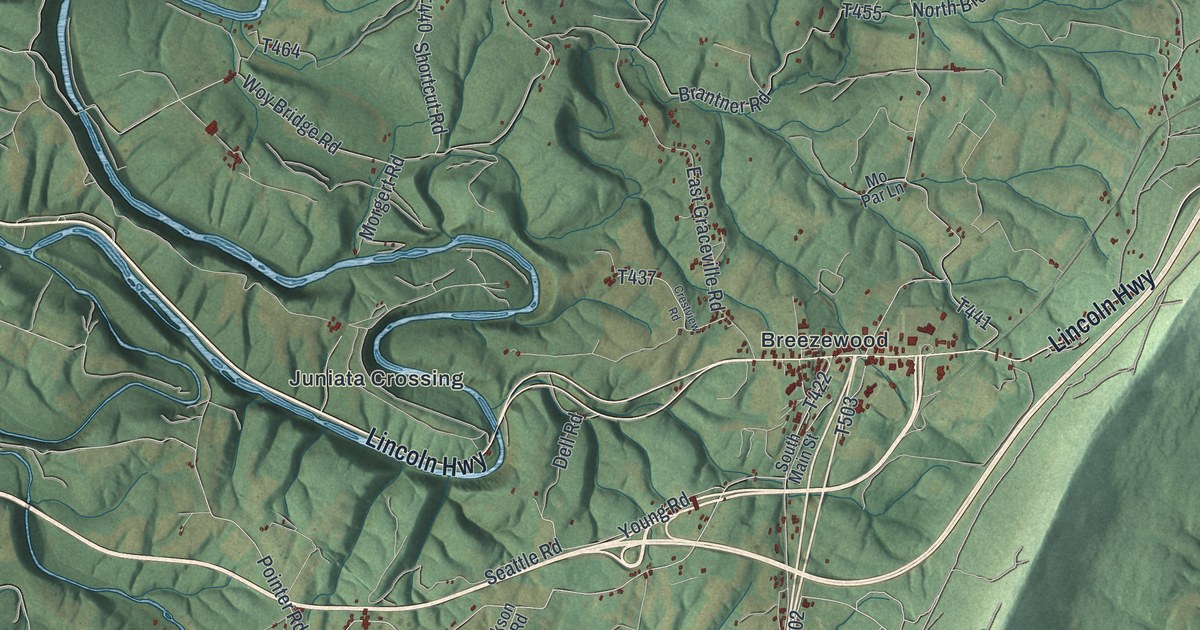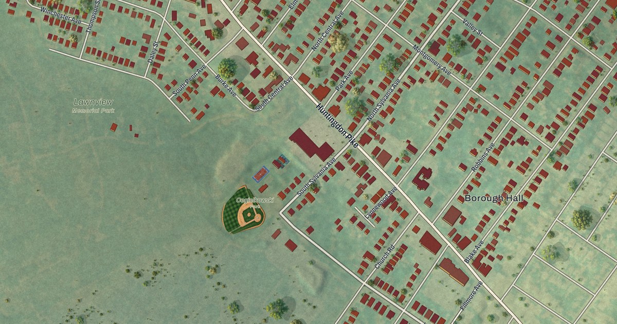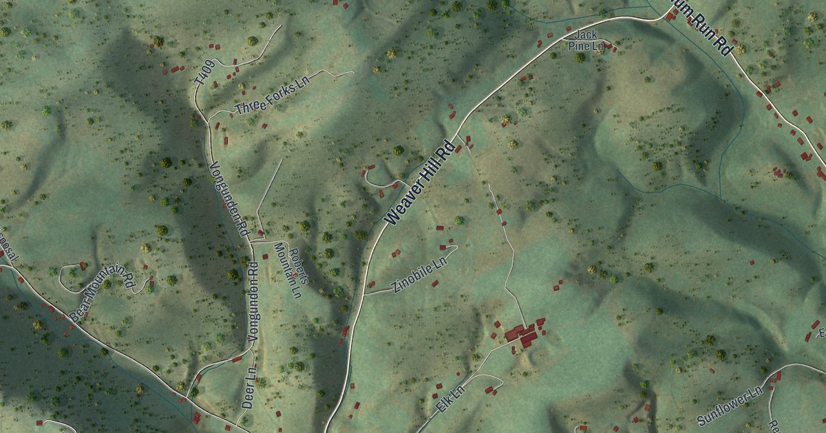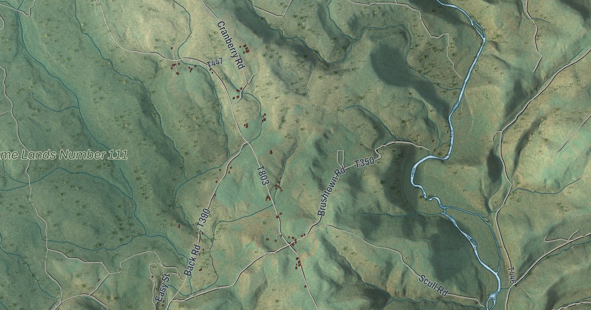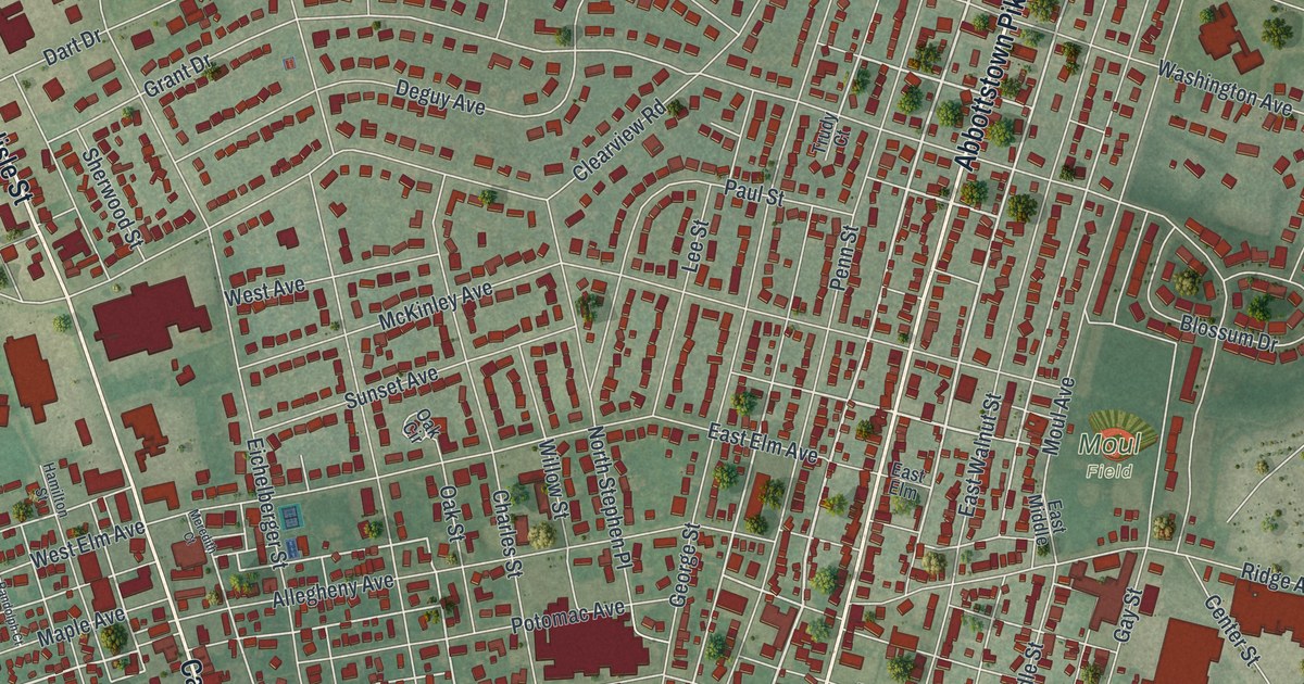
If you grew up near Center Square or spent summer days at Myers Park, this map was made with you in mind. It's a modern aerial view of Hanover in York County, Pennsylvania, built from modern data and given a vintage look. Carlisle Street, Broadway and Baltimore Street all meet at the square. Close to 8,000 red buildings fill the blocks around them, from New Baltimore at the top to Good Field near the bottom.
Carlisle Street, Broadway and Center Square
On this map you'll find Carlisle Street, Broadway, Baltimore Street, Frederick Street, York Street, Center Square, High Street, Moul Field, Myers Park, Good Field, Abbottstown Pike, Eichelberger Street, Moulstown Road, New Baltimore, and more. Each red shape is a building, so zoom in on the preview and look for yours.
The Battle of Hanover, June 30, 1863
Hanover's best-known day came in the Civil War. On the morning of June 30, 1863, Confederate cavalry under General Stuart attacked Union cavalry southeast of town. That's what the state marker for the Battle of Hanover says. For a while, Stuart's men held the town. The attack was pushed back, and Stuart pulled out that evening. Another marker says the Union leader, General Kilpatrick, set up his headquarters in a building on the square. Both markers stand where Carlisle Street and Baltimore Street cross Broadway at Center Square. A third marker, on Frederick Street, tells what came next. Stuart tried to join General Early, but Early was gone. So Stuart marched to Carlisle, and he didn't reach Gettysburg until July 2.
The square has older stories too. The state's Market House marker says a market stood on the square from 1815 to 1872. The jail sat under one end of it. The town kept its fire equipment there. Fairs and other public events were held under its roof. Down Baltimore Street, another marker recalls the McAllister Tavern. Richard McAllister built a two-story log store and tavern along the old Monocacy Road. Benjamin Franklin stayed there as a guest in 1755. The log building was torn down in 1950.
Hanover from Center Square to Moul Field
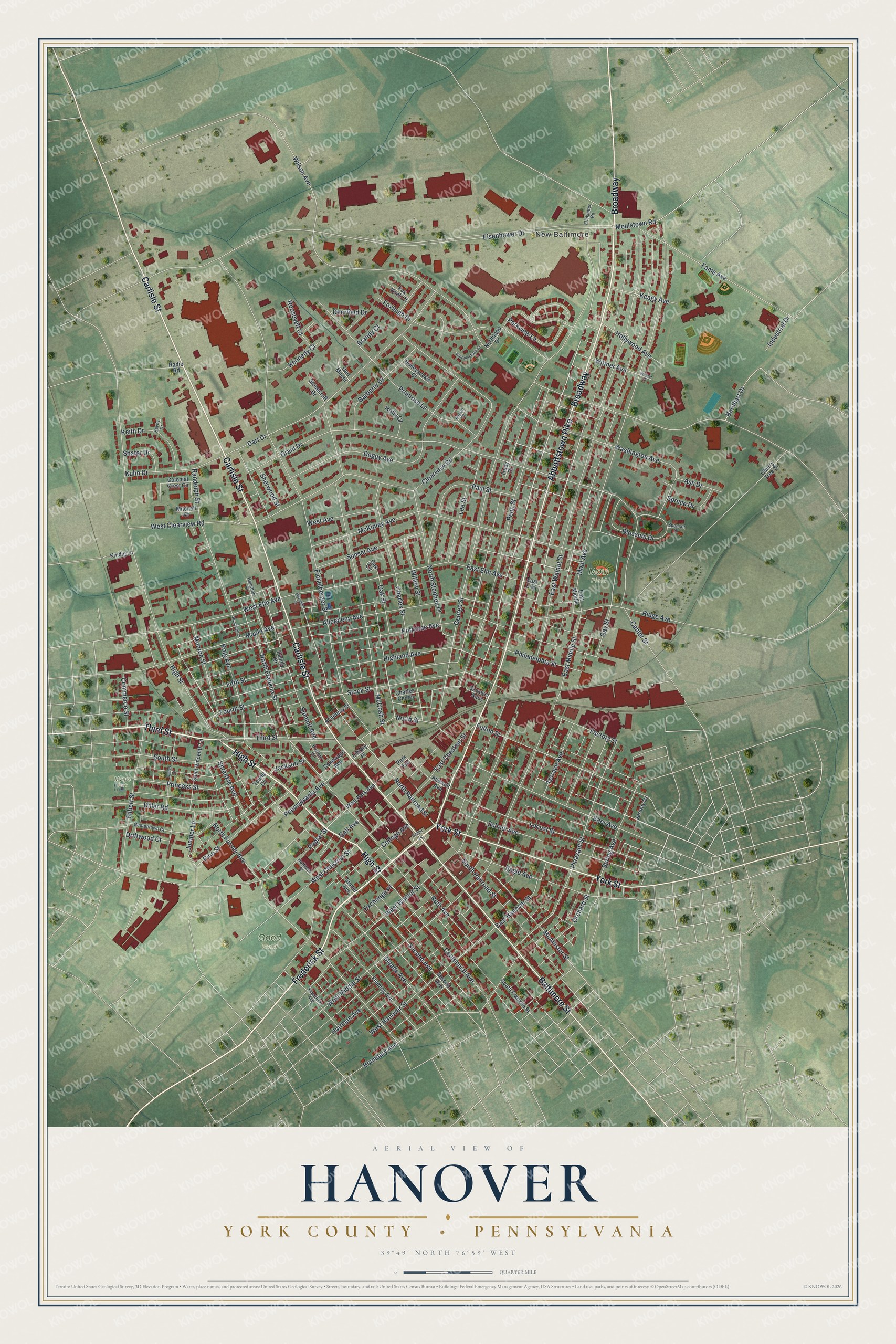
Created by KNOWOL in 2026, this print shows Hanover from above, with deep red buildings set over soft green hills and fields. The title panel reads "Aerial View of Hanover" with "York County • Pennsylvania" beneath it and the coordinates 39°49' North 76°59' West.
It looks at home in a living room, a front hall or an office. It's a good gift for someone who moved away, or for anyone who still thinks of Center Square as the middle of town. Open the preview and find your street. See sizes and frames for the Hanover, York County map.