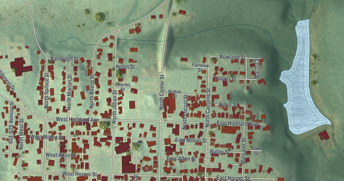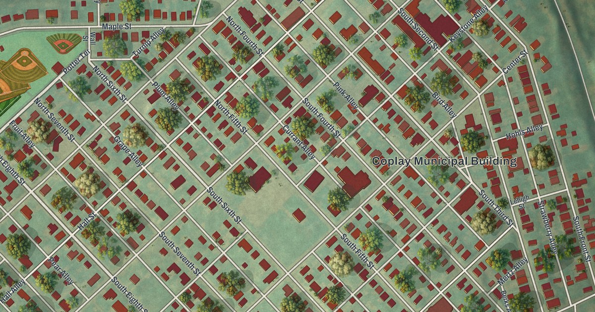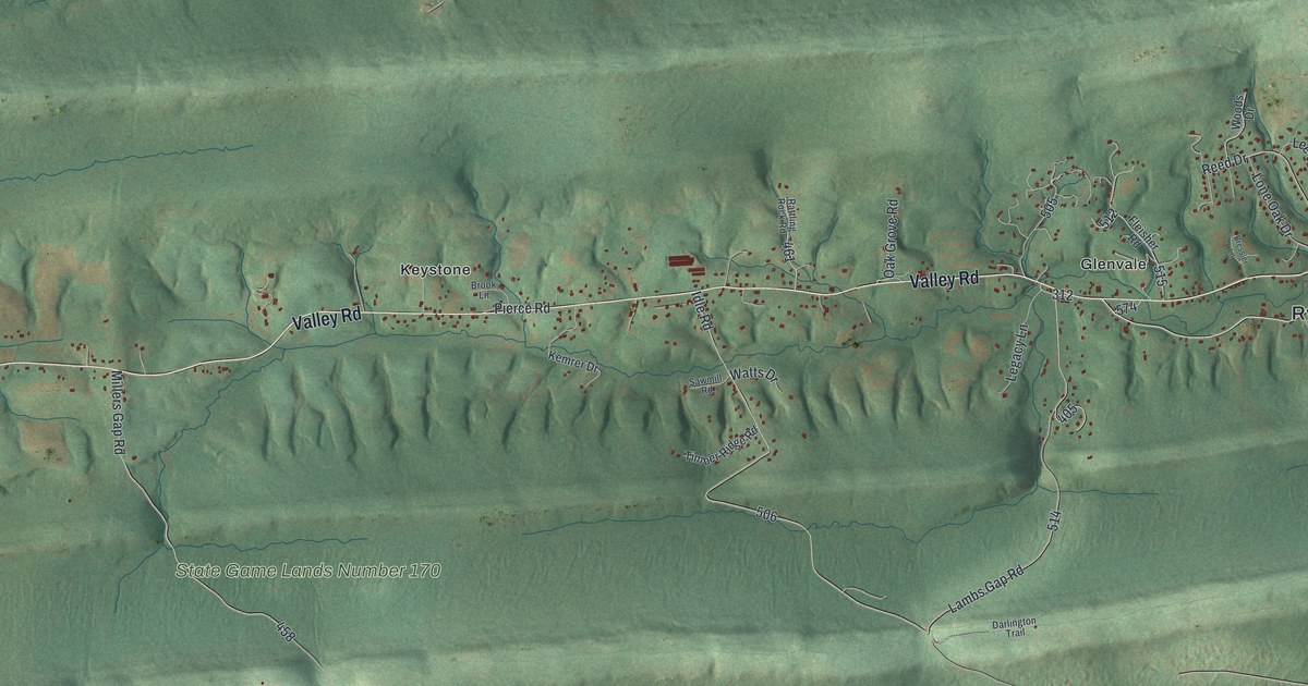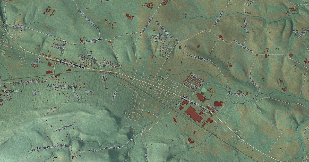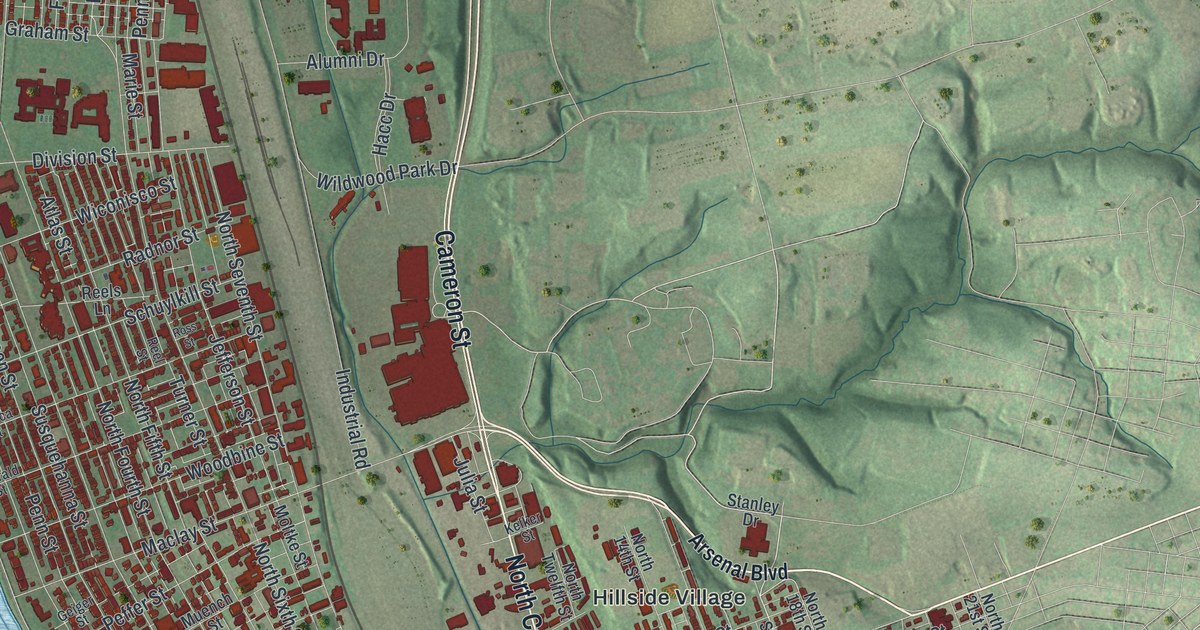
If you grew up off Derry Street, worked near the Capitol, or crossed the Market Street Bridge every day, this map is for you. It's a new aerial view of Harrisburg in Dauphin County, Pennsylvania, made from modern data and given a vintage look. A wide blue river runs down the left side, dotted with long green islands. The city's red rooftops fill the flat ground along the water, and green hills rise to the east.
From Harris' Ferry to the Pennsylvania State Capitol
On this map you'll find the Pennsylvania State Capitol, City Island, Market Street, State Street, North Front Street, North Second Street, Derry Street, Cameron Street, Paxton Street, Reservoir Park, Wildwood Park, Harrisburg Cemetery, the Harvey Taylor Bridge, Linglestown Road, and more. Each red shape is a building, so zoom in on the preview and look for yours.
Harrisburg started as a river crossing. In December 1733, John Harris was given the right to run a ferry here. For more than 50 years, the place was simply called Harris' Ferry. A great many early settlers heading west crossed the Susquehanna at his landing. His son, John Harris Jr., laid out the town in 1785. That same year, he set aside a four-acre lot to be held for the state. In 1810, the Legislature took the gift and voted to make the town the capital. Lawmakers have met here since 1812. That's the story told on the state historical markers along the river and around Capitol Park.
The 1897 fire and the Capitol built in 1906
The first capitol on that land was built of brick. Lawmakers moved in on January 2, 1822. A fire destroyed it on February 2, 1897. While a new one went up, the Legislature met in Grace Methodist Church on State Street. Joseph M. Huston designed the building that stands today. It was built from 1902 to 1906 and dedicated on October 4, 1906. On the map, find the Pennsylvania State Capitol label near the river, just up from the Market Street Bridge. John Harris Jr. built his own house on South Front Street from 1764 to 1766, close to where the ferry landed.
Harrisburg from Wildwood Park to City Island
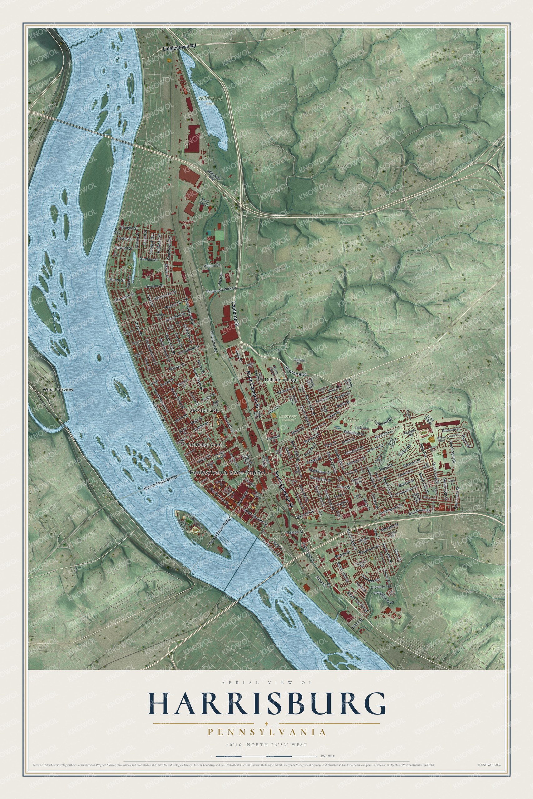
Created by KNOWOL in 2026, this print shows the river in soft blue, the hills in shaded green and the city's buildings in deep red. The title panel reads Aerial View of Harrisburg, Pennsylvania, 40°16' North 76°53' West.
It fits a home office, a front hall or a living room. It makes a good gift for someone who worked at the Capitol, walked the paths in Wildwood Park, or moved away and still misses the river. Open the preview and find your block. See sizes and frames for the Harrisburg map.