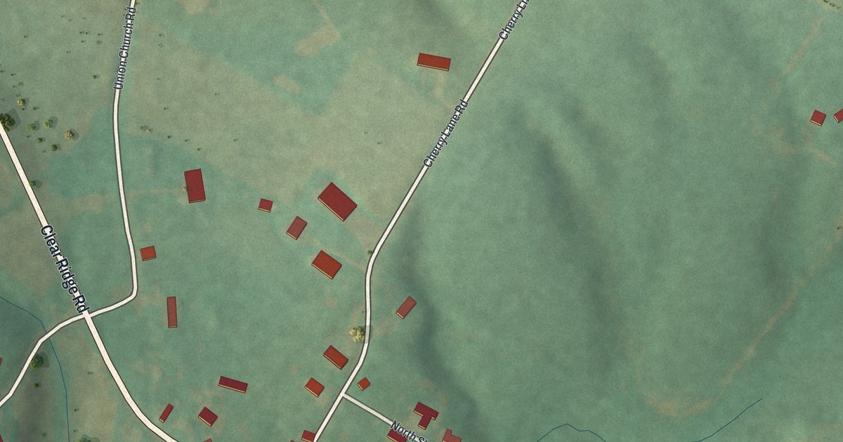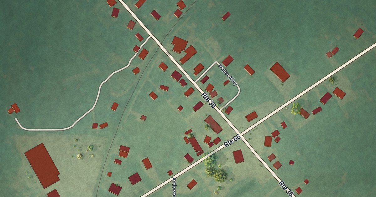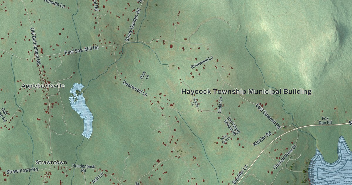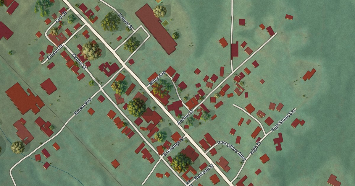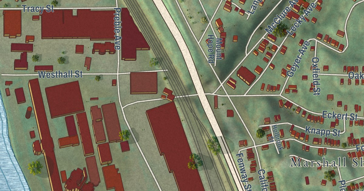
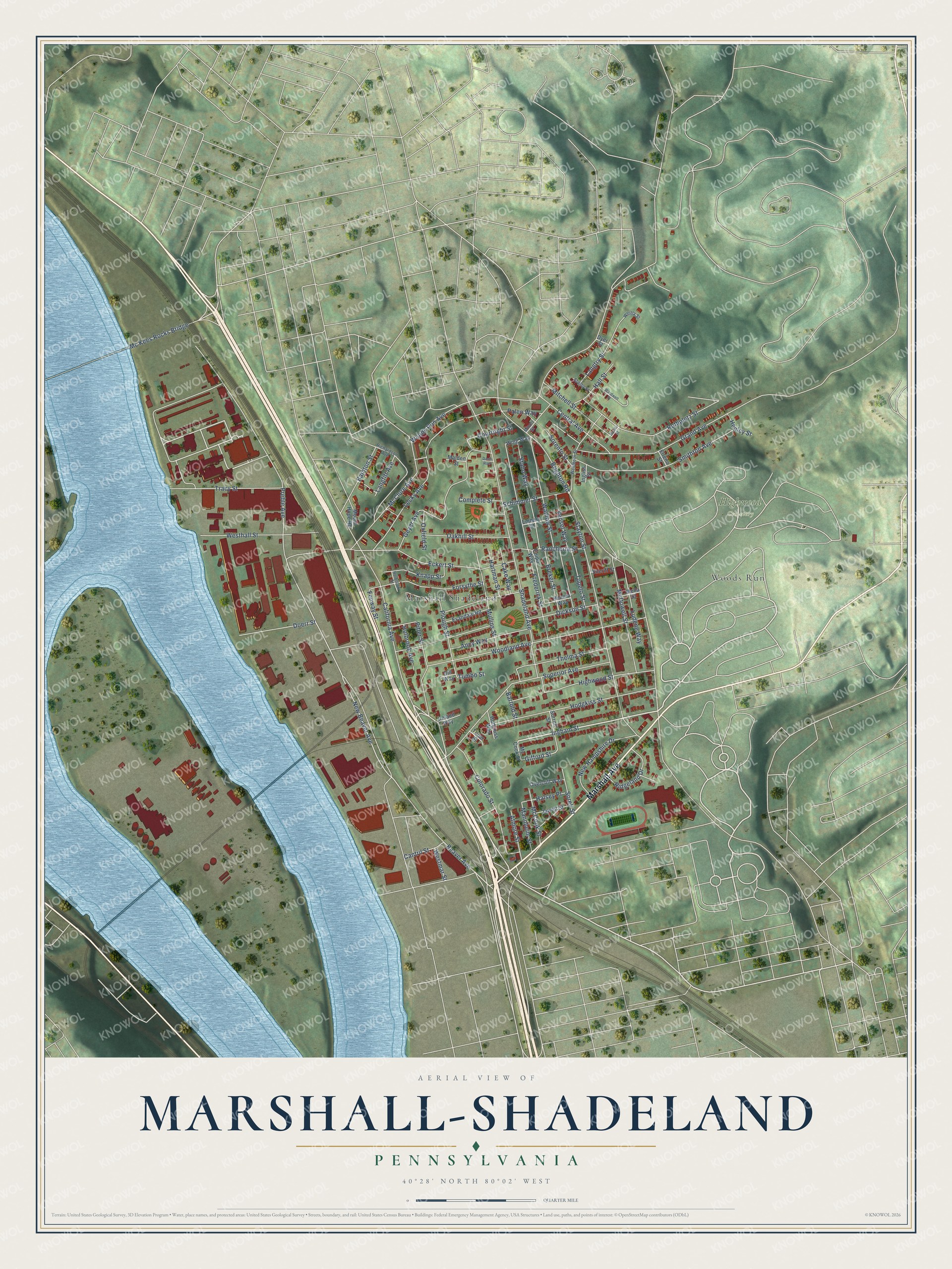
This beautifully detailed map of Marshall-Shadeland, Pennsylvania was created in 2026 using aerial imagery combined with modern topographical, census, street and landmark data. It’s a one-of-a-kind view of Marshall-Shadeland that combines accurate data with a vintage aesthetic. The map shows every building in its true location, many of the roads carry their names, and the shaded topographic relief shows the shape of the land.
Explore an aerial view of Marshall-Shadeland, Pennsylvania
On the map you’ll find Highwood Cemetery and Woods Run, along with Marshall Avenue, Ingham Street, California Avenue, New Beaver Avenue, Beaver Avenue, Gifford Street, Woods Run Avenue, Preble Avenue, Shadeland Avenue, and more. If you look closely you can even find your house accurately drawn in its correct location. Zoom in on the preview to look for yours.
Did you know this piece of Marshall-Shadeland, Pennsylvania history?
From George Thornton Fleming’s 1922 History of Pittsburgh and Environs: "The large district in the lower or western portion of the city is called Woods Run, and extends from the Ohio river to the western limits of the city."
Take a closer look at the Marshall-Shadeland map
Street and place names on the Marshall-Shadeland, Pennsylvania map
These names are printed on the map of Marshall-Shadeland, Pennsylvania.
Places: Highwood Cemetery, Marshall Shadeland and Woods Run.
Streets and roads: Marshall Avenue, Ingham Street, California Avenue, New Beaver Avenue, Beaver Avenue, Gifford Street, Woods Run Avenue, Preble Avenue, Shadeland Avenue, Brighton Road, Woodland Avenue, Stayton Street.
More street names, A to Z
Ancy Way, Atmore Street, Bainton Street, Bartold Street, Breker Street, Cake Way, Cantril Street, Central Avenue, Colorado Street, Complete Street, Courtright Street, Davis Row, Dickson Street, Dill Way, Doerr Street, Dyer Street, Eckert Street, Elreno Street, Embury Street, Enipo Way, Evandale Road, Fenway Street, Forsythe Street, Frederick Street, Geyer Avenue, Grand Avenue, Hall Street, Halsey Place, Hartman Street, Henley Street, Highwood Street, Hodgkiss Street, Hodgkiss Way, Holbrook Avenue, Holbrook Street, Honora Way, Ingliss Street, Ireland Way, Jawett Street, Knapp Street, Langfitt Avenue, Langtry Street, Lecky Avenue, Ludene Way, Malden Street, Mannheim Street, McClure Avenue, McCook Street, Mc Cook Street, McDowell Street, Mc Kees Rocks Bridge, Mella Street, Minott Street, Mitchell Street, Mount Hope Road, Mullins Street, New Hampshire Drive, Oakhill Street, Overcliff Way, Oxfield Street, Palen Way, Pitler Street, Plough Street, Rancheria Street, Richardson Avenue, Ridgeland Drive, Rothpletz Street, Schimmer Street, Shelby Street, Sheriff Street, Smithton Avenue, Sorell Street, Sorento Street, Sorrell Street, Staho Way, Superior Avenue, Sweet Street, Thelma Street, Toner Street, Tracy Street, Tumbo Street, Tupelo Street, Vensel Way, Wadlow Street, Wardwell Street, Westborn Street, Westhall Street, Westmar Street, Whitla Street, Wing Way.
See the Marshall-Shadeland, Pennsylvania map on a wall
The Marshall-Shadeland map as an 18 x 24 inch print in a black frame.

This beautifully detailed map of Marshall-Shadeland makes an attractive addition to your office, library, or den, and it can even be used to teach children the geography and history of the area. It also makes a great gift for anyone with Marshall-Shadeland roots. When you’re done exploring, click here to get your copy of the Marshall-Shadeland map.