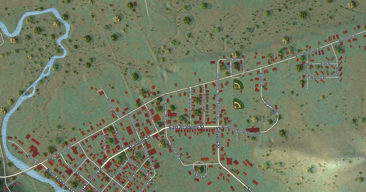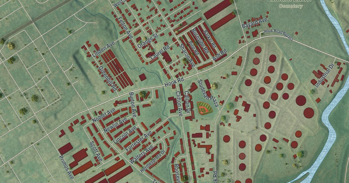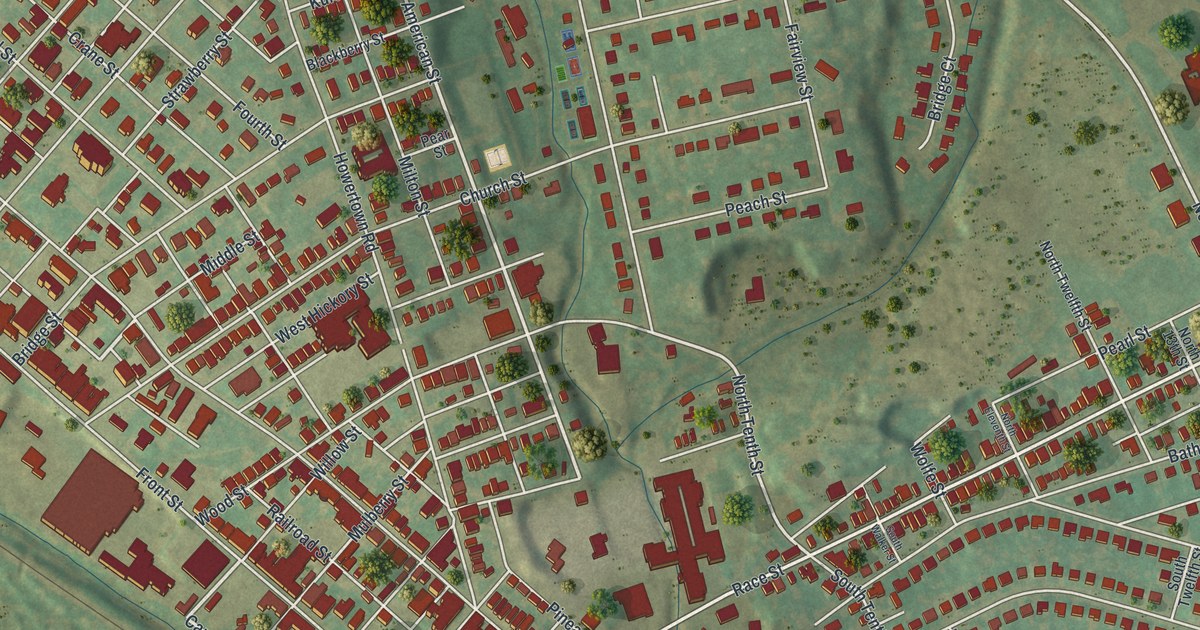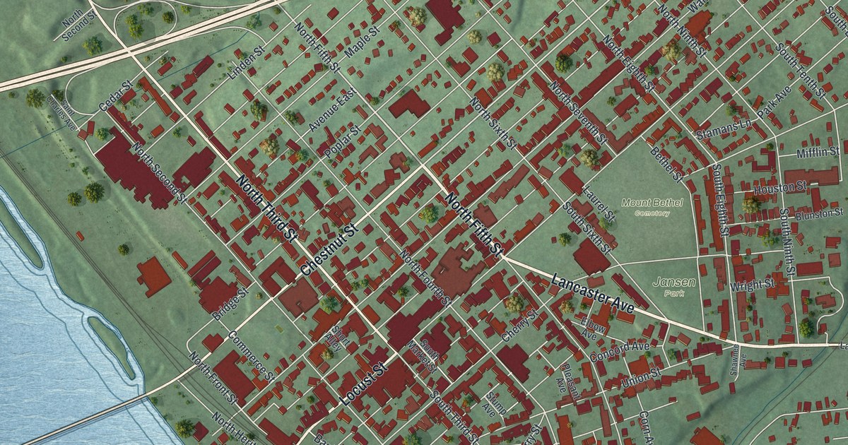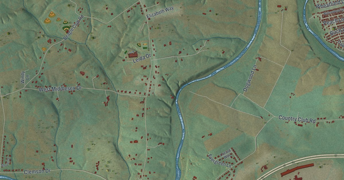
If you grew up in Middlesex Township, or you still drive Harrisburg Pike or Spring Road most days, this map is for you. It's a modern aerial view of Middlesex Township in Cumberland County, Pennsylvania, made from modern data and given a vintage look. A long mountain ridge runs across the top of the sheet. A blue creek winds through the middle, and red buildings crowd along Harrisburg Pike near the bottom.
Harrisburg Pike, Hickorytown and Donnellytown
On this map you'll find Harrisburg Pike, Spring Road, Wertzville Road, West Trindle Road, Army Heritage Drive, the Middlesex Township Municipal Building, Hickorytown, Donnellytown, Drytown, Sulphur Spring Road, Mill Road, Bernheisel Bridge Road, Wolf Bridge Road, Country Club Road, and more. Each red shape is a building, so zoom in on the preview and look for yours.
The Sulphur Spring at Carlisle Springs
The 1886 county history tells the story of Carlisle Springs. It sits near the mountains in the northwest corner of the township. For many years it was one of the most popular spring resorts in the county. People came for a spring of sulphur water that flowed into a marble basin. William Ramsey owned the land before 1830 and built the first hotel, a small two-story frame building. David Cornman bought it in 1832 and kept it for about 21 years. In that time it became a busy summer resort. About 1854, Morris Owen and A. P. Norton built a large hotel with room for several hundred guests. Fire destroyed it about 1867. A smaller hotel went up near the same spot, but it later became a private home. A small stream called Sulphur Springs Run flowed from the spring down to the creek at Middlesex. On the map, look for Springs Road and Sulphur Spring Road. They share the old spring's name.
The Old Mills Where the Letort Meets the Creek
Middlesex Township was formed from part of North Middleton Township in 1859. But its name is much older. Middlesex was first a tract of about 560 acres where the Letort Spring meets the Conodoguinet Creek. The book calls it one of the oldest settlements in the county. John Chambers Sr. owned the tract, and before 1757 he built houses, a grist mill, a saw mill and a distillery there. Later, Capt. Robert Callender built a large flour mill at the mouth of the Letort. He was one of the biggest fur traders in Pennsylvania. About 1850, Charles B. Penrose built a paper mill there. An early Indian trail from the Susquehanna River crossed the creek at Middlesex and went on over the mountain. Find the wide blue creek that winds across the middle of the map. That's the Conodoguinet, the same creek those first mills stood beside.
From Donnellytown to Hickorytown
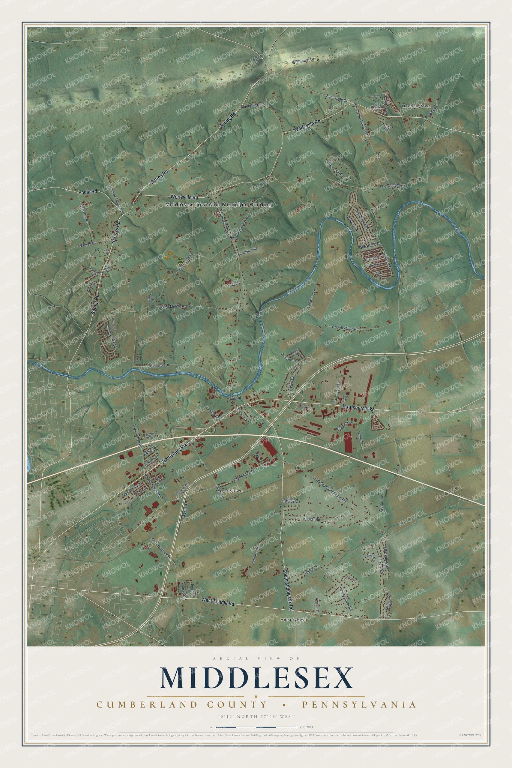
Created by KNOWOL in 2026, this print shows Middlesex Township from above in soft greens, with the creek in blue and each building in red. A long mountain ridge crosses the top of the sheet, and farm fields fill the land below it. The title panel reads "Aerial View of Middlesex, Cumberland County, Pennsylvania" and gives the coordinates 40°16' North 77°09' West.
It fits well in a living room, a home office or a den. It's a good gift for someone who grew up near Donnellytown, went to meetings at the Middlesex Township Municipal Building, or moved away from a house off Wertzville Road. Open the preview and find your own road. See sizes and frames for the Middlesex, Cumberland County map.