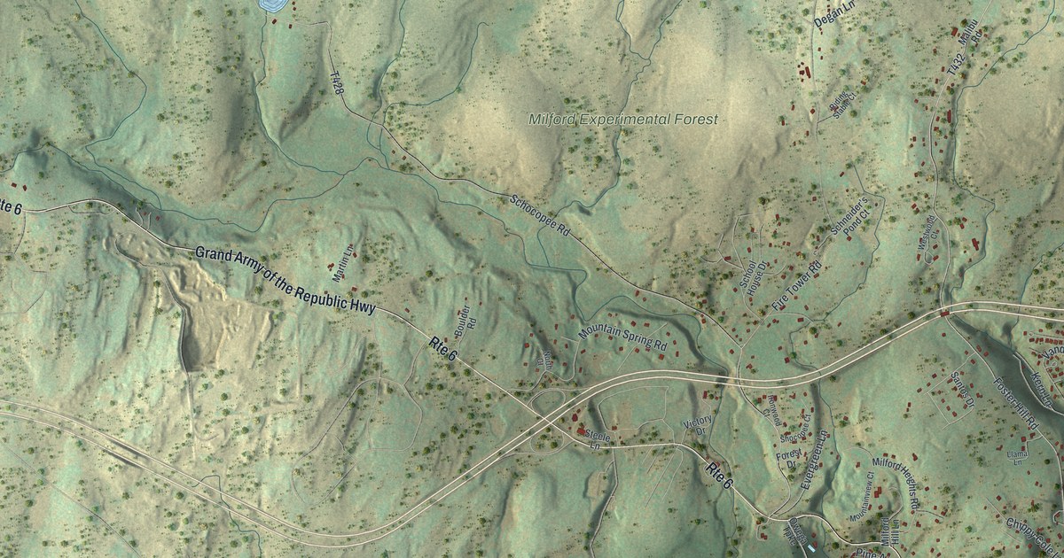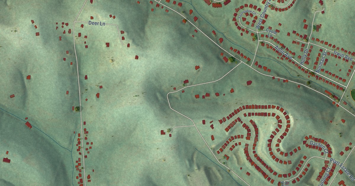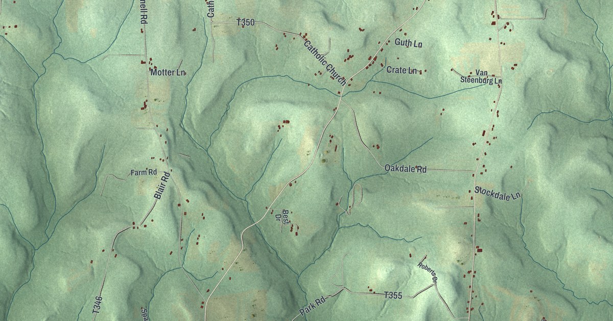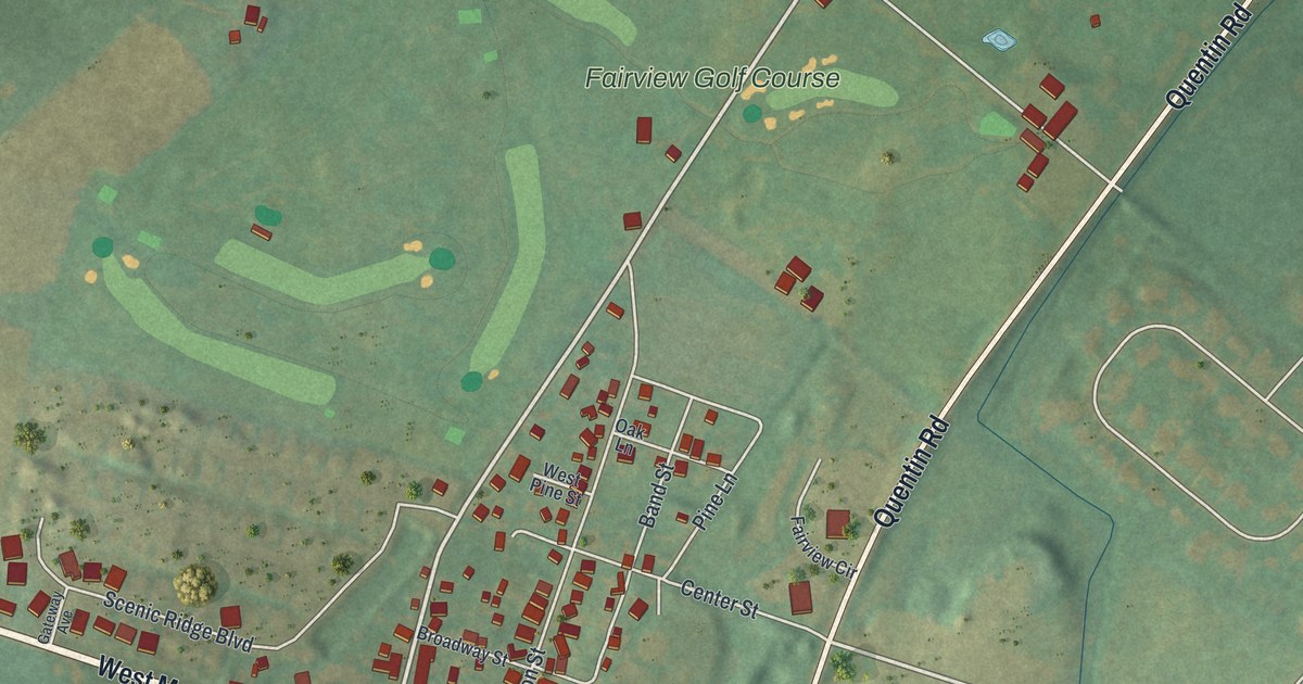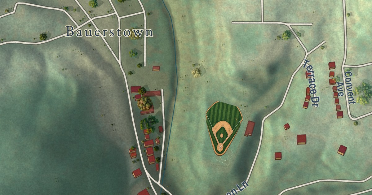
This beautifully detailed map of Millvale, Pennsylvania was created in 2026 using aerial imagery combined with modern topographical, census, street and landmark data. It’s a one-of-a-kind view of Millvale that combines accurate data with a vintage aesthetic. The map shows every building in its true location, many of the roads carry their names, and the shaded topographic relief shows the shape of the land.
Explore an aerial view of Millvale, Pennsylvania
On the map you’ll find Bauerstown and Crossing Bridge, along with Evergreen Avenue, East Ohio Street, Stanton Avenue, Seavey Road, North Avenue, Beckert Street, Shoup Street, Bismark Street, Sedgwick Street, River Front Drive, and more. If you look closely you can even find your house accurately drawn in its correct location. Zoom in on the preview to look for yours.
Take a closer look at the Millvale map
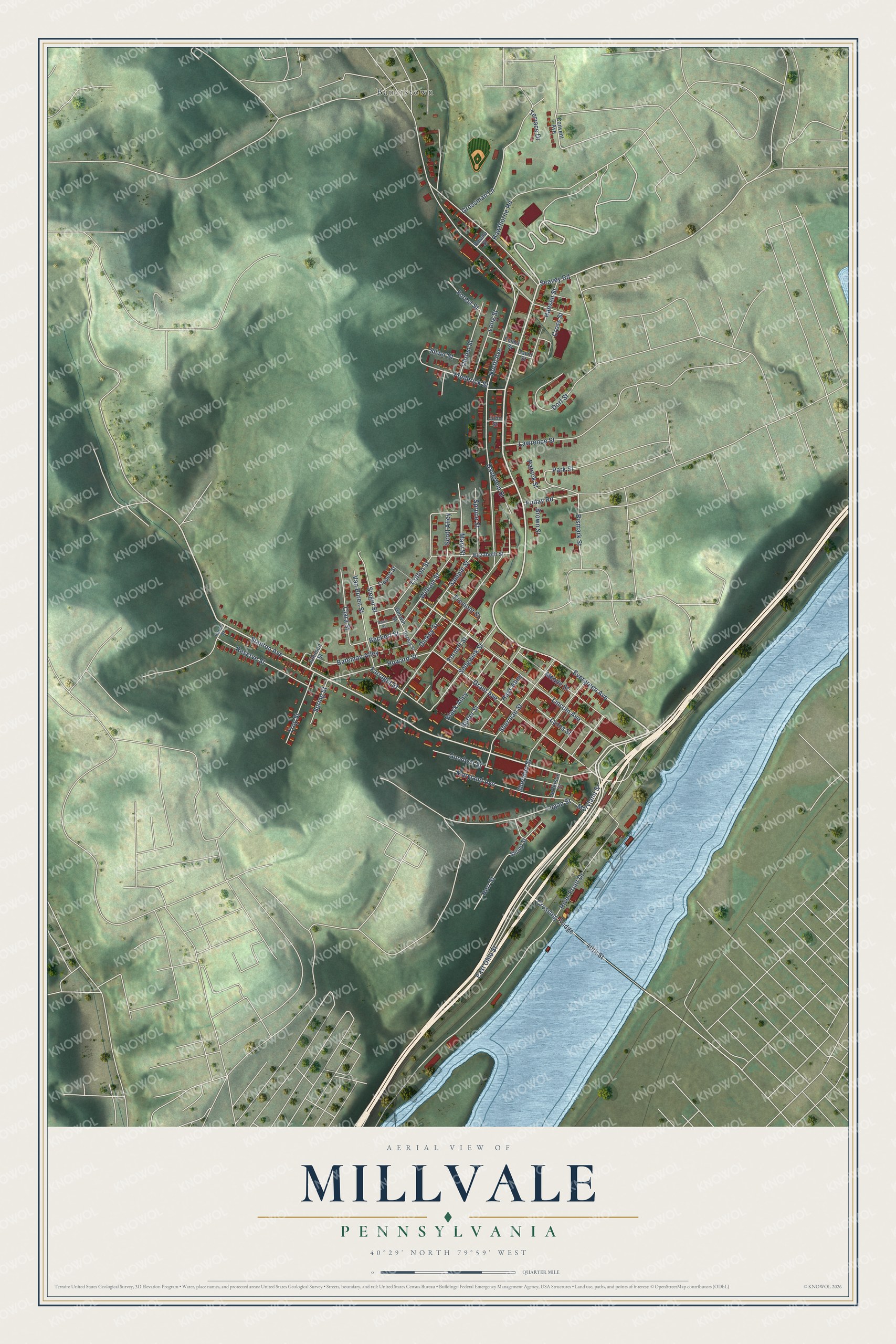
Street and place names on the Millvale, Pennsylvania map
These names are printed on the map of Millvale, Pennsylvania.
Places: Bauerstown.
Streets and roads: Evergreen Avenue, East Ohio Street, Stanton Avenue, Seavey Road, North Avenue, Beckert Street, Bismark Street, Sedgwick Street, 40th Street, Crossing Bridge, River Front Drive, Lincoln Avenue.
More street names, A to Z
Bateman Alley, Bauerlein Street, Bessie Street, Black Alley, Brown Street, Butler Street, Clara Street, Colton Street, Convent Avenue, Cross Street, David Street, Davis Street, Dickey Street, Dorf Street, Elizabeth Street, Emma Street, Farragut Street, Forest Street, Fornoff Street, Frederick Street, Fremont Street, Friday Road, Gerwig Street, Gerwin Street, Goodwin Street, Grant Avenue, Grossman Lane, Hansen Street, Hawthorne Road, Hays Alley, Herr Street, Howard Street, Jefferson Street, Johnson Street, John Street, Karen Drive, Lawrence Street, Lippert Street, Logan Street, Long Street, Lyons Street, Maryland Avenue, Maryland Street, Mary Street, Meade Street, Obrien Street, Park Street, Patrick Street, Reserve Street, Sample Street, Scott Alley, Sheridan Street, Sherman Street, Shoup Street, Siegel Street, Silver Street, Spring Street, Spruce Street, Terrace Drive, Troy Street, Van Buren Street, William Street.
See the Millvale, Pennsylvania map on a wall
The Millvale map as an 18 x 24 inch print in a black frame.

This beautifully detailed map of Millvale makes an attractive addition to your office, library, or den, and it can even be used to teach children the geography and history of the area. It also makes a great gift for anyone with Millvale roots. When you’re done exploring, click here to get your copy of the Millvale map.