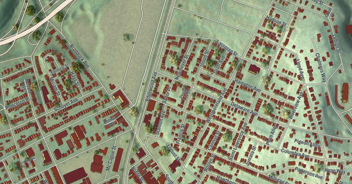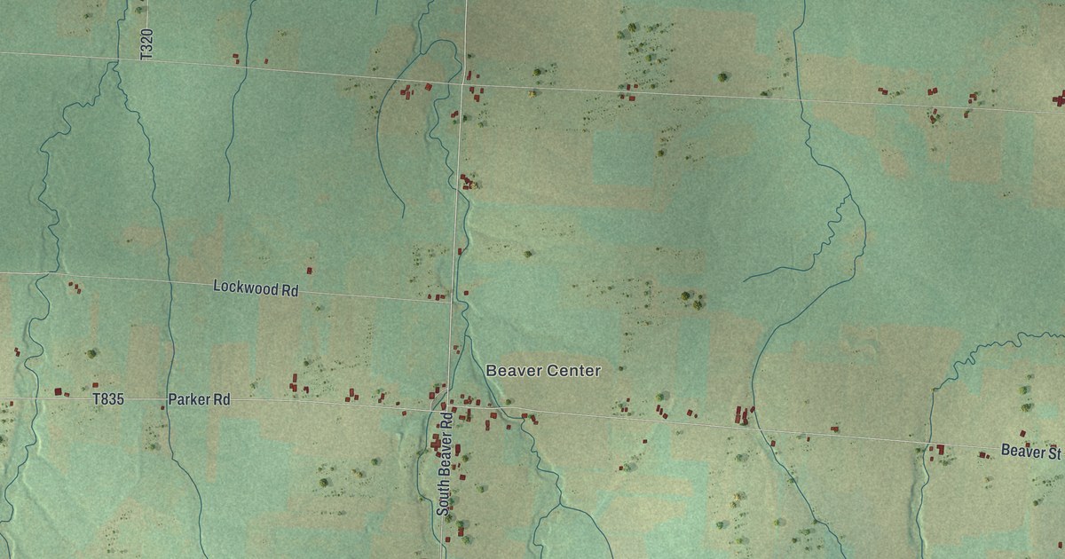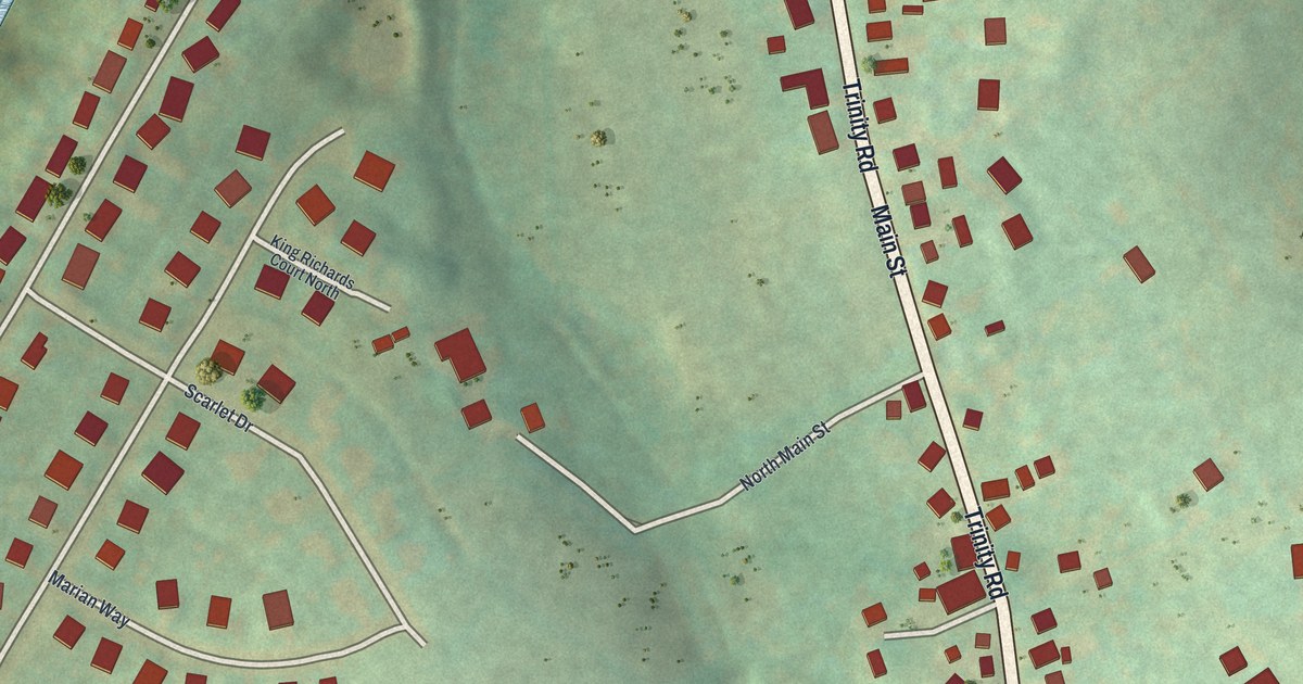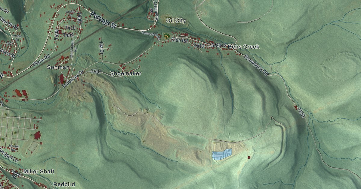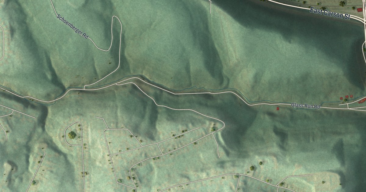
If you grew up in Hays, look for your street among these green hills. This modern aerial view shows Hays in Allegheny County, Pennsylvania, using modern data with a vintage feel. A wide blue river curves across the print. Red buildings gather along the roads below the wooded slopes.
Hays Woods and the streets you know
On this map you'll find Hays Woods, Mifflin Road, Glass Run Road, Glenwood Bridge, East Carson Street, Baldwin Road, West Ashby Street, West Agnew Road, Schoenberger Road, Calera Street, Haysglen Street, and more. Each red shape is a building, so zoom in on the preview and look for yours.
Hays Woods fills a broad stretch of green on the print. Shaded slopes show the folds in the land around it. Across the sheet, small groups of red buildings sit between long hills. The river bend and the bridge give you larger shapes to recognize.
The printed name Mifflin Road also connects this view to a nearby school's history. The National Register lists Mifflin Elementary School at Mifflin Road and Lincoln Place in Pittsburgh. The school joined the register in September 1986. Its record gives you a piece of local history to explore beyond your own block.
Keep Hays Woods close to home
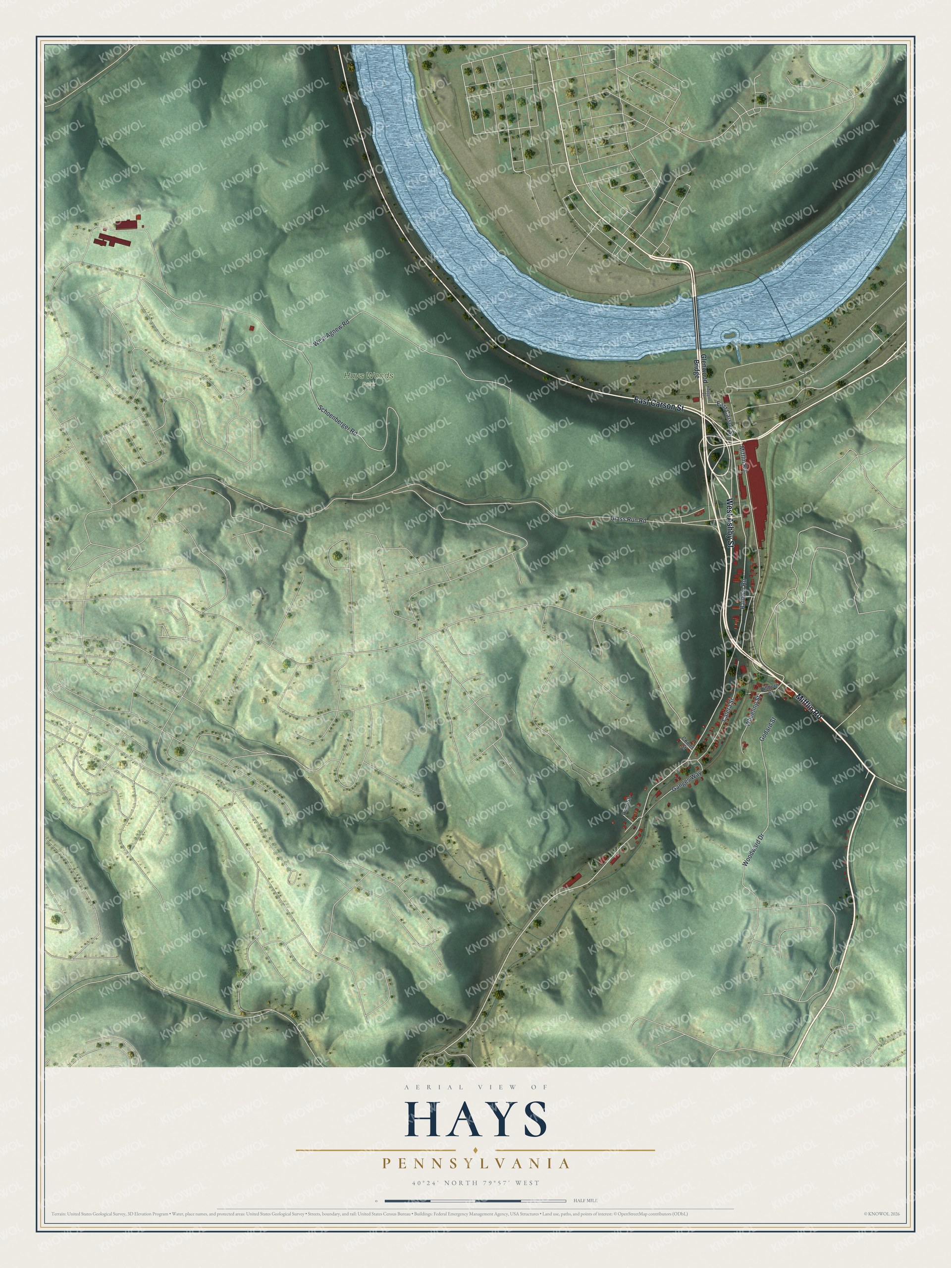
Created by KNOWOL in 2026, the print pairs soft green hills with blue water and deep red buildings. A cream border surrounds the view. The title panel reads AERIAL VIEW OF, HAYS, PENNSYLVANIA, with 40°24' NORTH 79°57' WEST below.
It's a good fit for a living room, hallway, or home office. Give it to someone who grew up near Glass Run Road and wants to keep home close. Open the preview to look for the streets you know. See sizes and frames for the Hays map.