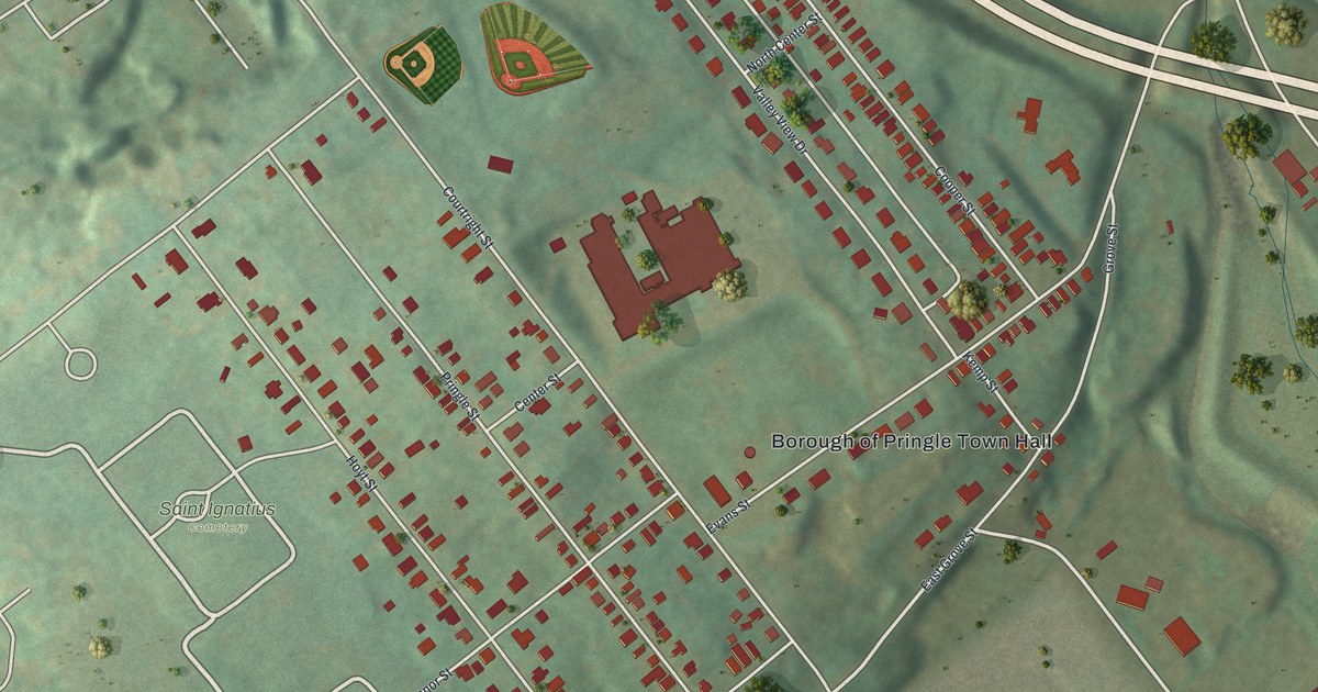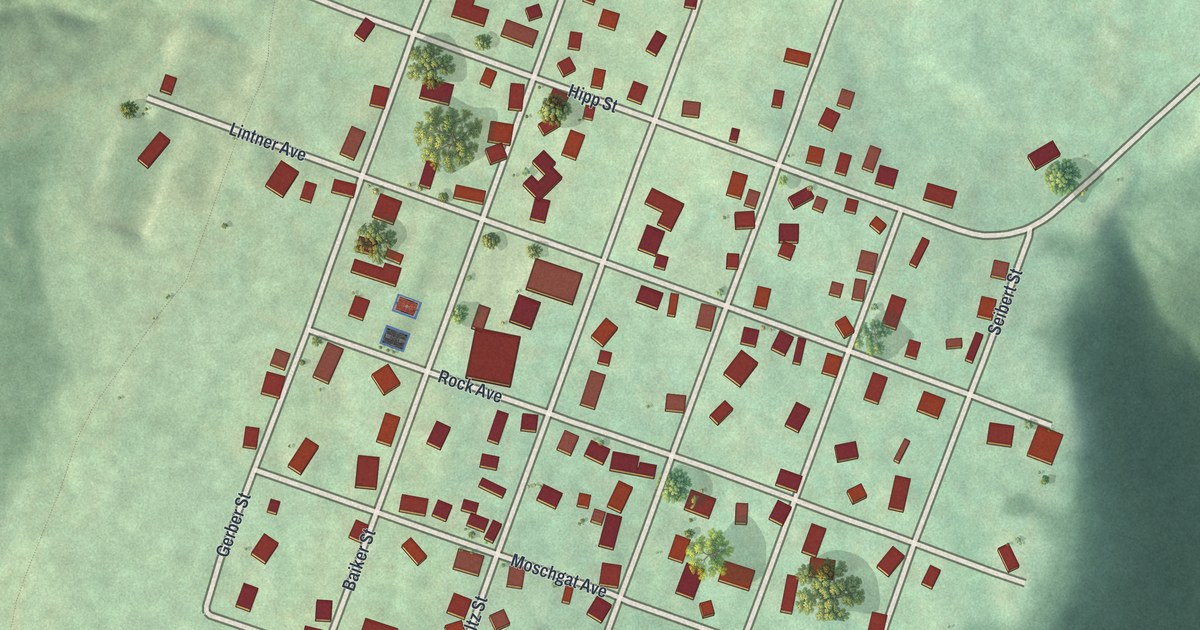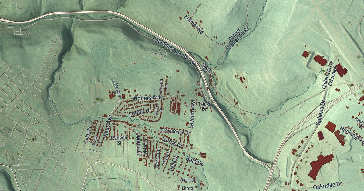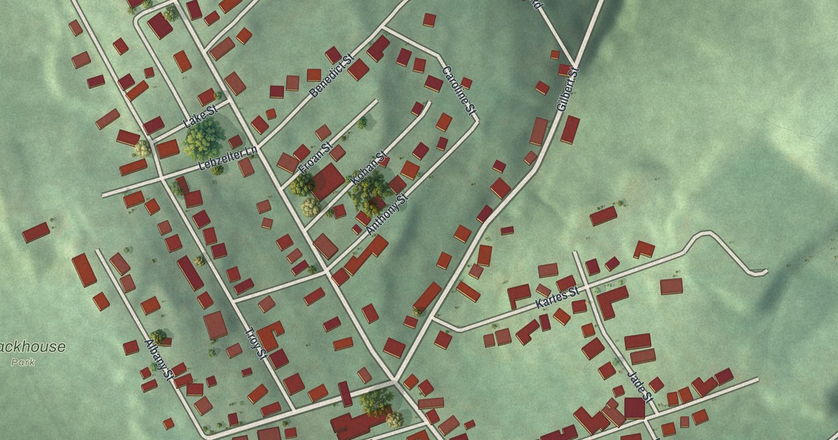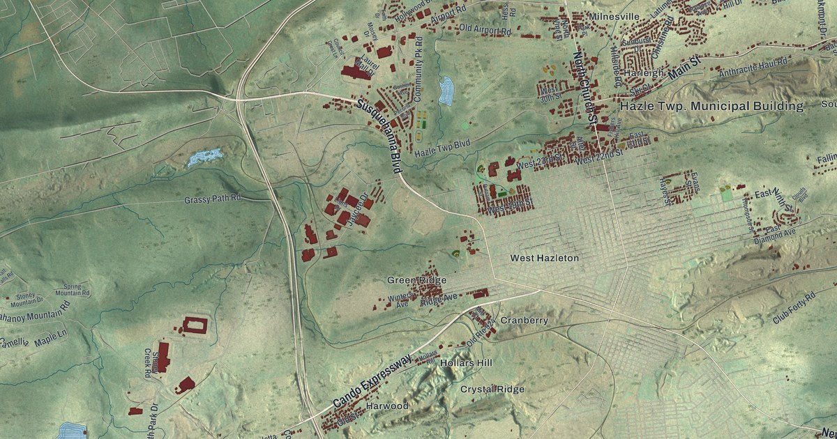
If you grew up in Harwood, Lattimer, Drifton or one of the other old mining villages around Hazleton, this map is for you. It's a modern aerial view of Hazle Township in Luzerne County, Pennsylvania, made from modern data and given a vintage feel. It shows the long ridges, the blue ponds and about two dozen named places, from Pardeesville and Milnesville near the top to Jeansville and Beaver Brook near the bottom.
Main Street, Lattimer Road and the Villages of Hazle
On this map you'll find Main Street, North Church Street, Susquehanna Boulevard, Cando Expressway, Lattimer Road, Airport Road, Hazle Twp Boulevard, Stockton Mountain Road, West Hazleton, Milnesville, Harwood, Lattimer, Drifton, Jeansville, and more. Each red shape is a building, so zoom in on the preview and look for yours.
The Lattimer Massacre of 1897
On September 10, 1897, nearly 400 immigrant coal miners were on strike. They set out from Harwood and marched toward Lattimer. They wanted higher wages and equal rights. They carried no guns. At Lattimer, sheriff's deputies fired on them. Nineteen marchers were killed and 38 were wounded. The dead were Polish, Slovak and Lithuanian. A state historical marker calls it one of the most serious acts of violence in American labor history. Most of the dead were buried in St. Stanislaus Cemetery in Hazleton. Today there's a marker at each end of the march. Both Harwood and Lattimer are printed on the map, and one marker stands on Lattimer Road.
Jeansville, Drifton and the Other Coal Towns
Hazle Township was split off from Sugarloaf Township in 1839. Coal mines drew most of its people, and each village grew up around its own colliery. The 1893 History of Luzerne County walks through them one by one. Lattimer had a railroad, a post office, a hotel, a company store and two breakers. William Milnes opened the Milnesville colliery in 1850. Jeansville was named for Joseph Jeans of Philadelphia. The 1893 History of Luzerne County says coal operations began in 1845, and the first coal went overland to Beaver Meadow, the only place to reach a railroad. Drifton was the town of Coxe Bros. & Co., and the first iron and steel breaker was built there. Harleigh had two hotels and a good school. Japan had nearly 500 workmen, and the Oakdale colliery was there.
A Map of Hazle Township, From Drifton to Beaver Brook
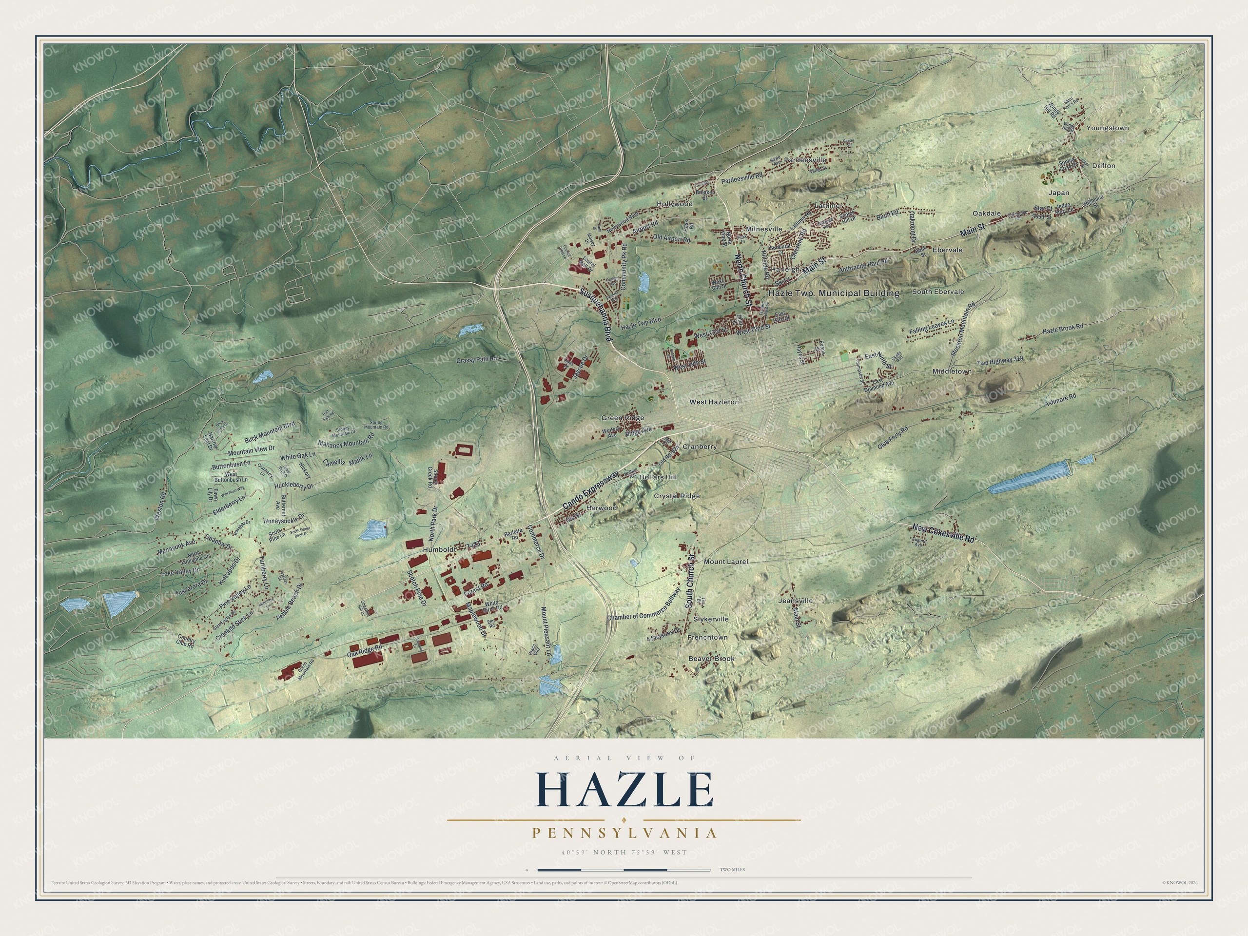
Created by KNOWOL in 2026, the print shows Hazle Township from above, with shaded ridges, blue ponds and each building in red. The title panel reads Aerial View of Hazle, Pennsylvania, with the coordinates 40°59' North 75°59' West.
It fits a living room, a den or an office wall. It's a good gift for anyone with family roots in Lattimer or Harwood, or anyone who grew up in Drifton, Japan or Jeansville and now lives far away. Open the preview and look for your village. See sizes and frames for the Hazle map.